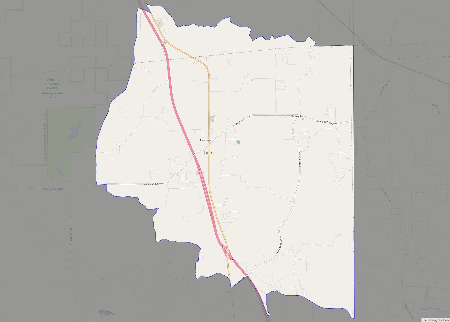
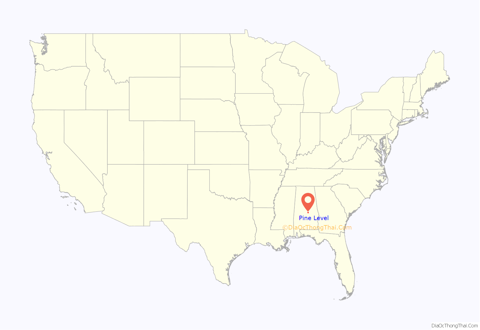
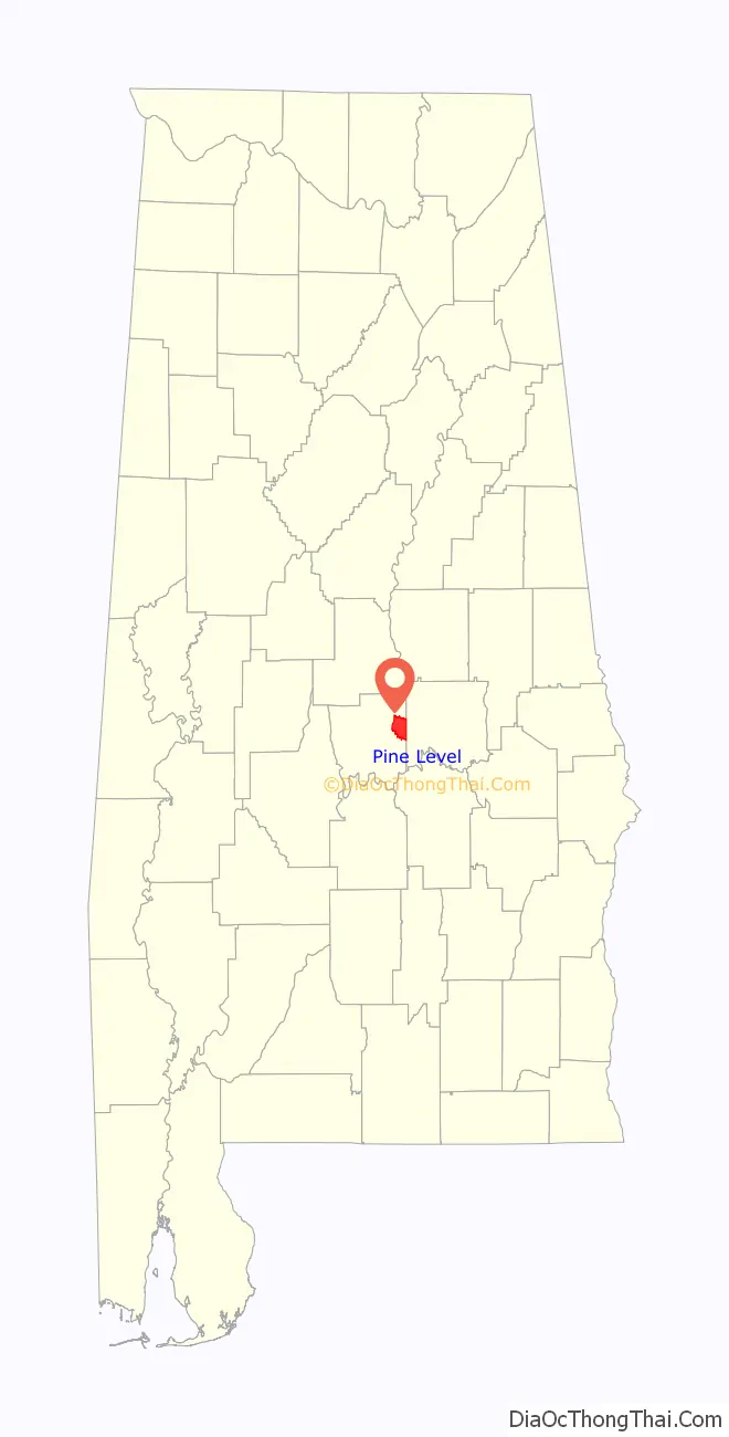
Pine Level is a census-designated place and unincorporated community in Autauga County, Alabama, north of Prattville and west of Deatsville. As of the 2010 census, its population was 4,183. Pine Level is home to Pine Level Elementary School and Marbury High School, part of the Autauga County School System.
The community is located along U.S. Route 31, 18 mi (29 km) northwest of Montgomery and 77 mi (124 km) south of Birmingham, both via I-65.
| Name: | Pine Level CDP |
|---|---|
| LSAD Code: | 57 |
| LSAD Description: | CDP (suffix) |
| State: | Alabama |
| County: | Autauga County |
| Elevation: | 574 ft (175 m) |
| Total Area: | 25.22 sq mi (65.33 km²) |
| Land Area: | 25.17 sq mi (65.20 km²) |
| Water Area: | 0.05 sq mi (0.13 km²) |
| Total Population: | 4,885 |
| Population Density: | 194.05/sq mi (74.92/km²) |
| ZIP code: | 36067,36066,36022 |
| Area code: | 334 |
| FIPS code: | 0160264 |
| GNISfeature ID: | 124826 |
Online Interactive Map
Click on ![]() to view map in "full screen" mode.
to view map in "full screen" mode.
Pine Level location map. Where is Pine Level CDP?
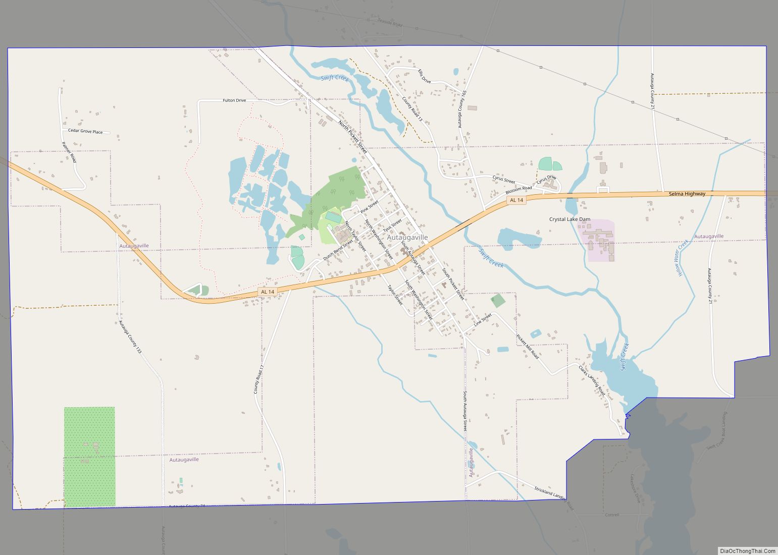
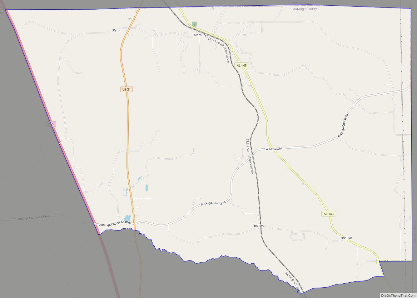
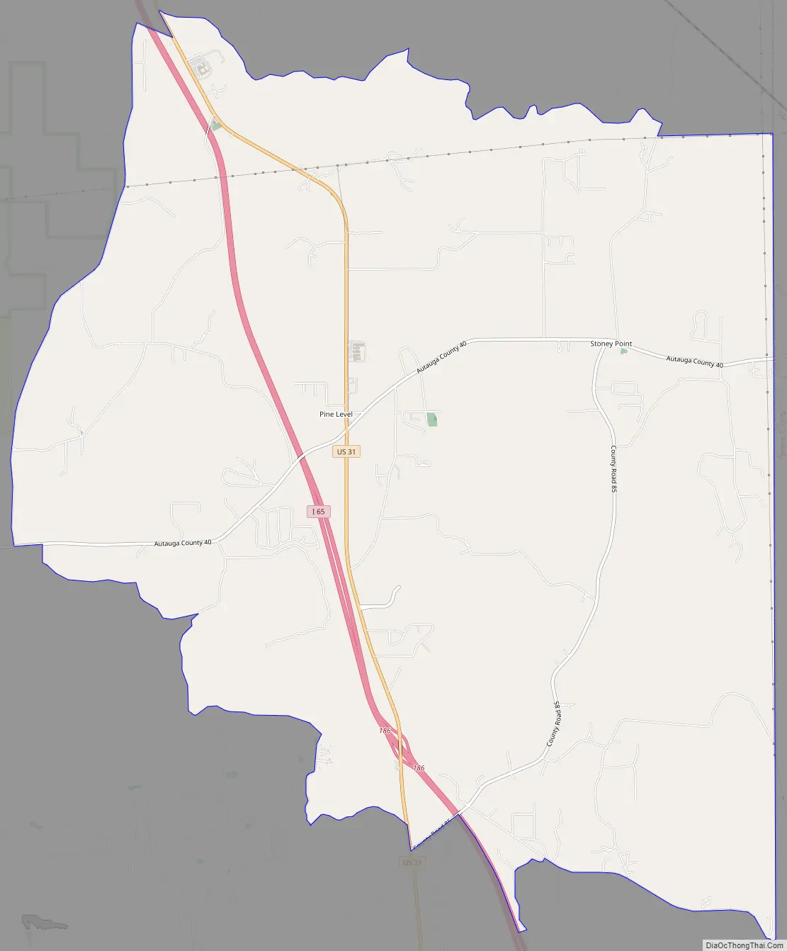
Pine Level Road Map
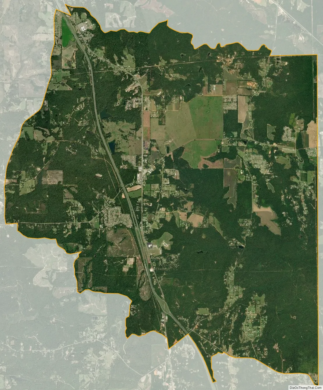
Pine Level city Satellite Map
See also
Map of Alabama State and its subdivision:- Autauga
- Baldwin
- Barbour
- Bibb
- Blount
- Bullock
- Butler
- Calhoun
- Chambers
- Cherokee
- Chilton
- Choctaw
- Clarke
- Clay
- Cleburne
- Coffee
- Colbert
- Conecuh
- Coosa
- Covington
- Crenshaw
- Cullman
- Dale
- Dallas
- De Kalb
- Elmore
- Escambia
- Etowah
- Fayette
- Franklin
- Geneva
- Greene
- Hale
- Henry
- Houston
- Jackson
- Jefferson
- Lamar
- Lauderdale
- Lawrence
- Lee
- Limestone
- Lowndes
- Macon
- Madison
- Marengo
- Marion
- Marshall
- Mobile
- Monroe
- Montgomery
- Morgan
- Perry
- Pickens
- Pike
- Randolph
- Russell
- Saint Clair
- Shelby
- Sumter
- Talladega
- Tallapoosa
- Tuscaloosa
- Walker
- Washington
- Wilcox
- Winston
- Alabama
- Alaska
- Arizona
- Arkansas
- California
- Colorado
- Connecticut
- Delaware
- District of Columbia
- Florida
- Georgia
- Hawaii
- Idaho
- Illinois
- Indiana
- Iowa
- Kansas
- Kentucky
- Louisiana
- Maine
- Maryland
- Massachusetts
- Michigan
- Minnesota
- Mississippi
- Missouri
- Montana
- Nebraska
- Nevada
- New Hampshire
- New Jersey
- New Mexico
- New York
- North Carolina
- North Dakota
- Ohio
- Oklahoma
- Oregon
- Pennsylvania
- Rhode Island
- South Carolina
- South Dakota
- Tennessee
- Texas
- Utah
- Vermont
- Virginia
- Washington
- West Virginia
- Wisconsin
- Wyoming