Sand Rock is a town in Cherokee and DeKalb counties in the U.S. state of Alabama. It incorporated in 1988. At the 2020 census, the population was 591.
| Name: | Sand Rock town |
|---|---|
| LSAD Code: | 43 |
| LSAD Description: | town (suffix) |
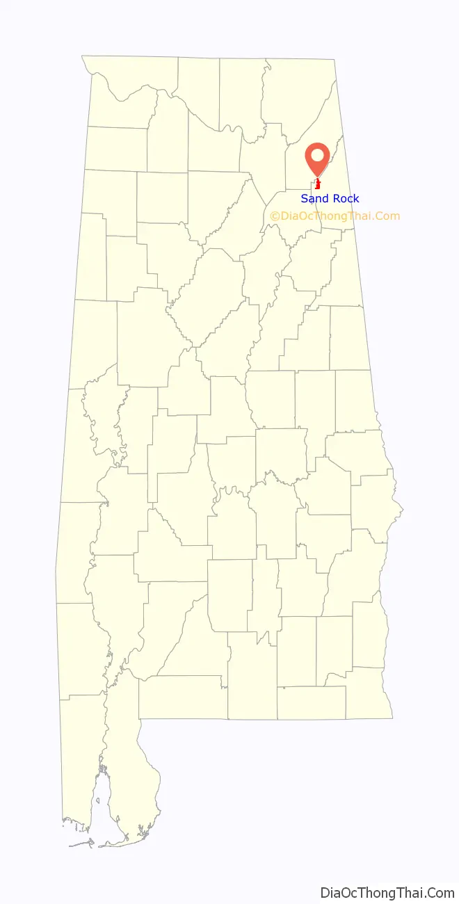
| State: | Alabama |
| County: | Cherokee County, DeKalb County |
| Elevation: | 860 ft (260 m) |
| Total Area: | 5.07 sq mi (13.13 km²) |
| Land Area: | 5.07 sq mi (13.13 km²) |
| Water Area: | 0.00 sq mi (0.00 km²) |
| Total Population: | 591 |
| Population Density: | 116.55/sq mi (44.99/km²) |
| ZIP code: | 35983 |
| Area code: | 256 |
| FIPS code: | 0167920 |
| GNISfeature ID: | 2407282 |
| Website: | www.sandrock-al.org |
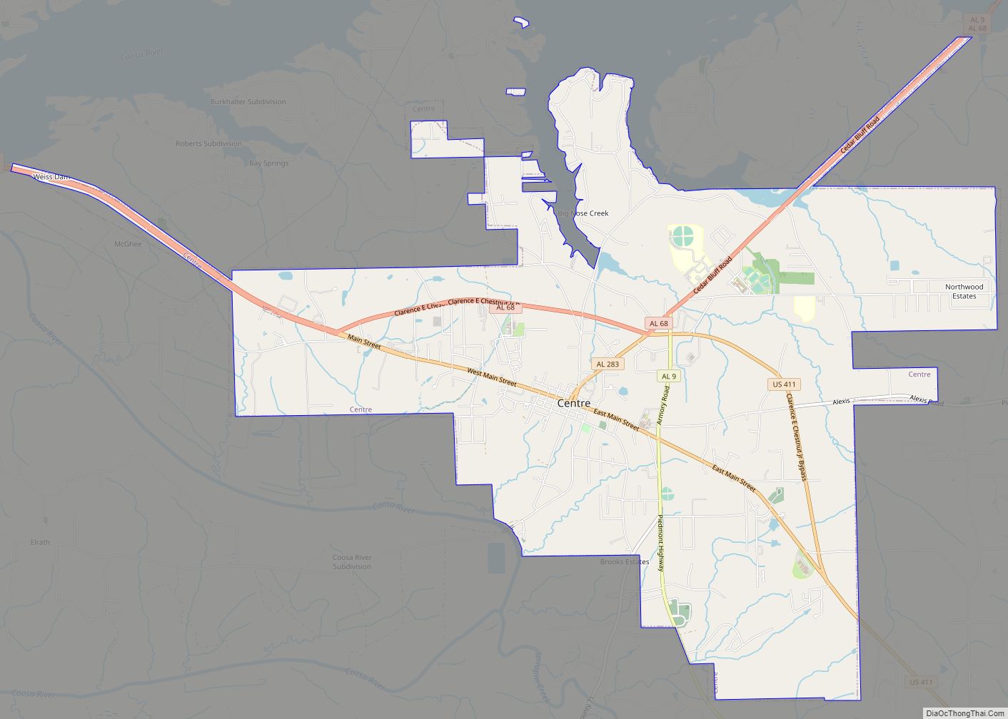
Online Interactive Map
Click on ![]() to view map in "full screen" mode.
to view map in "full screen" mode.
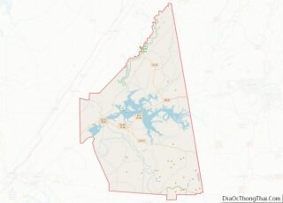
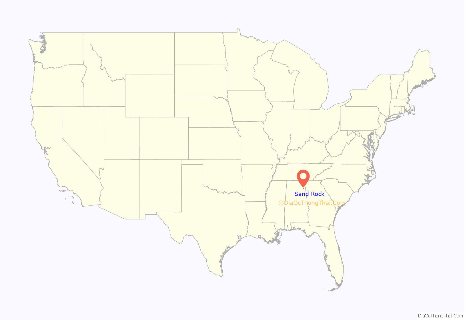
Sand Rock location map. Where is Sand Rock town?
History
A post office called Sand Rock was established in 1855, and remained in operation until it was discontinued in 1903. Legend has it the city was named after a pioneer sat on a rock upon sandy ground.
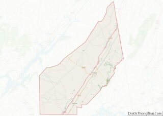
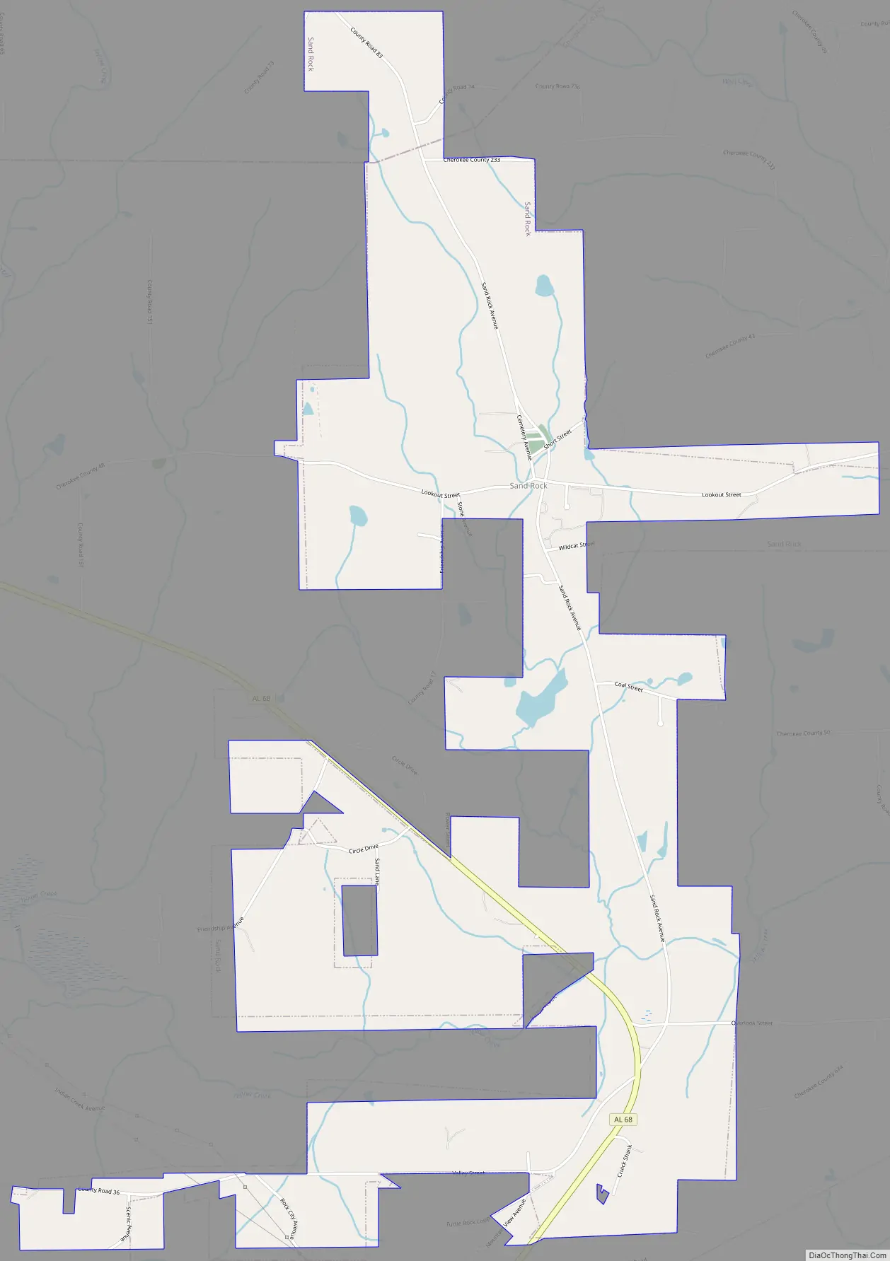
Sand Rock Road Map
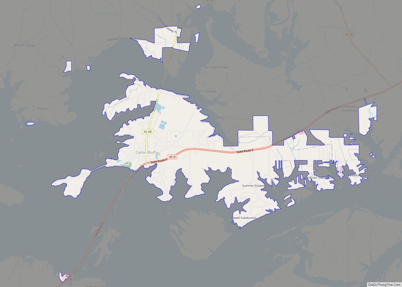
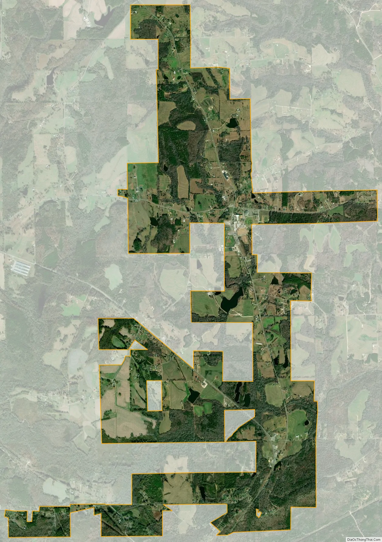
Sand Rock city Satellite Map
Geography
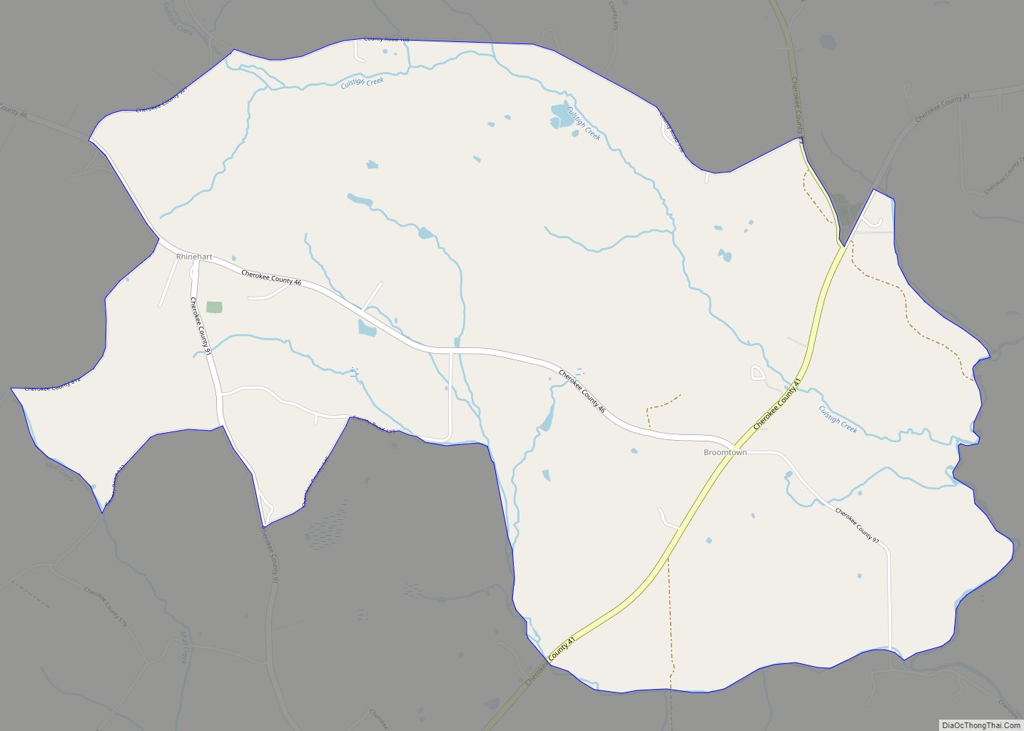
Sand Rock is located in western Cherokee County at 34°13’57.115″ North, 85°46’13.516″ West (34.232532, -85.770421), atop Lookout Mountain. A portion of the town extends north into DeKalb County. The town is bordered to the south by the town of Leesburg.
According to the U.S. Census Bureau, the town has a total area of 4.4 square miles (11.3 km), all land.
See also
Map of Alabama State and its subdivision:- Autauga
- Baldwin
- Barbour
- Bibb
- Blount
- Bullock
- Butler
- Calhoun
- Chambers
- Cherokee
- Chilton
- Choctaw
- Clarke
- Clay
- Cleburne
- Coffee
- Colbert
- Conecuh
- Coosa
- Covington
- Crenshaw
- Cullman
- Dale
- Dallas
- De Kalb
- Elmore
- Escambia
- Etowah
- Fayette
- Franklin
- Geneva
- Greene
- Hale
- Henry
- Houston
- Jackson
- Jefferson
- Lamar
- Lauderdale
- Lawrence
- Lee
- Limestone
- Lowndes
- Macon
- Madison
- Marengo
- Marion
- Marshall
- Mobile
- Monroe
- Montgomery
- Morgan
- Perry
- Pickens
- Pike
- Randolph
- Russell
- Saint Clair
- Shelby
- Sumter
- Talladega
- Tallapoosa
- Tuscaloosa
- Walker
- Washington
- Wilcox
- Winston
- Alabama
- Alaska
- Arizona
- Arkansas
- California
- Colorado
- Connecticut
- Delaware
- District of Columbia
- Florida
- Georgia
- Hawaii
- Idaho
- Illinois
- Indiana
- Iowa
- Kansas
- Kentucky
- Louisiana
- Maine
- Maryland
- Massachusetts
- Michigan
- Minnesota
- Mississippi
- Missouri
- Montana
- Nebraska
- Nevada
- New Hampshire
- New Jersey
- New Mexico
- New York
- North Carolina
- North Dakota
- Ohio
- Oklahoma
- Oregon
- Pennsylvania
- Rhode Island
- South Carolina
- South Dakota
- Tennessee
- Texas
- Utah
- Vermont
- Virginia
- Washington
- West Virginia
- Wisconsin
- Wyoming