Saraland is a city in Mobile County, Alabama, United States, and a suburb of Mobile. As of the 2020 census, the population of the city was 16,171, up from 13,405 at the 2010 census. Saraland, part of the Mobile metropolitan area, is the third largest city in Mobile County.
| Name: | Saraland city |
|---|---|
| LSAD Code: | 25 |
| LSAD Description: | city (suffix) |
| State: | Alabama |
| County: | Mobile County |
| Incorporated: | 1957 |
| Elevation: | 13 ft (4 m) |
| Total Area: | 32.37 sq mi (83.84 km²) |
| Land Area: | 32.15 sq mi (83.27 km²) |
| Water Area: | 0.22 sq mi (0.57 km²) |
| Total Population: | 16,171 |
| Population Density: | 502.97/sq mi (194.20/km²) |
| ZIP code: | 36571 |
| Area code: | 251 |
| FIPS code: | 0168160 |
| GNISfeature ID: | 0153329 |
| Website: | www.saraland.org |
Online Interactive Map
Click on ![]() to view map in "full screen" mode.
to view map in "full screen" mode.
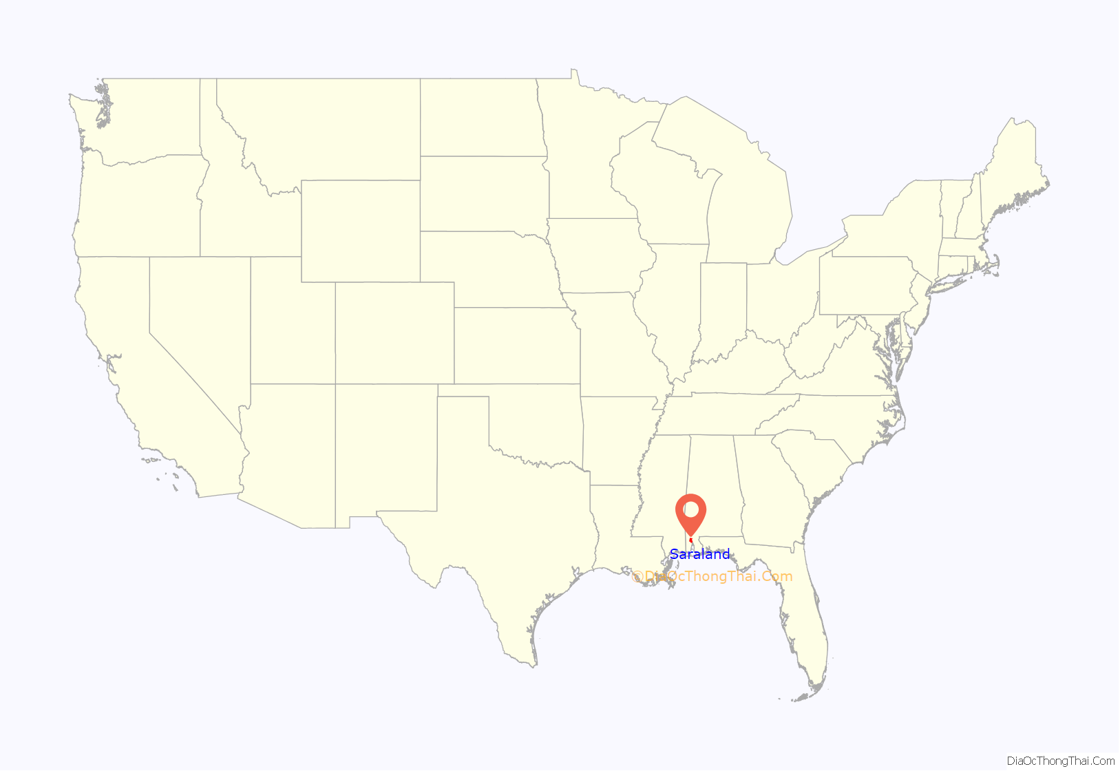
Saraland location map. Where is Saraland city?
History
The land area that was to become the present-day Saraland was included in a Spanish land grant to Don Diego Alvarez. Hence, descendants of Alvarez were the ones to give the community its first name: Alvarez Station. Later land squatters moved into the area and were able, legally, in 1800 to begin purchasing property. In 1807, a land office was opened in St. Stephens to handle all land transactions. Some of the pioneer families who seized the opportunity to buy up sections were named Alvarez, Rice, Hartley, Moore, LaCoste, Williams, Tool and Cleveland. Eventually, Alvarez Station was called Cleveland Station. The present name of the city is reported to have been given by C.J. DeWitt, a retired minister editor who moved south in 1890 for health reasons. He opened the first post office on the Southern Railroad in 1895. The community is purported to be the namesake of his beloved wife, Sara.
Saraland was sparsely populated during the first part of the 20th century, until an industrial and population boom occurred in neighboring Mobile. Northward expansion of Mobile in the 1940s and 50s brought about the incorporation of Saraland in 1957. At the time of incorporation, the city reported only 125 residents. By the 1960 U.S. Census, annexations had swelled the population to 4,595. In 1980, census figures cited 9,844 Saraland residents. As of the 2020 census, Saraland’s population had grown to 16,171.
The worst rail disaster in the history of Amtrak occurred just east of Saraland on Big Bayou Canot on September 22, 1993. At approximately 2:53 AM, Amtrak’s Sunset Limited train, powered by three locomotives, and en route from Los Angeles to Miami with 220 passengers and crew aboard, crossed the Bayou Canot bridge at high speed and derailed at a kink in the track caused by a barge captain who rammed the bridge by making a wrong turn in the waterway and failed to report the accident. 47 people, of whom 42 were passengers, were killed, many by drowning, others by fire. Much of the rescue efforts were average citizens of the community who journeyed out in the early morning hours in small fishing boats to help at the scene.
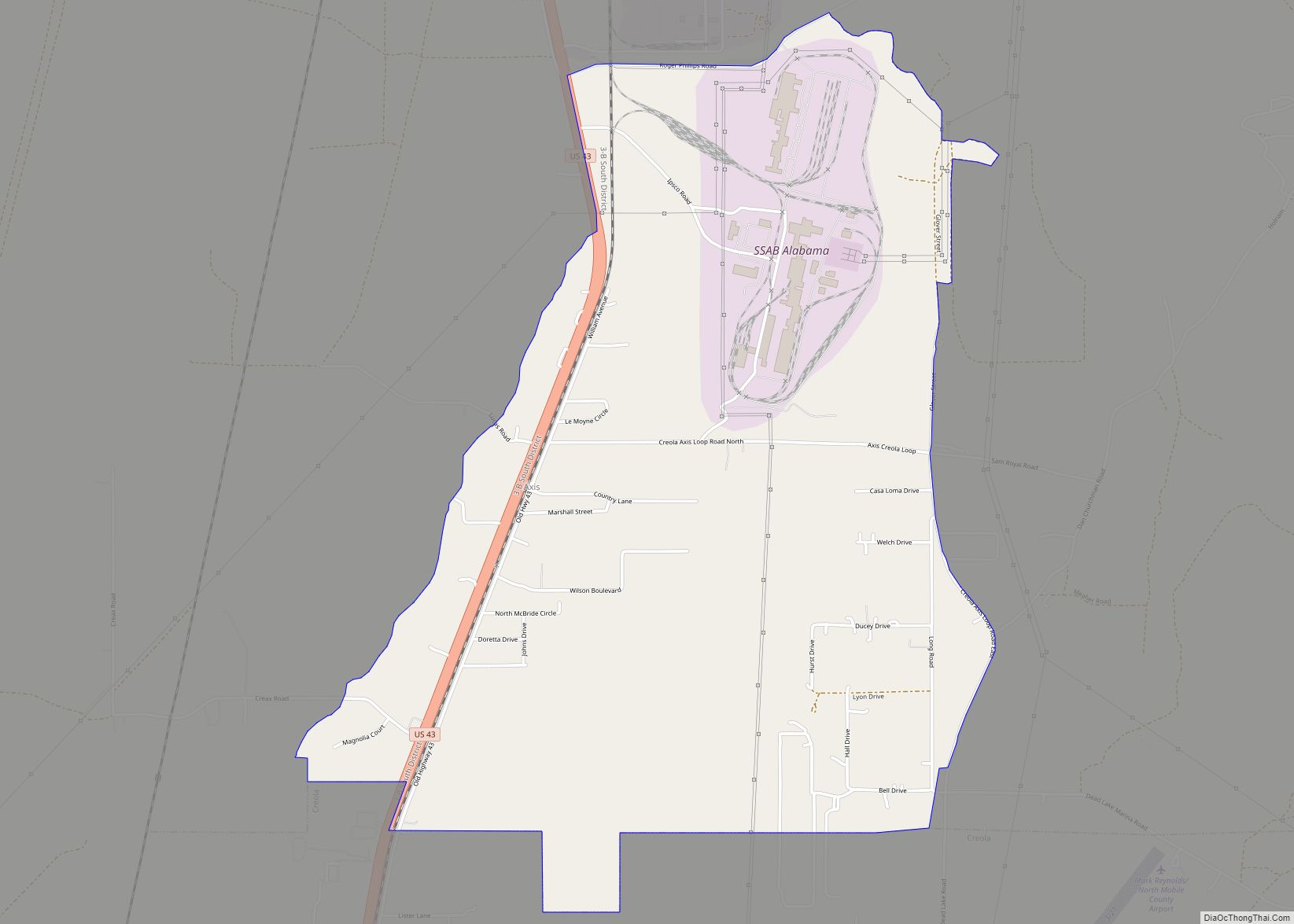
Saraland Road Map
Saraland city Satellite Map
Geography
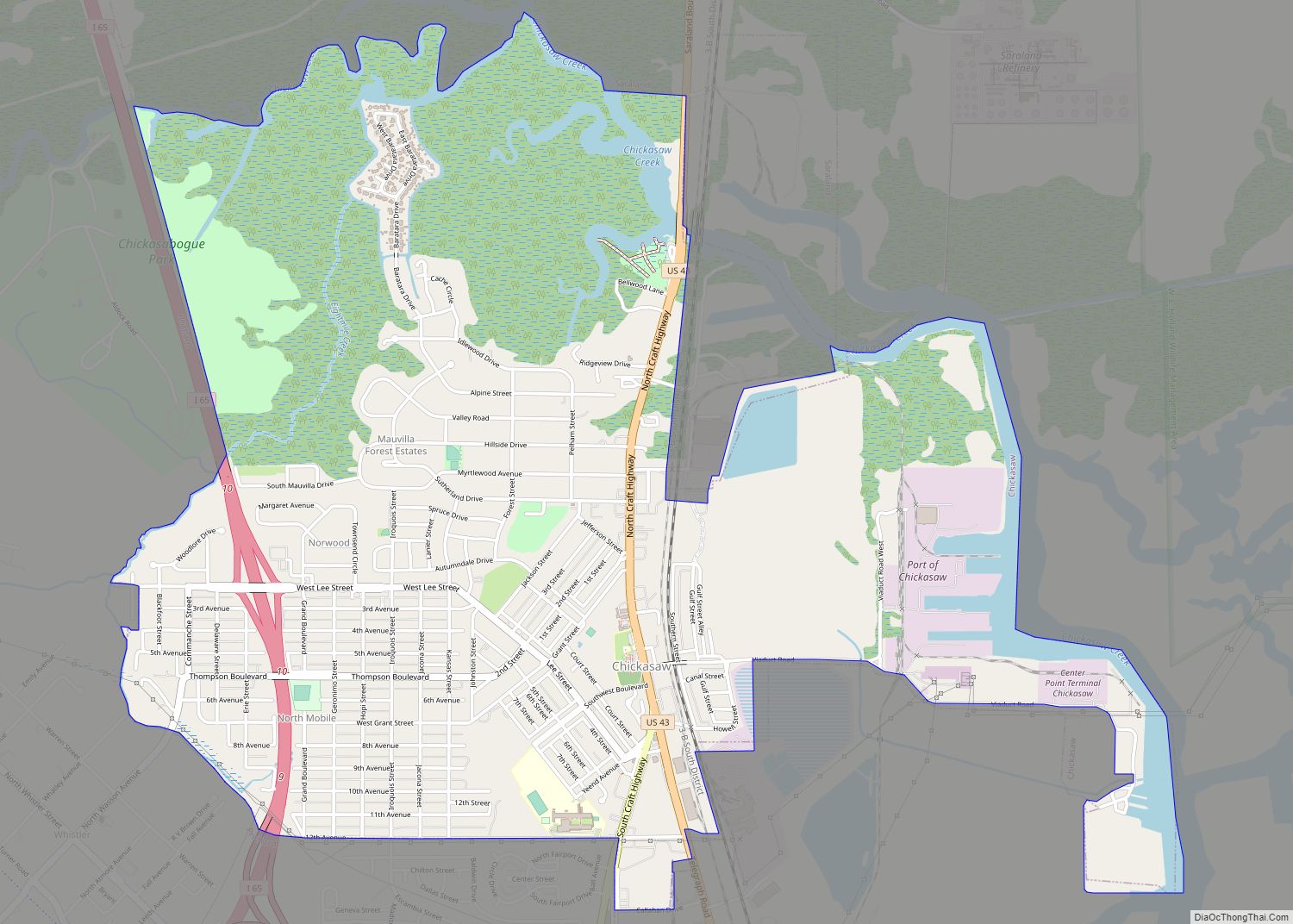
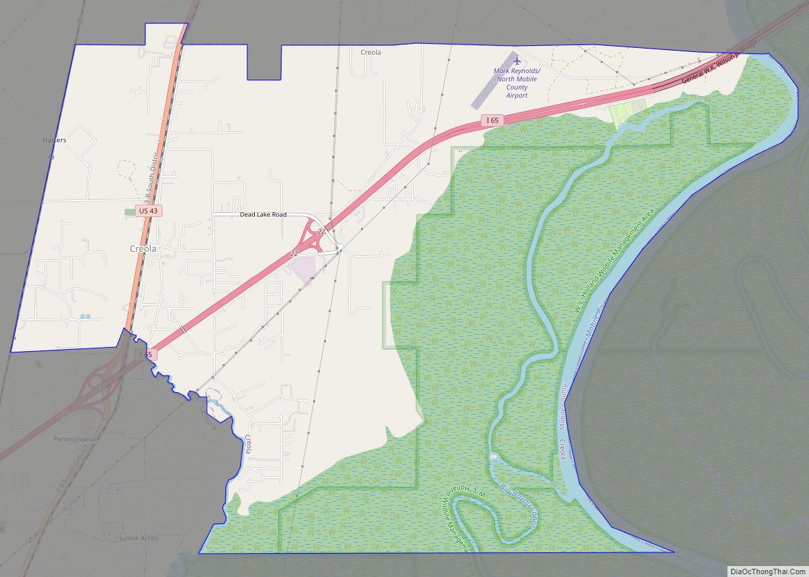
Saraland is located at 30°49′31″N 88°5′31″W / 30.82528°N 88.09194°W / 30.82528; -88.09194 (30.825186, -88.091932). It is bordered to the southwest by the city of Prichard, to the south by Chickasaw, to the east by the undeveloped northern end of Mobile, and to the northeast by Satsuma and Creola.
U.S. Route 43 (Saraland Boulevard) and Interstate 65 are the main north-south routes through Saraland. U.S. 43 leads south 9 miles (14 km) to downtown Mobile and north 55 miles (89 km) to Jackson, while I-65 leads south 15 miles (24 km) to its terminus at Interstate 10 in southwestern Mobile, and northeast 157 miles (253 km) to Montgomery, the state capital.
According to the U.S. Census Bureau, Saraland has a total area of 32.4 square miles (84 km), of which 0.32 square miles (0.83 km), or 0.68%, are water. The city is drained by Bayou Sara, an east-flowing tributary of the Mobile River.
See also
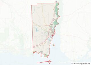
Map of Alabama State and its subdivision:- Autauga
- Baldwin
- Barbour
- Bibb
- Blount
- Bullock
- Butler
- Calhoun
- Chambers
- Cherokee
- Chilton
- Choctaw
- Clarke
- Clay
- Cleburne
- Coffee
- Colbert
- Conecuh
- Coosa
- Covington
- Crenshaw
- Cullman
- Dale
- Dallas
- De Kalb
- Elmore
- Escambia
- Etowah
- Fayette
- Franklin
- Geneva
- Greene
- Hale
- Henry
- Houston
- Jackson
- Jefferson
- Lamar
- Lauderdale
- Lawrence
- Lee
- Limestone
- Lowndes
- Macon
- Madison
- Marengo
- Marion
- Marshall
- Mobile
- Monroe
- Montgomery
- Morgan
- Perry
- Pickens
- Pike
- Randolph
- Russell
- Saint Clair
- Shelby
- Sumter
- Talladega
- Tallapoosa
- Tuscaloosa
- Walker
- Washington
- Wilcox
- Winston
- Alabama
- Alaska
- Arizona
- Arkansas
- California
- Colorado
- Connecticut
- Delaware
- District of Columbia
- Florida
- Georgia
- Hawaii
- Idaho
- Illinois
- Indiana
- Iowa
- Kansas
- Kentucky
- Louisiana
- Maine
- Maryland
- Massachusetts
- Michigan
- Minnesota
- Mississippi
- Missouri
- Montana
- Nebraska
- Nevada
- New Hampshire
- New Jersey
- New Mexico
- New York
- North Carolina
- North Dakota
- Ohio
- Oklahoma
- Oregon
- Pennsylvania
- Rhode Island
- South Carolina
- South Dakota
- Tennessee
- Texas
- Utah
- Vermont
- Virginia
- Washington
- West Virginia
- Wisconsin
- Wyoming
