Silverhill is a town in Baldwin County, Alabama, United States. As of the 2010 census, the population was 706. It is part of the Daphne-Fairhope-Foley metropolitan area.
| Name: | Silverhill town |
|---|---|
| LSAD Code: | 43 |
| LSAD Description: | town (suffix) |
| State: | Alabama |
| County: | Baldwin County |
| Elevation: | 141 ft (43 m) |
| Total Area: | 1.26 sq mi (3.26 km²) |
| Land Area: | 1.26 sq mi (3.25 km²) |
| Water Area: | 0.00 sq mi (0.01 km²) |
| Total Population: | 768 |
| Population Density: | 611.46/sq mi (236.15/km²) |
| ZIP code: | 36576 |
| Area code: | 251 |
| FIPS code: | 0170536 |
| GNISfeature ID: | 0126858 |
| Website: | www.silverhillalabama.com |
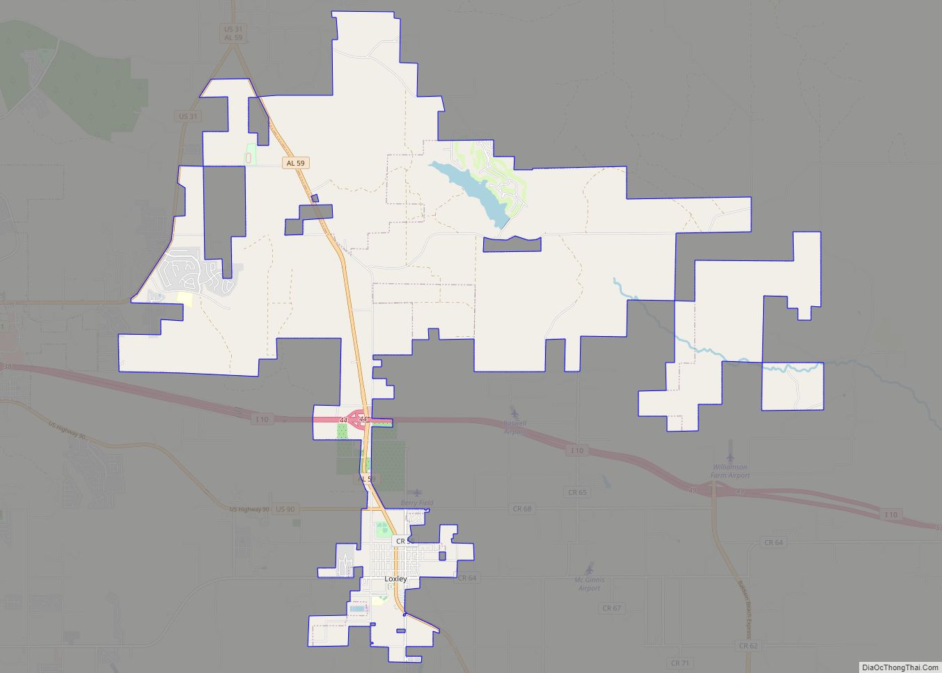
Online Interactive Map
Click on ![]() to view map in "full screen" mode.
to view map in "full screen" mode.
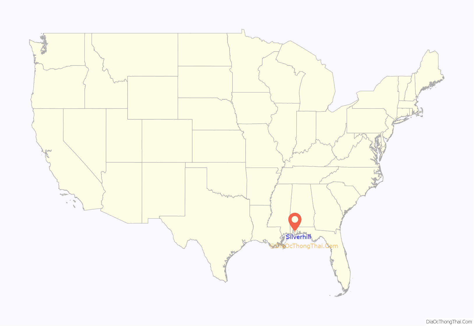
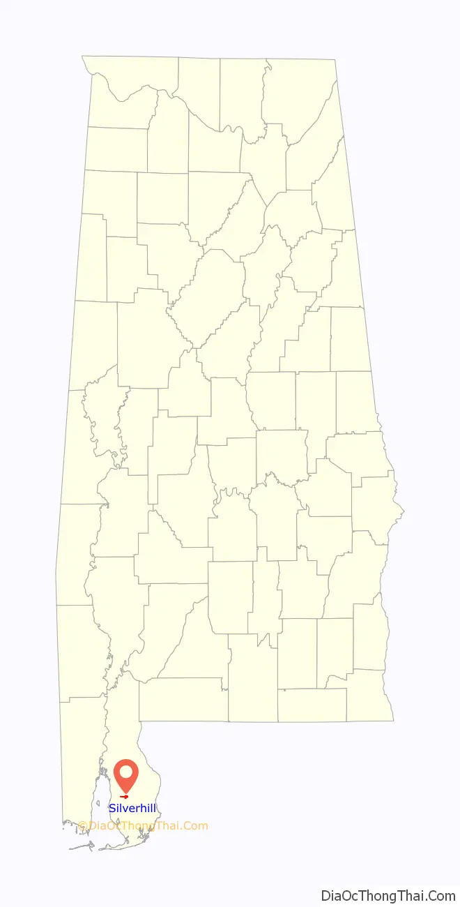
Silverhill location map. Where is Silverhill town?
History
Silverhill was founded in 1897 by Oscar Johnson, C. O. Carlson and C. A. Valentin of Chicago, Illinois. Oscar Johnson was an immigrant from Dalarna, Sweden. The Svea Land Company in Chicago, which advertised land for sale in Silverhill, was founded by Oscar Johnson. Land was acquired by purchase from a Mr. Harford, the first block of land being 1,500 acres (610 ha), which was added to from time to time as the colonization work progressed. Scandinavian settlers came to Silverhill from virtually every state in the Union and began the development of what is now the Silverhill district.
The Wales West Light Railway, a replica of a Welsh mountain railway, is located 5 miles (8 km) southwest of town.
Silverhill Road Map
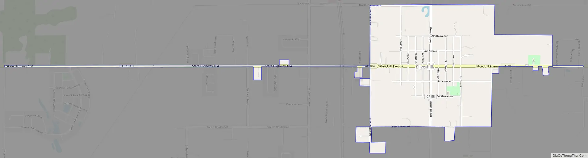
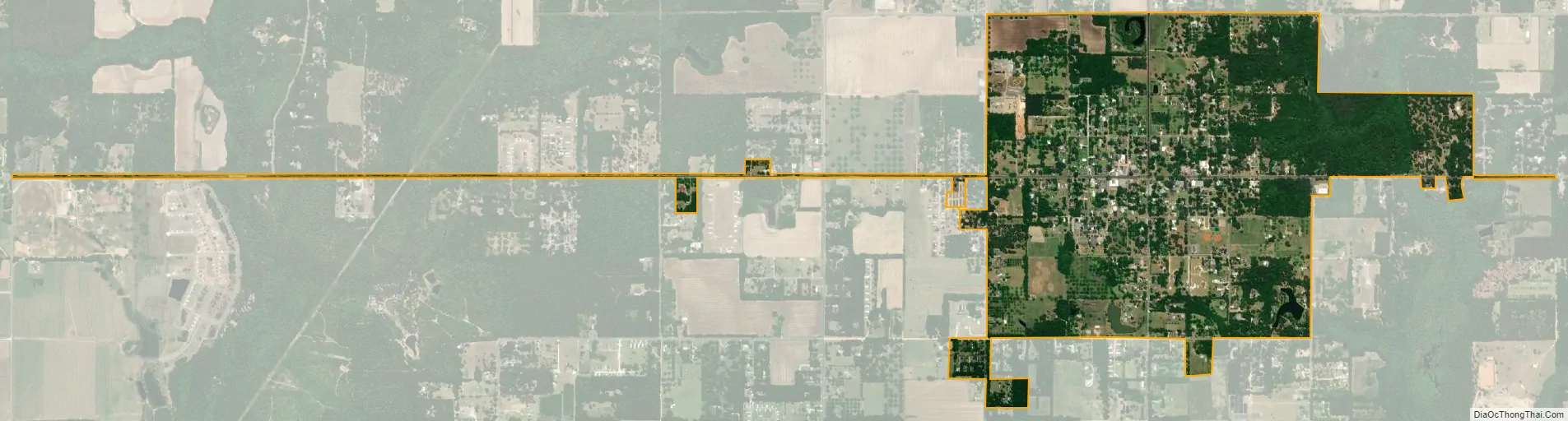
Silverhill city Satellite Map
Geography
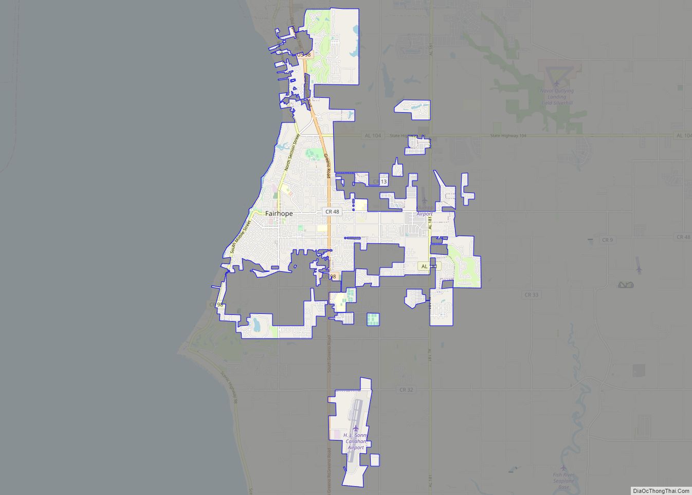
Silverhill is located in southern Baldwin County at 30°32’42.950″ North, 87°45’1.861″ West (30.545264, -87.750517), 3 miles (5 km) west of Robertsdale. Alabama State Route 104 (Silverhill Avenue) runs through the center of the town, connecting Robertsdale to the east with Fairhope to the west.
According to the U.S. Census Bureau, the town has a total area of 1.2 square miles (3.1 km), all land.
See also
Map of Alabama State and its subdivision:- Autauga
- Baldwin
- Barbour
- Bibb
- Blount
- Bullock
- Butler
- Calhoun
- Chambers
- Cherokee
- Chilton
- Choctaw
- Clarke
- Clay
- Cleburne
- Coffee
- Colbert
- Conecuh
- Coosa
- Covington
- Crenshaw
- Cullman
- Dale
- Dallas
- De Kalb
- Elmore
- Escambia
- Etowah
- Fayette
- Franklin
- Geneva
- Greene
- Hale
- Henry
- Houston
- Jackson
- Jefferson
- Lamar
- Lauderdale
- Lawrence
- Lee
- Limestone
- Lowndes
- Macon
- Madison
- Marengo
- Marion
- Marshall
- Mobile
- Monroe
- Montgomery
- Morgan
- Perry
- Pickens
- Pike
- Randolph
- Russell
- Saint Clair
- Shelby
- Sumter
- Talladega
- Tallapoosa
- Tuscaloosa
- Walker
- Washington
- Wilcox
- Winston
- Alabama
- Alaska
- Arizona
- Arkansas
- California
- Colorado
- Connecticut
- Delaware
- District of Columbia
- Florida
- Georgia
- Hawaii
- Idaho
- Illinois
- Indiana
- Iowa
- Kansas
- Kentucky
- Louisiana
- Maine
- Maryland
- Massachusetts
- Michigan
- Minnesota
- Mississippi
- Missouri
- Montana
- Nebraska
- Nevada
- New Hampshire
- New Jersey
- New Mexico
- New York
- North Carolina
- North Dakota
- Ohio
- Oklahoma
- Oregon
- Pennsylvania
- Rhode Island
- South Carolina
- South Dakota
- Tennessee
- Texas
- Utah
- Vermont
- Virginia
- Washington
- West Virginia
- Wisconsin
- Wyoming