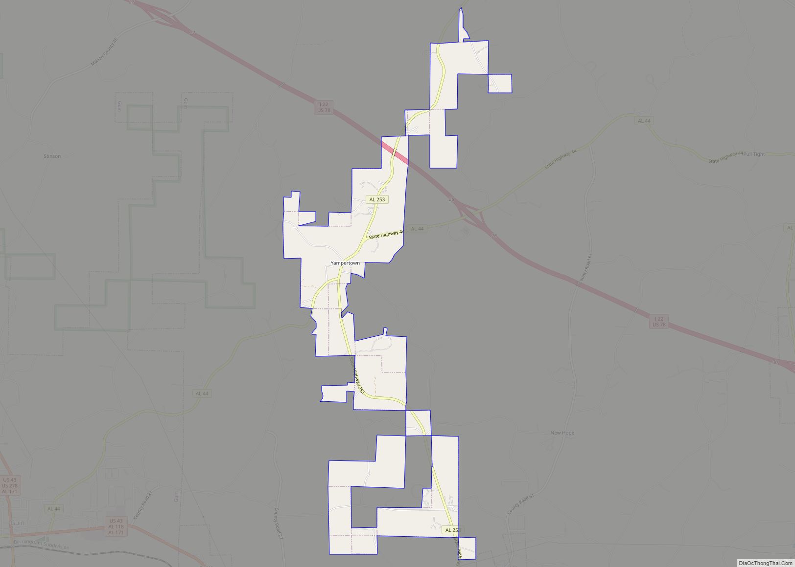
Twin, also known as Yampertown, is a town in Marion County, Alabama, United States. It is about equidistant from Brilliant, Guin and Winfield. It incorporated on August 6, 2002, becoming the 10th incorporated community in Marion County. It had a population of 359 as of the 2020 census.
| Name: | Twin town |
|---|---|
| LSAD Code: | 43 |
| LSAD Description: | town (suffix) |
| State: | Alabama |
| County: | Marion County |
| Elevation: | 594 ft (181 m) |
| Total Area: | 3.38 sq mi (8.8 km²) |
| Land Area: | 3.38 sq mi (8.8 km²) |
| Water Area: | 0.00 sq mi (0.0 km²) |
| Total Population: | 359 |
| Population Density: | 106.21/sq mi (41.01/km²) |
| ZIP code: | 35563 |
| Area code: | 205, 659 |
| FIPS code: | 0177352 |
| GNISfeature ID: | 2380589 |
Online Interactive Map
Click on ![]() to view map in "full screen" mode.
to view map in "full screen" mode.
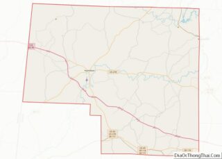
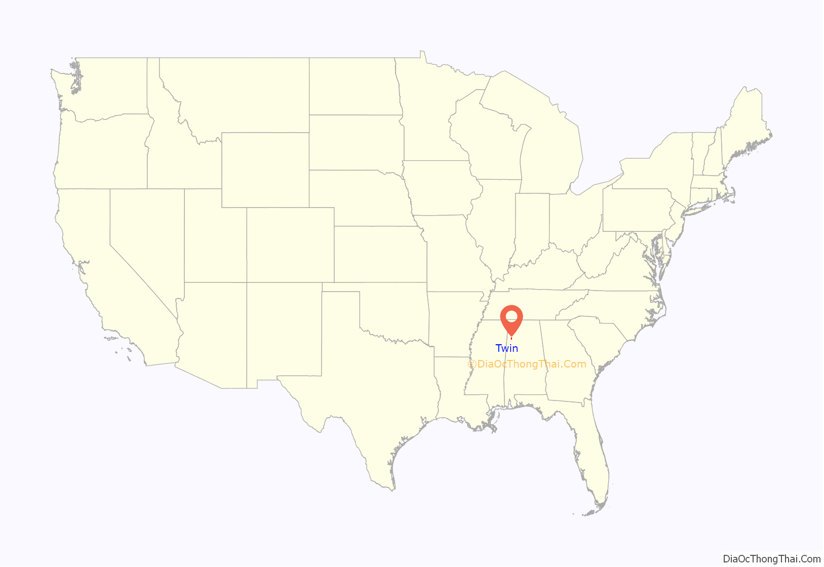
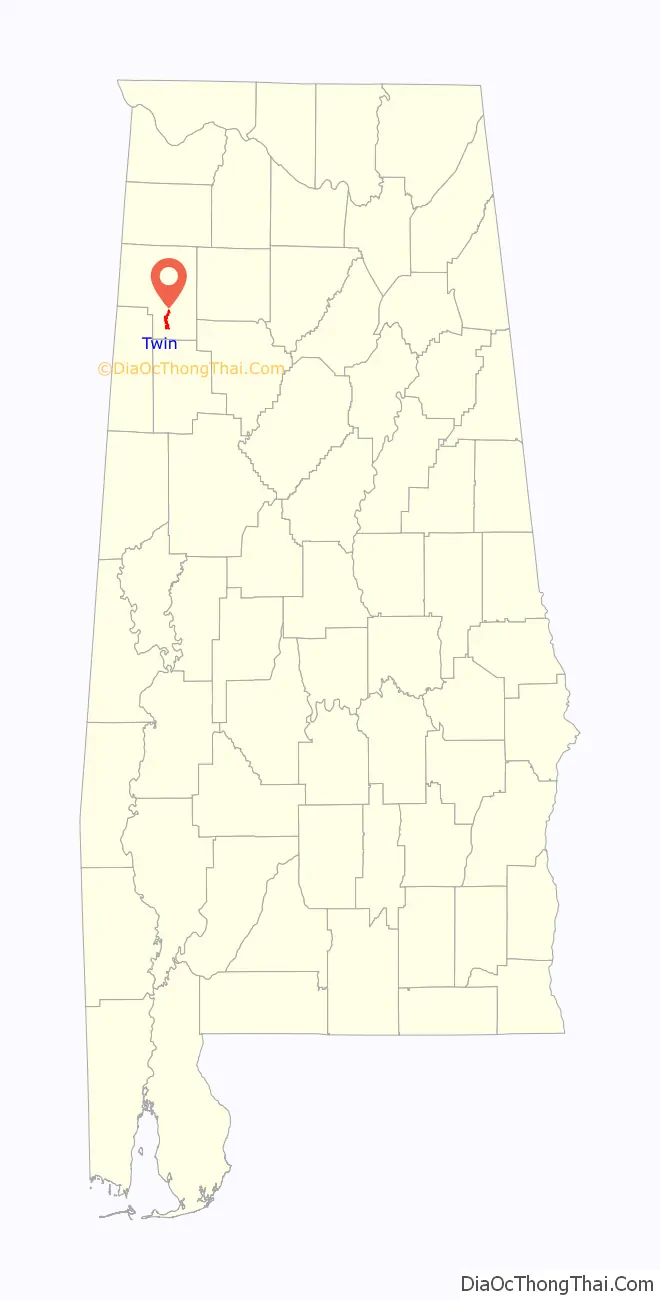
Twin location map. Where is Twin town?
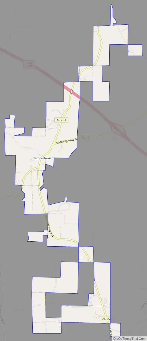
Twin Road Map
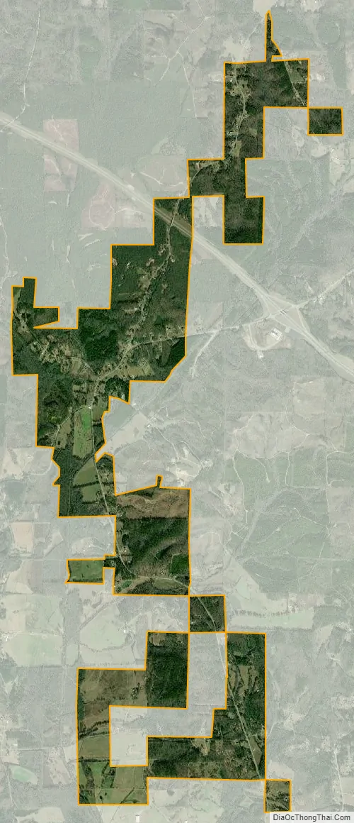
Twin city Satellite Map
Geography
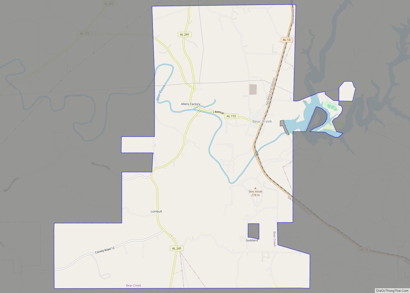
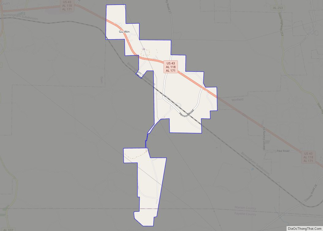
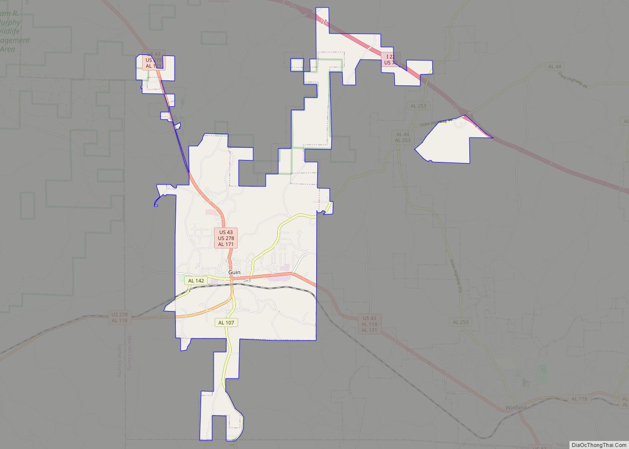
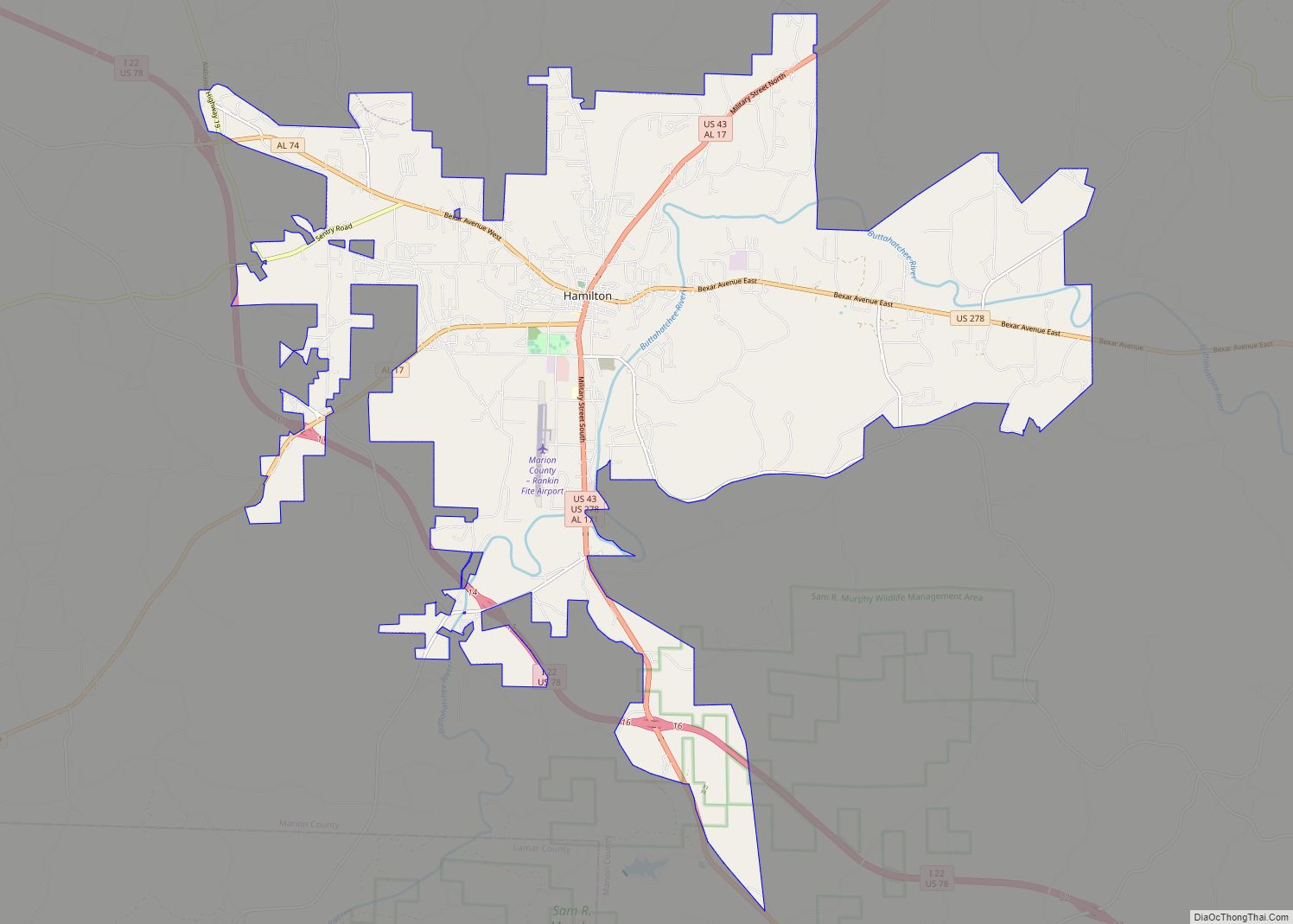
Twin is in southern Marion County, bordered to the west and east by the city of Guin. I-22/US 78 passes through the town, with access from exit 26 (SR 44). Hamilton, the Marion county seat, is 16 miles (26 km) to the northwest, and Jasper is 38 miles (61 km) to the southeast. SR 44 leads east 6 miles (10 km) to Brilliant and southwest 5 miles (8 km) to Guin, while SR 253 leads southeast 6 miles (9.7 km) to Winfield and north 25 miles (40 km) to Haacleburg.
According to the U.S. Census Bureau, the town of Twin has an area of 3.38 square miles (8.8 km), all of it recorded as land. Yampertown, the town center, is in the valley of Luxapallila Creek where it is joined by Cooper Creek. The Luxapallila is a southwest-flowing tributary of the Tombigbee River.
See also
Map of Alabama State and its subdivision:- Autauga
- Baldwin
- Barbour
- Bibb
- Blount
- Bullock
- Butler
- Calhoun
- Chambers
- Cherokee
- Chilton
- Choctaw
- Clarke
- Clay
- Cleburne
- Coffee
- Colbert
- Conecuh
- Coosa
- Covington
- Crenshaw
- Cullman
- Dale
- Dallas
- De Kalb
- Elmore
- Escambia
- Etowah
- Fayette
- Franklin
- Geneva
- Greene
- Hale
- Henry
- Houston
- Jackson
- Jefferson
- Lamar
- Lauderdale
- Lawrence
- Lee
- Limestone
- Lowndes
- Macon
- Madison
- Marengo
- Marion
- Marshall
- Mobile
- Monroe
- Montgomery
- Morgan
- Perry
- Pickens
- Pike
- Randolph
- Russell
- Saint Clair
- Shelby
- Sumter
- Talladega
- Tallapoosa
- Tuscaloosa
- Walker
- Washington
- Wilcox
- Winston
- Alabama
- Alaska
- Arizona
- Arkansas
- California
- Colorado
- Connecticut
- Delaware
- District of Columbia
- Florida
- Georgia
- Hawaii
- Idaho
- Illinois
- Indiana
- Iowa
- Kansas
- Kentucky
- Louisiana
- Maine
- Maryland
- Massachusetts
- Michigan
- Minnesota
- Mississippi
- Missouri
- Montana
- Nebraska
- Nevada
- New Hampshire
- New Jersey
- New Mexico
- New York
- North Carolina
- North Dakota
- Ohio
- Oklahoma
- Oregon
- Pennsylvania
- Rhode Island
- South Carolina
- South Dakota
- Tennessee
- Texas
- Utah
- Vermont
- Virginia
- Washington
- West Virginia
- Wisconsin
- Wyoming