Walnut Grove is a town in Etowah County, Alabama, United States. It is part of the Gadsden Metropolitan Statistical Area. At the 2010 census the population was 698 (is much larger than census reports as most do not fill out the census reports in the area and most have an Altoona mailing address as well. ) . From 1880 until the 1960 U.S. Census, with the exclusion of 1890 when no figure was reported, Walnut Grove had the distinction of being the least populated community wholly within Etowah County. It lost that distinction in 1970 to newly incorporated Ridgeville which has held the title since.
| Name: | Walnut Grove town |
|---|---|
| LSAD Code: | 43 |
| LSAD Description: | town (suffix) |
| State: | Alabama |
| County: | Etowah County |
| Elevation: | 840 ft (260 m) |
| Total Area: | 5.04 sq mi (13.05 km²) |
| Land Area: | 5.03 sq mi (13.02 km²) |
| Water Area: | 0.01 sq mi (0.03 km²) |
| Total Population: | 773 |
| Population Density: | 153.77/sq mi (59.37/km²) |
| ZIP code: | 35990 |
| Area code: | 205, 659 |
| FIPS code: | 0179728 |
| GNISfeature ID: | 2406827 |
Online Interactive Map
Click on ![]() to view map in "full screen" mode.
to view map in "full screen" mode.
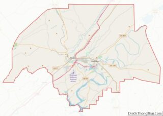
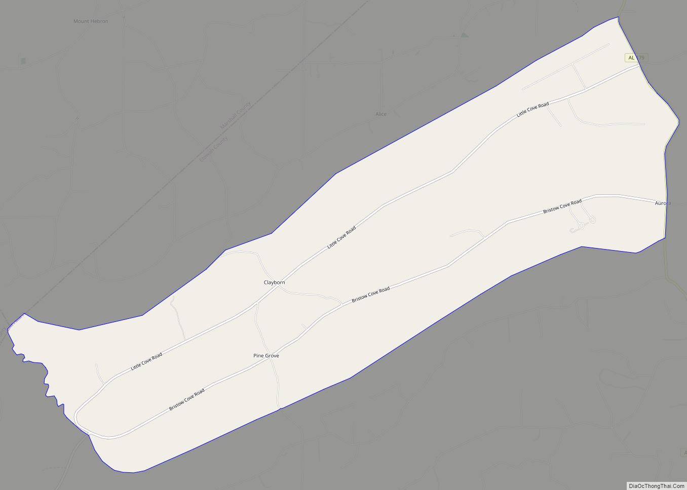
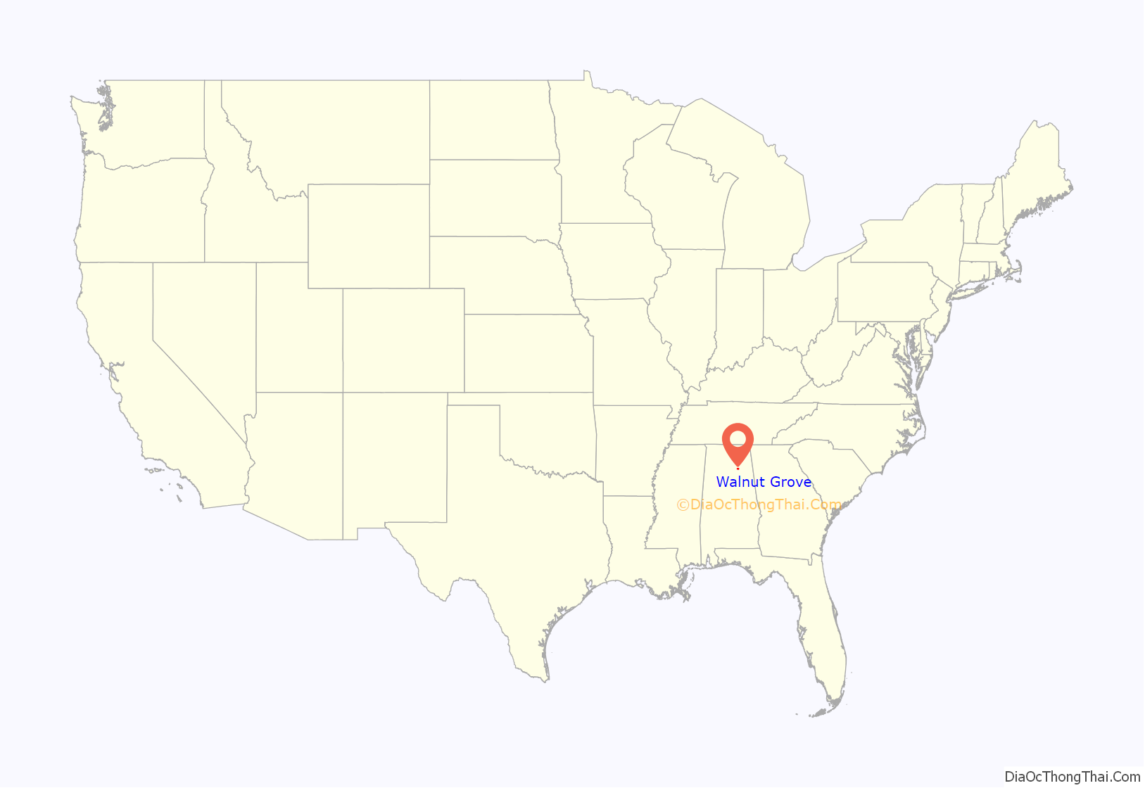
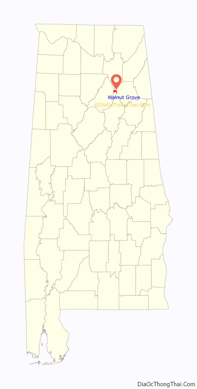
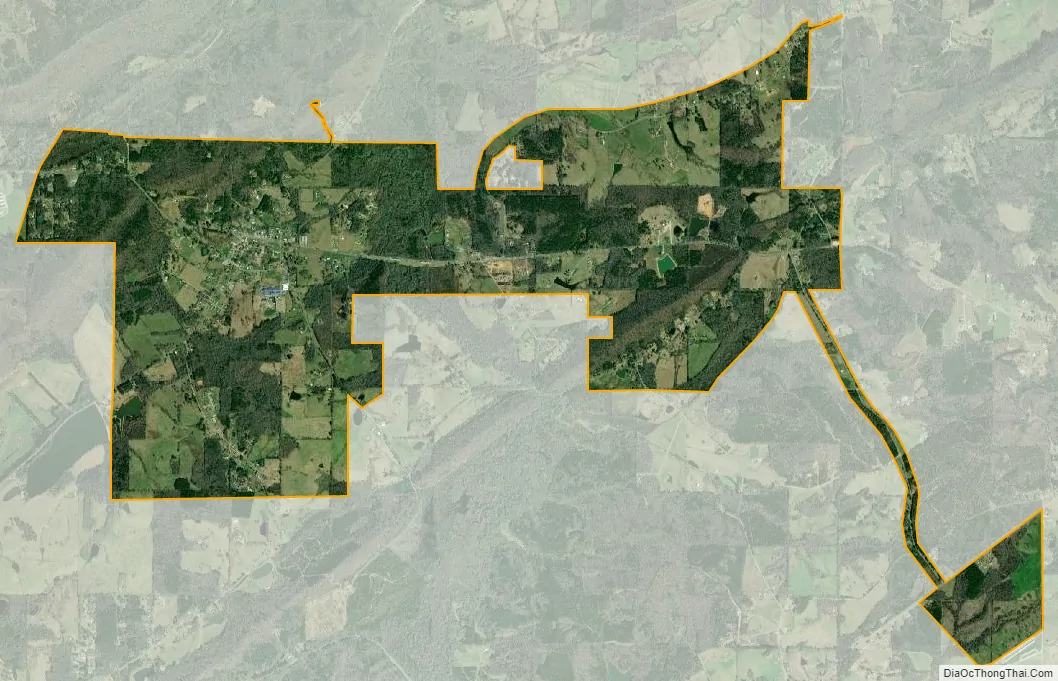
Walnut Grove location map. Where is Walnut Grove town?
History
Walnut Grove was part of Blount County before it was included in Baine County (now Etowah) in 1866. Walnut Grove was settled by the Battles family in 1813, the Morton family, and the Carnes family (namesake of the Carnes Chapel area near the ghost town of Bennettsville off of US 278) in 1823. Around 1825, the town was known as “Thomas Crossroads”, after landowner Jordan D. Thomas. In 1848, the town was named “Cornelius”, after postmaster Harvey Cornelius. In 1849, it was renamed “Walnut Grove”.
Walnut Grove was burned during the Civil War.
The first college preparatory school for males and females in northeast Alabama was established by act of Legislature in 1884. The Walnut Grove College ran for 15 years, and during the college’s peak the town had grown to have 13 stores, including a drug store with a soda fountain. The Walnut Grove College closed in 1899 as high schools were being established in Etowah County.
The town was incorporated in 1886, with Colonel W.T Murphree as the first mayor.
In 1917, the finest grade of magnesium was discovered near Silver Gap at Red Mountain, at the western edge of town. The magnesium was mined and refined by Bessemer Mills in Birmingham and Eastman Corporation in Kingsport, Tennessee, in the 1930s and 1940s.
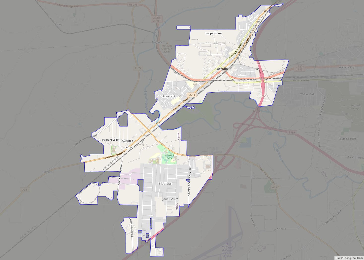
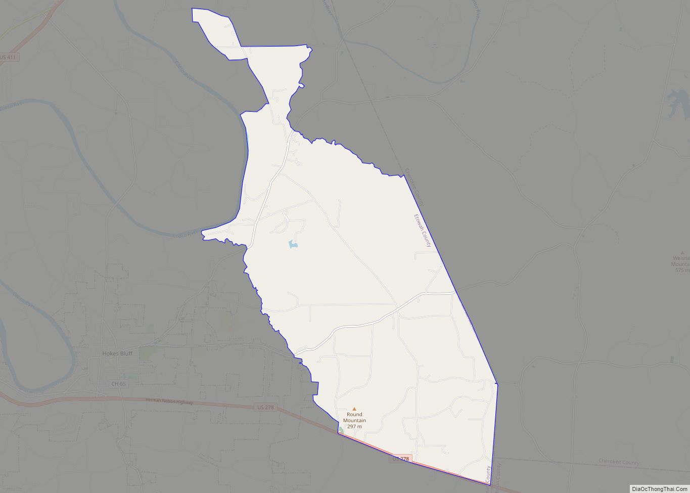
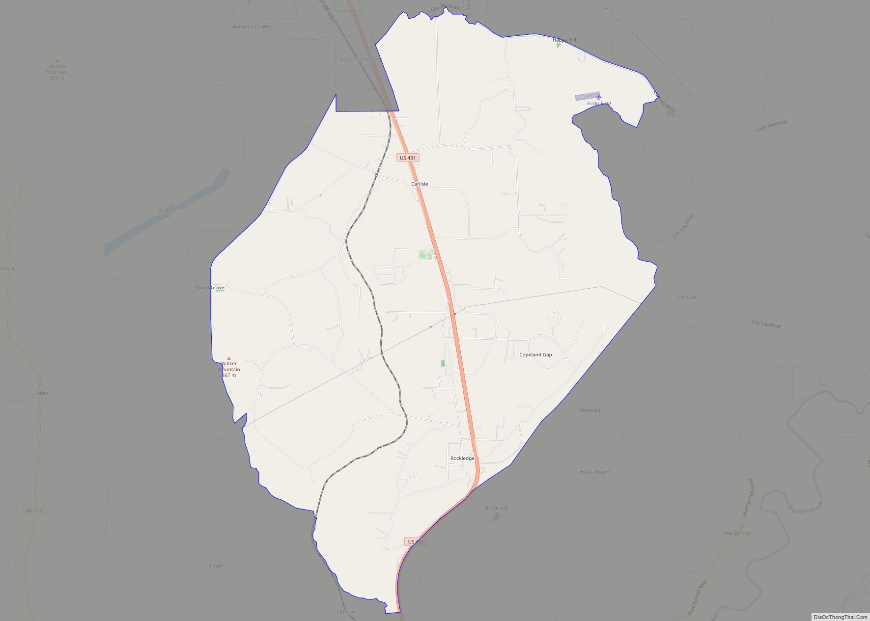
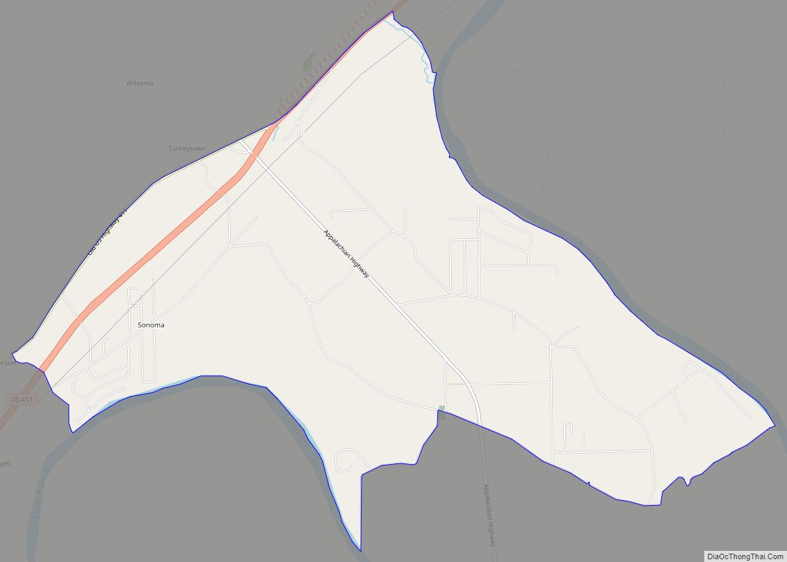
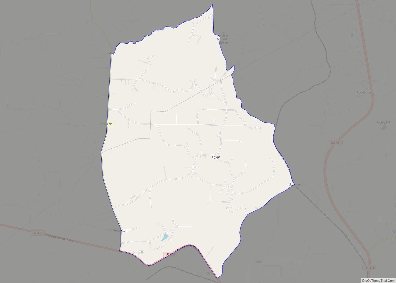
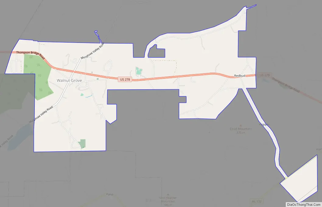
Walnut Grove Road Map
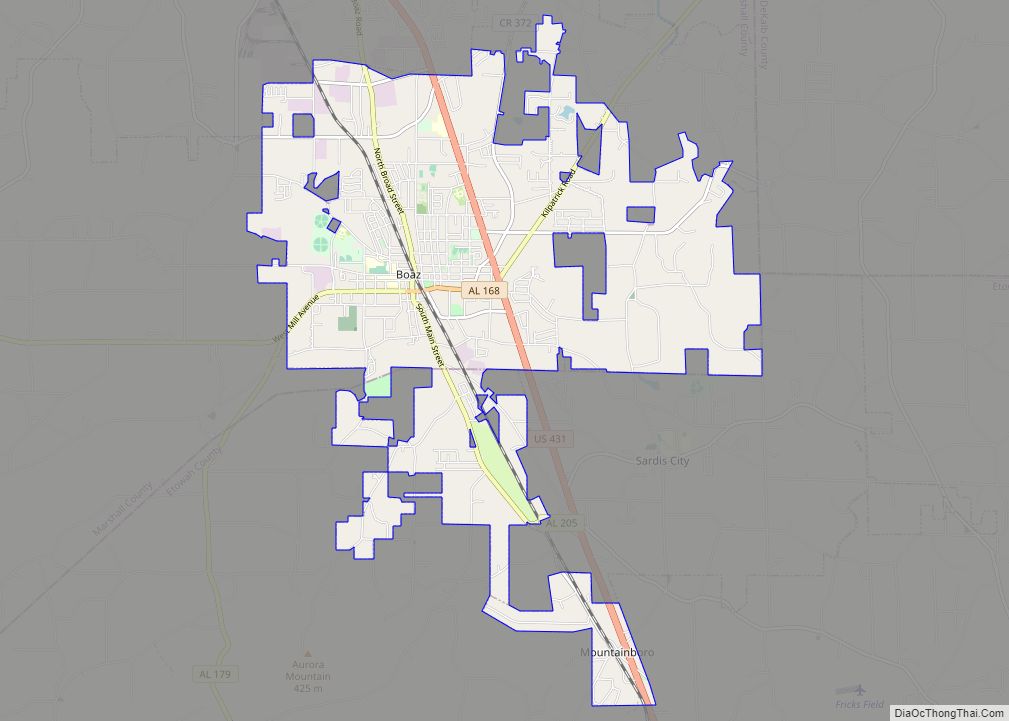
Walnut Grove city Satellite Map
Geography
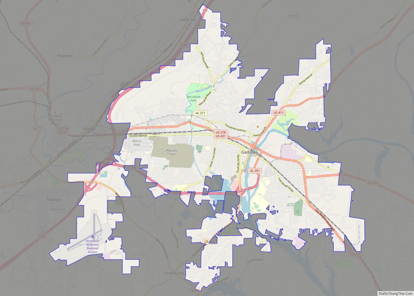
Walnut Grove is located in western Etowah County at 34°03′50″N 86°16′45″W / 34.063983°N 86.279254°W / 34.063983; -86.279254. It is bordered to the south by the town of Altoona and to the west by Blount County. U.S. Route 278 passes through the town, leading east 19 miles (31 km) to Gadsden, the Etowah County seat, and west 33 miles (53 km) to Cullman.
According to the U.S. Census Bureau, Walnut Grove has a total area of 5.0 square miles (13.0 km), of which 0.01 square miles (0.03 km), or 0.24%, is water.
See also
Map of Alabama State and its subdivision:- Autauga
- Baldwin
- Barbour
- Bibb
- Blount
- Bullock
- Butler
- Calhoun
- Chambers
- Cherokee
- Chilton
- Choctaw
- Clarke
- Clay
- Cleburne
- Coffee
- Colbert
- Conecuh
- Coosa
- Covington
- Crenshaw
- Cullman
- Dale
- Dallas
- De Kalb
- Elmore
- Escambia
- Etowah
- Fayette
- Franklin
- Geneva
- Greene
- Hale
- Henry
- Houston
- Jackson
- Jefferson
- Lamar
- Lauderdale
- Lawrence
- Lee
- Limestone
- Lowndes
- Macon
- Madison
- Marengo
- Marion
- Marshall
- Mobile
- Monroe
- Montgomery
- Morgan
- Perry
- Pickens
- Pike
- Randolph
- Russell
- Saint Clair
- Shelby
- Sumter
- Talladega
- Tallapoosa
- Tuscaloosa
- Walker
- Washington
- Wilcox
- Winston
- Alabama
- Alaska
- Arizona
- Arkansas
- California
- Colorado
- Connecticut
- Delaware
- District of Columbia
- Florida
- Georgia
- Hawaii
- Idaho
- Illinois
- Indiana
- Iowa
- Kansas
- Kentucky
- Louisiana
- Maine
- Maryland
- Massachusetts
- Michigan
- Minnesota
- Mississippi
- Missouri
- Montana
- Nebraska
- Nevada
- New Hampshire
- New Jersey
- New Mexico
- New York
- North Carolina
- North Dakota
- Ohio
- Oklahoma
- Oregon
- Pennsylvania
- Rhode Island
- South Carolina
- South Dakota
- Tennessee
- Texas
- Utah
- Vermont
- Virginia
- Washington
- West Virginia
- Wisconsin
- Wyoming