West End-Cobb Town is a census-designated place (CDP) and unincorporated community in Calhoun County, Alabama, United States. At the 2020 census, the population was 3,128. It is included in the Anniston-Oxford Metropolitan Statistical Area.
| Name: | West End-Cobb Town CDP |
|---|---|
| LSAD Code: | 57 |
| LSAD Description: | CDP (suffix) |
| State: | Alabama |
| County: | Calhoun County |
| Total Area: | 4.12 sq mi (10.68 km²) |
| Land Area: | 4.12 sq mi (10.67 km²) |
| Water Area: | 0.00 sq mi (0.01 km²) |
| Total Population: | 3,128 |
| Population Density: | 759.22/sq mi (293.13/km²) |
| ZIP code: | 36201 |
| Area code: | 256 and 938 |
| FIPS code: | 0181084 |
Online Interactive Map
Click on ![]() to view map in "full screen" mode.
to view map in "full screen" mode.
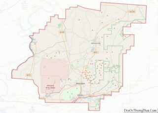
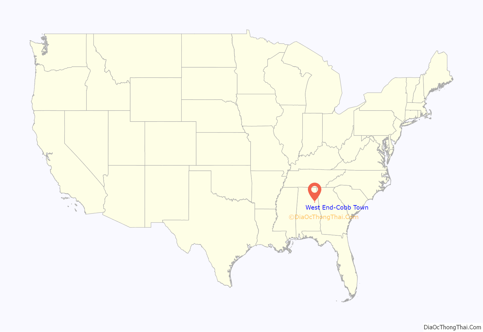
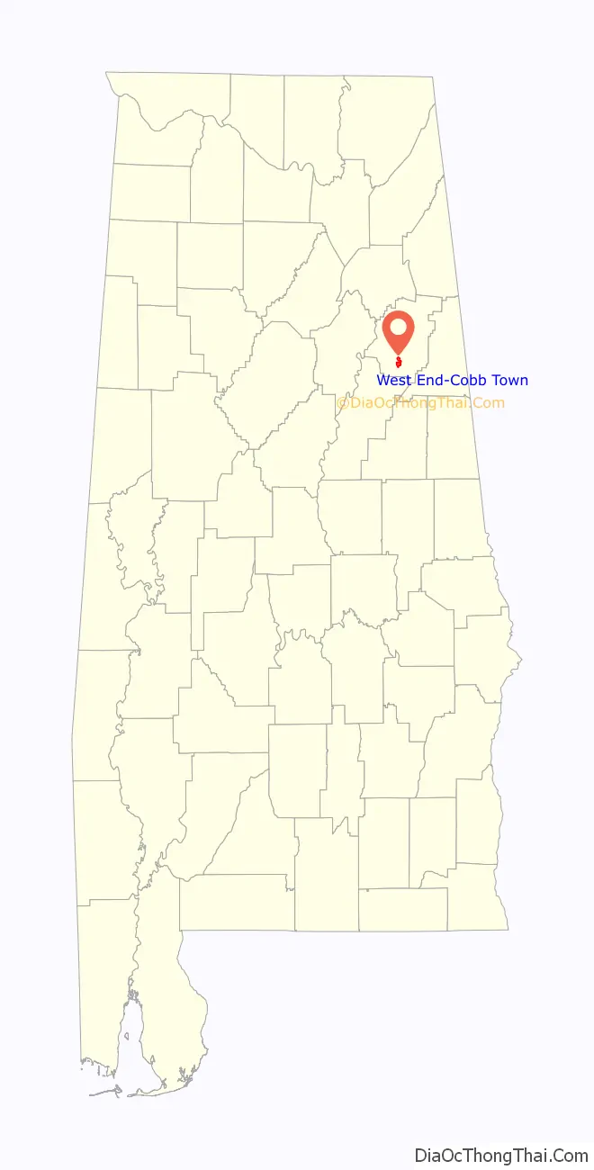
West End-Cobb Town location map. Where is West End-Cobb Town CDP?
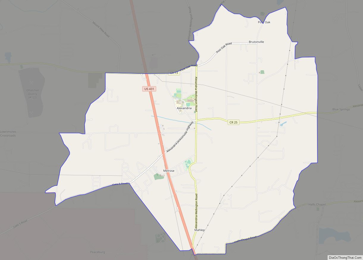
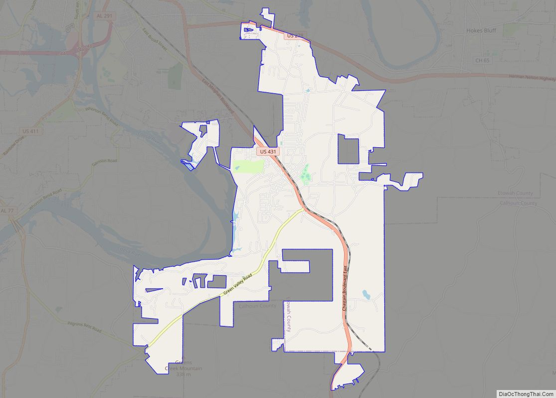
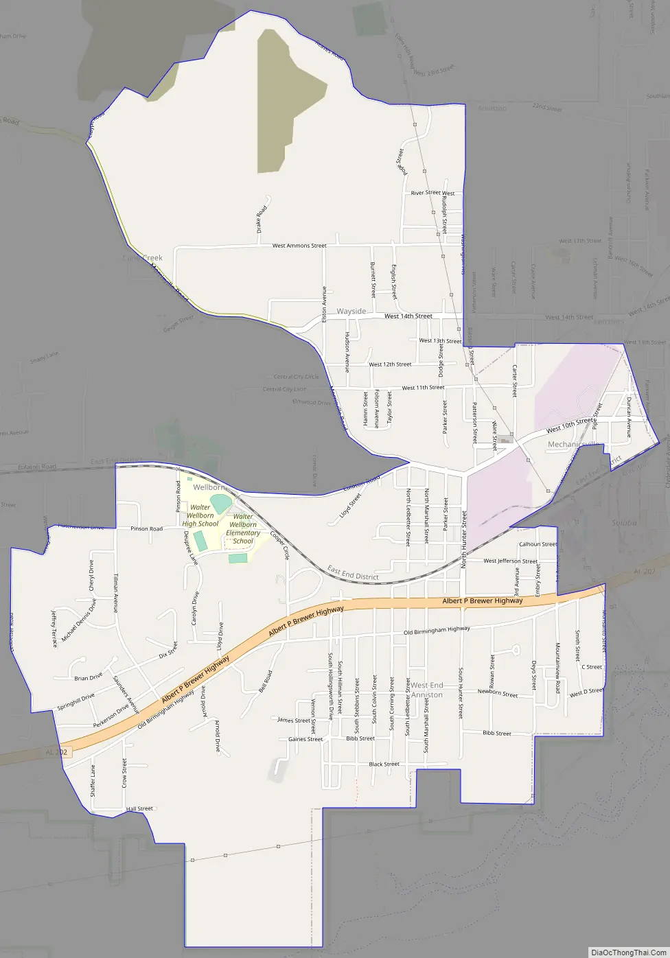
West End-Cobb Town Road Map
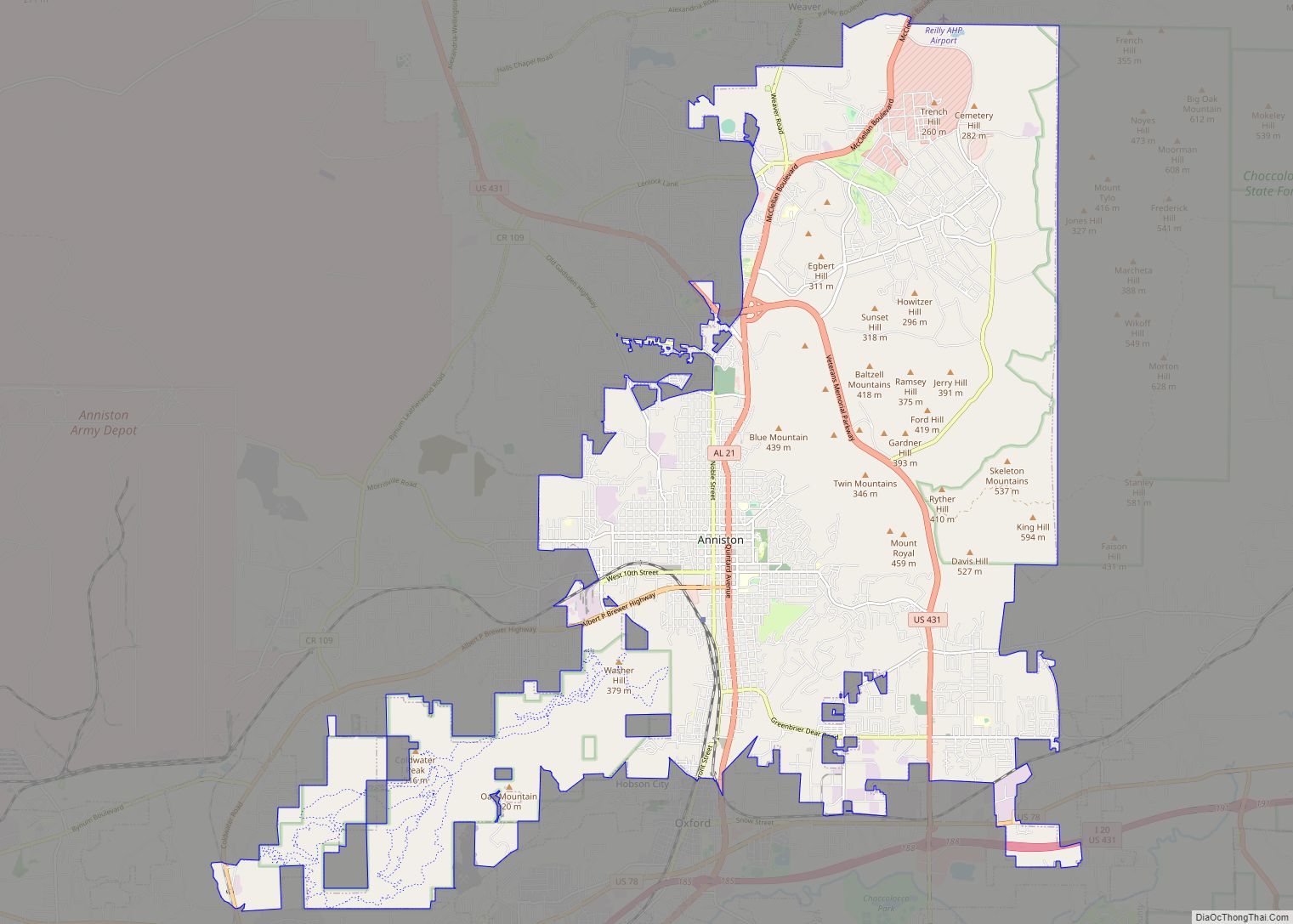
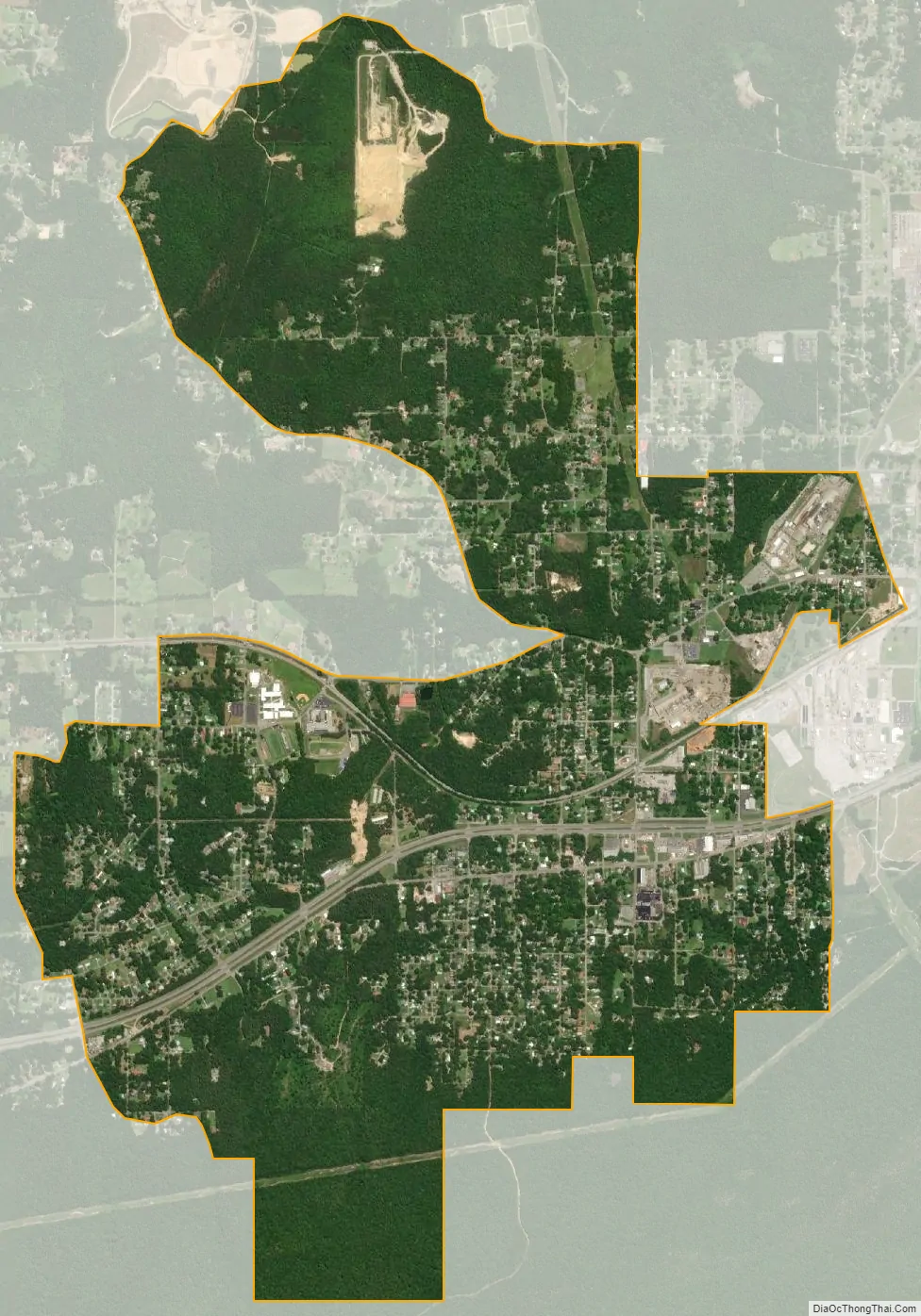
West End-Cobb Town city Satellite Map
Geography
West End-Cobb Town is located in southern Calhoun County at 33°39′3″N 85°52′10″W / 33.65083°N 85.86944°W / 33.65083; -85.86944 (33.650903, -85.869487). It is bordered to the east and south by the city of Anniston.
According to the U.S. Census Bureau, the CDP has a total area of 4.15 square miles (10.75 km), of which 0.004 square miles (0.01 km), or 0.06%, is water.
See also
Map of Alabama State and its subdivision:- Autauga
- Baldwin
- Barbour
- Bibb
- Blount
- Bullock
- Butler
- Calhoun
- Chambers
- Cherokee
- Chilton
- Choctaw
- Clarke
- Clay
- Cleburne
- Coffee
- Colbert
- Conecuh
- Coosa
- Covington
- Crenshaw
- Cullman
- Dale
- Dallas
- De Kalb
- Elmore
- Escambia
- Etowah
- Fayette
- Franklin
- Geneva
- Greene
- Hale
- Henry
- Houston
- Jackson
- Jefferson
- Lamar
- Lauderdale
- Lawrence
- Lee
- Limestone
- Lowndes
- Macon
- Madison
- Marengo
- Marion
- Marshall
- Mobile
- Monroe
- Montgomery
- Morgan
- Perry
- Pickens
- Pike
- Randolph
- Russell
- Saint Clair
- Shelby
- Sumter
- Talladega
- Tallapoosa
- Tuscaloosa
- Walker
- Washington
- Wilcox
- Winston
- Alabama
- Alaska
- Arizona
- Arkansas
- California
- Colorado
- Connecticut
- Delaware
- District of Columbia
- Florida
- Georgia
- Hawaii
- Idaho
- Illinois
- Indiana
- Iowa
- Kansas
- Kentucky
- Louisiana
- Maine
- Maryland
- Massachusetts
- Michigan
- Minnesota
- Mississippi
- Missouri
- Montana
- Nebraska
- Nevada
- New Hampshire
- New Jersey
- New Mexico
- New York
- North Carolina
- North Dakota
- Ohio
- Oklahoma
- Oregon
- Pennsylvania
- Rhode Island
- South Carolina
- South Dakota
- Tennessee
- Texas
- Utah
- Vermont
- Virginia
- Washington
- West Virginia
- Wisconsin
- Wyoming