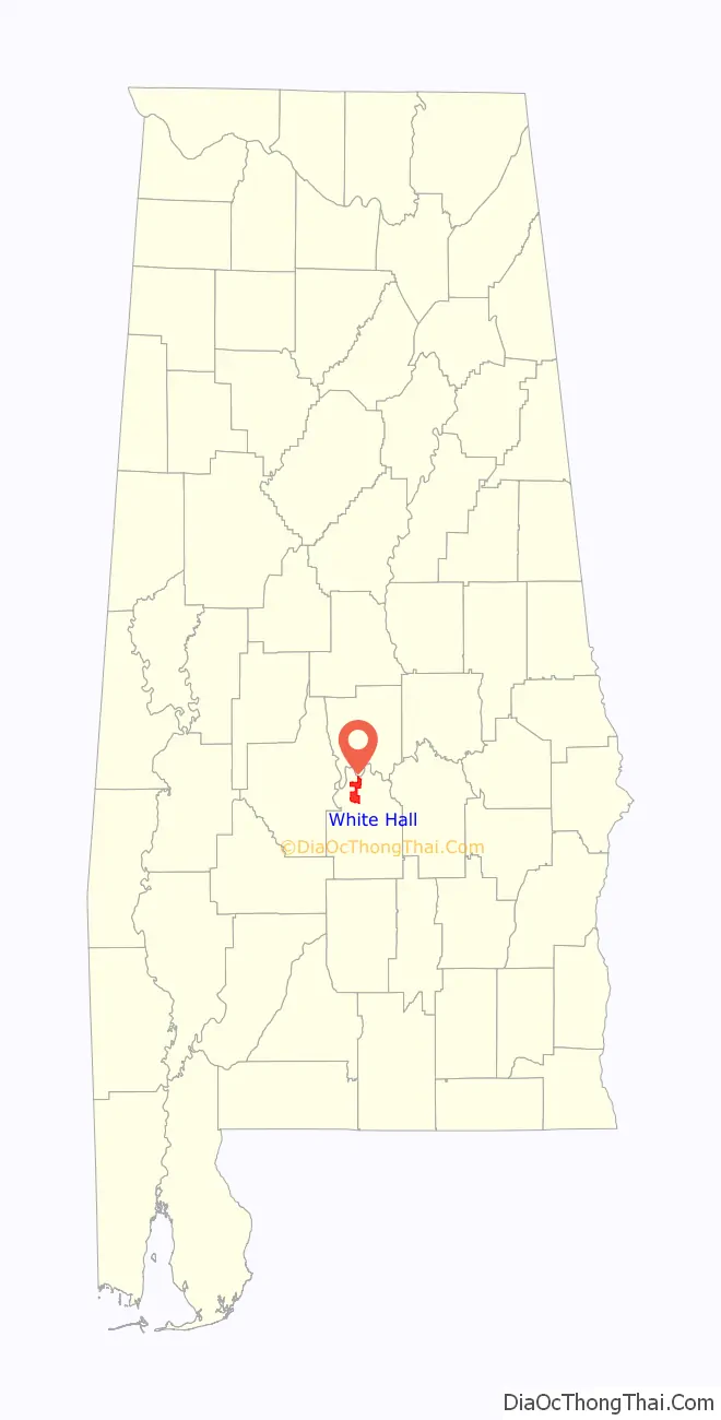
White Hall is a town in Lowndes County, Alabama, United States. The community was named for a plantation that was destroyed in an 1882 tornado. At the 2010 census the population was 858, down from its record high of 1,014 in 2000. It is part of the Montgomery Metropolitan Statistical Area.
It was established during the Great Depression in 1935 as a New Deal project under the Resettlement Administration, similar to the town of Skyline. Because of Southern racial segregation, White Hall was intended for the African-American majority population in the area. The town did not incorporate until 1979.
| Name: | White Hall town |
|---|---|
| LSAD Code: | 43 |
| LSAD Description: | town (suffix) |
| State: | Alabama |
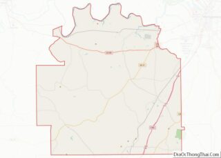
| County: | Lowndes County |
| Elevation: | 184 ft (56 m) |
| Total Area: | 15.54 sq mi (40.24 km²) |
| Land Area: | 15.32 sq mi (39.67 km²) |
| Water Area: | 0.22 sq mi (0.57 km²) |
| Total Population: | 806 |
| Population Density: | 52.62/sq mi (20.32/km²) |
| FIPS code: | 0181912 |
| GNISfeature ID: | 0153961 |
Online Interactive Map
Click on ![]() to view map in "full screen" mode.
to view map in "full screen" mode.
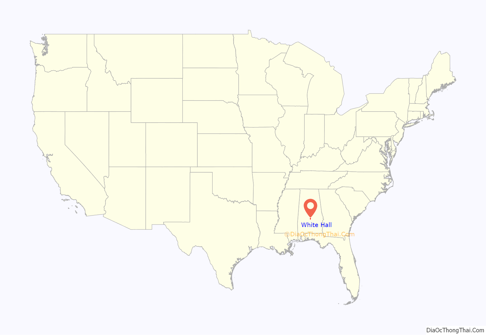
White Hall location map. Where is White Hall town?
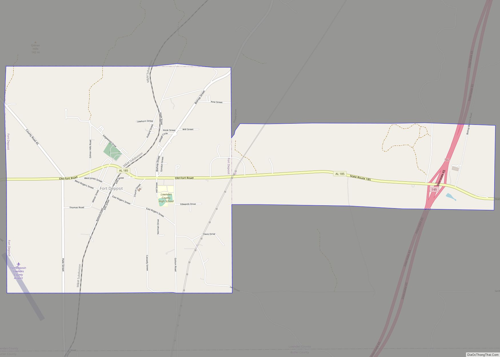
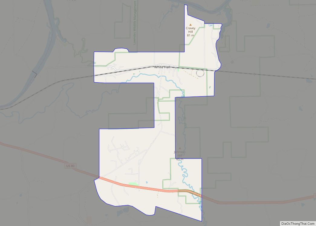
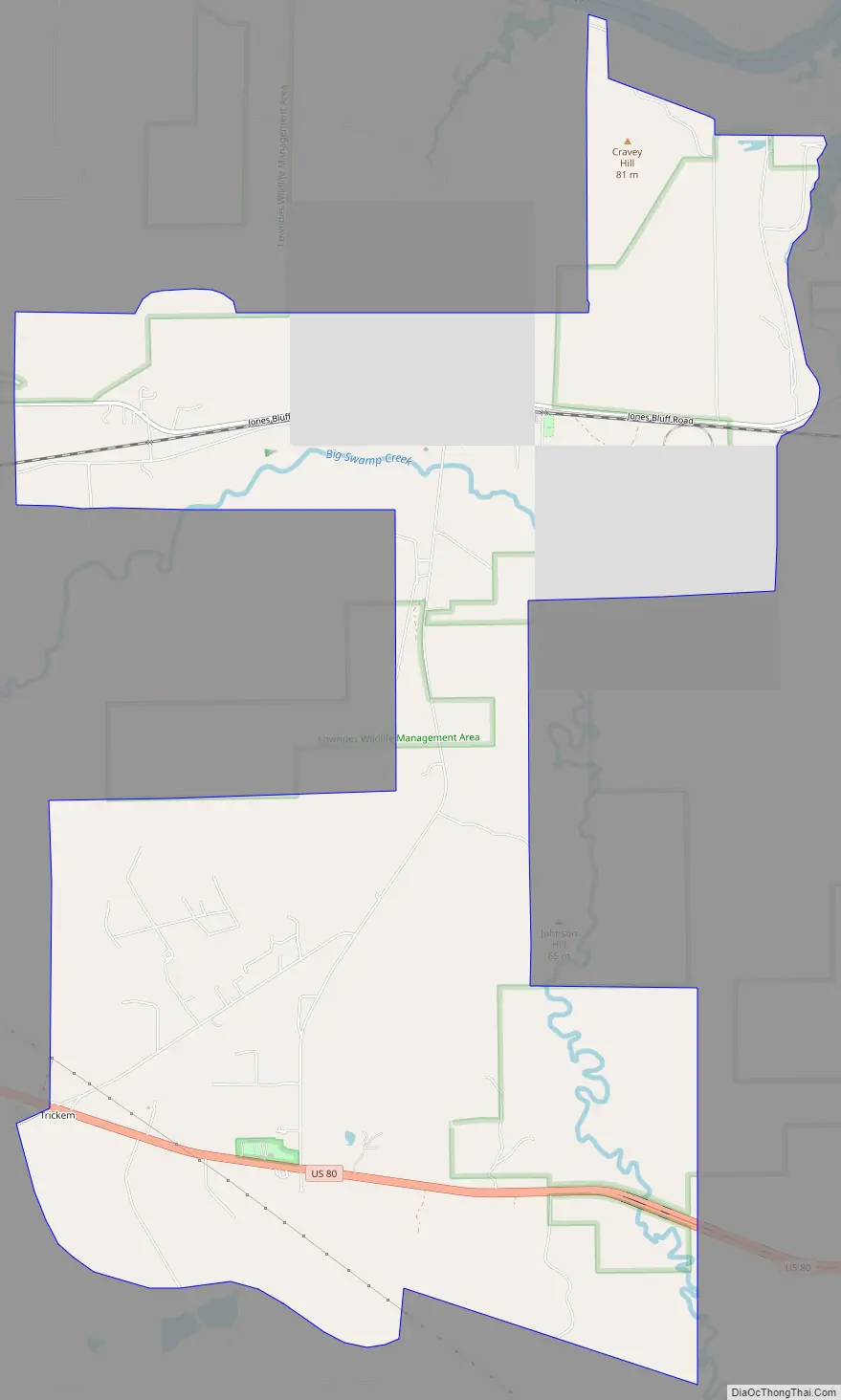
White Hall Road Map
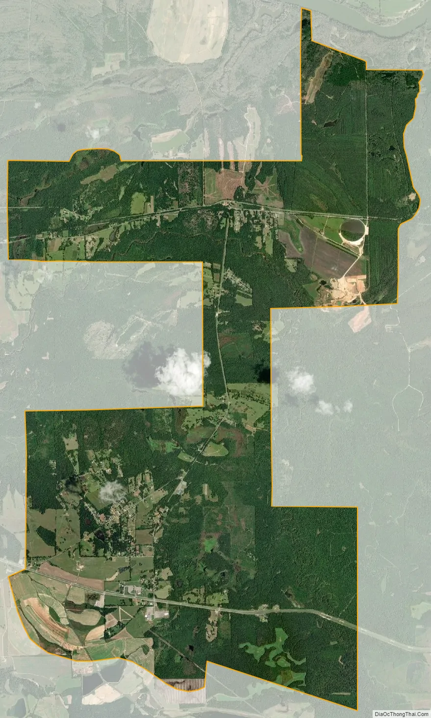
White Hall city Satellite Map
Geography
White Hall is located at 32°18′50″N 86°42′50″W / 32.31389°N 86.71389°W / 32.31389; -86.71389 (32.313866, -86.714019).
According to the U.S. Census Bureau, the town has a total area of 15.5 square miles (40 km), of which 15.5 square miles (40 km) is land and 0.1 square miles (0.26 km) (0.39%) is water.
See also
Map of Alabama State and its subdivision:- Autauga
- Baldwin
- Barbour
- Bibb
- Blount
- Bullock
- Butler
- Calhoun
- Chambers
- Cherokee
- Chilton
- Choctaw
- Clarke
- Clay
- Cleburne
- Coffee
- Colbert
- Conecuh
- Coosa
- Covington
- Crenshaw
- Cullman
- Dale
- Dallas
- De Kalb
- Elmore
- Escambia
- Etowah
- Fayette
- Franklin
- Geneva
- Greene
- Hale
- Henry
- Houston
- Jackson
- Jefferson
- Lamar
- Lauderdale
- Lawrence
- Lee
- Limestone
- Lowndes
- Macon
- Madison
- Marengo
- Marion
- Marshall
- Mobile
- Monroe
- Montgomery
- Morgan
- Perry
- Pickens
- Pike
- Randolph
- Russell
- Saint Clair
- Shelby
- Sumter
- Talladega
- Tallapoosa
- Tuscaloosa
- Walker
- Washington
- Wilcox
- Winston
- Alabama
- Alaska
- Arizona
- Arkansas
- California
- Colorado
- Connecticut
- Delaware
- District of Columbia
- Florida
- Georgia
- Hawaii
- Idaho
- Illinois
- Indiana
- Iowa
- Kansas
- Kentucky
- Louisiana
- Maine
- Maryland
- Massachusetts
- Michigan
- Minnesota
- Mississippi
- Missouri
- Montana
- Nebraska
- Nevada
- New Hampshire
- New Jersey
- New Mexico
- New York
- North Carolina
- North Dakota
- Ohio
- Oklahoma
- Oregon
- Pennsylvania
- Rhode Island
- South Carolina
- South Dakota
- Tennessee
- Texas
- Utah
- Vermont
- Virginia
- Washington
- West Virginia
- Wisconsin
- Wyoming