Winfield is a city in Marion and Fayette counties in the U.S. state of Alabama. The population was 4,845 at the 2020 census, the second largest city in Marion County.
| Name: | Winfield city |
|---|---|
| LSAD Code: | 25 |
| LSAD Description: | city (suffix) |
| State: | Alabama |
| County: | Fayette County, Marion County |
| Elevation: | 476 ft (145 m) |
| Total Area: | 17.83 sq mi (46.2 km²) |
| Land Area: | 17.78 sq mi (46.0 km²) |
| Water Area: | 0.05 sq mi (0.1 km²) |
| Total Population: | 4,845 |
| Population Density: | 272.47/sq mi (105.20/km²) |
| ZIP code: | 35594 |
| Area code: | 205, 659 |
| FIPS code: | 0182992 |
| GNISfeature ID: | 0154009 |
| Website: | www.winfieldcity.org |
Online Interactive Map
Click on ![]() to view map in "full screen" mode.
to view map in "full screen" mode.
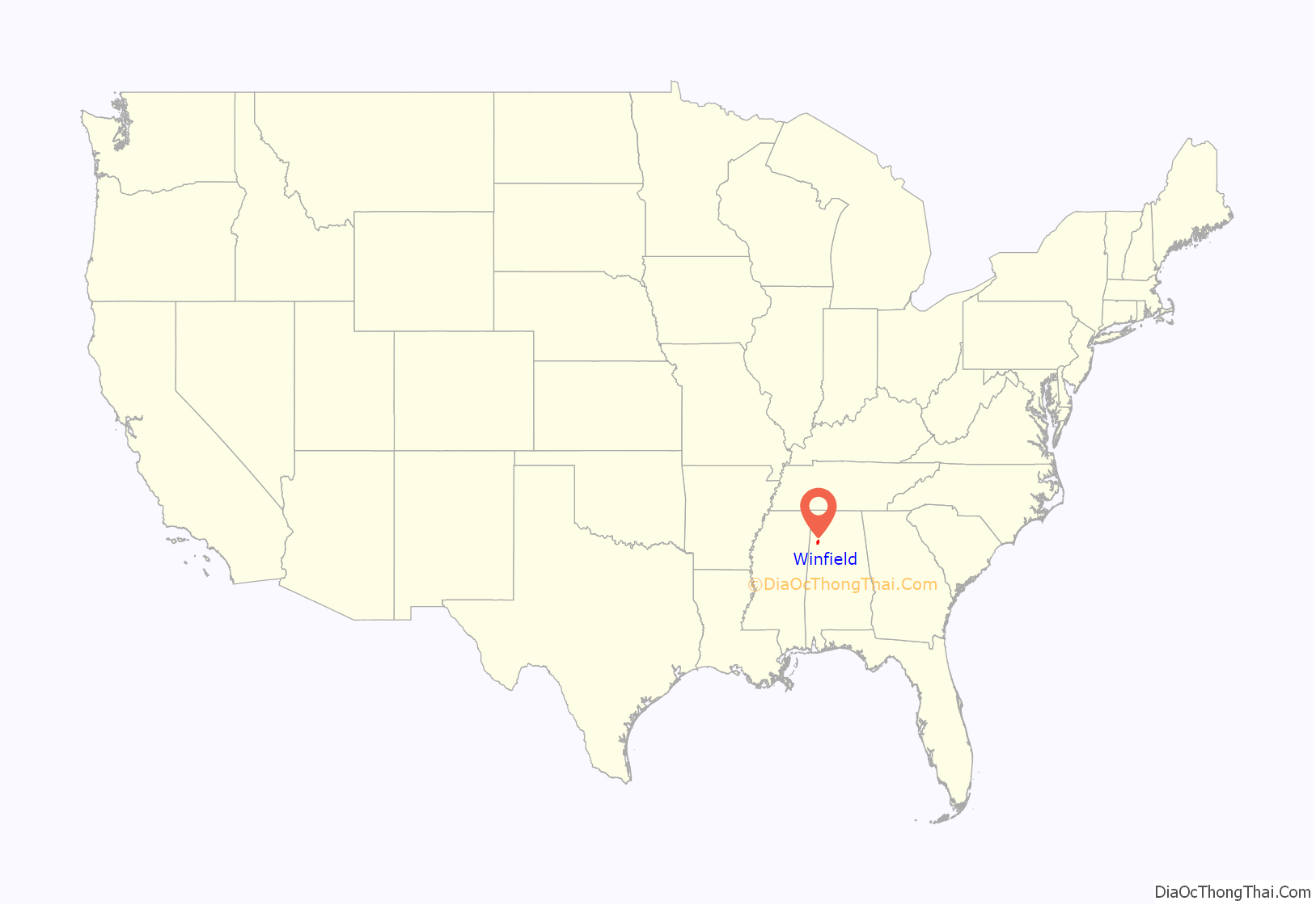
Winfield location map. Where is Winfield city?
History
Winfield is a small city situated in northwest Alabama, 26 miles (42 km) east of the Mississippi state line. It lies in the foothills of the Appalachian Mountain range which stretches from the deep South all the way to Canada. Long before the earliest settlers arrived, native tribes hunted in the forest and fished in the streams of the region. This area was once the domain of the Chickasaw people. Although there were no known Native settlements within the county, several sites were maintained as hunting camps.
The site was originally known simply as Luxapallila, after the adjacent creek. Later, when settlers began to arrive in greater force, they called their community “Needmore”. When it was incorporated in either 1887 or 1891, the name was changed to “Winfield” in honor of General Winfield Scott.
At the end of 2014, a secret meeting by the city council of Winfield, and by unanimous vote, symbolically declared God the owner of the city of Winfield.
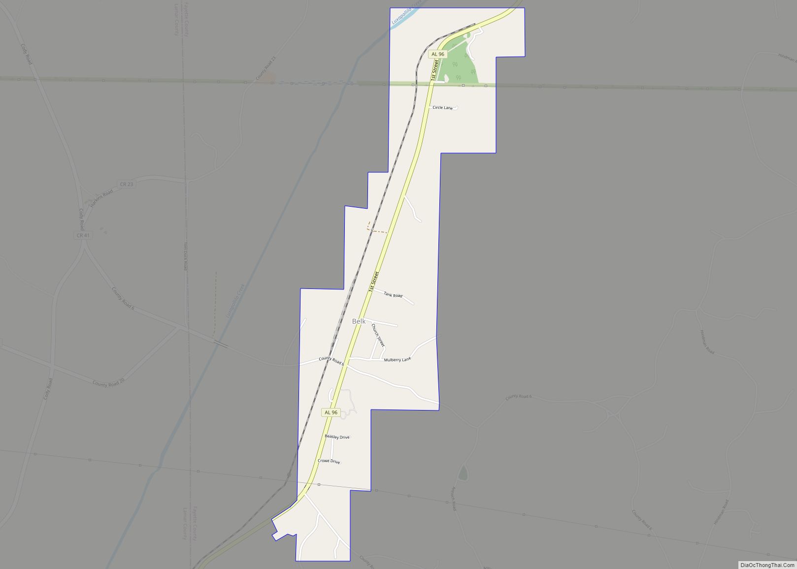
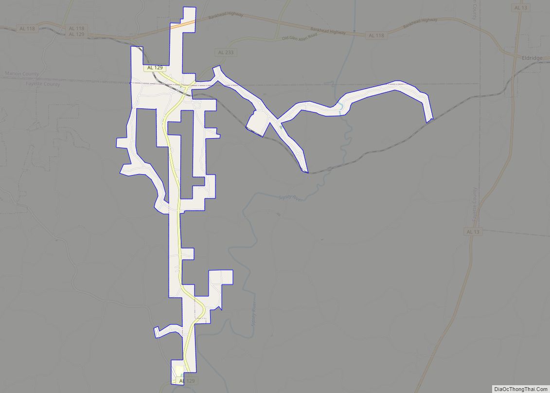
Winfield Road Map
Winfield city Satellite Map
Geography
Geography
Winfield is located in southern Marion County at 33°55′42″N 87°48′29″W / 33.92833°N 87.80806°W / 33.92833; -87.80806 (33.928258, -87.807990), with a portion extending south into Fayette County. U.S. Route 43 passes through the city, leading northwest 6.5 miles (10.5 km) to Guin and south 18 miles (29 km) to Fayette. Hamilton, the Marion County seat, is 20 miles (32 km) northwest via US 43.
According to the U.S. Census Bureau, the city has a total area of 17.9 square miles (46 km), of which 0.04 square miles (0.1036 km), or 0.27%, are water. The East Branch of Luxapallila Creek curves past the center of town, flowing southwest toward the Tombigbee River at Columbus, Mississippi.
Climate
Winfield has a subtropical climate characterized by hot, humid summers, mild winters, and abundant rainfall during the late winter and spring. January sees average daily high temperatures of 53.0 °F (11.7 °C) and lows of 31.8 °F (−0.1 °C). In July, the average daily high is 90.6 °F (32.6 °C), and the low is 69.2 °F (20.7 °C). Snowfall is infrequent in the area, with a yearly average of 0.5 inches (12.7 mm). The average yearly rainfall in Winfield is about 52 inches (1,300 mm), with March being the wettest month and October the driest.
The spring and fall months are pleasant but variable, but cold fronts frequently bring strong to severe thunderstorms and occasional tornadoes to the region. The fall season features less rainfall and fewer storms, as well as lower humidity than the spring, but is also a secondary severe weather season.
December 2021 tornado
Late in the evening hours of December 29, 2021, a line of strong to severe storms entered Alabama from Mississippi. At 6:27 PM, a tornado warning was issued for an area that included Winfield, Guin, Brilliant, Glen Allen, Beaverton, Gu-Win, Crews, Tucker, Bazemore, and Texas. The storm caused damage on the outskirts of Winfield in the form of downed trees. At 6:46 PM, the tornado moved over downtown Winfield, causing a substantial amount of damage in the area. No injuries or fatalities were reported despite eight workers at a local pizza bar being trapped for about thirty minutes. The tornado was rated EF-1.
See also
Map of Alabama State and its subdivision:- Autauga
- Baldwin
- Barbour
- Bibb
- Blount
- Bullock
- Butler
- Calhoun
- Chambers
- Cherokee
- Chilton
- Choctaw
- Clarke
- Clay
- Cleburne
- Coffee
- Colbert
- Conecuh
- Coosa
- Covington
- Crenshaw
- Cullman
- Dale
- Dallas
- De Kalb
- Elmore
- Escambia
- Etowah
- Fayette
- Franklin
- Geneva
- Greene
- Hale
- Henry
- Houston
- Jackson
- Jefferson
- Lamar
- Lauderdale
- Lawrence
- Lee
- Limestone
- Lowndes
- Macon
- Madison
- Marengo
- Marion
- Marshall
- Mobile
- Monroe
- Montgomery
- Morgan
- Perry
- Pickens
- Pike
- Randolph
- Russell
- Saint Clair
- Shelby
- Sumter
- Talladega
- Tallapoosa
- Tuscaloosa
- Walker
- Washington
- Wilcox
- Winston
- Alabama
- Alaska
- Arizona
- Arkansas
- California
- Colorado
- Connecticut
- Delaware
- District of Columbia
- Florida
- Georgia
- Hawaii
- Idaho
- Illinois
- Indiana
- Iowa
- Kansas
- Kentucky
- Louisiana
- Maine
- Maryland
- Massachusetts
- Michigan
- Minnesota
- Mississippi
- Missouri
- Montana
- Nebraska
- Nevada
- New Hampshire
- New Jersey
- New Mexico
- New York
- North Carolina
- North Dakota
- Ohio
- Oklahoma
- Oregon
- Pennsylvania
- Rhode Island
- South Carolina
- South Dakota
- Tennessee
- Texas
- Utah
- Vermont
- Virginia
- Washington
- West Virginia
- Wisconsin
- Wyoming
