Coy is a town in southern Lonoke County, Arkansas, United States. The population was 96 at the 2010 census, making it the smallest incorporated community within the Little Rock–North Little Rock–Conway Metropolitan Statistical Area, as well as one of the smallest in the state.
| Name: | Coy town |
|---|---|
| LSAD Code: | 43 |
| LSAD Description: | town (suffix) |
| State: | Arkansas |
| County: | Lonoke County |
| Elevation: | 217 ft (66 m) |
| Total Area: | 0.67 sq mi (1.74 km²) |
| Land Area: | 0.67 sq mi (1.74 km²) |
| Water Area: | 0.00 sq mi (0.00 km²) |
| Total Population: | 87 |
| Population Density: | 129.46/sq mi (49.96/km²) |
| ZIP code: | 72037 |
| Area code: | 501 |
| FIPS code: | 0515790 |
| GNISfeature ID: | 0057595 |
Online Interactive Map
Click on ![]() to view map in "full screen" mode.
to view map in "full screen" mode.
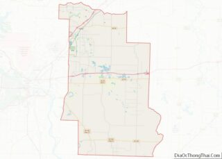
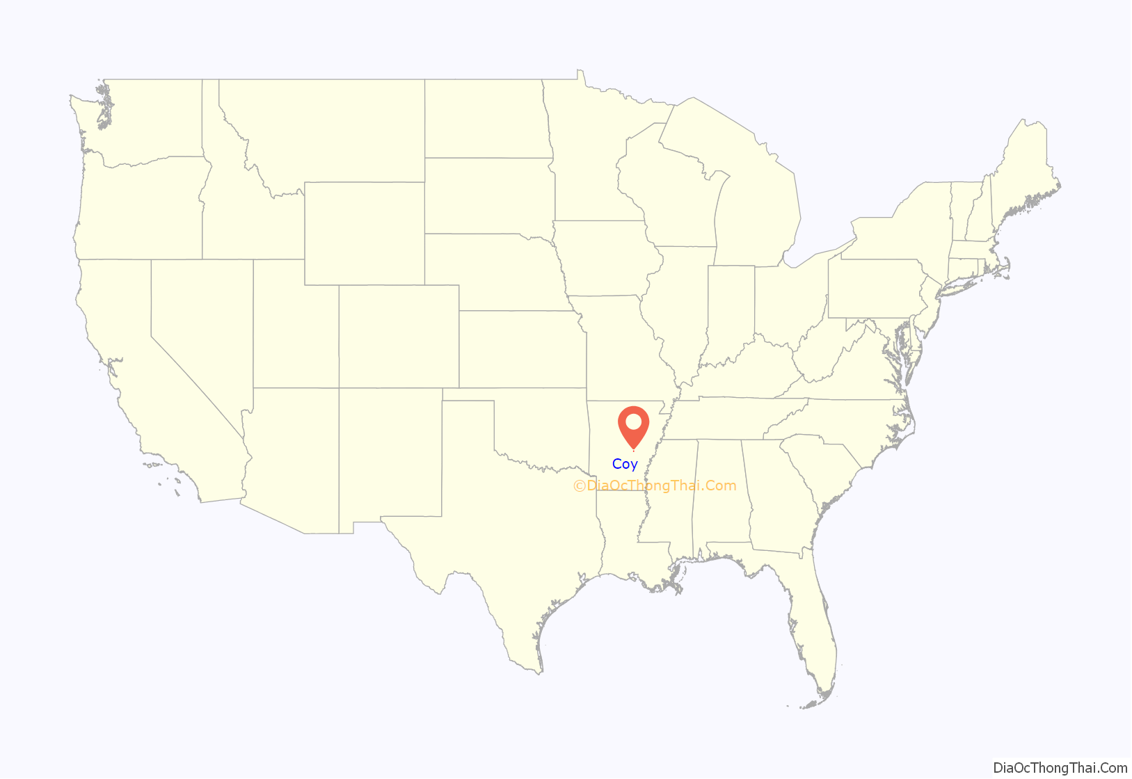
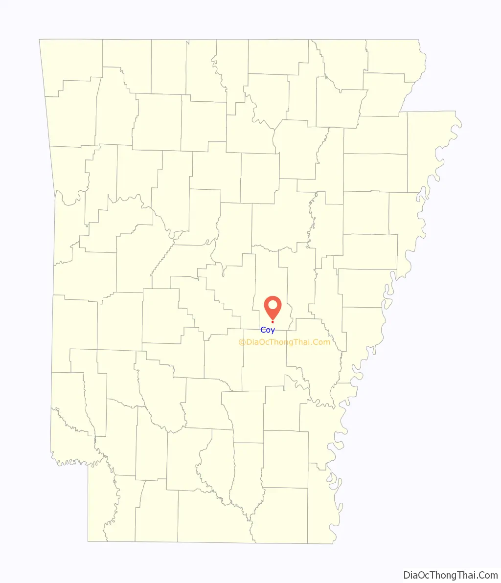
Coy location map. Where is Coy town?
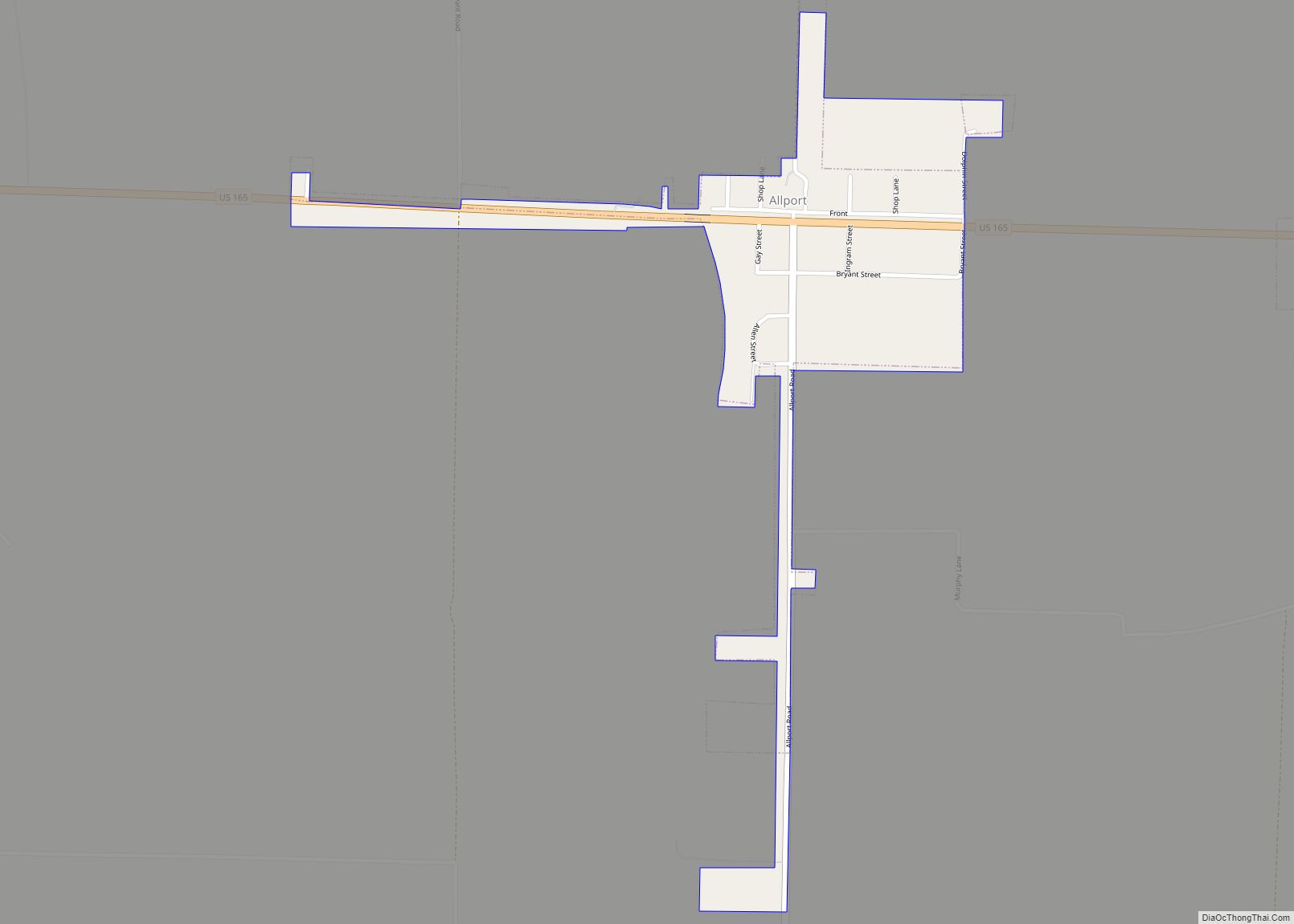
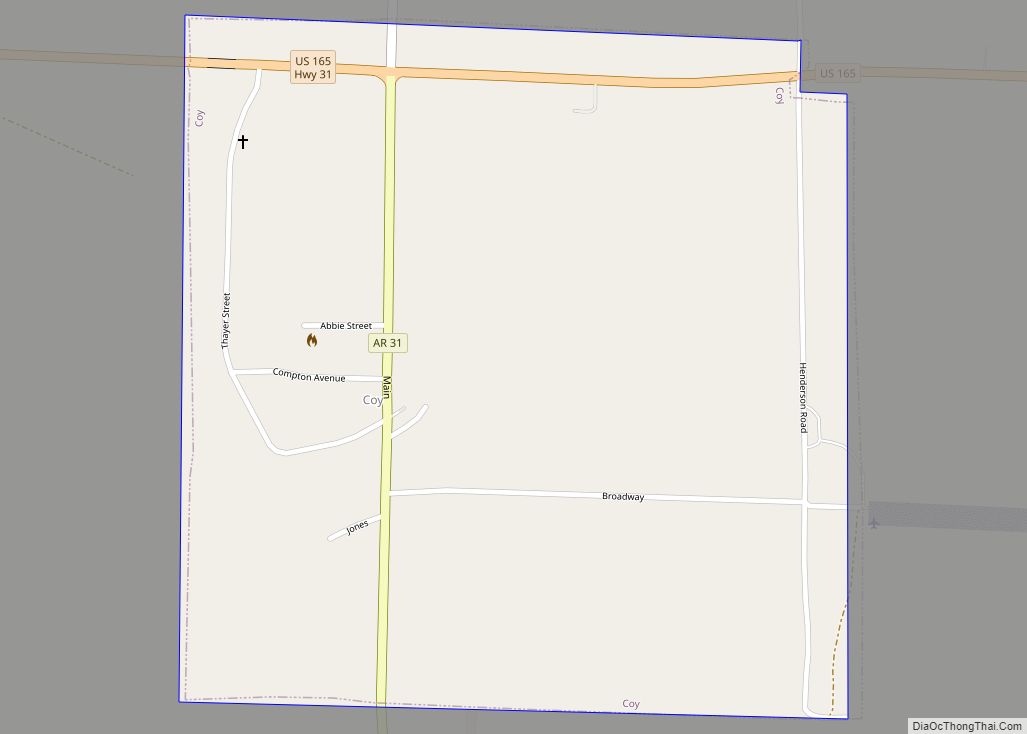
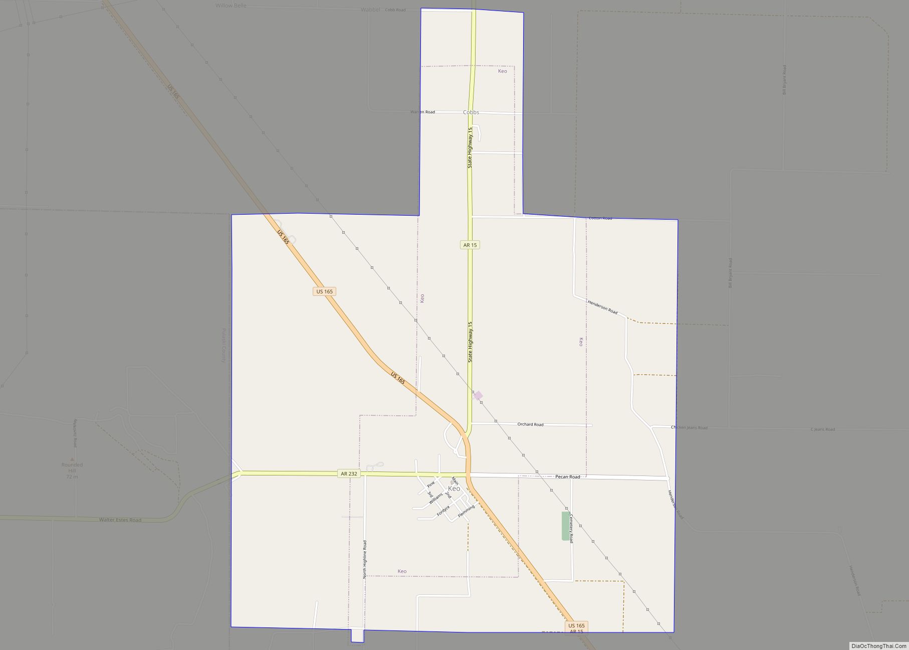
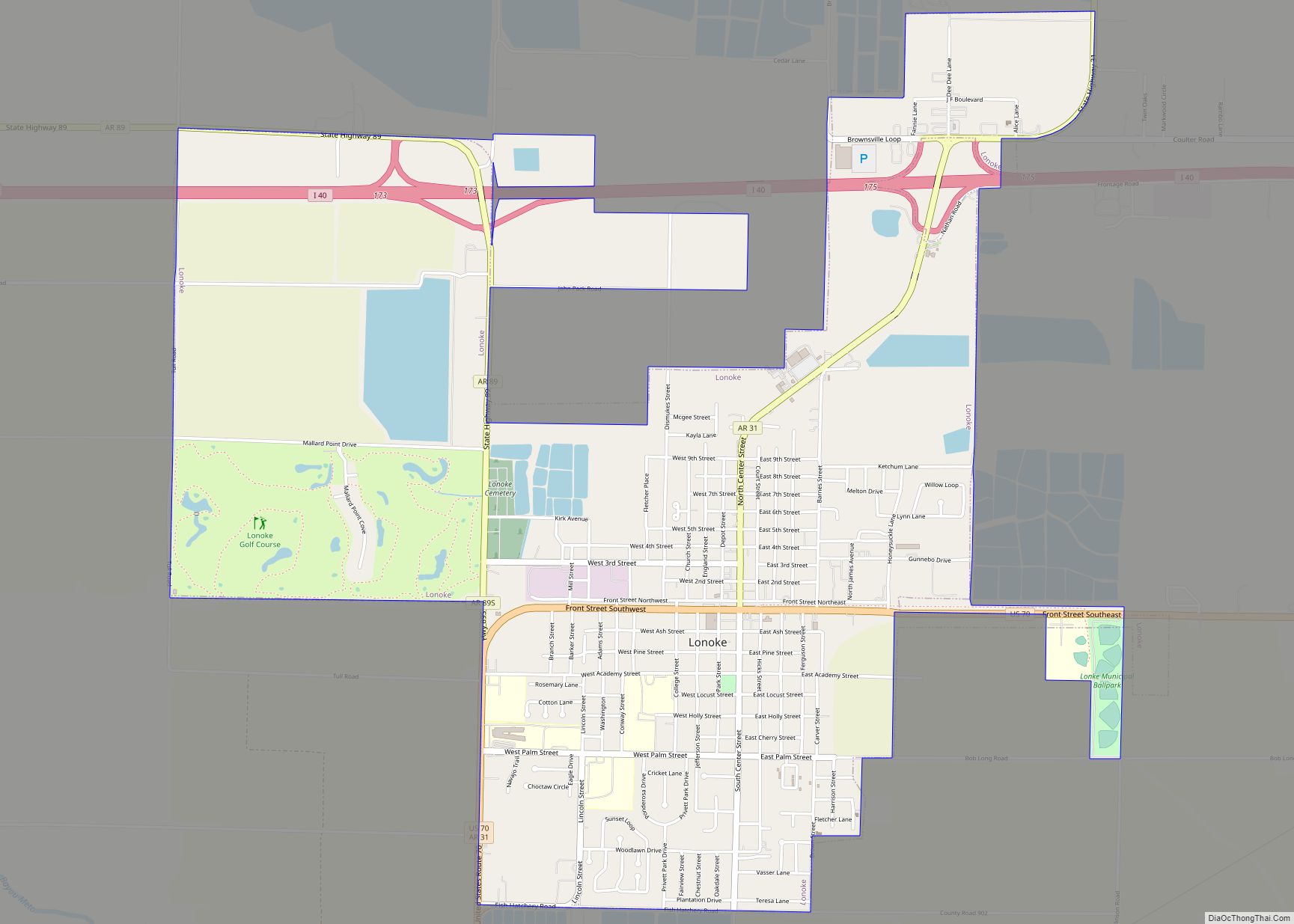
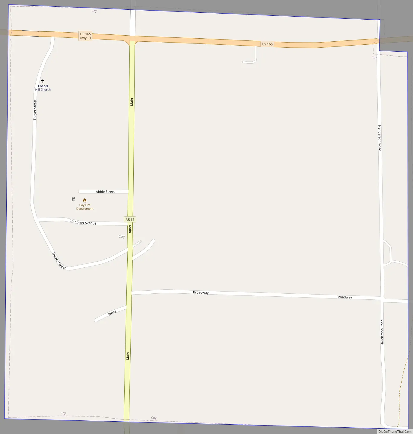
Coy Road Map
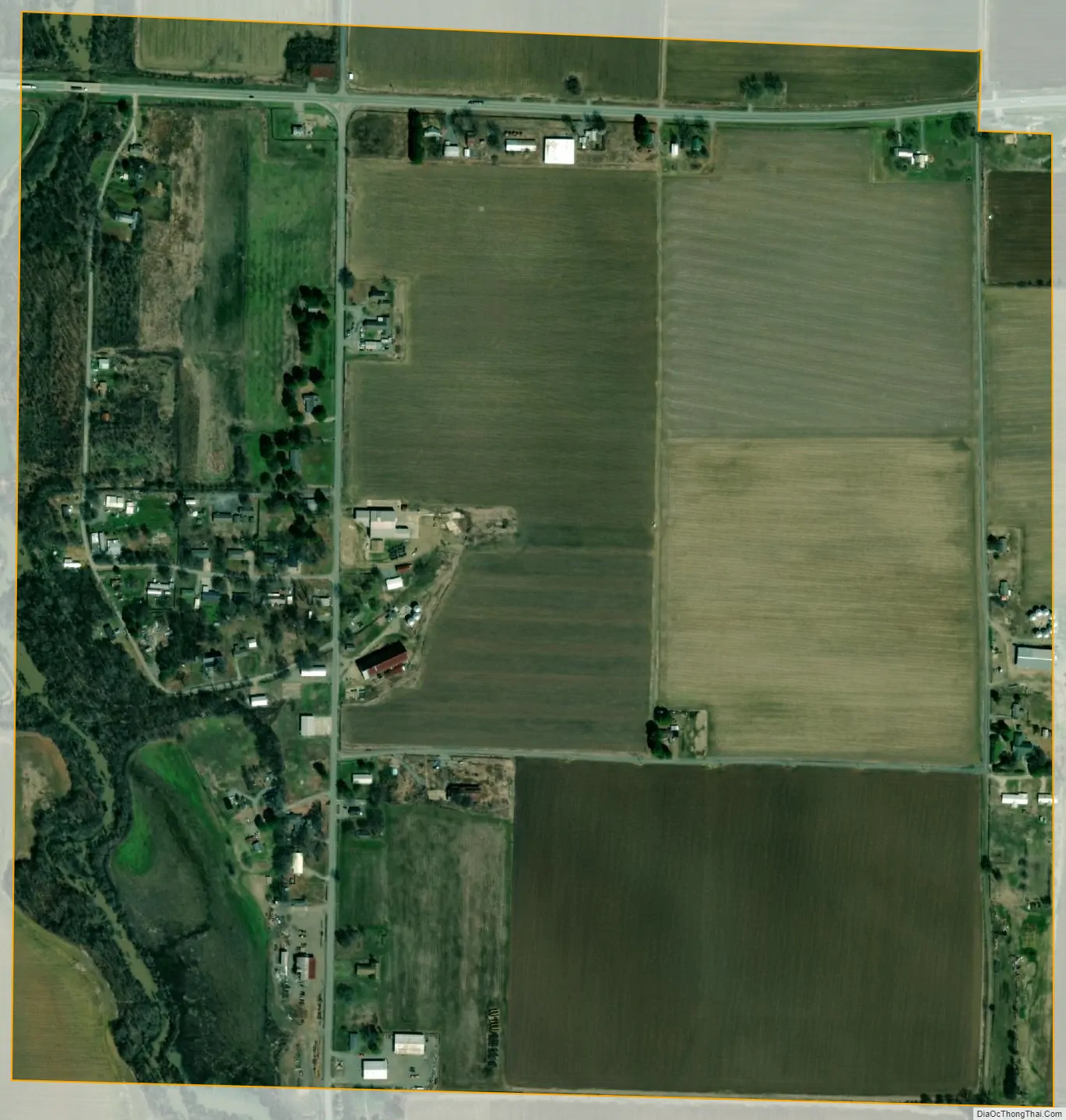
Coy city Satellite Map
Geography
Coy is located in southern Lonoke County at 34°32′31″N 91°52′11″W / 34.54194°N 91.86972°W / 34.54194; -91.86972 (34.541882, -91.869736). U.S. Route 165 passes through the northern side of the town, leading east 6 miles (10 km) to Humnoke and west 5 miles (8 km) to England. Arkansas Highway 31 passes through the center of Coy, leading north 19 miles (31 km) to Lonoke, the county seat, and south 15 miles (24 km) to Sherrill.
According to the United States Census Bureau, the town of Coy has a total area of 0.66 square miles (1.7 km), all land.
See also
Map of Arkansas State and its subdivision:- Arkansas
- Ashley
- Baxter
- Benton
- Boone
- Bradley
- Calhoun
- Carroll
- Chicot
- Clark
- Clay
- Cleburne
- Cleveland
- Columbia
- Conway
- Craighead
- Crawford
- Crittenden
- Cross
- Dallas
- Desha
- Drew
- Faulkner
- Franklin
- Fulton
- Garland
- Grant
- Greene
- Hempstead
- Hot Spring
- Howard
- Independence
- Izard
- Jackson
- Jefferson
- Johnson
- Lafayette
- Lawrence
- Lee
- Lincoln
- Little River
- Logan
- Lonoke
- Madison
- Marion
- Miller
- Mississippi
- Monroe
- Montgomery
- Nevada
- Newton
- Ouachita
- Perry
- Phillips
- Pike
- Poinsett
- Polk
- Pope
- Prairie
- Pulaski
- Randolph
- Saint Francis
- Saline
- Scott
- Searcy
- Sebastian
- Sevier
- Sharp
- Stone
- Union
- Van Buren
- Washington
- White
- Woodruff
- Yell
- Alabama
- Alaska
- Arizona
- Arkansas
- California
- Colorado
- Connecticut
- Delaware
- District of Columbia
- Florida
- Georgia
- Hawaii
- Idaho
- Illinois
- Indiana
- Iowa
- Kansas
- Kentucky
- Louisiana
- Maine
- Maryland
- Massachusetts
- Michigan
- Minnesota
- Mississippi
- Missouri
- Montana
- Nebraska
- Nevada
- New Hampshire
- New Jersey
- New Mexico
- New York
- North Carolina
- North Dakota
- Ohio
- Oklahoma
- Oregon
- Pennsylvania
- Rhode Island
- South Carolina
- South Dakota
- Tennessee
- Texas
- Utah
- Vermont
- Virginia
- Washington
- West Virginia
- Wisconsin
- Wyoming