Ward is the third most populous city in Lonoke County, Arkansas, United States. The population was 4,067 at the 2010 census. It is part of the Little Rock–North Little Rock–Conway Metropolitan Statistical Area.
| Name: | Ward city |
|---|---|
| LSAD Code: | 25 |
| LSAD Description: | city (suffix) |
| State: | Arkansas |
| County: | Lonoke County |
| Elevation: | 240 ft (73 m) |
| Total Area: | 4.31 sq mi (11.15 km²) |
| Land Area: | 4.30 sq mi (11.15 km²) |
| Water Area: | 0.00 sq mi (0.00 km²) |
| Total Population: | 6,052 |
| Population Density: | 1,406.13/sq mi (542.93/km²) |
| ZIP code: | 72176 |
| Area code: | 501 |
| FIPS code: | 0573130 |
| GNISfeature ID: | 0056036 |
| Website: | www.wardarkansas.org |
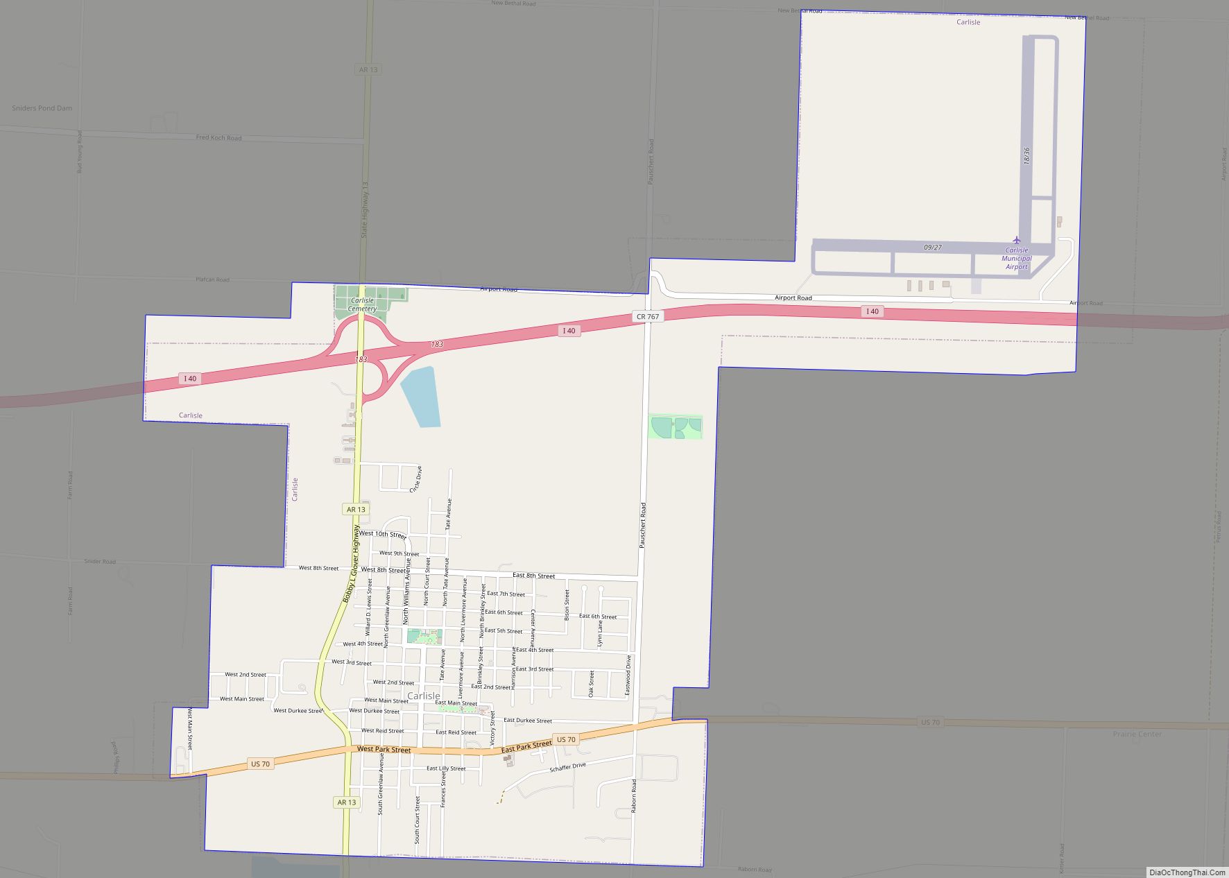
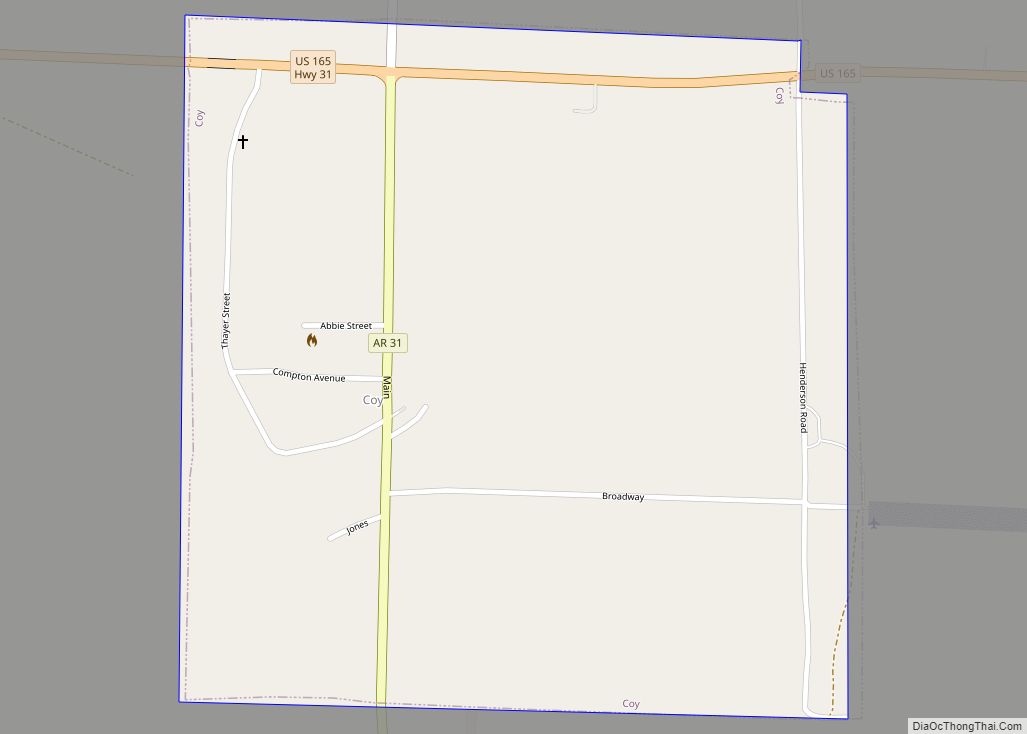
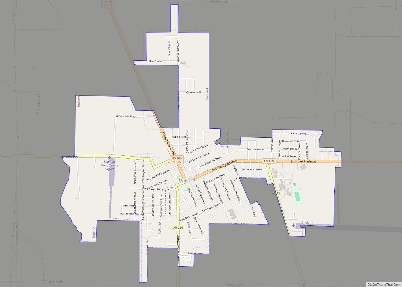
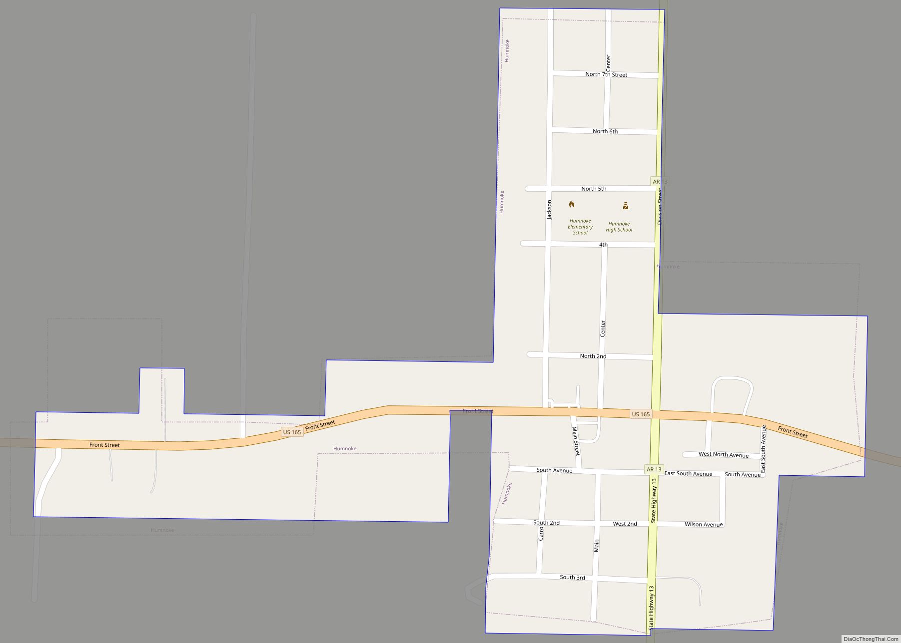
Online Interactive Map
Click on ![]() to view map in "full screen" mode.
to view map in "full screen" mode.
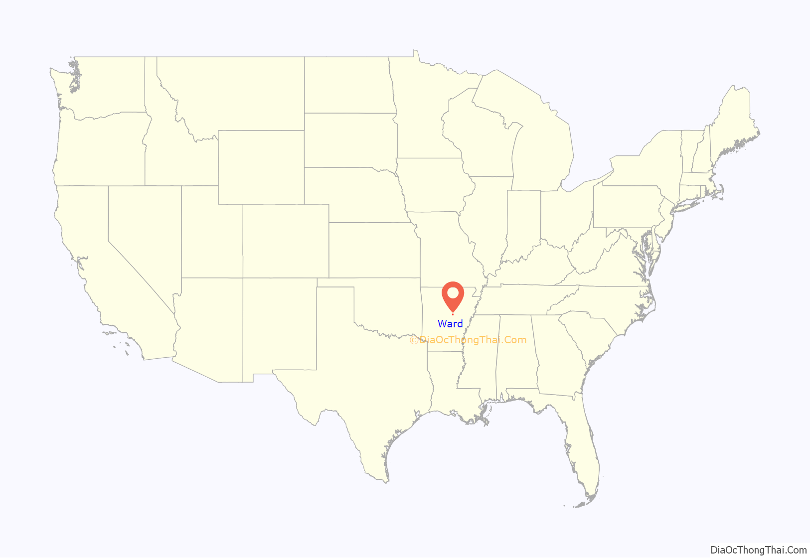
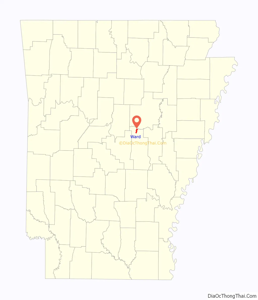
Ward location map. Where is Ward city?
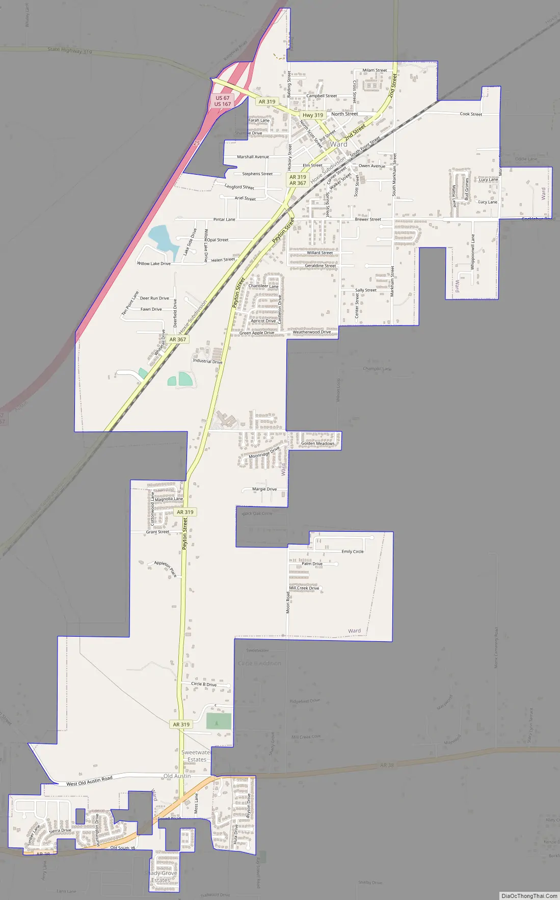
Ward Road Map
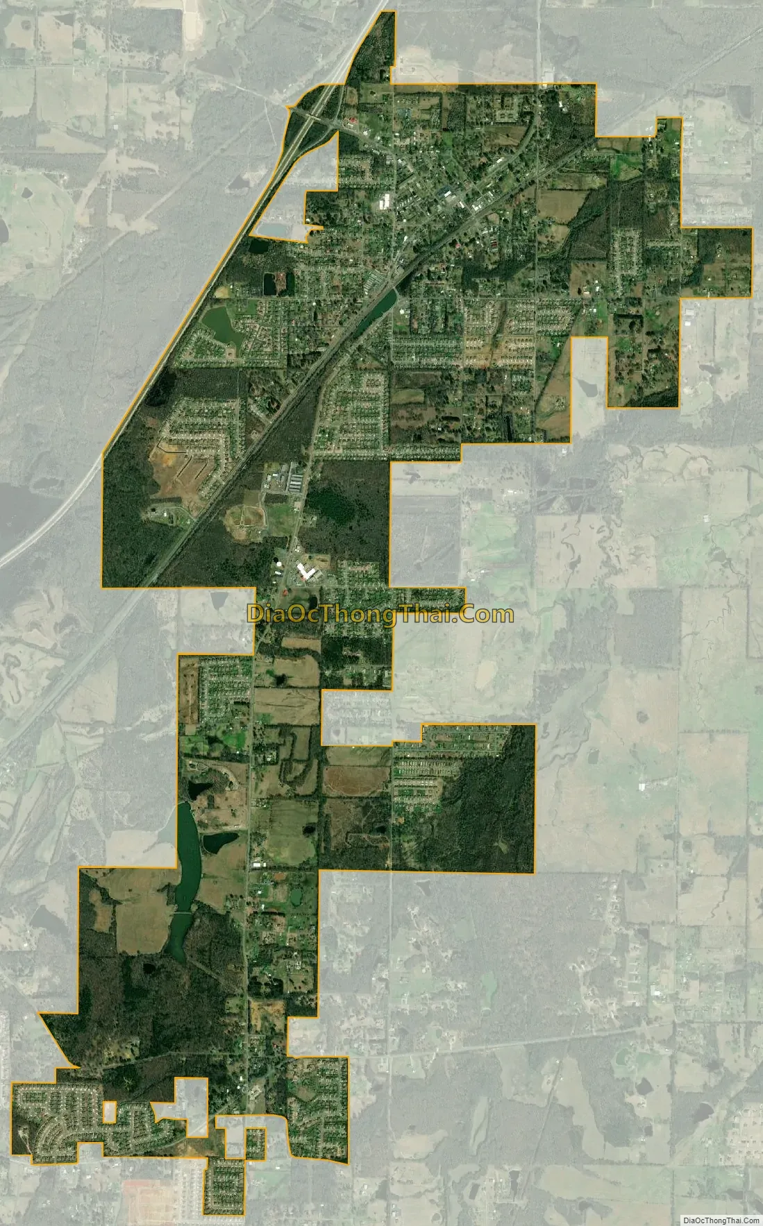
Ward city Satellite Map
Geography
According to the United States Census Bureau, the city has a total area of 3.9 square miles (10 km), all land.
The city is divided into three wards, progressing from the northeast to the southwest. In the city’s first ward is its downtown, which is situated diagonally along a railroad line running parallel to Arkansas Highway 367 (the former path of U.S. Highway 67). The second ward contains the central portion of the city, its industrial area, and its access to the current U.S. Highway 67/167 (Future Interstate 57). Arkansas Highway 319 (Peyton Street within the city south of Highway 367) is a primary thoroughfare in central Ward toward the southwestern section of the city. Some of the most recent development is in the city’s third ward, situated mostly along Peyton Street, south of Wilson Street into the Old Austin community and Arkansas Highway 38; a small detached portion of the ward is located to the northwest along the railroad line and Arkansas Highway 367. Ward Central Elementary, the city’s campus of the Cabot School District, is located in the larger portion of the third ward.
See also
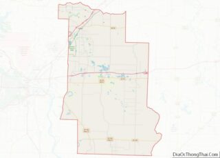
Map of Arkansas State and its subdivision:- Arkansas
- Ashley
- Baxter
- Benton
- Boone
- Bradley
- Calhoun
- Carroll
- Chicot
- Clark
- Clay
- Cleburne
- Cleveland
- Columbia
- Conway
- Craighead
- Crawford
- Crittenden
- Cross
- Dallas
- Desha
- Drew
- Faulkner
- Franklin
- Fulton
- Garland
- Grant
- Greene
- Hempstead
- Hot Spring
- Howard
- Independence
- Izard
- Jackson
- Jefferson
- Johnson
- Lafayette
- Lawrence
- Lee
- Lincoln
- Little River
- Logan
- Lonoke
- Madison
- Marion
- Miller
- Mississippi
- Monroe
- Montgomery
- Nevada
- Newton
- Ouachita
- Perry
- Phillips
- Pike
- Poinsett
- Polk
- Pope
- Prairie
- Pulaski
- Randolph
- Saint Francis
- Saline
- Scott
- Searcy
- Sebastian
- Sevier
- Sharp
- Stone
- Union
- Van Buren
- Washington
- White
- Woodruff
- Yell
- Alabama
- Alaska
- Arizona
- Arkansas
- California
- Colorado
- Connecticut
- Delaware
- District of Columbia
- Florida
- Georgia
- Hawaii
- Idaho
- Illinois
- Indiana
- Iowa
- Kansas
- Kentucky
- Louisiana
- Maine
- Maryland
- Massachusetts
- Michigan
- Minnesota
- Mississippi
- Missouri
- Montana
- Nebraska
- Nevada
- New Hampshire
- New Jersey
- New Mexico
- New York
- North Carolina
- North Dakota
- Ohio
- Oklahoma
- Oregon
- Pennsylvania
- Rhode Island
- South Carolina
- South Dakota
- Tennessee
- Texas
- Utah
- Vermont
- Virginia
- Washington
- West Virginia
- Wisconsin
- Wyoming