Aliso Viejo (Spanish for “Old Sycamore”) is a city in the San Joaquin Hills of southern Orange County, California. It had a population of 47,823 as of the 2010 census, up from 40,166 as of the 2000 census. It became Orange County’s 34th city on July 1, 2001, the only city in Orange County to be incorporated since 2000. It is bordered by the cities of Laguna Beach on the west and southwest, Laguna Hills on the east, Laguna Niguel on the southeast, and Laguna Woods on the north.
| Name: | Aliso Viejo city |
|---|---|
| LSAD Code: | 25 |
| LSAD Description: | city (suffix) |
| State: | California |
| County: | Orange County |
| Incorporated: | July 1, 2001 |
| Elevation: | 410 ft (125 m) |
| Total Area: | 6.93 sq mi (17.94 km²) |
| Land Area: | 6.93 sq mi (17.94 km²) |
| Water Area: | 0.00 sq mi (0.00 km²) 0% |
| Total Population: | 52,176 |
| Population Density: | 7,533.35/sq mi (2,908.80/km²) |
| ZIP code: | 92656, 92698 |
| Area code: | 949 |
| FIPS code: | 0600947 |
| Website: | avcity.org |
Online Interactive Map
Click on ![]() to view map in "full screen" mode.
to view map in "full screen" mode.
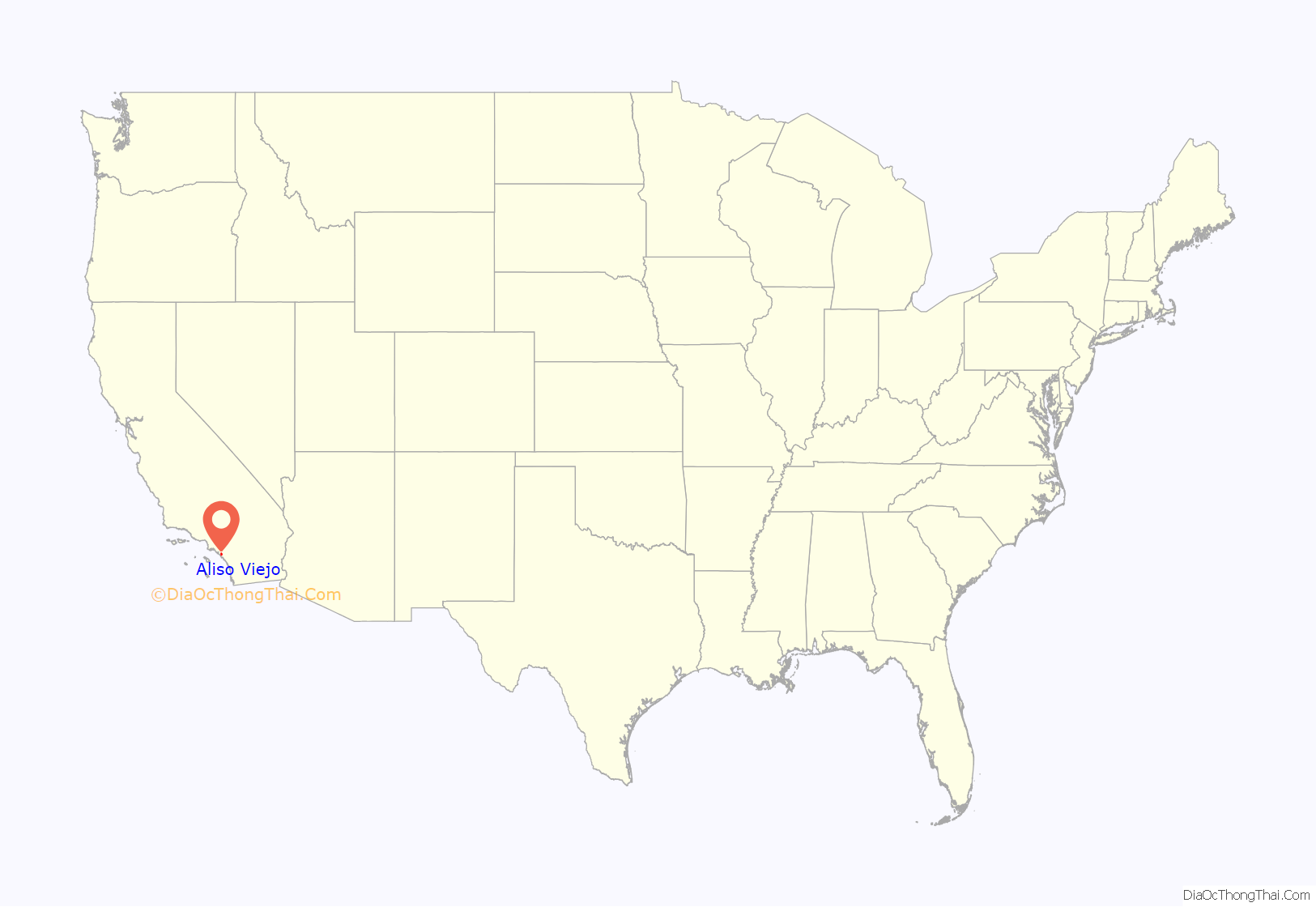
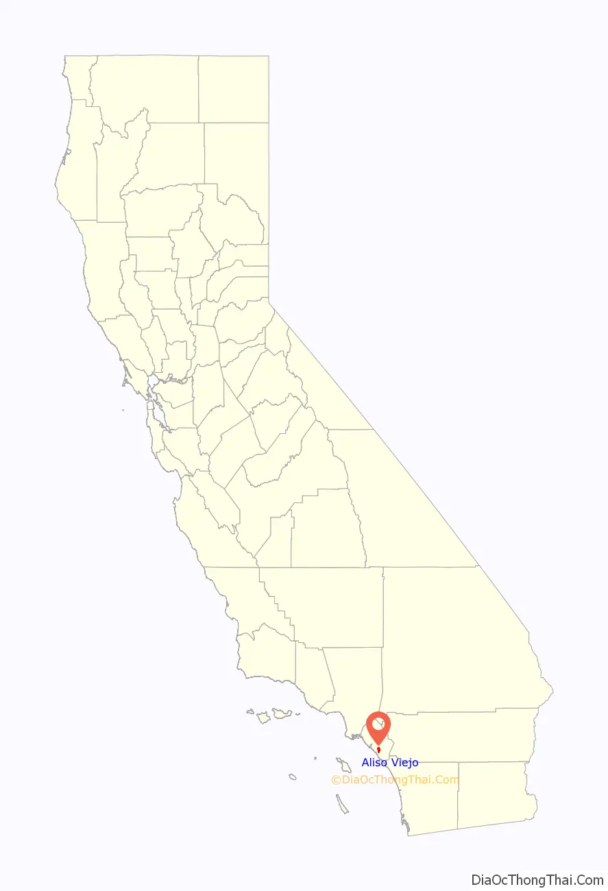
Aliso Viejo location map. Where is Aliso Viejo city?
History
The Acjachemen are the Indigenous people of Aliso Viejo, who lived in the area for thousands of years. The people established numerous villages along Aliso Creek. With the arrival of settlers, the Acjachemen village sites would later become the southern areas of the Moulton Ranch.
The planned community of Aliso Viejo’s original 6,600 acres (2,700 ha) were once part of the 26,000-acre (11,000 ha) Moulton Ranch, owned by the Moulton family, who took title in the 1890s to land originally granted to Juan Avila by the Mexican government in 1842. Over the years, portions of the ranch were sold and became Leisure World, Laguna Hills and Laguna Niguel.
In 1976, the Mission Viejo Company purchased the remaining 6,600 acres to create a new planned community – Aliso Viejo – with a master plan for 20,000 homes for a planned population of 50,000. The master plan was approved by the Orange County in 1979, and homes were first offered for sale in March 1982. Aliso Viejo’s first family moved in that November. As part of the project, 2,600 acres (1,100 ha) were dedicated to Orange County as part of the Aliso and Wood Canyons Wilderness Park, and 800 acres (320 ha) were set aside for local parks, recreation, schools and community facilities.
The Aliso Viejo Community Association (AVCA) was set up to manage the local parks and community open space. It was the first community-wide association of its kind in California and has the unique ability to provide a full range of community services and facilities.
Aliso Viejo was the first planned community in California to plan a balance between the projected resident work force and the number of projected jobs within its borders. Pacific Park, the centrally located 900-acre (360 ha) business park and town center, was expected to ultimately provide more than 22,000 jobs. Every home in Aliso Viejo was located within 1+1⁄2 miles (2.4 km) of Pacific Park, to encourage live-and-work opportunities.
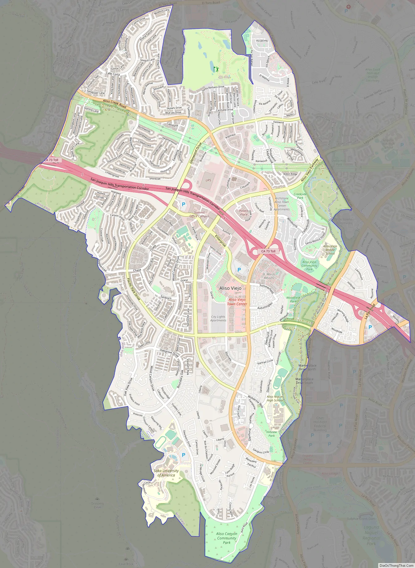
Aliso Viejo Road Map
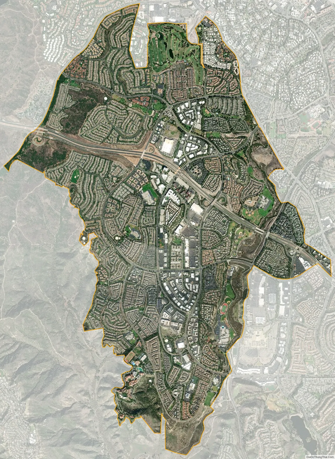
Aliso Viejo city Satellite Map
Geography
Aliso Viejo is located at 33°34′30″N 117°43′32″W / 33.57500°N 117.72556°W / 33.57500; -117.72556 (33.575096, -117.725431) in the San Joaquin Hills of Orange County. According to the Census Bureau, the city has a total area of 7.5 square miles (19 km), all of which is land. Aliso Viejo is one of several cities bordering Aliso and Wood Canyons Regional Park. Aliso Creek forms part of the city’s boundary with Laguna Niguel to the south, and Wood Canyon Creek forms part of the city’s western boundary. Much of the city rests on the east slope of the San Joaquin Hills, which are a coastal mountain range extending for about 15 miles (24 km) along the Pacific coast.
See also
Map of California State and its subdivision:- Alameda
- Alpine
- Amador
- Butte
- Calaveras
- Colusa
- Contra Costa
- Del Norte
- El Dorado
- Fresno
- Glenn
- Humboldt
- Imperial
- Inyo
- Kern
- Kings
- Lake
- Lassen
- Los Angeles
- Madera
- Marin
- Mariposa
- Mendocino
- Merced
- Modoc
- Mono
- Monterey
- Napa
- Nevada
- Orange
- Placer
- Plumas
- Riverside
- Sacramento
- San Benito
- San Bernardino
- San Diego
- San Francisco
- San Joaquin
- San Luis Obispo
- San Mateo
- Santa Barbara
- Santa Clara
- Santa Cruz
- Shasta
- Sierra
- Siskiyou
- Solano
- Sonoma
- Stanislaus
- Sutter
- Tehama
- Trinity
- Tulare
- Tuolumne
- Ventura
- Yolo
- Yuba
- Alabama
- Alaska
- Arizona
- Arkansas
- California
- Colorado
- Connecticut
- Delaware
- District of Columbia
- Florida
- Georgia
- Hawaii
- Idaho
- Illinois
- Indiana
- Iowa
- Kansas
- Kentucky
- Louisiana
- Maine
- Maryland
- Massachusetts
- Michigan
- Minnesota
- Mississippi
- Missouri
- Montana
- Nebraska
- Nevada
- New Hampshire
- New Jersey
- New Mexico
- New York
- North Carolina
- North Dakota
- Ohio
- Oklahoma
- Oregon
- Pennsylvania
- Rhode Island
- South Carolina
- South Dakota
- Tennessee
- Texas
- Utah
- Vermont
- Virginia
- Washington
- West Virginia
- Wisconsin
- Wyoming


