Brea (/ˈbreɪə/; Spanish for “tar”) is a city in northern Orange County, California. The population as of the 2010 census was 39,282. It is 33 miles (53 km) southeast of Los Angeles. Brea is part of the Los Angeles metropolitan area.
The city began as a center of crude oil production, was later propelled by citrus production. It is a significant retail center, including the Brea Mall and downtown Brea. The city has an extensive public art program which began in 1975 and continues today with over 140 artworks in the collection placed and located throughout the city.
| Name: | Brea city |
|---|---|
| LSAD Code: | 25 |
| LSAD Description: | city (suffix) |
| State: | California |
| County: | Orange County |
| Incorporated: | February 23, 1917 |
| Elevation: | 361 ft (110 m) |
| Total Area: | 12.21 sq mi (31.61 km²) |
| Land Area: | 12.17 sq mi (31.51 km²) |
| Water Area: | 0.04 sq mi (0.10 km²) 0.26% |
| Total Population: | 47,325 |
| Population Density: | 3,889.30/sq mi (1,501.72/km²) |
| ZIP code: | 92821–92823 |
| FIPS code: | 0608100 |
| Website: | www.cityofbrea.net |
Online Interactive Map
Click on ![]() to view map in "full screen" mode.
to view map in "full screen" mode.
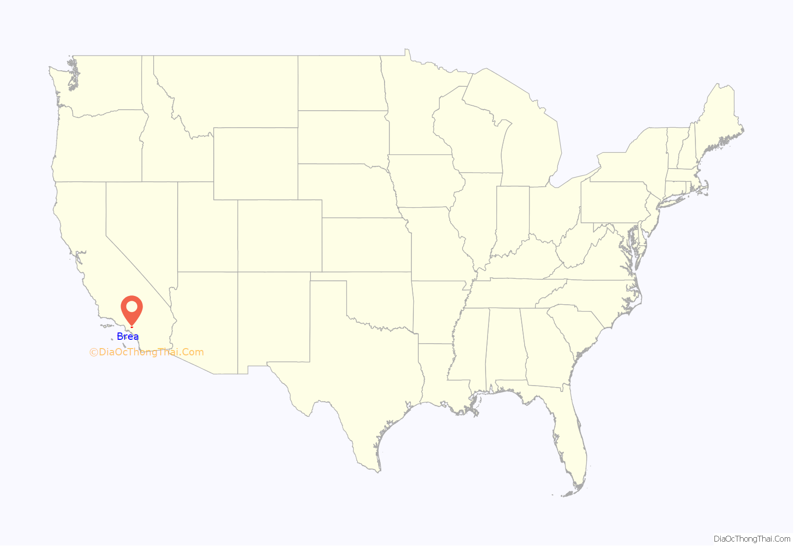
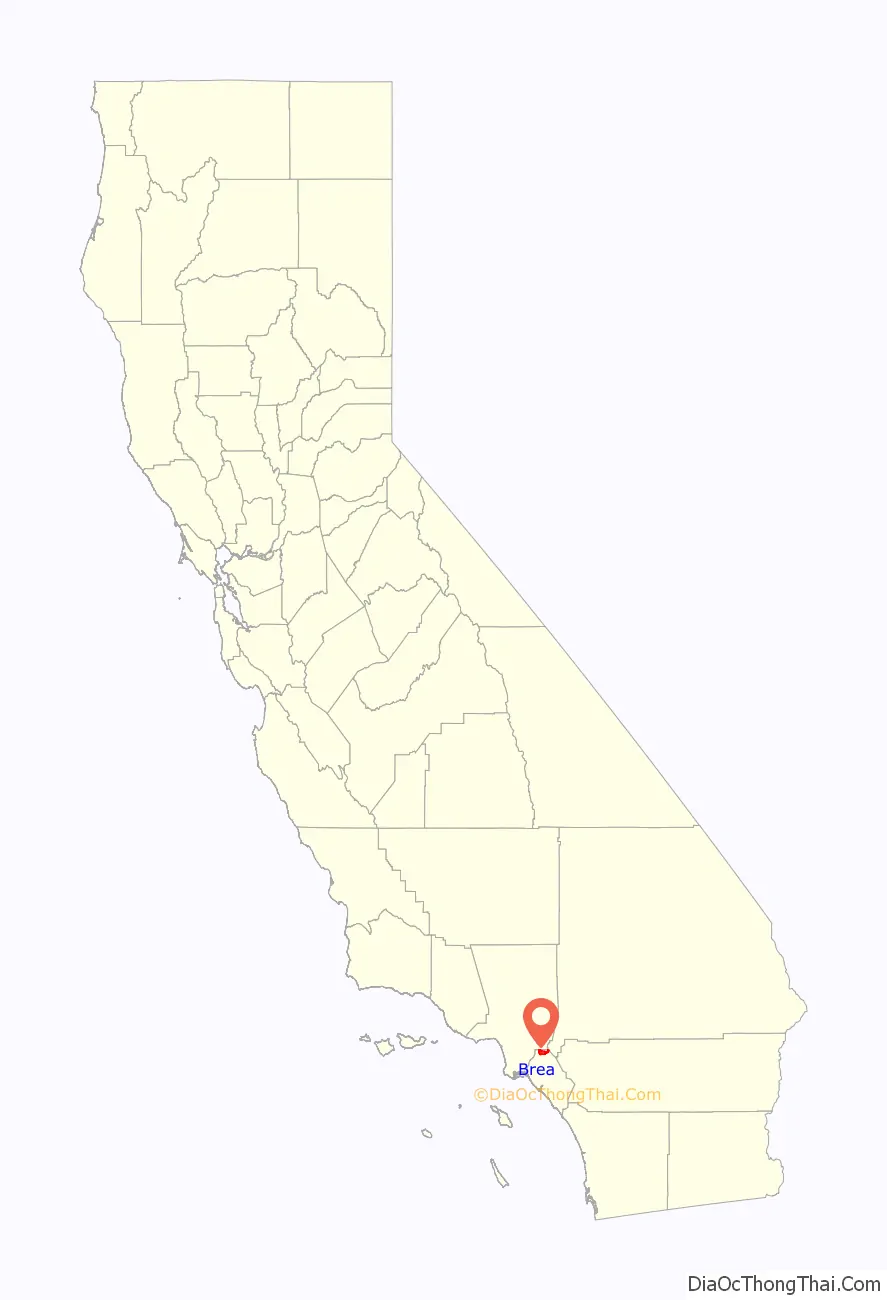
Brea location map. Where is Brea city?
History
Indigenous
The area began as part of the homelands of the Tongva, who lived in the area for thousands of years before any contact was made with Europeans. The tribe stewarded the land and established numerous villages in the area interconnected by extensive trails for travel and trade with neighboring Indigenous nations. The closest known village site to the city of Brea today is Hutuknga.
Spanish era
The area was visited on July 29, 1769, by the Spanish Portolá expedition – the first Europeans to see inland parts of Alta California. The party camped in Brea Canyon, near a large native village and a small pool of clean water. A historical marker dedicated to his visit stands in Brea Canyon just north of town.
The village of Olinda was founded in present-day Carbon Canyon at the beginning of the 19th century and many entrepreneurs came to the area searching for “black gold” (petroleum).
American era
In 1894, the owner of the land, Abel Stearns, sold 1,200 acres (4.9 km) west of Olinda to the newly created Union Oil Company of California, and by 1898 many nearby hills began sporting wooden oil drilling towers on the newly discovered Brea-Olinda Oil Field. In 1908 the village of Randolph, named for railway engineer Epes Randolph, was founded just south of Brea Canyon for oil workers and their families. Baseball legend Walter Johnson grew up in Olinda at the start of the 20th century where he worked in the surrounding oil fields as a youth.
The villages of Olinda and Randolph grew and merged as the economy boomed. On January 19, 1911, the town’s map was filed under the new name of Brea, from the Spanish language word for natural asphalt, also called bitumen, pitch or tar. With a population of 752, Brea was incorporated on February 23, 1917, as the eighth official city of Orange County.
As oil production declined, some agricultural development took place, especially lemon and orange groves. In the 1920s, the Brea Chamber of Commerce promoted the city with the slogan “Oil, Oranges, and Opportunity.”
In 1950, Brea had a population of 3,208, which is 641 more than ten years prior. The citrus groves gave way gradually to industrial parks and residential development. In 1956, Carl N. Karcher opened the first two Carl’s Jr. restaurants in Anaheim, California and Brea, California. The opening of the Orange Freeway (57) and the Brea Mall in the 1970s spurred further residential growth, including large planned developments east of the 57 Freeway in the 1980s, 1990s, and 2000s.
In the late 1990s, a 50-acre (200,000 m) swath of downtown Brea centered on Brea Boulevard and Birch Street was heavily redeveloped into a shopping and entertainment area with movie theaters, sidewalk cafes, a live comedy club from The Improv chain, numerous shops and restaurants, and a weekly farmer’s market. It is locally known and signed as Downtown Brea. The downtown area opened in 2000.
Sunset magazine named Brea one of the five best suburbs to live in the Western United States in early 2006.
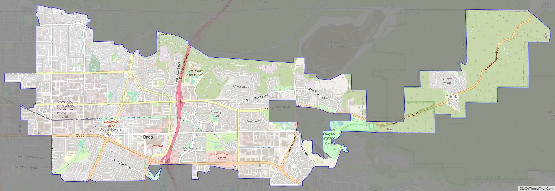
Brea Road Map
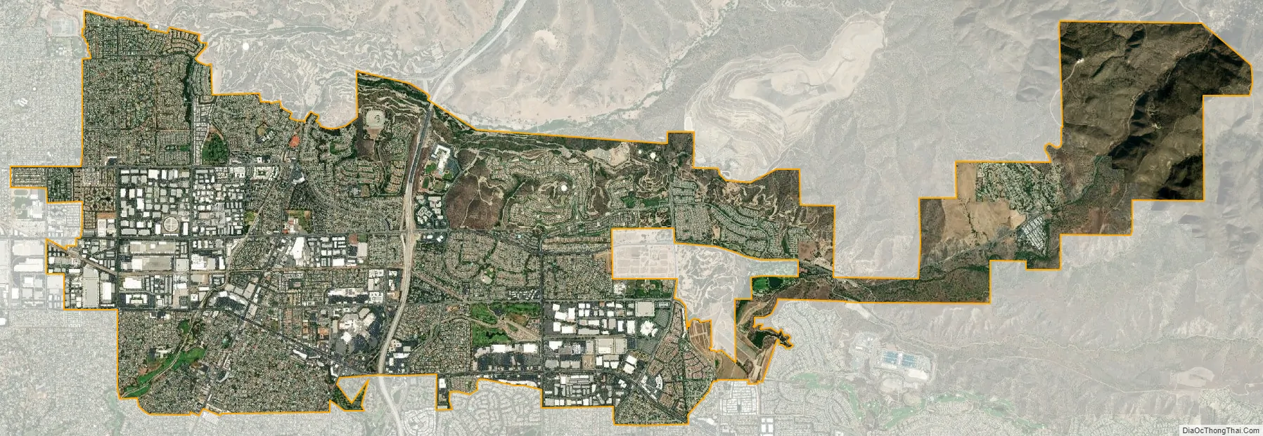
Brea city Satellite Map
Geography
According to the United States Census Bureau, the city has an area of 12.1 square miles (31 km). 12.1 square miles (31 km) of it is land and 0.26% is water.
It is bordered by unincorporated Orange County and Los Angeles County to the north and east, La Habra to the west, Fullerton to the southwest, Placentia to the south, and Yorba Linda to the southeast.
Climate
According to the Köppen Climate Classification system, Brea has a hot-summer Mediterranean climate, abbreviated “Csa” on climate maps.
See also
Map of California State and its subdivision:- Alameda
- Alpine
- Amador
- Butte
- Calaveras
- Colusa
- Contra Costa
- Del Norte
- El Dorado
- Fresno
- Glenn
- Humboldt
- Imperial
- Inyo
- Kern
- Kings
- Lake
- Lassen
- Los Angeles
- Madera
- Marin
- Mariposa
- Mendocino
- Merced
- Modoc
- Mono
- Monterey
- Napa
- Nevada
- Orange
- Placer
- Plumas
- Riverside
- Sacramento
- San Benito
- San Bernardino
- San Diego
- San Francisco
- San Joaquin
- San Luis Obispo
- San Mateo
- Santa Barbara
- Santa Clara
- Santa Cruz
- Shasta
- Sierra
- Siskiyou
- Solano
- Sonoma
- Stanislaus
- Sutter
- Tehama
- Trinity
- Tulare
- Tuolumne
- Ventura
- Yolo
- Yuba
- Alabama
- Alaska
- Arizona
- Arkansas
- California
- Colorado
- Connecticut
- Delaware
- District of Columbia
- Florida
- Georgia
- Hawaii
- Idaho
- Illinois
- Indiana
- Iowa
- Kansas
- Kentucky
- Louisiana
- Maine
- Maryland
- Massachusetts
- Michigan
- Minnesota
- Mississippi
- Missouri
- Montana
- Nebraska
- Nevada
- New Hampshire
- New Jersey
- New Mexico
- New York
- North Carolina
- North Dakota
- Ohio
- Oklahoma
- Oregon
- Pennsylvania
- Rhode Island
- South Carolina
- South Dakota
- Tennessee
- Texas
- Utah
- Vermont
- Virginia
- Washington
- West Virginia
- Wisconsin
- Wyoming


