Fountain Valley is a suburban city in Orange County, California. The population was 57,047 at the 2020 census.
| Name: | Fountain Valley city |
|---|---|
| LSAD Code: | 25 |
| LSAD Description: | city (suffix) |
| State: | California |
| County: | Orange County |
| Incorporated: | June 13, 1957 |
| Elevation: | 33 ft (10 m) |
| Total Area: | 9.08 sq mi (23.53 km²) |
| Land Area: | 9.07 sq mi (23.50 km²) |
| Water Area: | 0.01 sq mi (0.03 km²) 0.14% |
| Total Population: | 57,047 |
| Population Density: | 6,300/sq mi (2,400/km²) |
| ZIP code: | 92708, 92728 |
| FIPS code: | 0625380 |
| GNISfeature ID: | 1652712 |
| Website: | www.fountainvalley.org |
Online Interactive Map
Click on ![]() to view map in "full screen" mode.
to view map in "full screen" mode.
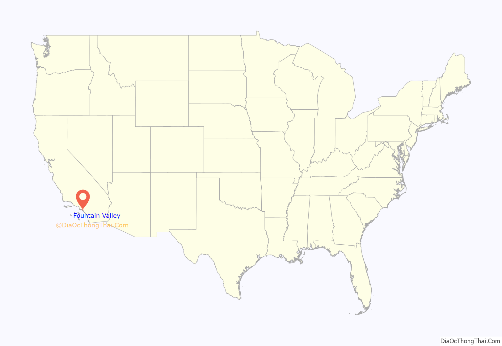
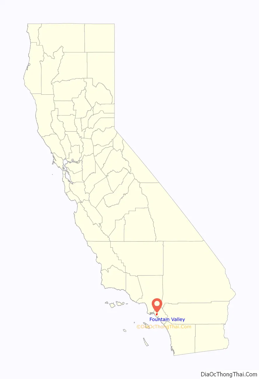
Fountain Valley location map. Where is Fountain Valley city?
History
Indigenous
The Indigenous people of the Fountain Valley area are the Tongva. The closest village to present-day site of the city was the village of Pasbenga. The village was part of a series of villages along what the Spanish would refer to as the Santa Ana River.
Spanish
European settlement of the area began when Manuel Nieto was granted the land for Rancho Los Nietos, later Rancho Las Bolsas, which encompassed over 300,000 acres (1,200 km), including present-day Fountain Valley. Control of the land was subsequently transferred to Mexico upon independence from Spain, and then to the United States as part of the Treaty of Guadalupe Hidalgo.
Talbert
Talbert was a settlement at what is now the intersection of Talbert and Bushard. It was also known as Gospel Swamp by residents.
Thomas B. Talbert was born outside Montecello in Piatt County, Illinois, in 1878. When Talbert was 13, his family moved to Long Beach, California. Around 1896, the family purchased more than 300 acres (120 ha) of peat and swampland in what is now Fountain Valley. The Talberts opened a general store and thus the settlement of Talbert was established.
The area was full of farms growing beets that were processed at some of the nation’s largest plants at Huntington Beach (Holly Sugar Plant) and at Delhi, now part of southwestern Santa Ana. The post office was established in 1899, with Thomas B. Talbert serving as the first postmaster.
The All-Saints Church is the only structure remaining from that era. The Santa Ana-Huntington Beach line of the Pacific Electric Railway passed through Talbert and opened on July 5, 1909.
Incorporation
The city was incorporated in 1957. The name of Fountain Valley refers to the very high water table in the area at the time the name was chosen, and the many corresponding artesian wells in the area. Early settlers constructed drainage canals to make the land usable for agriculture, which remained the dominant use of land until the 1960s, when construction of large housing tracts accelerated. The first mayor of Fountain Valley was James Kanno, who with this appointment became one of the first Japanese-American mayors of a mainland United States city.
After the Fall of Saigon in 1975, there was a large influx of Vietnamese refugees settling in Fountain Valley, especially in the late 1970s and throughout the 1980s, forming a large percentage of Asian Americans in the city.
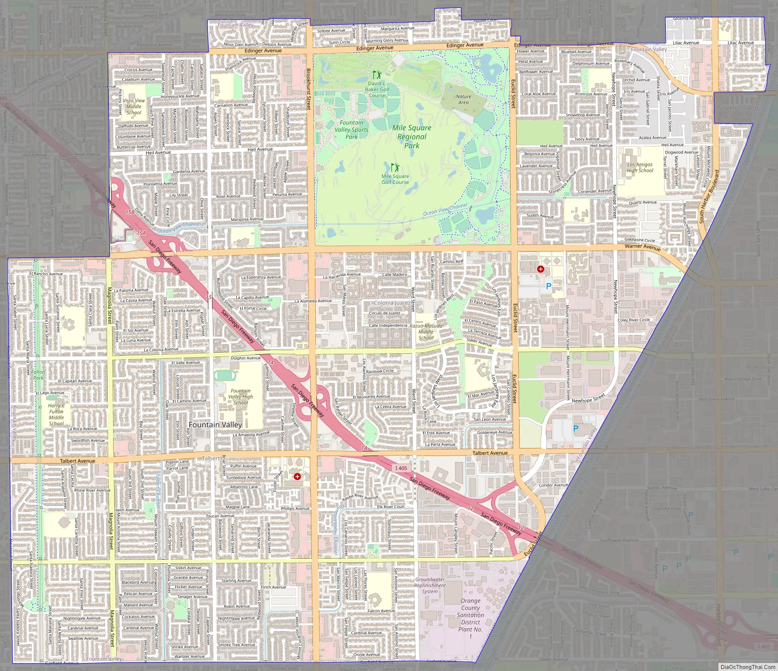
Fountain Valley Road Map
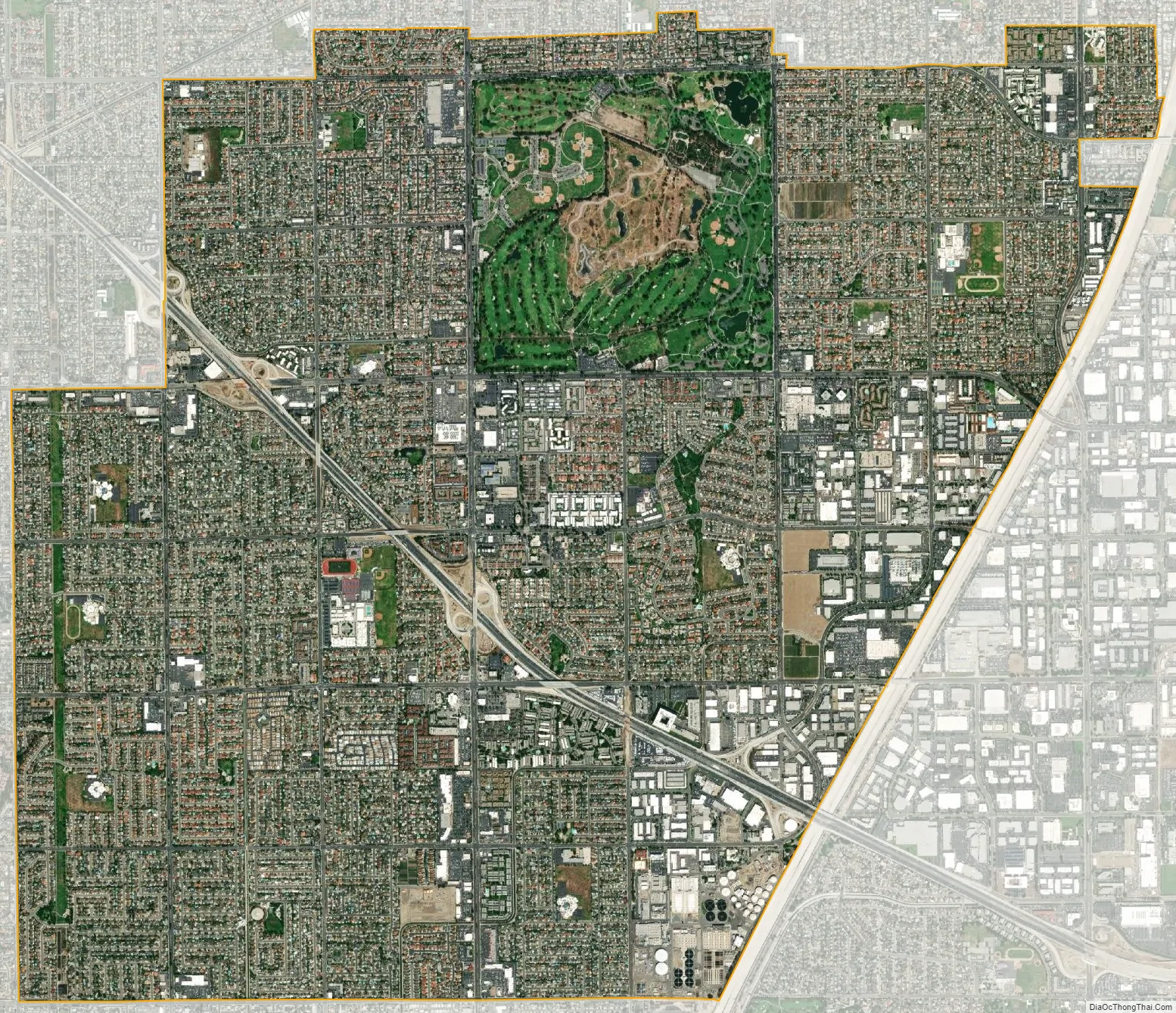
Fountain Valley city Satellite Map
Geography
The city is located southwest and northeast of the San Diego Freeway (Interstate 405), which diagonally bisects the city, and is surrounded by Huntington Beach on the south and west, Westminster and Garden Grove on the north, Santa Ana on the northeast, and Costa Mesa on the southeast. Its eastern border is the Santa Ana River.
According to the United States Census Bureau, the city has a total area of 23.4 km (9.0 sq mi), 0.14% of which is water.
See also
Map of California State and its subdivision:- Alameda
- Alpine
- Amador
- Butte
- Calaveras
- Colusa
- Contra Costa
- Del Norte
- El Dorado
- Fresno
- Glenn
- Humboldt
- Imperial
- Inyo
- Kern
- Kings
- Lake
- Lassen
- Los Angeles
- Madera
- Marin
- Mariposa
- Mendocino
- Merced
- Modoc
- Mono
- Monterey
- Napa
- Nevada
- Orange
- Placer
- Plumas
- Riverside
- Sacramento
- San Benito
- San Bernardino
- San Diego
- San Francisco
- San Joaquin
- San Luis Obispo
- San Mateo
- Santa Barbara
- Santa Clara
- Santa Cruz
- Shasta
- Sierra
- Siskiyou
- Solano
- Sonoma
- Stanislaus
- Sutter
- Tehama
- Trinity
- Tulare
- Tuolumne
- Ventura
- Yolo
- Yuba
- Alabama
- Alaska
- Arizona
- Arkansas
- California
- Colorado
- Connecticut
- Delaware
- District of Columbia
- Florida
- Georgia
- Hawaii
- Idaho
- Illinois
- Indiana
- Iowa
- Kansas
- Kentucky
- Louisiana
- Maine
- Maryland
- Massachusetts
- Michigan
- Minnesota
- Mississippi
- Missouri
- Montana
- Nebraska
- Nevada
- New Hampshire
- New Jersey
- New Mexico
- New York
- North Carolina
- North Dakota
- Ohio
- Oklahoma
- Oregon
- Pennsylvania
- Rhode Island
- South Carolina
- South Dakota
- Tennessee
- Texas
- Utah
- Vermont
- Virginia
- Washington
- West Virginia
- Wisconsin
- Wyoming


