Aptos Hills-Larkin Valley is an unincorporated community in Santa Cruz County, California, United States. It is identified as one of several small communities with a combined population of 24,402 forming the unincorporated town of Aptos by the local Chamber of Commerce along with:
- Cabrillo
- Seacliff, south of State Route 1, west of Aptos Creek
- Rio Del Mar, south of State Route 1, from Aptos Creek southeast to Seascape
- Seascape, south of State Route 1, centered on Seascape Beach Resort
For statistical purposes, the United States Census Bureau has defined Aptos Hills-Larkin Valley as a census-designated place (CDP). The census definition of the area may not precisely correspond to local understanding of the area with the same name. The population was 2,383 as of the 2020 United States census.
| Name: | Aptos Hills-Larkin Valley CDP |
|---|---|
| LSAD Code: | 57 |
| LSAD Description: | CDP (suffix) |
| State: | California |
| County: | Santa Cruz County |
| Total Area: | 9.29 sq mi (24.07 km²) |
| Land Area: | 9.26 sq mi (23.98 km²) |
| Water Area: | 0.03 sq mi (0.09 km²) 0.36% |
| Total Population: | 2,383 |
| Population Density: | 257.34/sq mi (99.36/km²) |
| ZIP code: | 95003, 95076 |
| Area code: | 831 |
| FIPS code: | 0602382 |
| GNISfeature ID: | 2407751 |
Online Interactive Map
Click on ![]() to view map in "full screen" mode.
to view map in "full screen" mode.
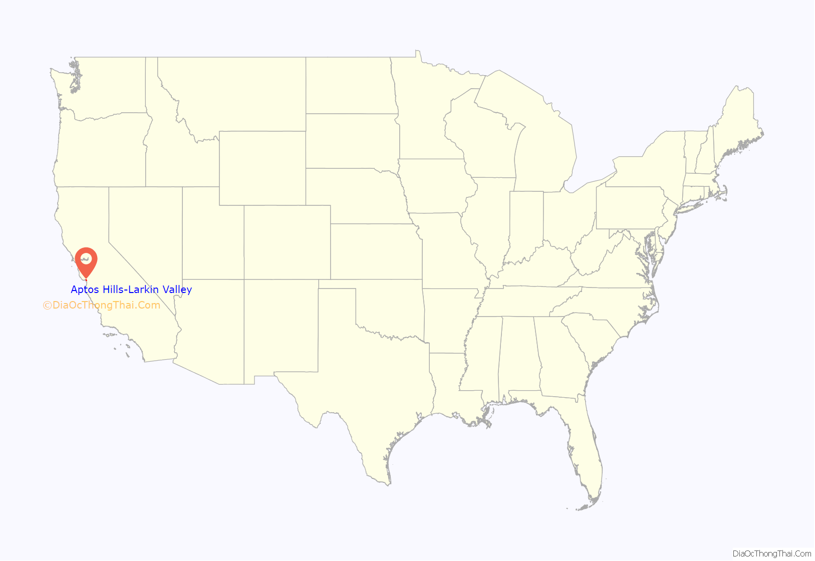
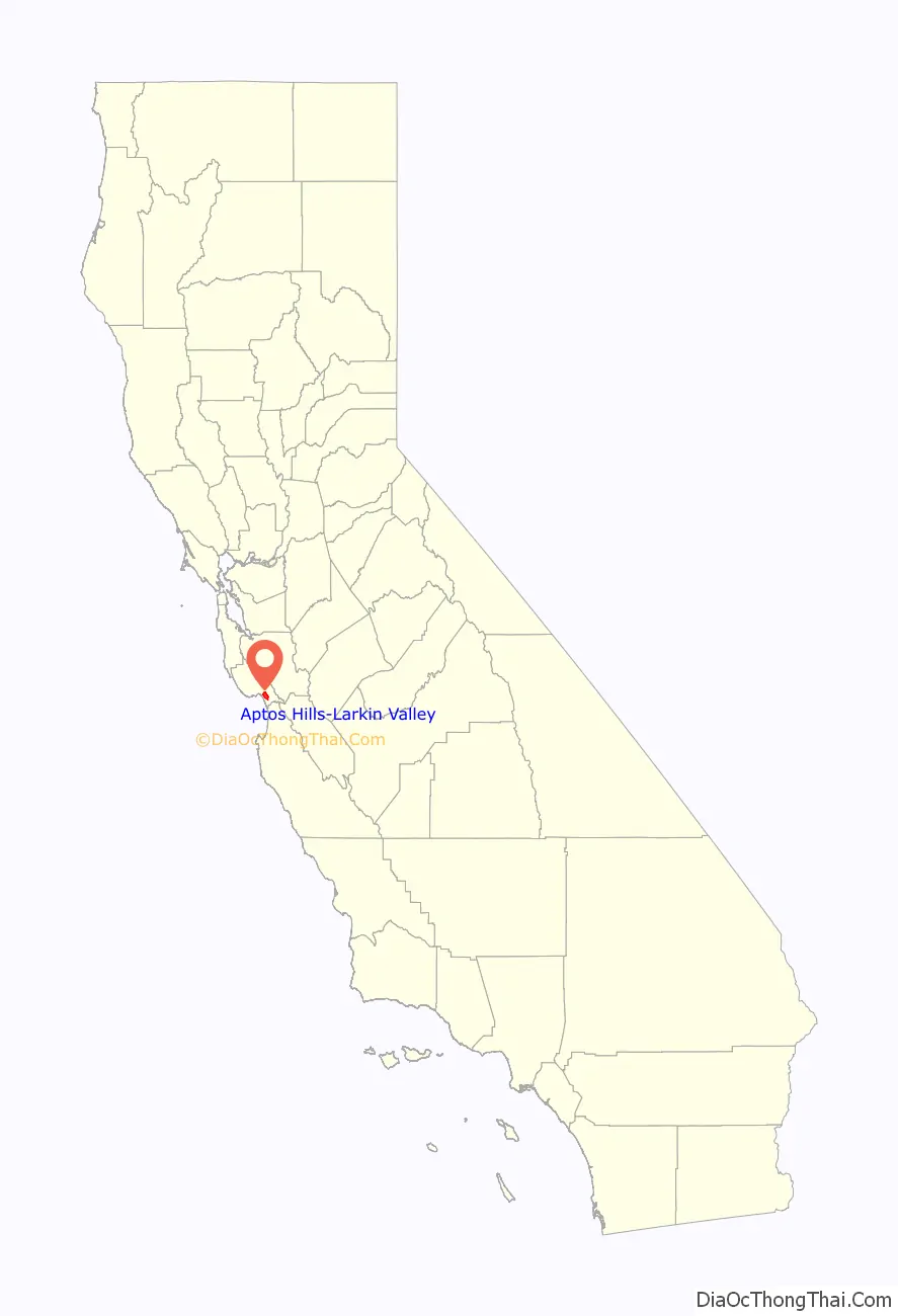
Aptos Hills-Larkin Valley location map. Where is Aptos Hills-Larkin Valley CDP?
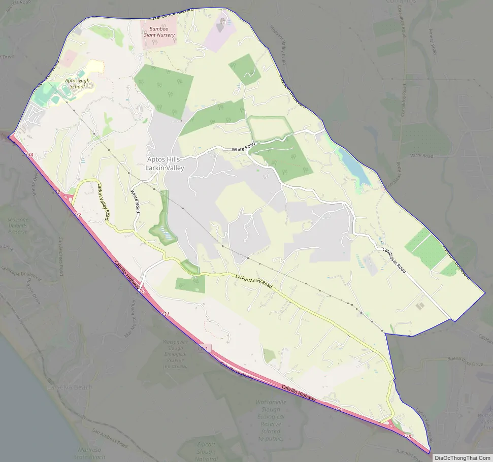
Aptos Hills-Larkin Valley Road Map
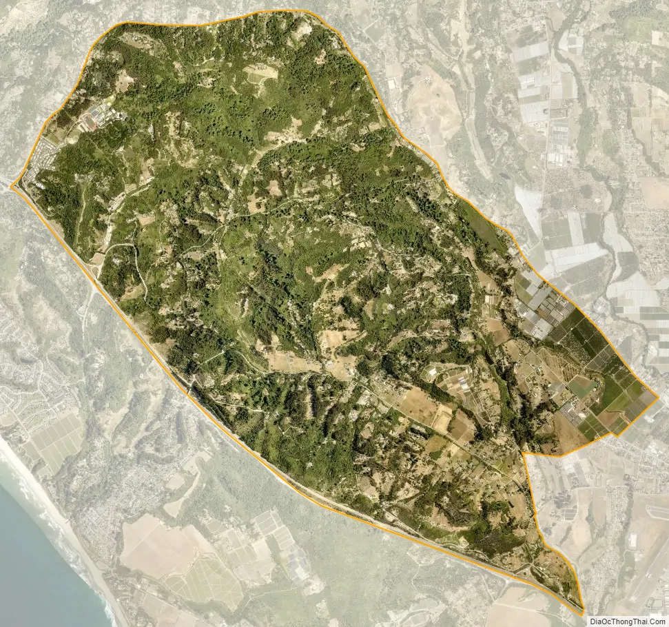
Aptos Hills-Larkin Valley city Satellite Map
Geography
Aptos Hills-Larkin Valley is located at 36°57′39″N 121°49′53″W / 36.96083°N 121.83139°W / 36.96083; -121.83139 (36.960860, -121.831386).
According to the United States Census Bureau, the CDP has a total area of 9.3 square miles (24 km), of which, 9.2 square miles (24 km) of it is land and 0.03 square miles (0.078 km) of it (0.36%) is water.
See also
Map of California State and its subdivision:- Alameda
- Alpine
- Amador
- Butte
- Calaveras
- Colusa
- Contra Costa
- Del Norte
- El Dorado
- Fresno
- Glenn
- Humboldt
- Imperial
- Inyo
- Kern
- Kings
- Lake
- Lassen
- Los Angeles
- Madera
- Marin
- Mariposa
- Mendocino
- Merced
- Modoc
- Mono
- Monterey
- Napa
- Nevada
- Orange
- Placer
- Plumas
- Riverside
- Sacramento
- San Benito
- San Bernardino
- San Diego
- San Francisco
- San Joaquin
- San Luis Obispo
- San Mateo
- Santa Barbara
- Santa Clara
- Santa Cruz
- Shasta
- Sierra
- Siskiyou
- Solano
- Sonoma
- Stanislaus
- Sutter
- Tehama
- Trinity
- Tulare
- Tuolumne
- Ventura
- Yolo
- Yuba
- Alabama
- Alaska
- Arizona
- Arkansas
- California
- Colorado
- Connecticut
- Delaware
- District of Columbia
- Florida
- Georgia
- Hawaii
- Idaho
- Illinois
- Indiana
- Iowa
- Kansas
- Kentucky
- Louisiana
- Maine
- Maryland
- Massachusetts
- Michigan
- Minnesota
- Mississippi
- Missouri
- Montana
- Nebraska
- Nevada
- New Hampshire
- New Jersey
- New Mexico
- New York
- North Carolina
- North Dakota
- Ohio
- Oklahoma
- Oregon
- Pennsylvania
- Rhode Island
- South Carolina
- South Dakota
- Tennessee
- Texas
- Utah
- Vermont
- Virginia
- Washington
- West Virginia
- Wisconsin
- Wyoming


