Auburn is a city in and the county seat of Placer County, California, United States. Its population was 13,776 during the 2020 census. Auburn is known for its California Gold Rush history and is registered as a California Historical Landmark.
Auburn is part of the Sacramento metropolitan area.
| Name: | Auburn city |
|---|---|
| LSAD Code: | 25 |
| LSAD Description: | city (suffix) |
| State: | California |
| County: | Placer County |
| Incorporated: | May 2, 1888 |
| Elevation: | 1,227 ft (374 m) |
| Land Area: | 7.18 sq mi (18.59 km²) |
| Water Area: | 0.03 sq mi (0.07 km²) 0.38% |
| Population Density: | 1,919.46/sq mi (741.10/km²) |
| ZIP code: | 95602-95604 |
| Area code: | 530 |
| FIPS code: | 0603204 |
| Website: | auburn.ca.gov |
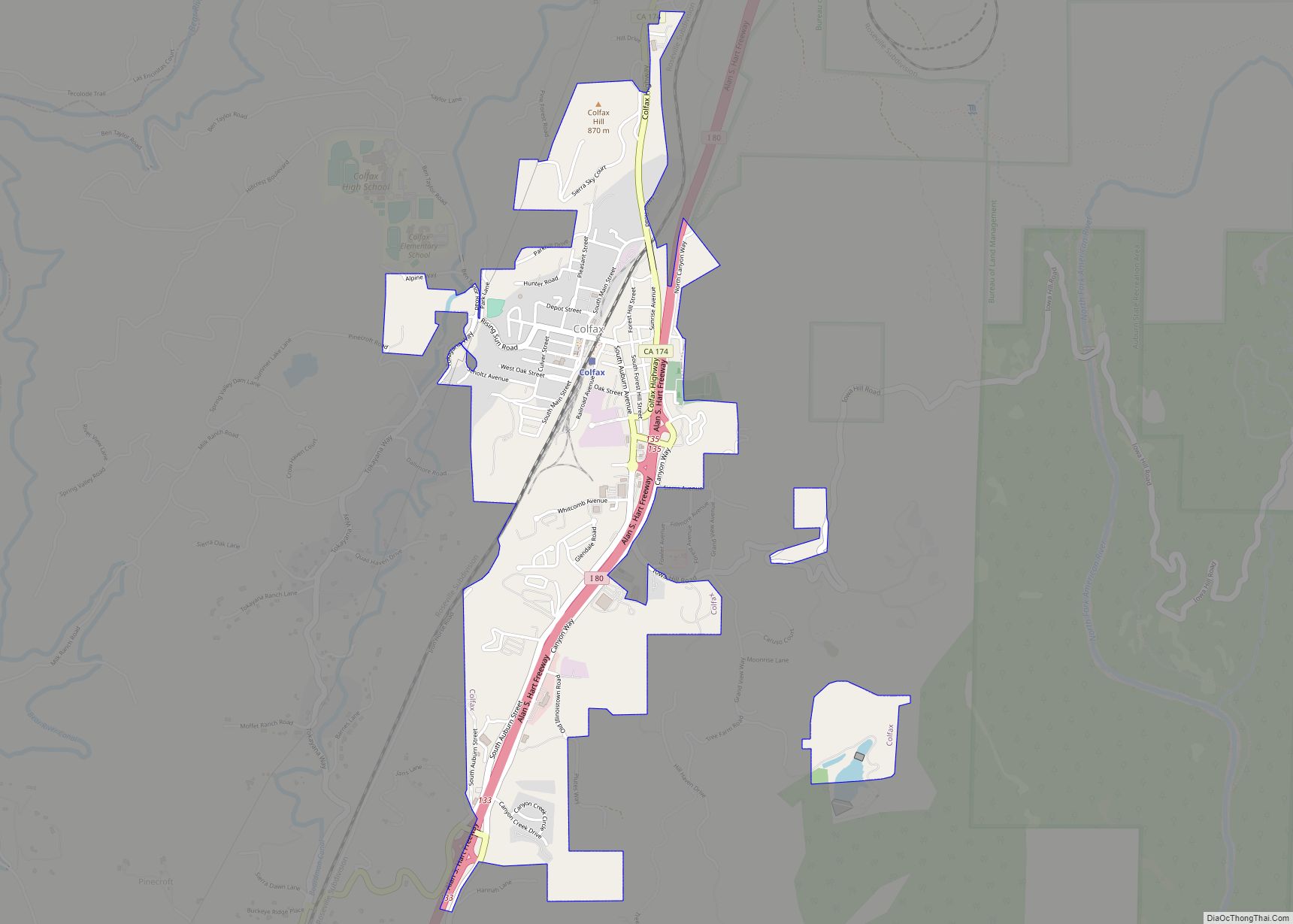
Online Interactive Map
Click on ![]() to view map in "full screen" mode.
to view map in "full screen" mode.
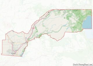
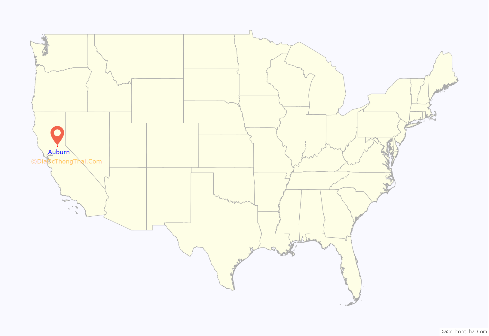
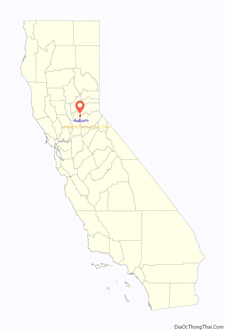
Auburn location map. Where is Auburn city?
History
Archaeological finds place the southwestern border for the prehistoric Martis people in the Auburn area. The indigenous Nisenan, an offshoot of the Maidu, were the first to establish a permanent settlement in the Auburn area.
In the spring of 1848, a group of French gold miners arrived and camped in what would later be known as the Auburn Ravine. This group was on its way to the gold fields in Coloma, California, and it included Francois Gendron, Philibert Courteau, and Claude Chana. The young Chana discovered gold on May 16, 1848. After finding the gold deposits in the soil, the trio decided to stay for more prospecting and mining.
Placer mining in the Auburn area was very good, with the camp first becoming known as the North Fork Dry Diggings. This name was changed to the Woods Dry Diggings, after John S. Wood settled down, built a cabin, and started to mine in the ravine. The area soon developed into a mining camp, and it was officially named Auburn in August 1849, by miners from Auburn, New York. By 1850, the town’s population had grown to about 1,500 people, and in 1851, Auburn was chosen as the seat of Placer County. Gold mining operations moved up the ravine to the site of present-day Auburn. In 1865, the Central Pacific Railroad, the western leg of the First transcontinental railroad, reached Auburn, as it was being built east from Sacramento toward Ogden, Utah.
The restored Old Town has houses and retail buildings from the middle of the 19th century. The oldest fire station and the Post Office date from the Gold Rush years. Casual gold-mining accessories, as well as American Indian and Chinese artifacts, can also be viewed by visitors at the Placer County Museum. Auburn was the home and birthplace of noted science fiction and fantasy poet and writer Clark Ashton Smith. A memorial to him is located near Old Town.
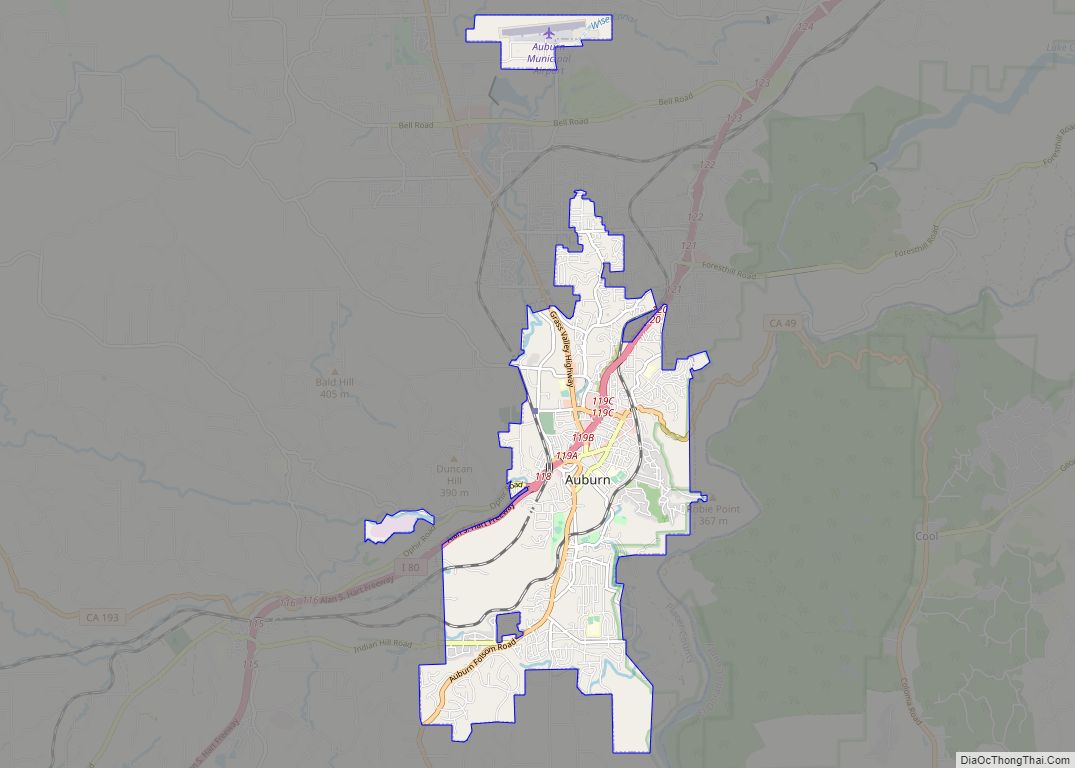
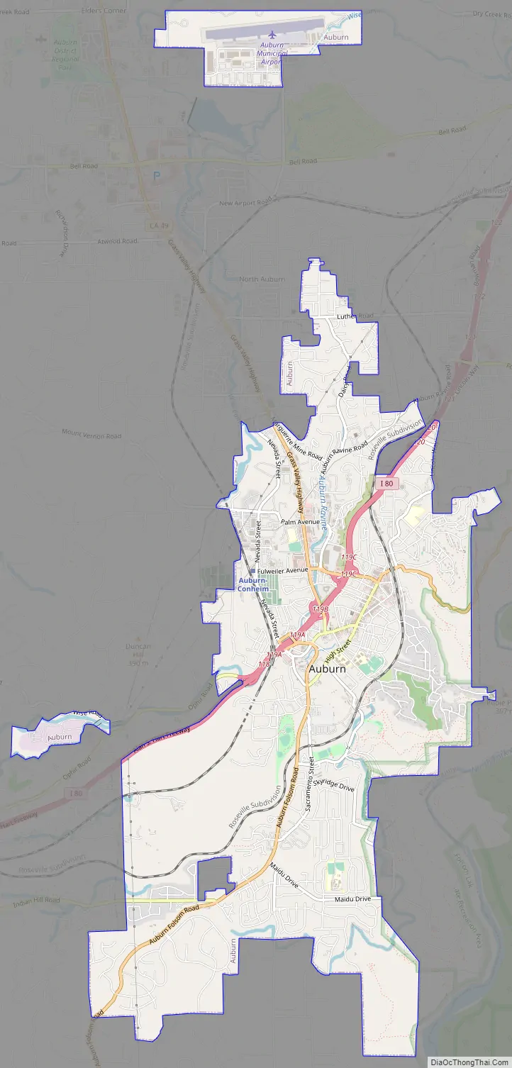
Auburn Road Map
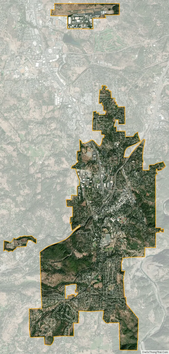
Auburn city Satellite Map
Geography
Auburn is located at 38°53′55″N 121°04′28″W / 38.898671°N 121.074399°W / 38.898671; -121.074399.
According to the United States Census Bureau, the city has a total area of 7.2 square miles (19 km), of which 0.03 square miles (0.078 km), or 0.38%, is water.
Auburn is situated in the Northern California foothills of the Sierra Nevada range, approximately 800 vertical feet above the confluence of the North Fork and Middle Fork of the American River. It is located between Sacramento and Reno, Nevada, along Interstate 80. Mountainous wilderness canyons and the western slope of the Sierra Nevada lie adjacent eastward, while gentle rolling foothills well-suited for agriculture lie to the west. The crest of the Sierra Nevada lies approximately 45 miles (72 km) eastward, and the Central Valley lies approximately ten miles to the west.
Climate
Auburn has a hot-summer Mediterranean climate (Köppen Csa) that is characterized by cool, moist winters and hot, dry summers. Average December temperatures are a maximum of 54.4 °F (12.4 °C) and a minimum of 39 °F (4 °C). Average July temperatures are a maximum of 94.0 °F (34.4 °C) and a minimum of 61.0 °F (16.1 °C). Annually, there are an average of 59.4 days with highs of 90 °F (32 °C) or higher, an average of 7.0 days with 100 °F (38 °C) or higher, and an average of 17.1 days with 32 °F (0 °C) or lower. The record high temperature was 113 °F (45 °C) on July 15, 1972. The record low temperature was 5 °F (−15 °C) on December 9, 2013.
Average annual precipitation is 37.36 inches (949 mm). There are an average of 70 days with measurable precipitation. The wettest year was 1983 with 64.87 inches (1,648 mm) and the driest year was 1976 with 11.76 inches (299 mm). The most precipitation in one month was 23.08 inches (586 mm) in January 1909. The most precipitation in 24 hours was 5.41 inches (137 mm) on October 13, 1962, during the Columbus Day Storm. Snow rarely falls in Auburn; average annual snowfall is one inch (2.5 cm) or less. The most snowfall in one year was 10.7 inches (27 cm) in 1972, including 6.5 inches (17 cm) in January of that year.
Auburn’s Köppen classification and climate similarities to locations such as Napa, California, and parts of Italy make it a suitable region for growing wine grapes. Auburn and the surrounding areas of Placer County are home to over 20 wineries.
See also
Map of California State and its subdivision:- Alameda
- Alpine
- Amador
- Butte
- Calaveras
- Colusa
- Contra Costa
- Del Norte
- El Dorado
- Fresno
- Glenn
- Humboldt
- Imperial
- Inyo
- Kern
- Kings
- Lake
- Lassen
- Los Angeles
- Madera
- Marin
- Mariposa
- Mendocino
- Merced
- Modoc
- Mono
- Monterey
- Napa
- Nevada
- Orange
- Placer
- Plumas
- Riverside
- Sacramento
- San Benito
- San Bernardino
- San Diego
- San Francisco
- San Joaquin
- San Luis Obispo
- San Mateo
- Santa Barbara
- Santa Clara
- Santa Cruz
- Shasta
- Sierra
- Siskiyou
- Solano
- Sonoma
- Stanislaus
- Sutter
- Tehama
- Trinity
- Tulare
- Tuolumne
- Ventura
- Yolo
- Yuba
- Alabama
- Alaska
- Arizona
- Arkansas
- California
- Colorado
- Connecticut
- Delaware
- District of Columbia
- Florida
- Georgia
- Hawaii
- Idaho
- Illinois
- Indiana
- Iowa
- Kansas
- Kentucky
- Louisiana
- Maine
- Maryland
- Massachusetts
- Michigan
- Minnesota
- Mississippi
- Missouri
- Montana
- Nebraska
- Nevada
- New Hampshire
- New Jersey
- New Mexico
- New York
- North Carolina
- North Dakota
- Ohio
- Oklahoma
- Oregon
- Pennsylvania
- Rhode Island
- South Carolina
- South Dakota
- Tennessee
- Texas
- Utah
- Vermont
- Virginia
- Washington
- West Virginia
- Wisconsin
- Wyoming