Baker is a census-designated place located in San Bernardino County, California, US. As of the 2010 census, the CDP had a total population of 735. Baker’s ZIP Code is 92309 and the community is within area codes 442 and 760.
| Name: | Baker CDP |
|---|---|
| LSAD Code: | 57 |
| LSAD Description: | CDP (suffix) |
| State: | California |
| County: | San Bernardino County |
| Elevation: | 942 ft (287 m) |
| Total Area: | 2.69 sq mi (6.96 km²) |
| Land Area: | 2.69 sq mi (6.96 km²) |
| Water Area: | 0.00 sq mi (0.00 km²) 0% |
| Total Population: | 442 |
| Population Density: | 164.43/sq mi (63.49/km²) |
| ZIP code: | 92309 |
| FIPS code: | 0603512 |
Online Interactive Map
Click on ![]() to view map in "full screen" mode.
to view map in "full screen" mode.
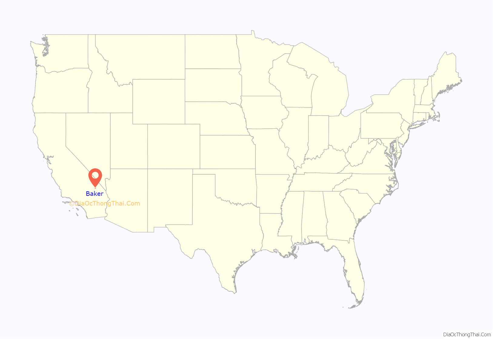
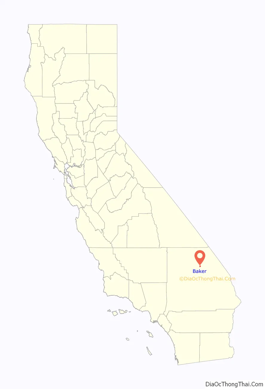
Baker location map. Where is Baker CDP?
History
Baker was founded as a station on the Tonopah and Tidewater Railroad in 1908 and was named for Richard C. Baker, business partner of Francis Marion Smith in building the railroad. Baker later became president of the T&T himself.
Baker was established in 1929 by Ralph Jacobus Fairbanks (1857–1942), who was an American prospector, entrepreneur, and pioneer who established several towns in the Death Valley area of California, including Fairbanks Springs (1904–05) and Shoshone (1910).
It is the site of a vacant, 223-bed for-profit prison formerly operated by Cornell Corrections which experienced a major riot on December 2, 2003, four weeks before it was temporarily closed. It was permanently closed on December 25, 2009. GEO Group purchased Cornell Companies, its owner, on August 12, 2010. It had previously experienced escapes in August and November 1995 and two on July 15, 1997.
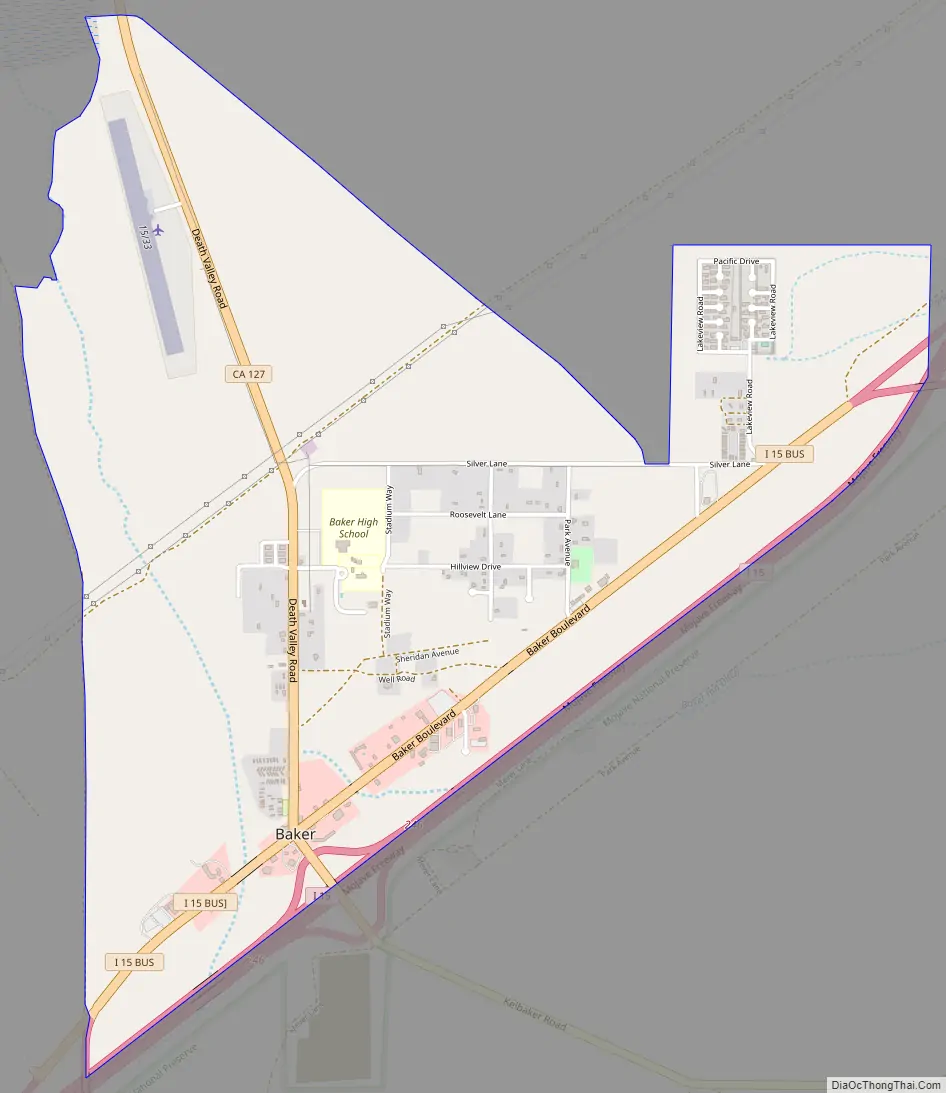
Baker Road Map
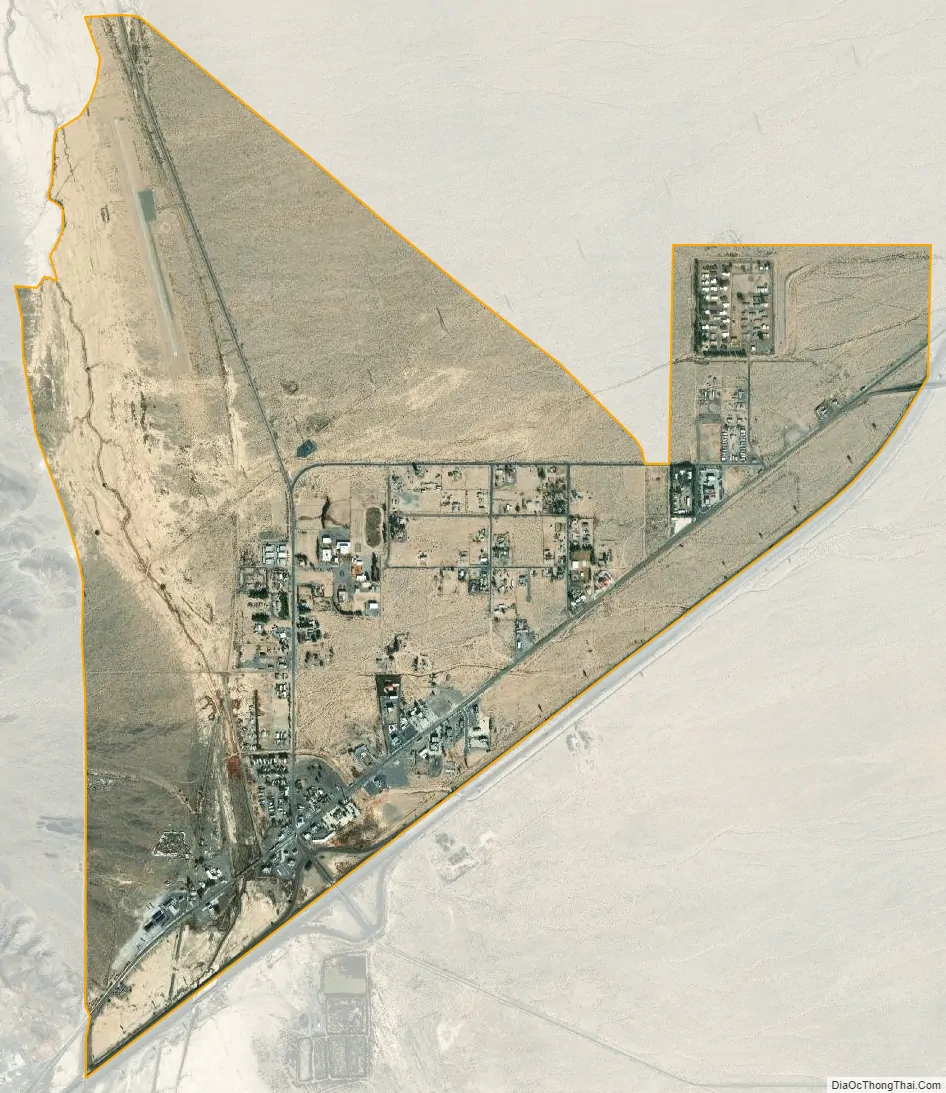
Baker city Satellite Map
Geography
Baker is located at (35.265099, -116.074768). Baker is located in the Mojave Desert at the junction of Interstate 15 and SR 127 (Death Valley Road). Its elevation is approximately 930 feet (283.5 m) above sea level, which is much lower than either Barstow or Las Vegas, due to its location at the southern end of the Death Valley geological depression. The Cronese Mountains are located southwest of the community. According to the United States Census Bureau, the CDP covers an area of 2.7 square miles (7.0 km), all of it land. Summer temperatures in Baker routinely exceed 110 °F (43.3 °C); 2007 saw a record of 125 °F (51.7 °C).
See also
Map of California State and its subdivision:- Alameda
- Alpine
- Amador
- Butte
- Calaveras
- Colusa
- Contra Costa
- Del Norte
- El Dorado
- Fresno
- Glenn
- Humboldt
- Imperial
- Inyo
- Kern
- Kings
- Lake
- Lassen
- Los Angeles
- Madera
- Marin
- Mariposa
- Mendocino
- Merced
- Modoc
- Mono
- Monterey
- Napa
- Nevada
- Orange
- Placer
- Plumas
- Riverside
- Sacramento
- San Benito
- San Bernardino
- San Diego
- San Francisco
- San Joaquin
- San Luis Obispo
- San Mateo
- Santa Barbara
- Santa Clara
- Santa Cruz
- Shasta
- Sierra
- Siskiyou
- Solano
- Sonoma
- Stanislaus
- Sutter
- Tehama
- Trinity
- Tulare
- Tuolumne
- Ventura
- Yolo
- Yuba
- Alabama
- Alaska
- Arizona
- Arkansas
- California
- Colorado
- Connecticut
- Delaware
- District of Columbia
- Florida
- Georgia
- Hawaii
- Idaho
- Illinois
- Indiana
- Iowa
- Kansas
- Kentucky
- Louisiana
- Maine
- Maryland
- Massachusetts
- Michigan
- Minnesota
- Mississippi
- Missouri
- Montana
- Nebraska
- Nevada
- New Hampshire
- New Jersey
- New Mexico
- New York
- North Carolina
- North Dakota
- Ohio
- Oklahoma
- Oregon
- Pennsylvania
- Rhode Island
- South Carolina
- South Dakota
- Tennessee
- Texas
- Utah
- Vermont
- Virginia
- Washington
- West Virginia
- Wisconsin
- Wyoming


