Big Bear City is an unincorporated community in San Bernardino County, California, United States along the east shore of Big Bear Lake and surrounded by the San Bernardino National Forest. It is 27 miles (43 km) northeast of the city of San Bernardino, and immediately east of the incorporated city of Big Bear Lake. For statistical purposes, the United States Census Bureau has defined Big Bear City as a census-designated place (CDP). Its population was 12,304 at the 2010 census, up from 5,779 at the 2000 census. Big Bear City is mostly residential, with smaller houses and cabins laid out in typical square block fashion. Big Bear is on the Pacific Crest Trail.
Standard Air Lines of Los Angeles began a regular airline service to the community in the summer of 1929. Its post office was founded as Van Duesen in 1927 but changed its name to Big Bear City six months later. The Big Bear City Post Office opened in 1928 and still operates.
Despite the name, Big Bear City is not an incorporated city, and should not be confused with the adjacent incorporated city of Big Bear Lake.
| Name: | Big Bear City CDP |
|---|---|
| LSAD Code: | 57 |
| LSAD Description: | CDP (suffix) |
| State: | California |
| County: | San Bernardino County |
| Elevation: | 6,772 ft (2,064 m) |
| Land Area: | 32.02 sq mi (82.92 km²) |
| Water Area: | 0.02 sq mi (0.04 km²) 0.05% |
| Population Density: | 397.88/sq mi (153.62/km²) |
| Area code: | 909 |
| FIPS code: | 0606406 |
Online Interactive Map
Click on ![]() to view map in "full screen" mode.
to view map in "full screen" mode.
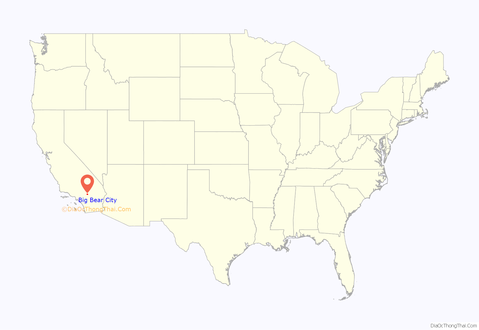
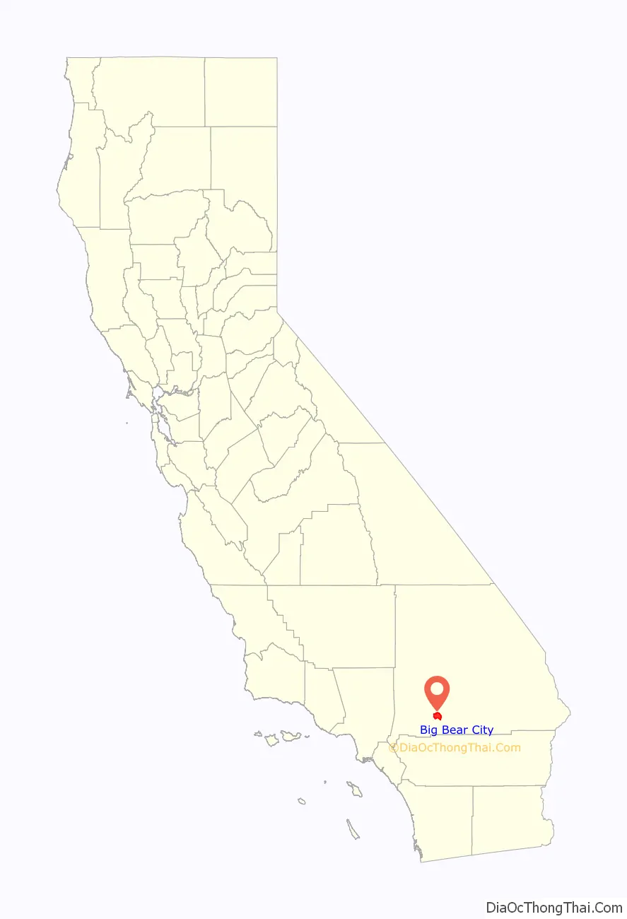
Big Bear City location map. Where is Big Bear City CDP?
History
Pre-colonial period
The first humans to inhabit Big Bear Valley were the Serrano Indians, who trace their beginnings to Bear Valley. Serrano means mountaineers, or those of the Sierras. The Serrano people that settled much of the San Bernardino Mountains, called themselves Yuhaviatam, or: people of the pines.
It is estimated that the Serrano natives first settled in Big Bear between 1,500 and 2,000 years ago. The Serranos had both winter and summer settlements throughout the area. While their winter village was located in Lucerne Valley, they relocated to villages in the San Bernardino mountains during summer, as the altitude provided cooler temperatures. Villages were often located by rivers and lakes, however, mountain hunting camps were also established on higher elevations. Besides hunting, they also consumed pinyon nuts, mesquite beans, screw-beans, juniper berries and seeds. One of four major Serrano ethnographic sites was located in Big Bear City, called: Kayah-pia-t. Big Bear, and Lucerne Valley clans, both belonged to the same tribe: the Coyote Pervetum.
Settling here because of the region’s many natural resources, they harvested acorns and herbs, but also hunted deer, rabbits, and other wildlife. A number of mortar holes can be seen in Big Bear City; these holes made by the Serranos, were utilized to ground acorns into meals. The oldest known remains of a human settlement in Big Bear Valley can be seen at the Indian Grinding Rocks in Big Bear City, called: The Eye of God, which is a sacred site to the Serrano people. The Serrano’s creation narrative took place at The Eye of God, which was known as Hatauva.
The earliest known contact with European settlers in Big Bear occurred when Spanish Father Francisco Garcés arrived during his 1774-1776 expedition. Another source states, that the first contact happened in 1845 during a punitive expedition against the Native-Americans.
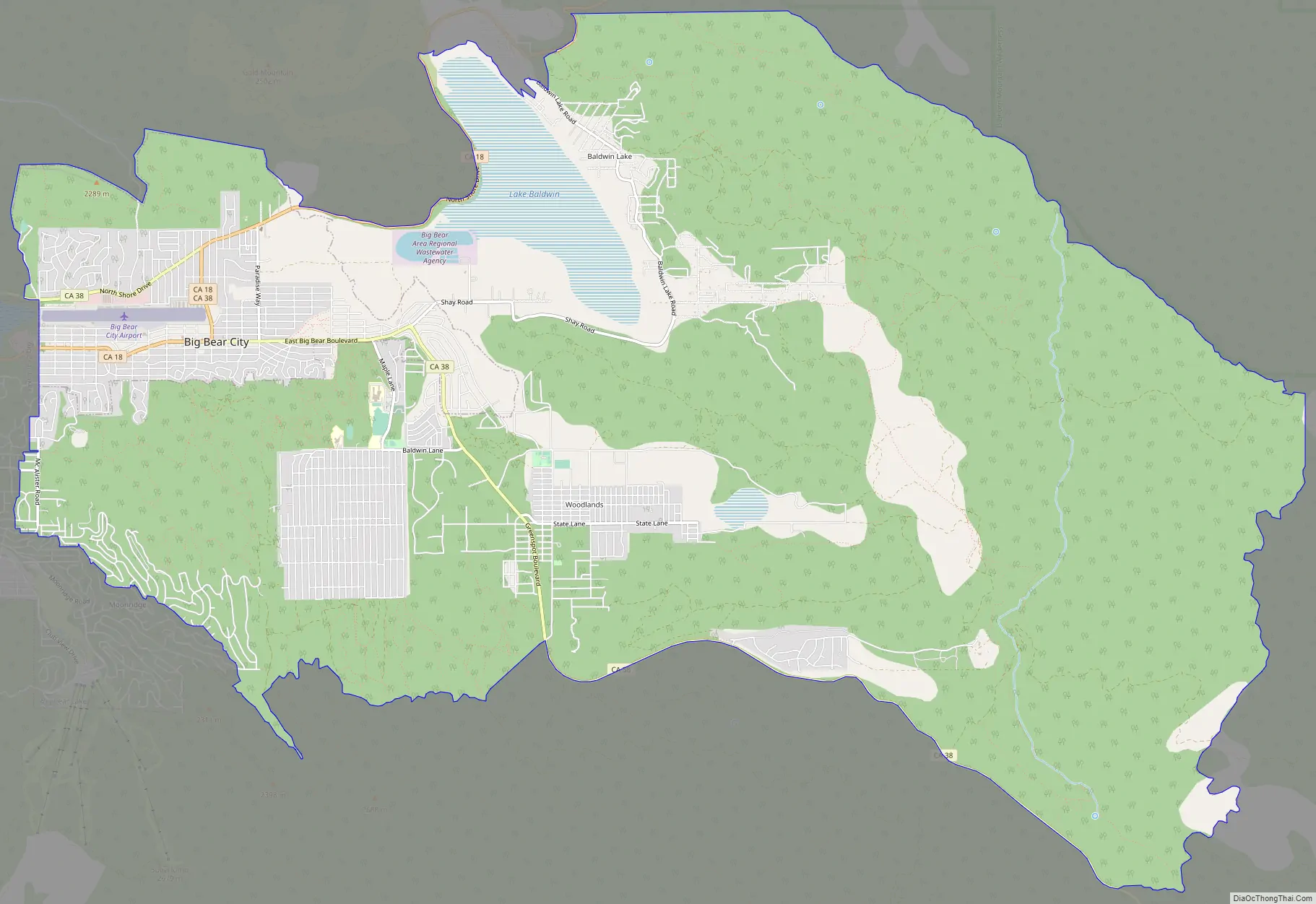
Big Bear City Road Map
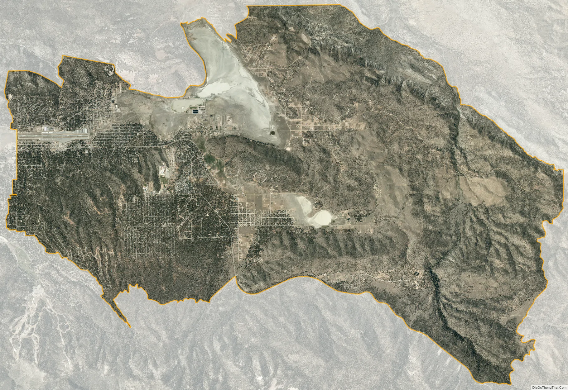
Big Bear City city Satellite Map
Geography
For statistical purposes, the United States Census Bureau has defined Big Bear City as a census-designated place (CDP). According to the United States Census Bureau, the CDP has a total area of 32.0 square miles (83 km), 99.95% of it land, and 0.05% of it water.
The nearby ski resorts consist of Snow Summit and Bear Mountain.
Most of the town and the business district are centered on Big Bear Boulevard. Its limits are defined on the west by Division Road and on the east by the left turn at Highway 38, which goes to Redlands and Highway 18 which goes south to San Bernardino and north to Lucerne Valley. Though its south boundary is loosely defined by the residential boundary, the north side is defined by North Shore Road. The east-west postal divider of Big Bear City is Green Way Drive. It is here that Highway 18 (Big Bear Boulevard) turns north and crosses over to North Shore Drive heading east toward Lucerne Valley, and Highway 38 coming from the east turns north to North Shore and heads west to Big Bear Dam in the city of Big Bear Lake, California.
Sugarloaf is a large residential area that lies to the south of Big Bear City.
See also
Map of California State and its subdivision:- Alameda
- Alpine
- Amador
- Butte
- Calaveras
- Colusa
- Contra Costa
- Del Norte
- El Dorado
- Fresno
- Glenn
- Humboldt
- Imperial
- Inyo
- Kern
- Kings
- Lake
- Lassen
- Los Angeles
- Madera
- Marin
- Mariposa
- Mendocino
- Merced
- Modoc
- Mono
- Monterey
- Napa
- Nevada
- Orange
- Placer
- Plumas
- Riverside
- Sacramento
- San Benito
- San Bernardino
- San Diego
- San Francisco
- San Joaquin
- San Luis Obispo
- San Mateo
- Santa Barbara
- Santa Clara
- Santa Cruz
- Shasta
- Sierra
- Siskiyou
- Solano
- Sonoma
- Stanislaus
- Sutter
- Tehama
- Trinity
- Tulare
- Tuolumne
- Ventura
- Yolo
- Yuba
- Alabama
- Alaska
- Arizona
- Arkansas
- California
- Colorado
- Connecticut
- Delaware
- District of Columbia
- Florida
- Georgia
- Hawaii
- Idaho
- Illinois
- Indiana
- Iowa
- Kansas
- Kentucky
- Louisiana
- Maine
- Maryland
- Massachusetts
- Michigan
- Minnesota
- Mississippi
- Missouri
- Montana
- Nebraska
- Nevada
- New Hampshire
- New Jersey
- New Mexico
- New York
- North Carolina
- North Dakota
- Ohio
- Oklahoma
- Oregon
- Pennsylvania
- Rhode Island
- South Carolina
- South Dakota
- Tennessee
- Texas
- Utah
- Vermont
- Virginia
- Washington
- West Virginia
- Wisconsin
- Wyoming


