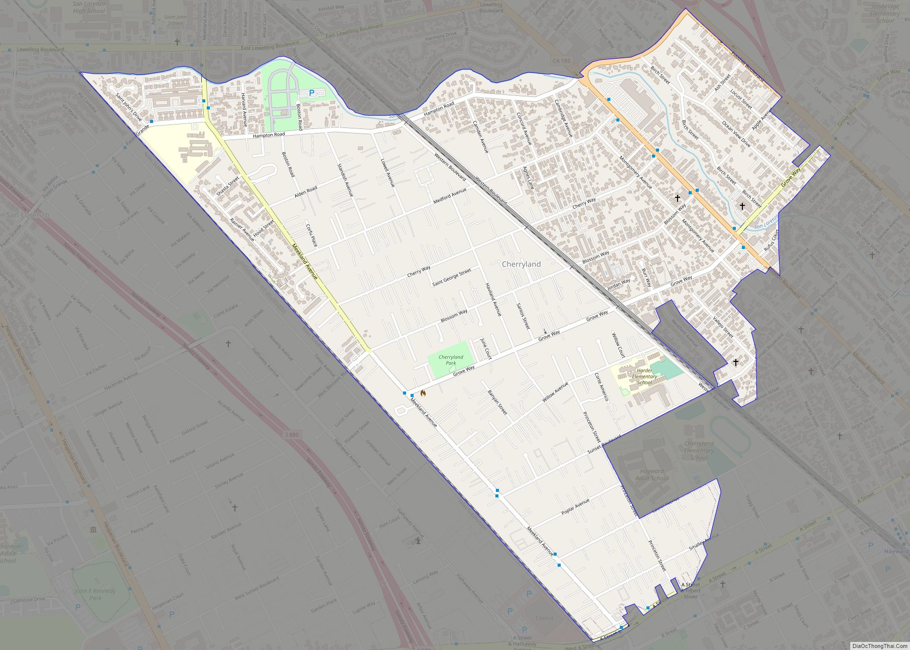
Cherryland is an unincorporated community and census-designated place (CDP) in Alameda County, California, United States. Cherryland is located between Ashland to the north and the city of Hayward to the south. The population was 15,808 at the 2020 census.
| Name: | Cherryland CDP |
|---|---|
| LSAD Code: | 57 |
| LSAD Description: | CDP (suffix) |
| State: | California |
| County: | Alameda County |
| Elevation: | 66 ft (20 m) |
| Total Area: | 1.19 sq mi (3.09 km²) |
| Land Area: | 1.19 sq mi (3.09 km²) |
| Water Area: | 0.00 sq mi (0.00 km²) 0% |
| Total Population: | 15,808 |
| Population Density: | 13,250.63/sq mi (5,114.51/km²) |
| ZIP code: | 94541 |
| Area code: | 510, 341 |
| FIPS code: | 0612902 |
Online Interactive Map
Click on ![]() to view map in "full screen" mode.
to view map in "full screen" mode.
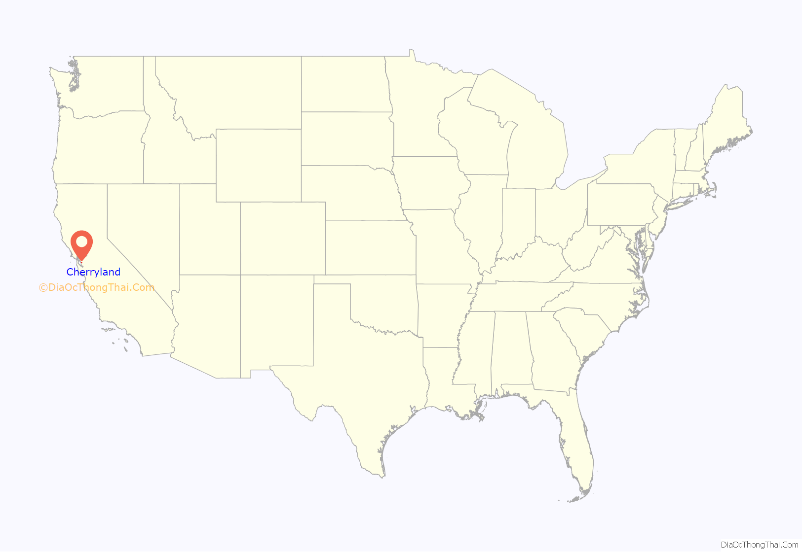
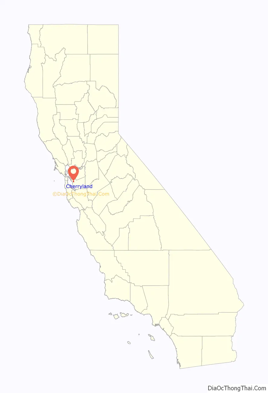
Cherryland location map. Where is Cherryland CDP?
History
Cherryland largely comprises the residential subdivision of the vast orchards (2,200 acres (8.9 km)) of San Lorenzo pioneer William Meek, often called the “first farmer” of Alameda County. “Cherryland” was the name of one huge subdivision of this farm initiated by third-generation heirs in 1911. The Meek Mansion is located on Hampton Road in the northern part of Cherryland. The mansion is maintained by the Hayward Area Recreation and Park District, in conjunction with the Hayward Area Historical Society.
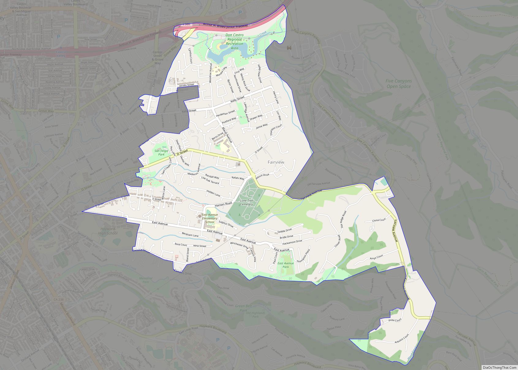
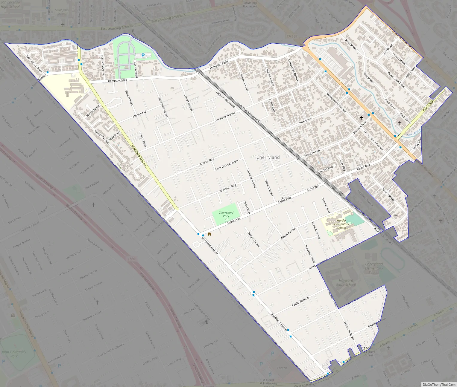
Cherryland Road Map
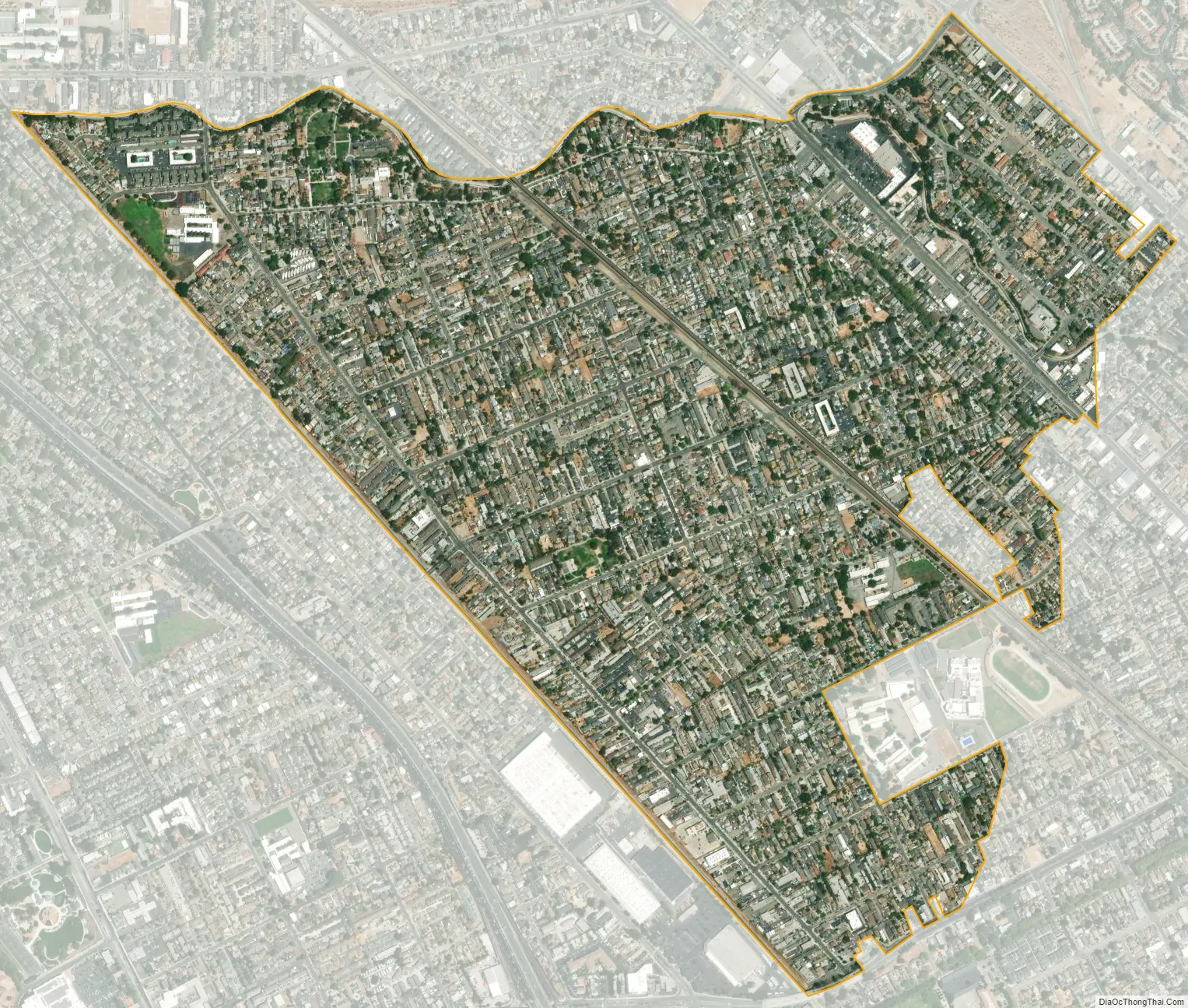
Cherryland city Satellite Map
Geography
According to the United States Census Bureau, the CDP has a total area of 1.2 square miles (3.1 km), all of it land. San Lorenzo Creek runs partly through the unincorporated community and outlines most of the unincorporated community’s northern border.
Climate
This region experiences warm (but not hot) and dry summers, with no average monthly temperatures above 71.6 °F. According to the Köppen Climate Classification system, Cherryland has a warm-summer Mediterranean climate, abbreviated “Csb” on climate maps.
See also
Map of California State and its subdivision:- Alameda
- Alpine
- Amador
- Butte
- Calaveras
- Colusa
- Contra Costa
- Del Norte
- El Dorado
- Fresno
- Glenn
- Humboldt
- Imperial
- Inyo
- Kern
- Kings
- Lake
- Lassen
- Los Angeles
- Madera
- Marin
- Mariposa
- Mendocino
- Merced
- Modoc
- Mono
- Monterey
- Napa
- Nevada
- Orange
- Placer
- Plumas
- Riverside
- Sacramento
- San Benito
- San Bernardino
- San Diego
- San Francisco
- San Joaquin
- San Luis Obispo
- San Mateo
- Santa Barbara
- Santa Clara
- Santa Cruz
- Shasta
- Sierra
- Siskiyou
- Solano
- Sonoma
- Stanislaus
- Sutter
- Tehama
- Trinity
- Tulare
- Tuolumne
- Ventura
- Yolo
- Yuba
- Alabama
- Alaska
- Arizona
- Arkansas
- California
- Colorado
- Connecticut
- Delaware
- District of Columbia
- Florida
- Georgia
- Hawaii
- Idaho
- Illinois
- Indiana
- Iowa
- Kansas
- Kentucky
- Louisiana
- Maine
- Maryland
- Massachusetts
- Michigan
- Minnesota
- Mississippi
- Missouri
- Montana
- Nebraska
- Nevada
- New Hampshire
- New Jersey
- New Mexico
- New York
- North Carolina
- North Dakota
- Ohio
- Oklahoma
- Oregon
- Pennsylvania
- Rhode Island
- South Carolina
- South Dakota
- Tennessee
- Texas
- Utah
- Vermont
- Virginia
- Washington
- West Virginia
- Wisconsin
- Wyoming