Dublin (formerly, Amador and Dougherty’s Station) is a suburban city of the East Bay in California. It is located within the Amador Valley of Alameda County‘s Tri-Valley region. It is located along the north side of Interstate 580 at the intersection with Interstate 680, roughly 35 miles (56 km) east of downtown San Francisco, 23 miles (37 km) east of downtown Oakland, and 31 miles (50 km) north of downtown San Jose.
It was referred to as “Dublin” in reference to the city of Dublin, Ireland, because of the large number of Irish who lived there. The post office formally adopted the name in the 1890s.
The population was 72,589 as of the 2020 census, which had grown from 46,063 in 2010. In 2013, Dublin was the second fastest-growing city in the state of California, behind only Santa Clarita. In 2019, census data showed Dublin as one of the fastest-growing cities in the country. Dublin was formerly home to the headquarters of Sybase, Inc (now part of SAP SE) and is currently home to the headquarters for CallidusCloud, Patelco Credit Union, Ross Stores, TriNet, Medley Health, Challenge Dairy and Arlen Ness.
| Name: | Dublin city |
|---|---|
| LSAD Code: | 25 |
| LSAD Description: | city (suffix) |
| State: | California |
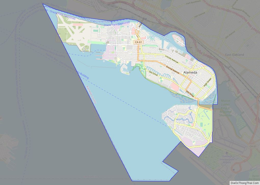
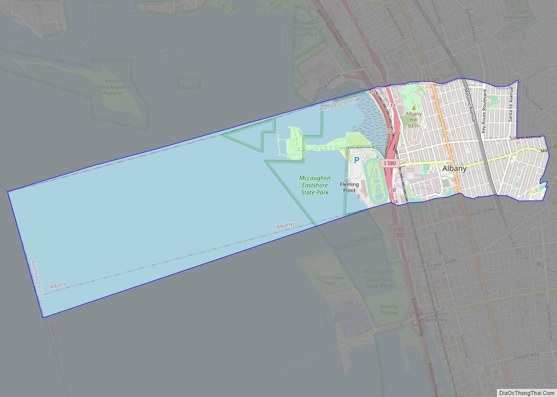
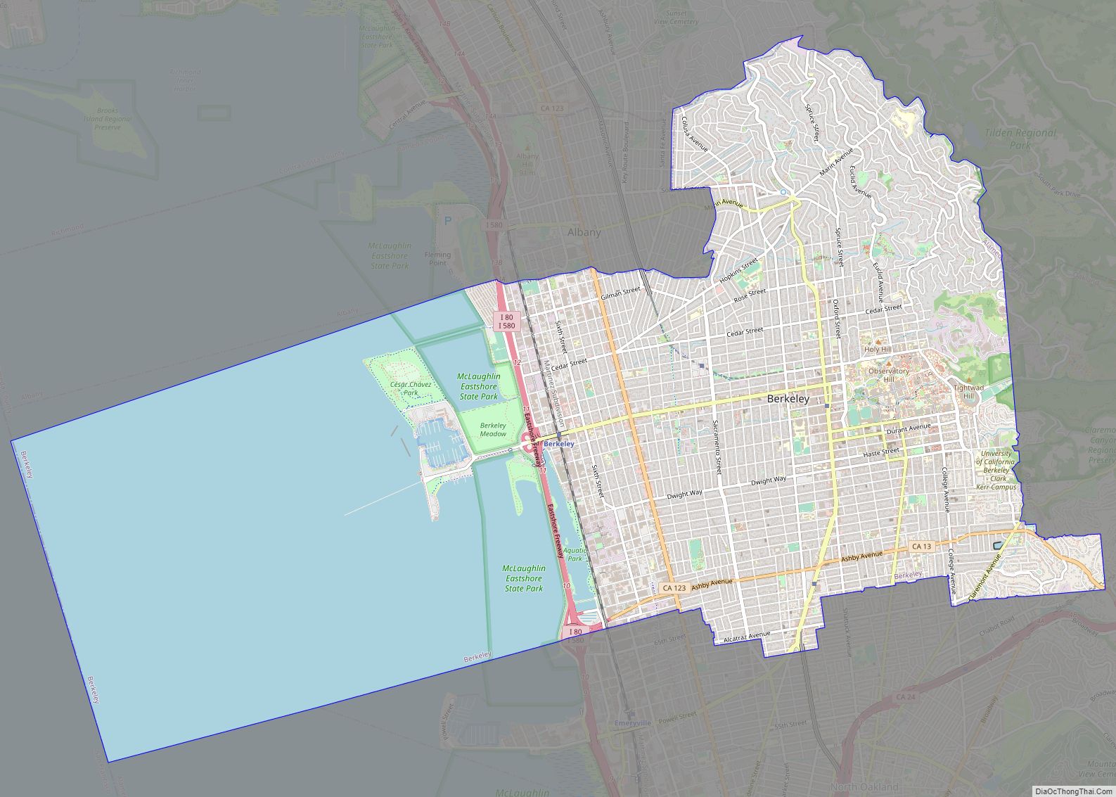
| County: | Alameda County |
| Incorporated: | February 1, 1982 |
| Elevation: | 367 ft (112 m) |
| Total Area: | 15.23 sq mi (39.44 km²) |
| Land Area: | 15.23 sq mi (39.44 km²) |
| Water Area: | 0.00 sq mi (0.00 km²) 0.03% |
| Total Population: | 72,589 |
| Population Density: | 4,766.50/sq mi (1,840.36/km²) |
| ZIP code: | 94568 |
| Area code: | 925 |
| FIPS code: | 0620018 |
| Website: | dublin.ca.gov |
Online Interactive Map
Click on ![]() to view map in "full screen" mode.
to view map in "full screen" mode.
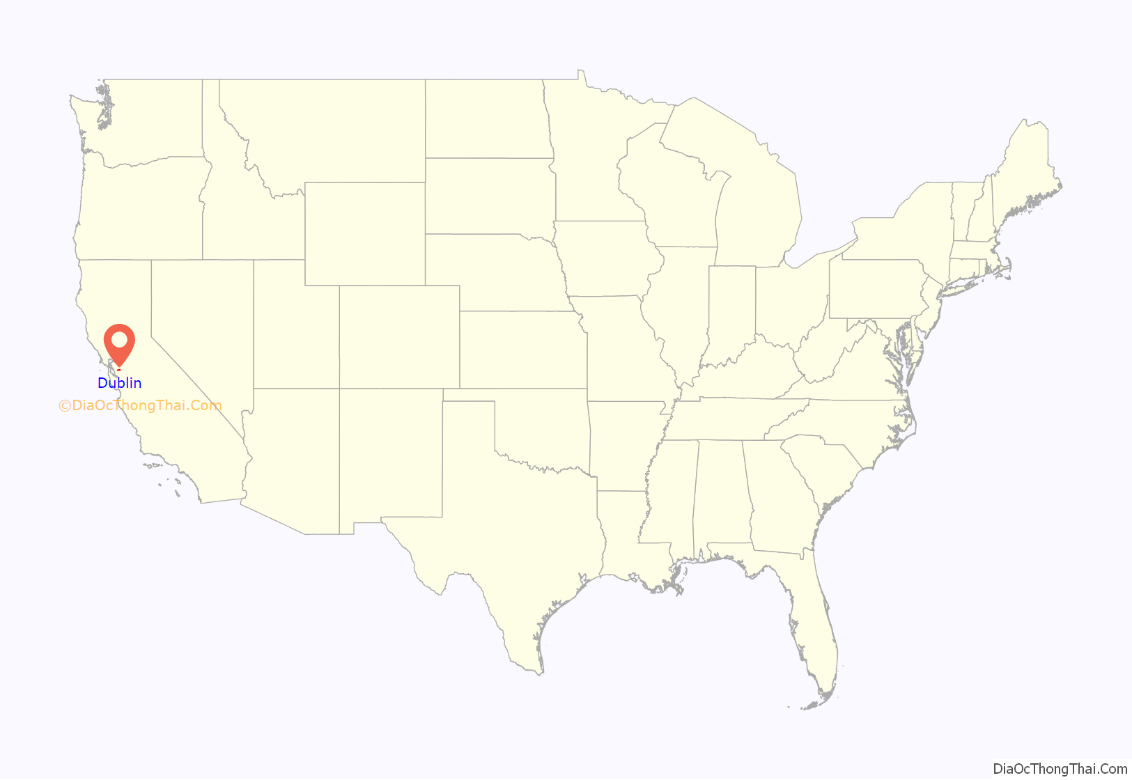
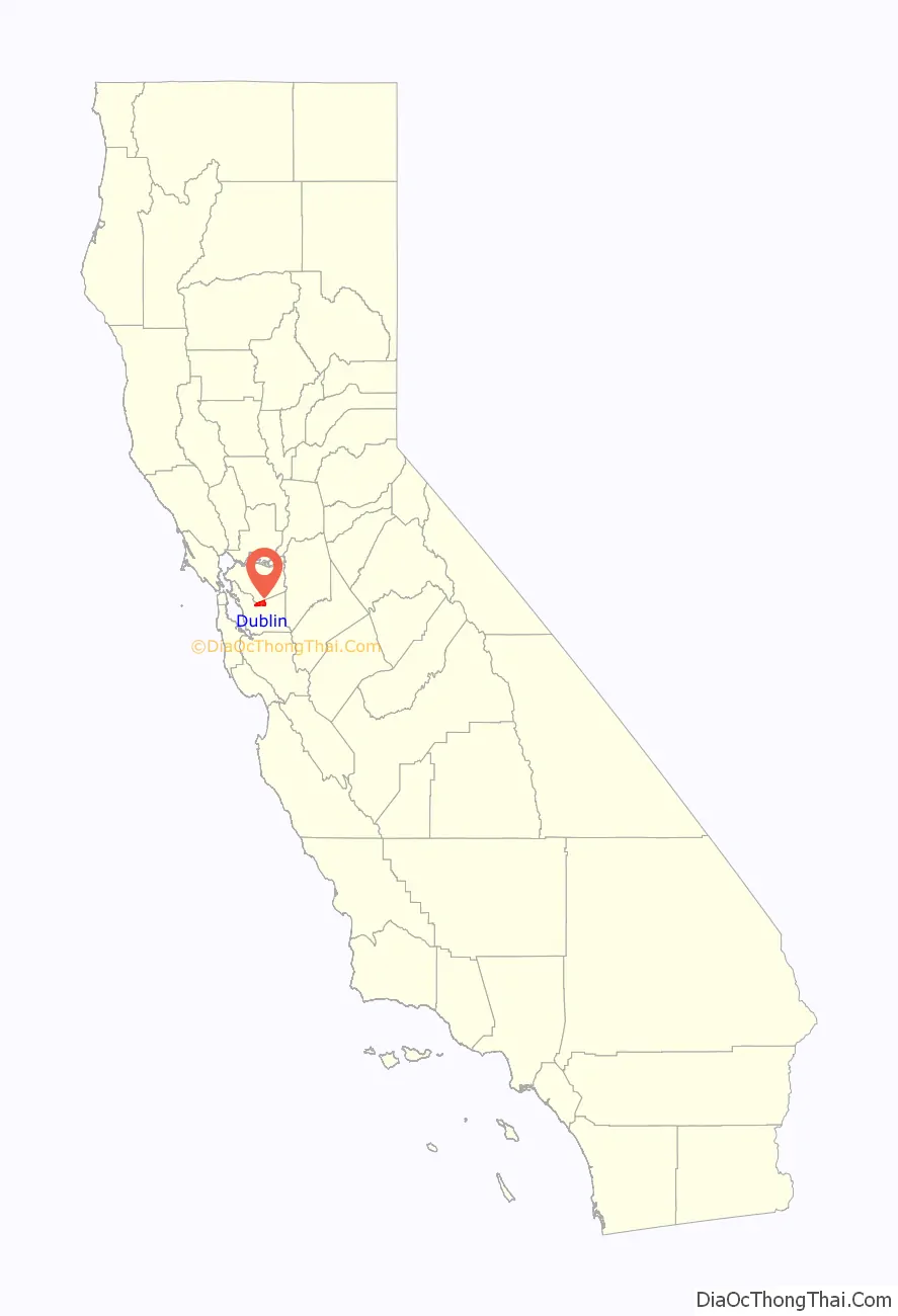
Dublin location map. Where is Dublin city?
History
In 1835, José María Amador was granted 16,500 acres for his service as a Mexican soldier and in Mission San Jose where he was an administrator in the valley which was named Amador Valley after him. In 1850, Irish settlers bought land from Amador and founded a town.
Several historical sites are preserved and located where Dublin Boulevard is crossed by Donlon Way, itself formerly the northernmost segment of the main road to Sunol and Niles Canyon (present-day Foothill Road):
- The Murray Schoolhouse (established in 1856 with 50 pupils)
- Green’s Store (opened in 1860) current home of the Dublin Church of Christ.
- The old cemetery was formally established in 1859, although people had been buried in the churchyard for years before 1859.
- Old St. Raymond’s Church (built 1859), is listed on the National Register of Historic Places
Dublin Boulevard, a generally east–west road running just north of Interstate 580, was a part of the Lincoln Highway and later U.S. Route 50. The street formerly curved southward near today’s Hansen Drive to follow present-day Dublin Canyon Road toward Hayward.
In 1960, the first housing tracts were built in West Dublin, transforming the formerly rural community into a suburb. It grew steadily from the early 1960s onward as both a residential and retail center. The City became incorporated in February 1982.
Although a post office operated from 1860 to 1908 in Dougherty, which broke off from Dublin, Dublin’s first post office was opened in 1963, and is still in operation today.
MythBusters cannonball incident
On December 6, 2011, during shooting for an episode of MythBusters at Camp Parks, a cannonball went skyward and zoomed through a nearby residence, coming to rest in a car. Many residents were shaken and the community was shocked, but nobody was injured. MythBusters cast members Adam Savage and Kari Byron hosted a student engineering event at Dublin High School, a move to express gratitude to the community of Dublin for the access to Camp Parks as a shooting location. The Dublin Film Commission declared December 6 “Victory in the battle for Dublin”, poking at the rogue cannonball incident, and announced plans to host a film festival every December 6 to honor Dublin’s fallen cannonball. On December 6, 2012, Tri-Valley Film Coalition President Morgan Finley King hosted a film festival at the Dublin Library, in which winners of each category were awarded a “Golden Cannonball Award”.
Measure M
In 2000, following a conflict with Mayor Guy Houston and developers of the West Dublin Hills, Morgan King and David Bewley began a ballot initiative known as Measure M. The objective of the measure was to prevent the Dublin Hills from becoming overwhelmed with housing that had been promised to voters and that the housing would not be built on preserved open space. Measure M won in every precinct in Dublin and on the absentee ballots.
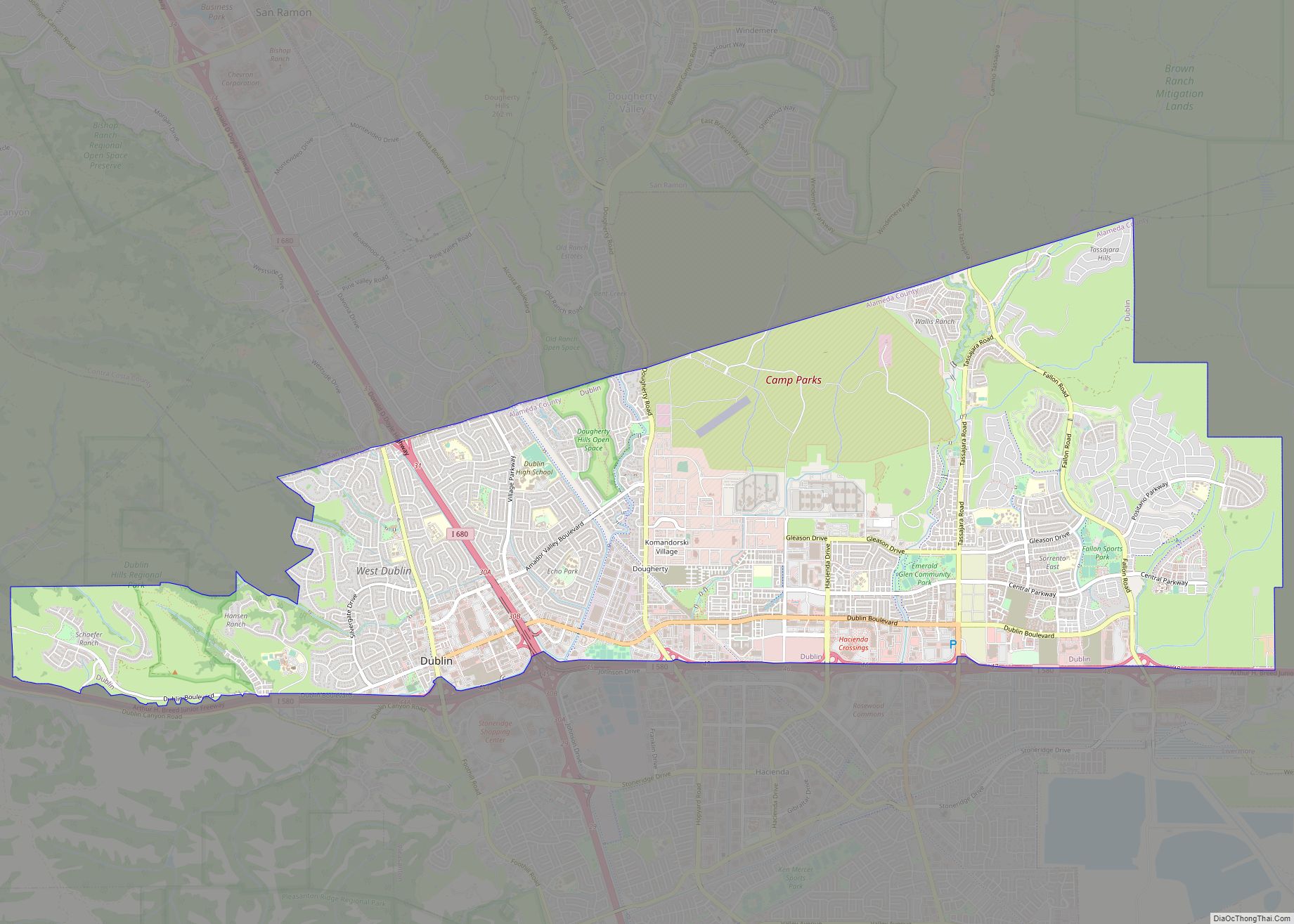
Dublin Road Map

Dublin city Satellite Map
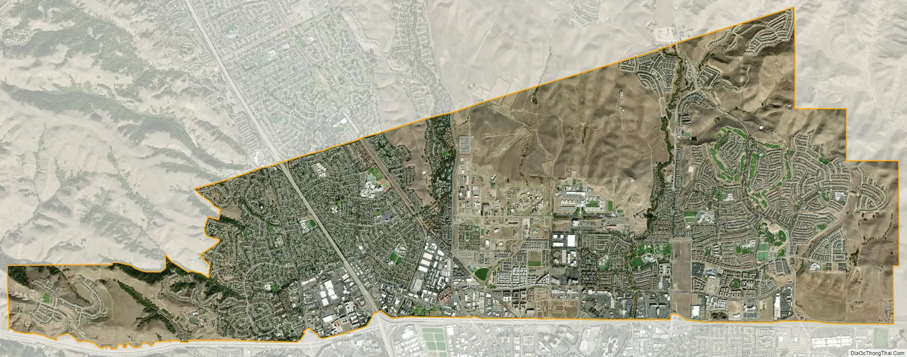
Geography
According to the United States Census Bureau, the city has a total area of 14.9 square miles (40 km) of which 0.03% is water.
Neighborhoods
Wallis Ranch is a subdivision developed by Trumark Communities with approximately 816 units which opened its first phase in September 2016. Trumark divided the project into eight neighborhoods, selling seven of them to other homebuilders including Warmington Residential, PulteGroup, Taylor Morrison, KB Home and D.R. Horton. Architects KTGY Architecture + Planning, Dahlin Group and Gates & Associates were the master plan architects. Teichert Construction built the infrastructure.
Tassajara Hills is another subdivision built by Toll Brothers, approximately 370 detached homes. Transit-oriented development around the city’s two BART stations continues with the Aster and Valor Crossing developments. Valor Crossing is an affordable housing project specifically designed for veterans and their families. Avalon Dublin Station is another recently completed luxury rental development by AvalonBay Communities.
See also
Map of California State and its subdivision:- Alameda
- Alpine
- Amador
- Butte
- Calaveras
- Colusa
- Contra Costa
- Del Norte
- El Dorado
- Fresno
- Glenn
- Humboldt
- Imperial
- Inyo
- Kern
- Kings
- Lake
- Lassen
- Los Angeles
- Madera
- Marin
- Mariposa
- Mendocino
- Merced
- Modoc
- Mono
- Monterey
- Napa
- Nevada
- Orange
- Placer
- Plumas
- Riverside
- Sacramento
- San Benito
- San Bernardino
- San Diego
- San Francisco
- San Joaquin
- San Luis Obispo
- San Mateo
- Santa Barbara
- Santa Clara
- Santa Cruz
- Shasta
- Sierra
- Siskiyou
- Solano
- Sonoma
- Stanislaus
- Sutter
- Tehama
- Trinity
- Tulare
- Tuolumne
- Ventura
- Yolo
- Yuba
- Alabama
- Alaska
- Arizona
- Arkansas
- California
- Colorado
- Connecticut
- Delaware
- District of Columbia
- Florida
- Georgia
- Hawaii
- Idaho
- Illinois
- Indiana
- Iowa
- Kansas
- Kentucky
- Louisiana
- Maine
- Maryland
- Massachusetts
- Michigan
- Minnesota
- Mississippi
- Missouri
- Montana
- Nebraska
- Nevada
- New Hampshire
- New Jersey
- New Mexico
- New York
- North Carolina
- North Dakota
- Ohio
- Oklahoma
- Oregon
- Pennsylvania
- Rhode Island
- South Carolina
- South Dakota
- Tennessee
- Texas
- Utah
- Vermont
- Virginia
- Washington
- West Virginia
- Wisconsin
- Wyoming