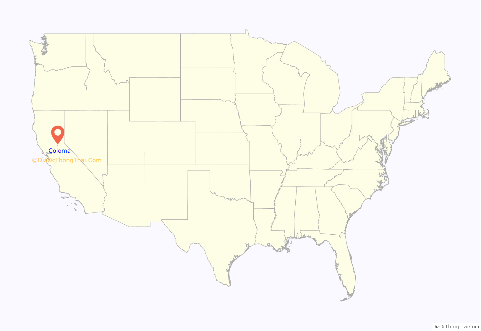
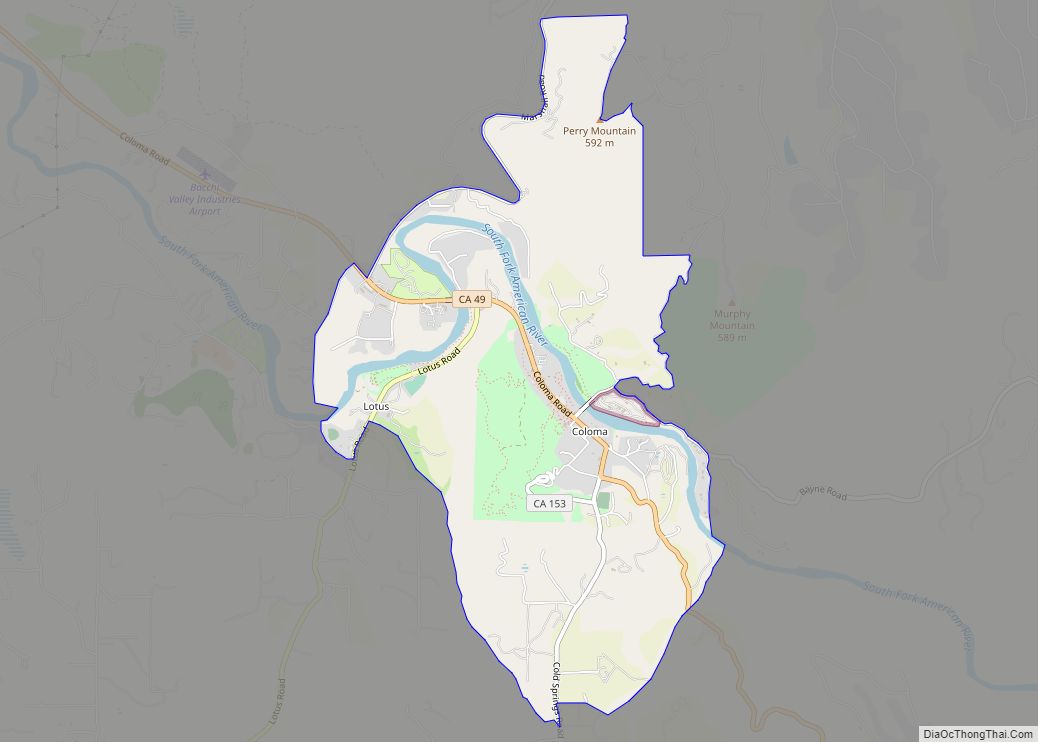
Coloma (Nisenan: Cullumah, meaning “beautiful”) is a census-designated place in El Dorado County, California, US. It is approximately 36 miles (58 km) northeast of Sacramento, California. Coloma is most noted for being the site where James W. Marshall found gold in the Sierra Nevada foothills, at Sutter’s Mill on January 24, 1848, leading to the California Gold Rush. Coloma’s population is 529.
The settlement is a tourist attraction known for its ghost town and the centerpiece of the Marshall Gold Discovery State Historic Park. Coloma was designated a National Historic Landmark District on July 4, 1961.
It lies at an elevation of 764 feet (233 m).
| Name: | Coloma CDP |
|---|---|
| LSAD Code: | 57 |
| LSAD Description: | CDP (suffix) |
| State: | California |
| County: | El Dorado County |
| Elevation: | 764 ft (233 m) |
| Total Area: | 3.35 sq mi (8.69 km²) |
| Land Area: | 3.35 sq mi (8.69 km²) |
| Water Area: | 0.00 sq mi (0.00 km²) 0% |
| Total Population: | 2,025 |
| Population Density: | 155.29/sq mi (59.96/km²) |
| Area code: | (530) |
| FIPS code: | 0614764 |
| GNISfeature ID: | 1655915; 2582981 |
Online Interactive Map
Click on ![]() to view map in "full screen" mode.
to view map in "full screen" mode.
Coloma location map. Where is Coloma CDP?
History
Coloma grew around Sutter’s Mill following the finding of gold. A post office was established in 1849 under the name Culloma, changing to Coloma in 1851.
One of Coloma’s earliest settlers was Silas Sanderson (1824–1886), who went on to become the 7th Chief Justice of California. Another was Nancy Gooch, who was one of the first black women to succeed in California.
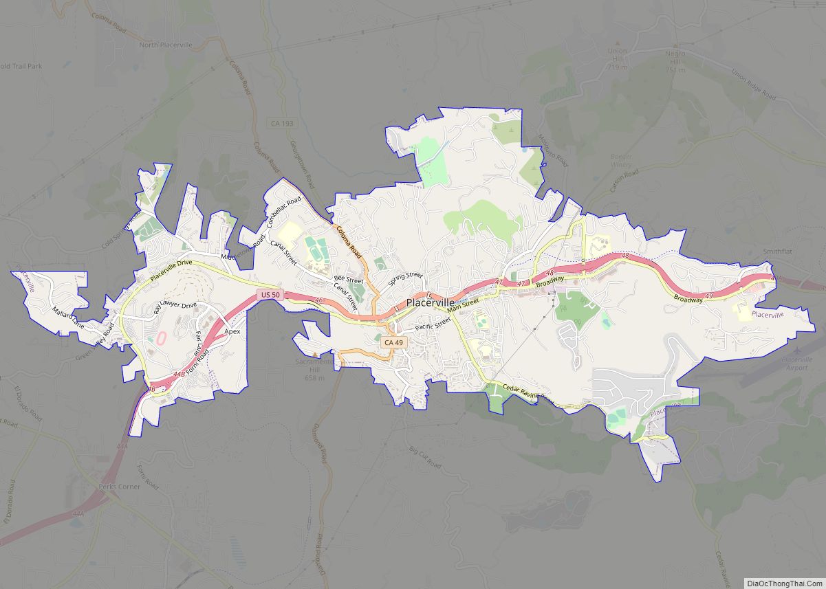
Coloma Road Map
Coloma city Satellite Map
See also
Map of California State and its subdivision:- Alameda
- Alpine
- Amador
- Butte
- Calaveras
- Colusa
- Contra Costa
- Del Norte
- El Dorado
- Fresno
- Glenn
- Humboldt
- Imperial
- Inyo
- Kern
- Kings
- Lake
- Lassen
- Los Angeles
- Madera
- Marin
- Mariposa
- Mendocino
- Merced
- Modoc
- Mono
- Monterey
- Napa
- Nevada
- Orange
- Placer
- Plumas
- Riverside
- Sacramento
- San Benito
- San Bernardino
- San Diego
- San Francisco
- San Joaquin
- San Luis Obispo
- San Mateo
- Santa Barbara
- Santa Clara
- Santa Cruz
- Shasta
- Sierra
- Siskiyou
- Solano
- Sonoma
- Stanislaus
- Sutter
- Tehama
- Trinity
- Tulare
- Tuolumne
- Ventura
- Yolo
- Yuba
- Alabama
- Alaska
- Arizona
- Arkansas
- California
- Colorado
- Connecticut
- Delaware
- District of Columbia
- Florida
- Georgia
- Hawaii
- Idaho
- Illinois
- Indiana
- Iowa
- Kansas
- Kentucky
- Louisiana
- Maine
- Maryland
- Massachusetts
- Michigan
- Minnesota
- Mississippi
- Missouri
- Montana
- Nebraska
- Nevada
- New Hampshire
- New Jersey
- New Mexico
- New York
- North Carolina
- North Dakota
- Ohio
- Oklahoma
- Oregon
- Pennsylvania
- Rhode Island
- South Carolina
- South Dakota
- Tennessee
- Texas
- Utah
- Vermont
- Virginia
- Washington
- West Virginia
- Wisconsin
- Wyoming
