The Town of Danville is located in the San Ramon Valley in Contra Costa County, California. It is one of the incorporated municipalities in California that use “town” in their names instead of “city”. The population was 43,582 at the 2020 census. Since 2018, for four years in a row, Danville was named “the safest town in California”.
The Iron Horse Regional Trail runs through Danville. It was first a railroad that has been converted to an 80-foot (24 m) wide corridor of bike and hike trails as well as controlled intersections. Extending from Livermore to Concord, the trail passes through Danville.
Danville is also home to the Eugene O’Neill National Historic Site, Village Theatre and Art Gallery, and the Museum of the San Ramon Valley.
| Name: | Danville town |
|---|---|
| LSAD Code: | 43 |
| LSAD Description: | town (suffix) |
| State: | California |
| County: | Contra Costa County |
| Incorporated: | July 1, 1982 |
| Elevation: | 358 ft (109 m) |
| Total Area: | 18.08 sq mi (46.82 km²) |
| Land Area: | 18.08 sq mi (46.82 km²) |
| Water Area: | 0.00 sq mi (0.00 km²) 0% |
| Total Population: | 43,582 |
| Population Density: | 2,410.78/sq mi (930.82/km²) |
| ZIP code: | 94506, 94526 |
| Area code: | 925 |
| FIPS code: | 0617988 |
| Website: | www.danville.ca.gov |
Online Interactive Map
Click on ![]() to view map in "full screen" mode.
to view map in "full screen" mode.
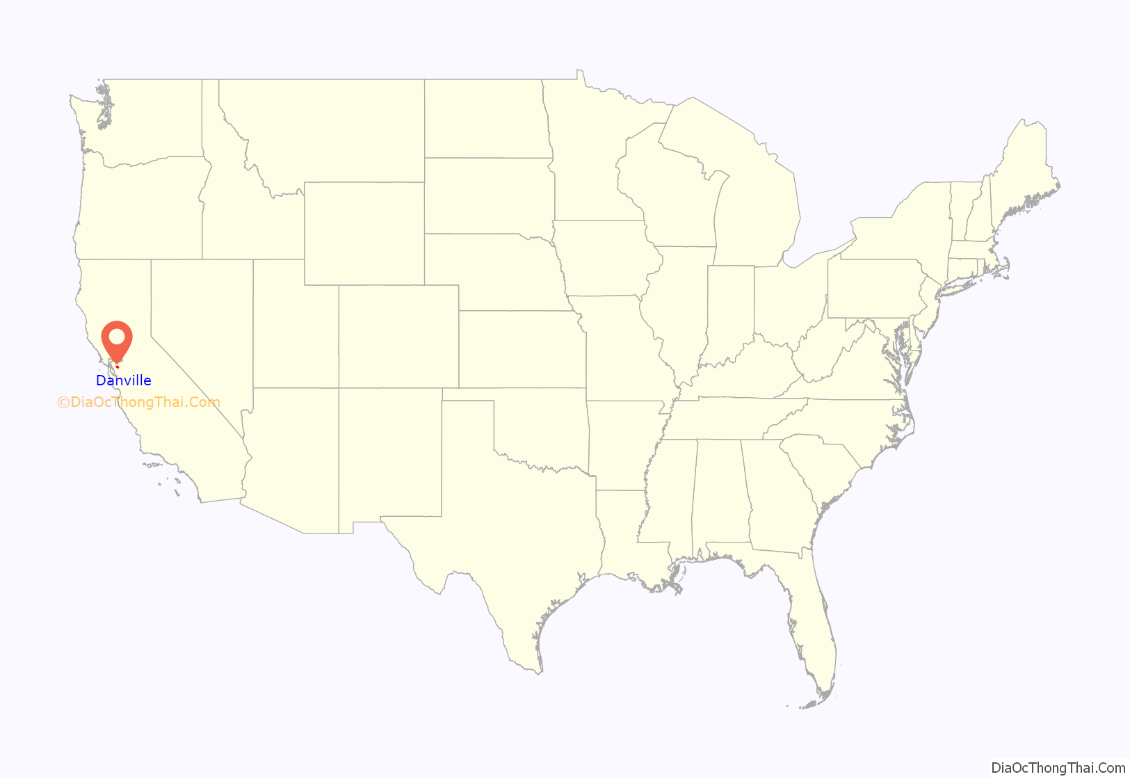
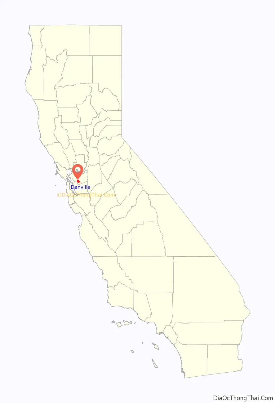
Danville location map. Where is Danville town?
History
Often referred to as the “Heart of the San Ramon Valley,” Danville was first populated by Native Americans who lived near creeks and camped on Mount Diablo in the summer. Later, it was part of Mission San José’s grazing land as well as a Mexican land grant called Rancho San Ramon.
Initially a farming community, the Town of Danville switched from wheat to fruits and nuts after the Southern Pacific Railroad built a spur line through the area in 1891. It developed as a residential suburb in 1947 when the first sizable housing tracts were constructed and its population boomed in the 1970s and 1980s.
The Danville Post Office opened in 1860 with hotel owner Henry W. Harris as the first postmaster.
Churches, schools, farmers unions and fraternal lodges began as the community grew. The Union Academy, a private high school begun by the Cumberland Presbyterian Church, served the county from 1859 to 1868, until it burned down. Danville Presbyterian Church was dedicated in 1875.
Many early Danville buildings remain standing today. The original 1874 Grange Hall exists as well, and the original Danville Hotel remains downtown which was last renovated in 2016. Many of the early pioneer names appear on the streets and schools, including Baldwin, Harlan, Wood, Love, Hemme, Boone, Bettencourt and Meese.
When the Southern Pacific Railroad came to the Valley in 1891, Danville continued to grow. Farmers built warehouses and shipped crops by rail, and residents were able to travel to and from Danville.
John Hartz sold 8.65 acres (3.50 ha) of his land for the Danville Depot and granted land access to the station. He then subdivided and sold lots east of the station, shifting the town’s focus from Front Street to Hartz Avenue. Eventually, a bank, drug store, saloon, doctor’s office and Chinese laundry joined the houses lining the street. The Danville Hotel originally sat across from the station and was moved to face Hartz avenue in 1927.
The twentieth century found Danville affected by the wars, the Spanish flu, the depression, and new immigrants.
In 1910, a public high school district was organized and San Ramon Valley Union High School was built. A library opened in 1913 with 104 books. St. Isidore’s Catholic Church was first established in 1910. An Improvement League funded the first streetlights and paved roads in 1915.
Danville continued as farm country into the 1940s. The Valley had a population of 2,120 people in 1940, growing to 4,630 by 1950. Developments such as Montair and Cameo Acres were built, the water and sewer districts extended their boundaries, and the new I-680 freeway which cut through Danville in the mid-1960.
In 1982, Danville citizens voted to incorporate their community.
In 2000, Danville’s population reached 40,484.
Danville was ranked as the safest city in California for a fourth year in a row, most recently in 2021.
Danville Road Map

Danville city Satellite Map

Geography
Danville is set in a narrow section of the San Ramon Valley with the Las Trampas Ridge to the west and the Diablo Range to the east. The most prominent landmark of Danville is the backdrop of Mount Diablo, which stands to the east at 3,849 feet (1,173 m) and provides a picturesque backdrop for Danville and neighboring towns and cities. Sycamore Creek drains some of the Mount Diablo slopes and flows through Danville.
To the north of Danville, the unincorporated town of Alamo sits in the uppermost reaches of the San Ramon Valley and extends into the surrounding hills. San Ramon, another affluent suburb, borders Danville to the south.
Interstate 680, extending along the valley to the north and south, is the main route used by traffic in and out of town. Camino Tassajara is the main thoroughfare for east–west travel, most importantly to reach the eastern subdivisions far from the interstate. Camino Tassajara also provides access to the wealthy gated community of Blackhawk.
According to the United States Census Bureau, the town has a total area of 18.0 square miles (47 km), all of it land.
Climate
Danville’s weather typifies a Mediterranean climate. Summers are long, with hot days and cool nights. Winters are cool, with mild daytime temperatures usually in the 50s, and nighttime temperatures usually above freezing. Like in the rest of the Bay Area, summers in Danville are extremely dry, and it’s not uncommon for four to six months to elapse between the last drop of rain in the spring and the first rain in the fall. Winters are rainy, but periods of several days to a week of mild, dry, sunny weather are quite common even in midwinter.
See also
Map of California State and its subdivision:- Alameda
- Alpine
- Amador
- Butte
- Calaveras
- Colusa
- Contra Costa
- Del Norte
- El Dorado
- Fresno
- Glenn
- Humboldt
- Imperial
- Inyo
- Kern
- Kings
- Lake
- Lassen
- Los Angeles
- Madera
- Marin
- Mariposa
- Mendocino
- Merced
- Modoc
- Mono
- Monterey
- Napa
- Nevada
- Orange
- Placer
- Plumas
- Riverside
- Sacramento
- San Benito
- San Bernardino
- San Diego
- San Francisco
- San Joaquin
- San Luis Obispo
- San Mateo
- Santa Barbara
- Santa Clara
- Santa Cruz
- Shasta
- Sierra
- Siskiyou
- Solano
- Sonoma
- Stanislaus
- Sutter
- Tehama
- Trinity
- Tulare
- Tuolumne
- Ventura
- Yolo
- Yuba
- Alabama
- Alaska
- Arizona
- Arkansas
- California
- Colorado
- Connecticut
- Delaware
- District of Columbia
- Florida
- Georgia
- Hawaii
- Idaho
- Illinois
- Indiana
- Iowa
- Kansas
- Kentucky
- Louisiana
- Maine
- Maryland
- Massachusetts
- Michigan
- Minnesota
- Mississippi
- Missouri
- Montana
- Nebraska
- Nevada
- New Hampshire
- New Jersey
- New Mexico
- New York
- North Carolina
- North Dakota
- Ohio
- Oklahoma
- Oregon
- Pennsylvania
- Rhode Island
- South Carolina
- South Dakota
- Tennessee
- Texas
- Utah
- Vermont
- Virginia
- Washington
- West Virginia
- Wisconsin
- Wyoming


