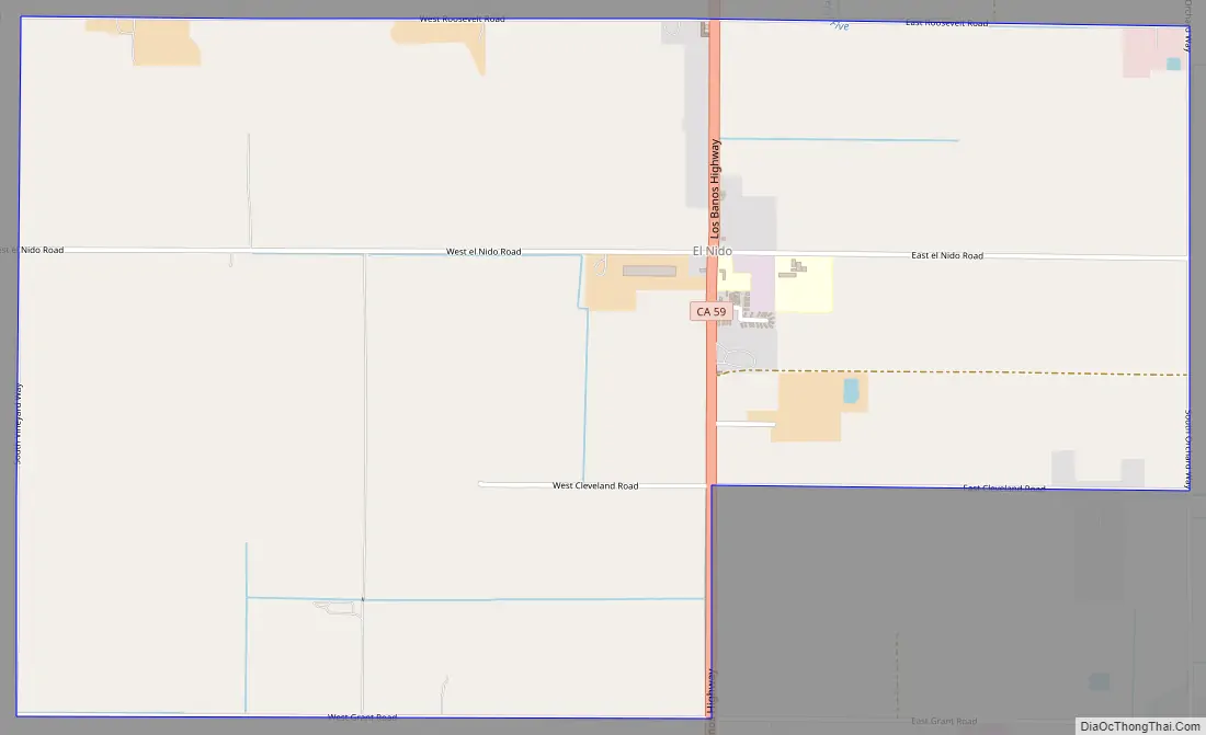
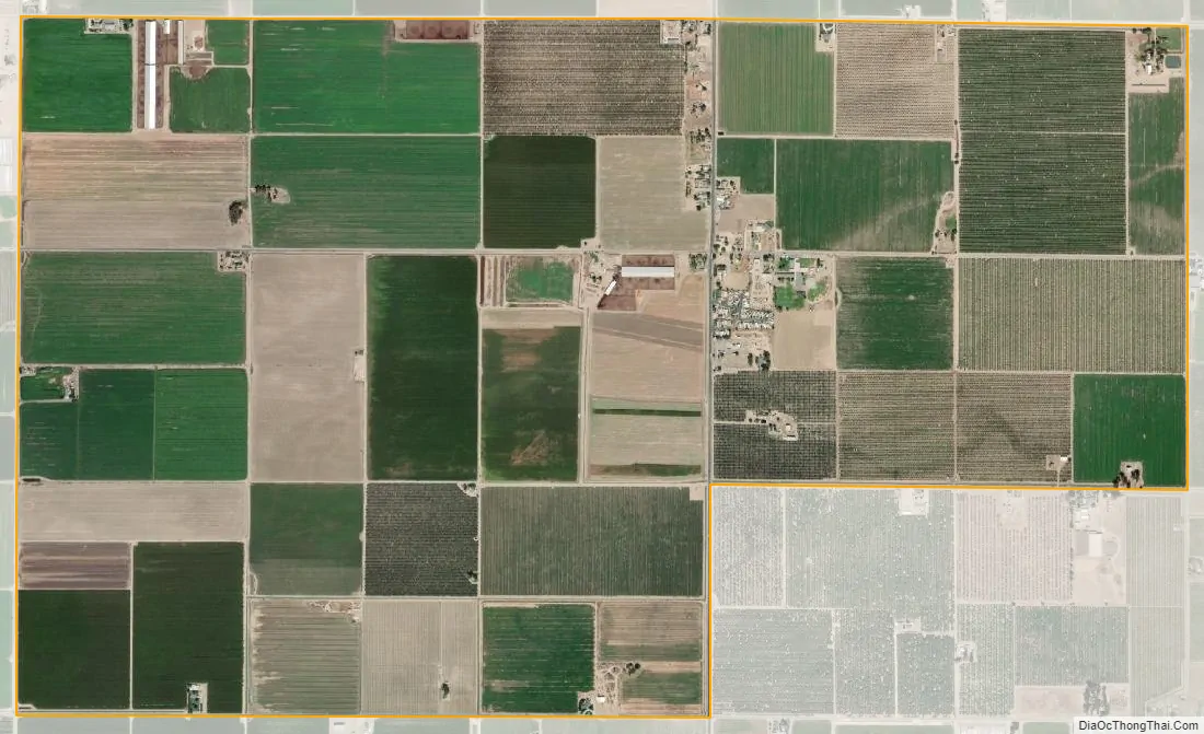
El Nido (Spanish for “The Nest”) is a census-designated place in Merced County, California. It is located 11 miles (18 km) south of Merced at an elevation of 141 feet (43 m), on California State Route 59. The community had a population of 331 at the 2020 census.
| Name: | El Nido CDP |
|---|---|
| LSAD Code: | 57 |
| LSAD Description: | CDP (suffix) |
| State: | California |
| County: | Merced County |
| Elevation: | 141 ft (43 m) |
| Total Area: | 3.292 sq mi (8.526 km²) |
| Land Area: | 3.292 sq mi (8.526 km²) |
| Water Area: | 0 sq mi (0 km²) 0% |
| Total Population: | 331 |
| Population Density: | 100/sq mi (39/km²) |
| ZIP code: | 95317 |
| Area code: | 209 |
| FIPS code: | 0622286 |
| GNISfeature ID: | 233836 |
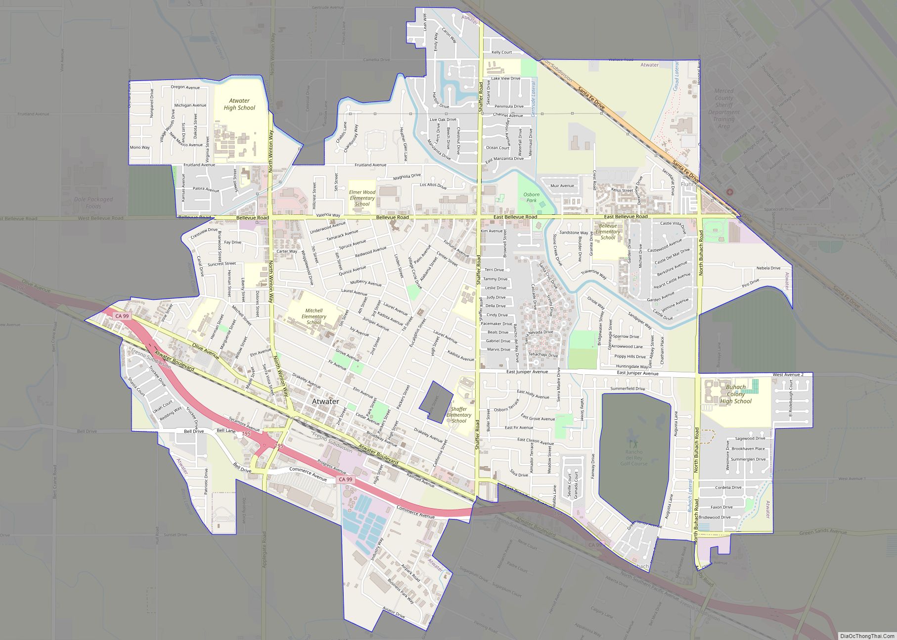
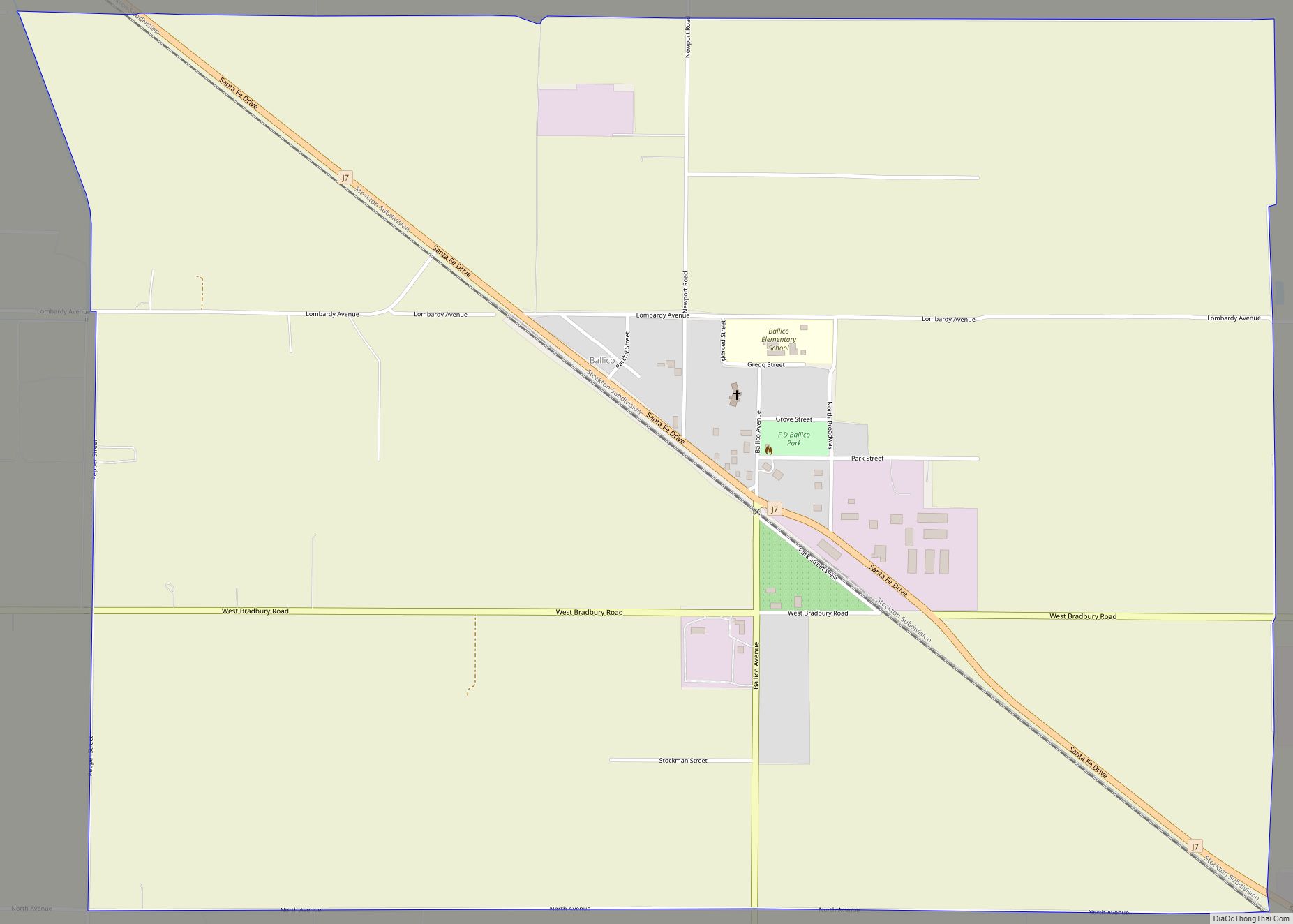
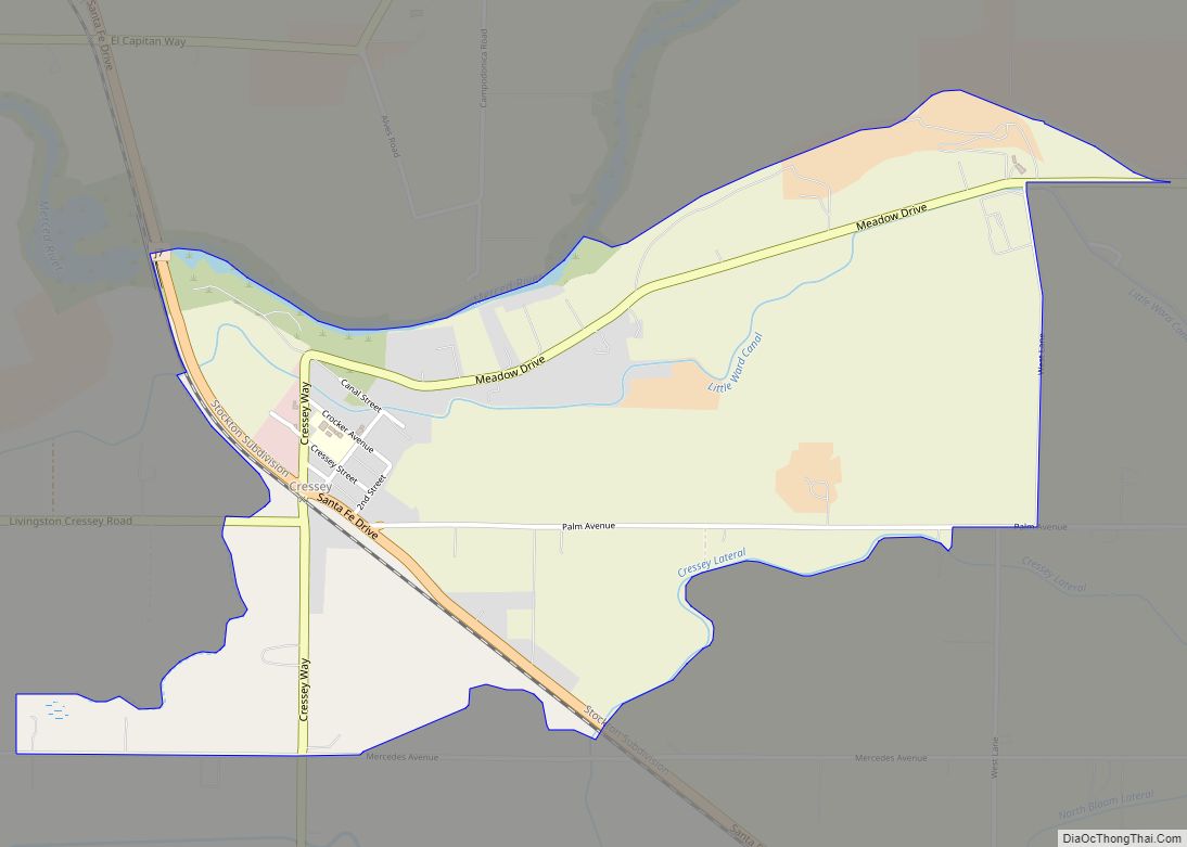
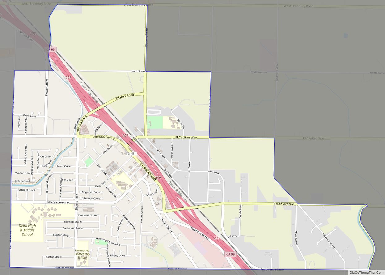
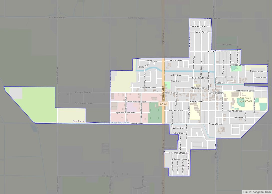
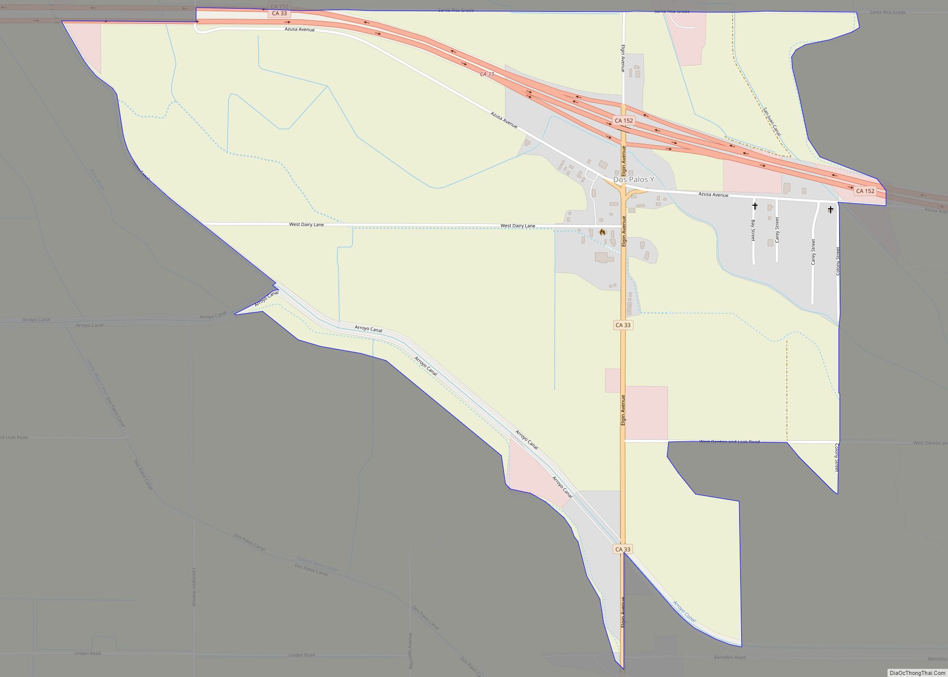
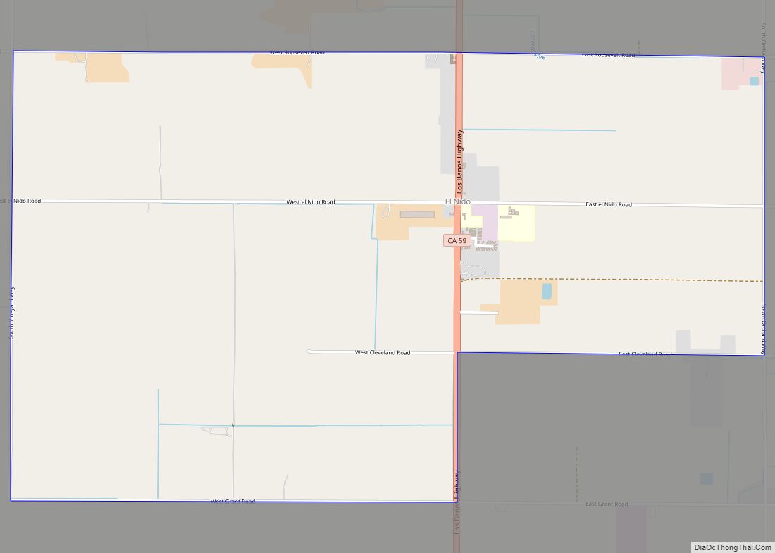
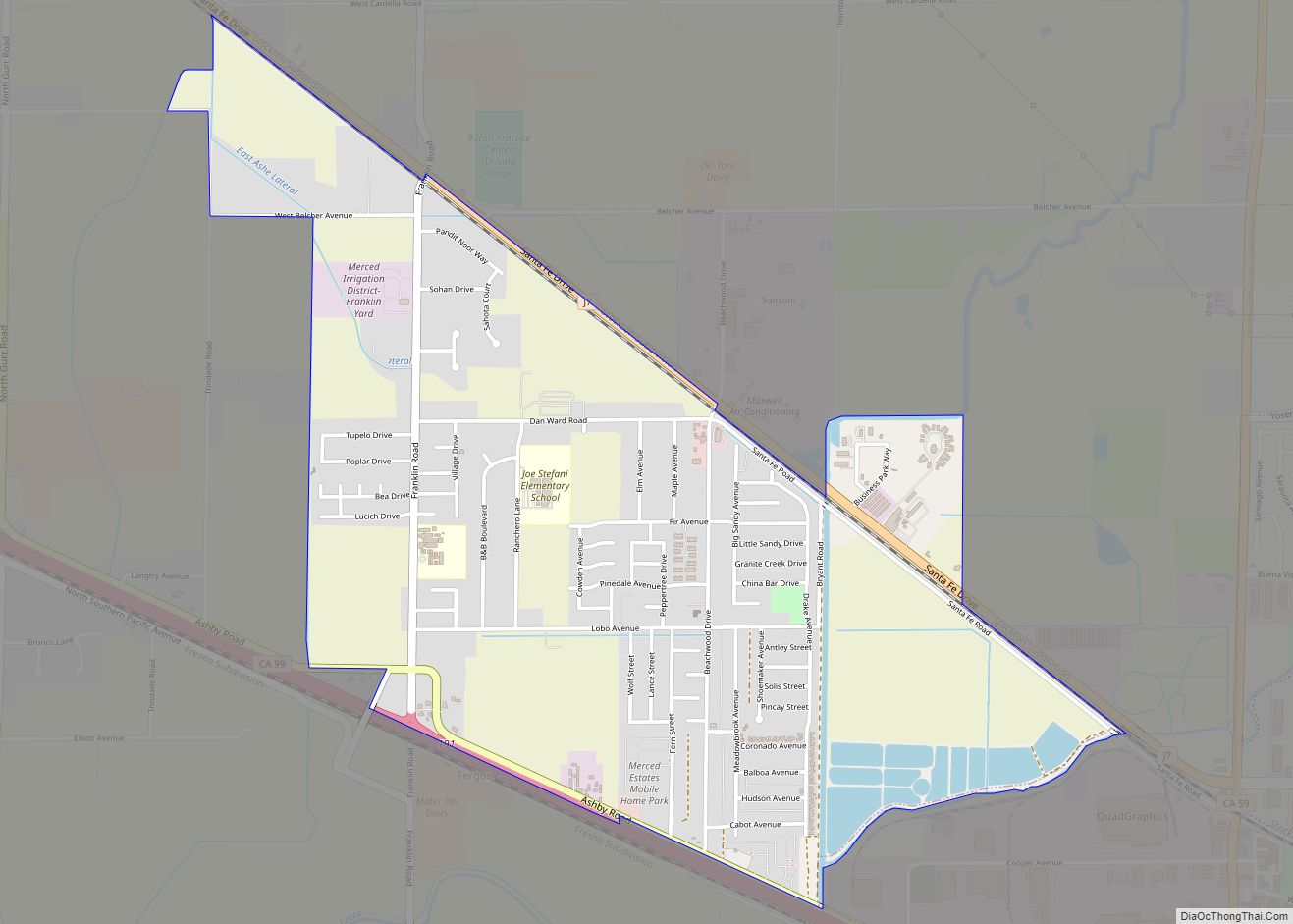
Online Interactive Map
Click on ![]() to view map in "full screen" mode.
to view map in "full screen" mode.
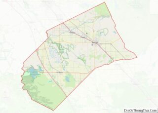
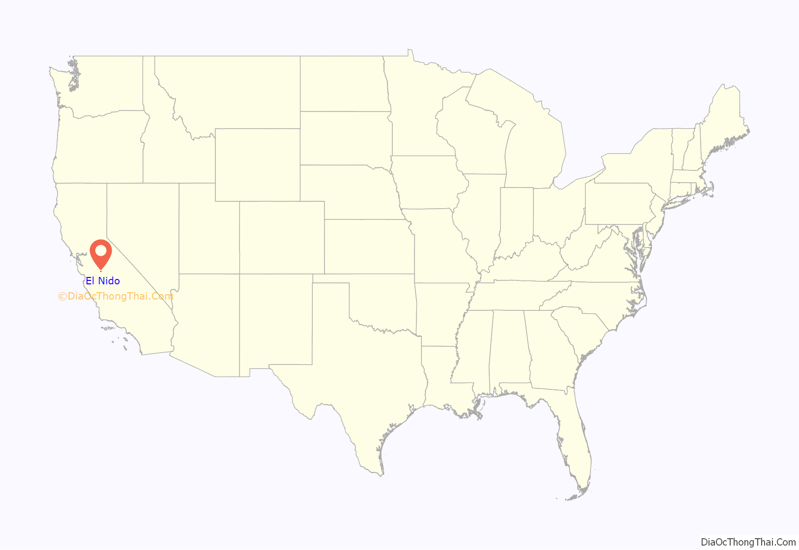
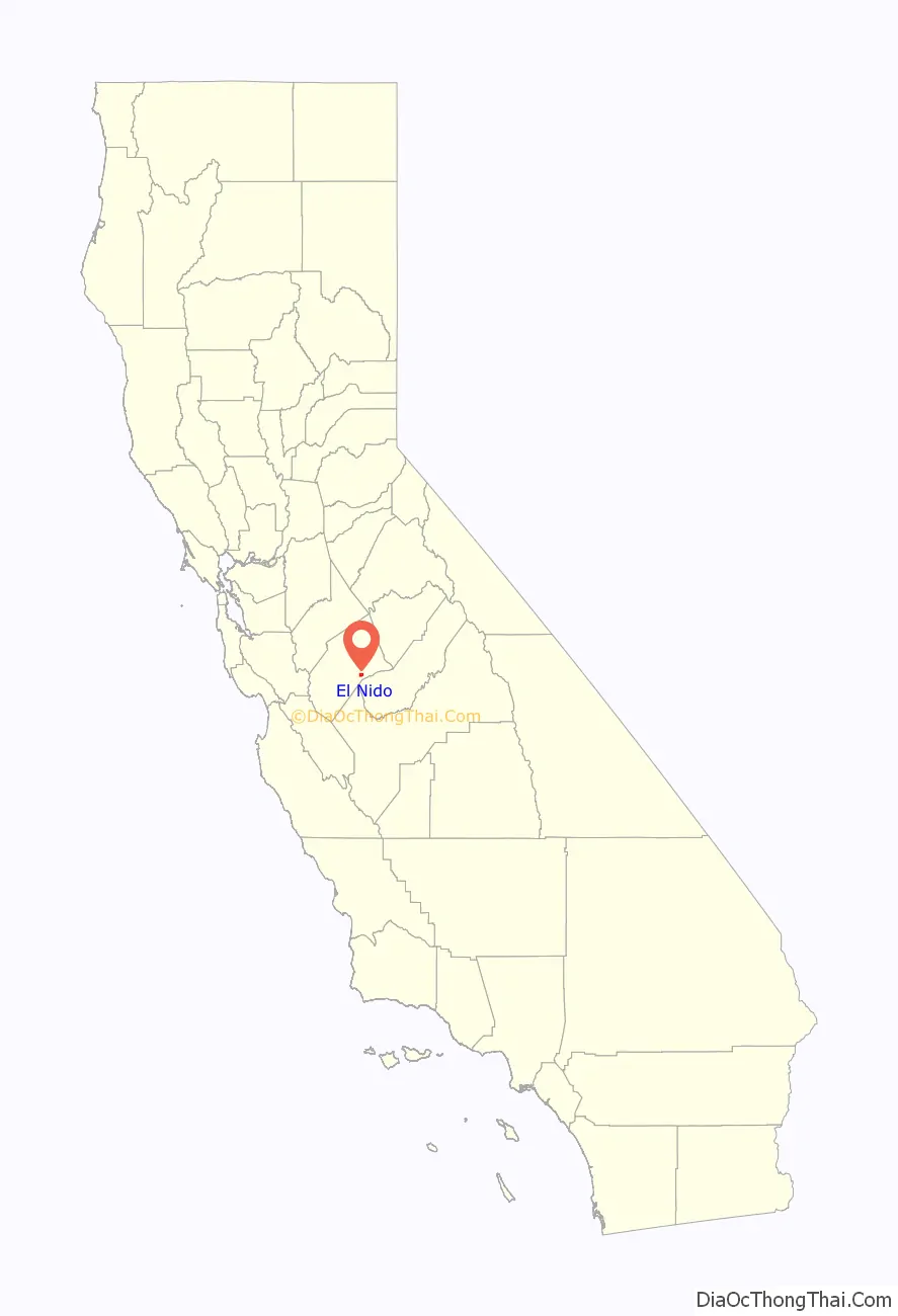
El Nido location map. Where is El Nido CDP?
History
El Nido was founded early in the 20th century when the development of irrigation enabled intensified farming of the area. El Nido is Spanish for “the nest”, and the name is associated with the early Spanish land grant, Rancho Chowchilla. The El Nido School District was created in 1914, and a school building designed by William Bedesen was built in 1915. The El Nido Irrigation District was organized in 1928 and began supplying water for irrigation in 1932. Cotton was the principal crop in the area and a large gin was built there in 1937.
The US Army built the Potter Auxiliary Field (1942-1945) to train World War II pilots in El Nido.
The town has a post office, a tavern, a general store, a volunteer fire department, and an elementary school. After grade 8, students from El Nido must attend high school in Merced.
The first post office opened in 1920.
The ZIP Code is 95317. The town is inside area code 209.
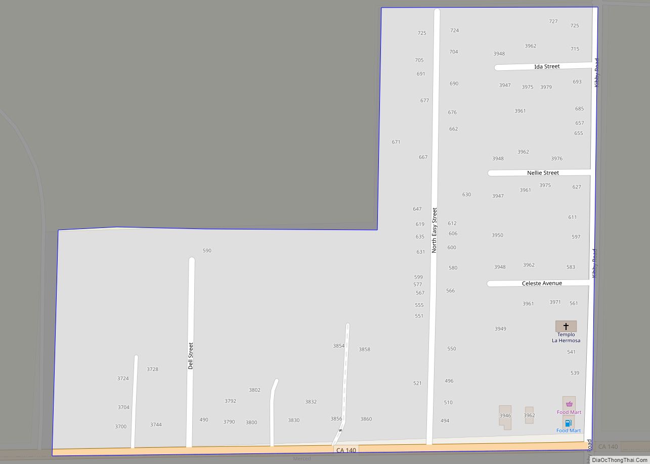
El Nido Road Map
El Nido city Satellite Map
Geography
According to the United States Census Bureau, the CDP covers an area of 3.3 square miles (8.5 km), all of it land.
See also
Map of California State and its subdivision:- Alameda
- Alpine
- Amador
- Butte
- Calaveras
- Colusa
- Contra Costa
- Del Norte
- El Dorado
- Fresno
- Glenn
- Humboldt
- Imperial
- Inyo
- Kern
- Kings
- Lake
- Lassen
- Los Angeles
- Madera
- Marin
- Mariposa
- Mendocino
- Merced
- Modoc
- Mono
- Monterey
- Napa
- Nevada
- Orange
- Placer
- Plumas
- Riverside
- Sacramento
- San Benito
- San Bernardino
- San Diego
- San Francisco
- San Joaquin
- San Luis Obispo
- San Mateo
- Santa Barbara
- Santa Clara
- Santa Cruz
- Shasta
- Sierra
- Siskiyou
- Solano
- Sonoma
- Stanislaus
- Sutter
- Tehama
- Trinity
- Tulare
- Tuolumne
- Ventura
- Yolo
- Yuba
- Alabama
- Alaska
- Arizona
- Arkansas
- California
- Colorado
- Connecticut
- Delaware
- District of Columbia
- Florida
- Georgia
- Hawaii
- Idaho
- Illinois
- Indiana
- Iowa
- Kansas
- Kentucky
- Louisiana
- Maine
- Maryland
- Massachusetts
- Michigan
- Minnesota
- Mississippi
- Missouri
- Montana
- Nebraska
- Nevada
- New Hampshire
- New Jersey
- New Mexico
- New York
- North Carolina
- North Dakota
- Ohio
- Oklahoma
- Oregon
- Pennsylvania
- Rhode Island
- South Carolina
- South Dakota
- Tennessee
- Texas
- Utah
- Vermont
- Virginia
- Washington
- West Virginia
- Wisconsin
- Wyoming