El Rio (/ɛl ˈriːoʊ/ (listen); Spanish: El Río, meaning “The River”) is a small, rural unincorporated town in Ventura County, California, United States, on the northeast side of the 101 Freeway and Oxnard, and south of the Santa Clara River. The town was founded in 1875 and named New Jerusalem by the owner of general store who became the first postmaster in 1882. In 1885, a school and Santa Clara Catholic Church were built. Located near where the coastal railroad line crosses the Santa Clara River, the town’s name was changed to El Rio around 1900. The former wagon river crossing route became the Ventura Freeway which separates the community from the commercial developments that grew up on the southwest side of the freeway. That portion of the historic community and sections closer to the river have been annexed to the city of Oxnard. Vineyard Avenue (State Route 232) is the central business district for the largely residential community.
The population was 7,198 at the 2010 census, up from 6,193 at the time the 2000 census was enumerated. For statistical purposes, the United States Census Bureau has defined a portion of the unincorporated area as El Rio census-designated place (CDP) which does not precisely correspond to the historical community that is much larger with significant portions having been annexed to the city of Oxnard.
| Name: | El Rio CDP |
|---|---|
| LSAD Code: | 57 |
| LSAD Description: | CDP (suffix) |
| State: | California |
| County: | Ventura County |
| Elevation: | 92 ft (28 m) |
| Total Area: | 2.024 sq mi (5.242 km²) |
| Land Area: | 2.024 sq mi (5.242 km²) |
| Water Area: | 0 sq mi (0 km²) 0% |
| Total Population: | 7,198 |
| Population Density: | 3,600/sq mi (1,400/km²) |
| ZIP code: | 93036 (Oxnard P.O.) |
| Area code: | 805 |
| FIPS code: | 0622370 |
Online Interactive Map
Click on ![]() to view map in "full screen" mode.
to view map in "full screen" mode.
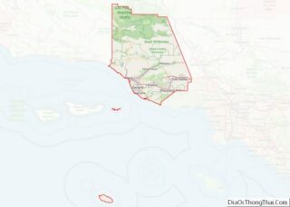
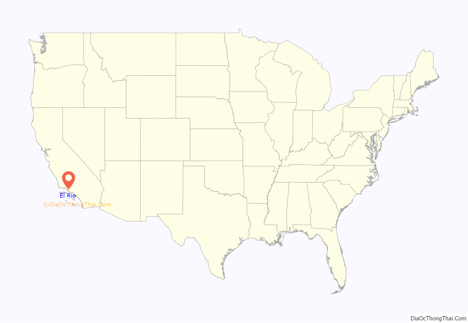
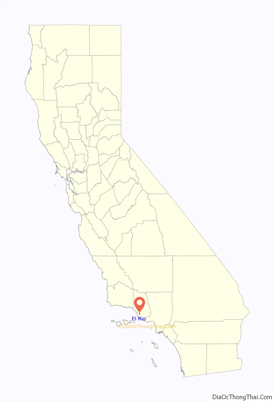
El Rio location map. Where is El Rio CDP?
History
Early inhabitants of the area were the Chumash, a Native American tribe who continue to inhabit the area. The Chumash region extends from Point Conception to Santa Monica and back into the foothills as far as the Coast Range. One of their largest settlements was at nearby Saticoy, because of the bubbling springs that were found there.
On May 6, 1837, Juan M. Sanchez (1791–1873), a former Santa Barbara Presidio soldier, was granted the Rancho Santa Clara del Norte, which contained 13,989 acres (57 km) of land extending from the Santa Clara River south to the northern boundary of present-day Camarillo, and from the present day 101 Freeway east to the west end of South Mountain. Sanchez and his wife, Ines Guevara de Sanchez (1794–1862), had their adobe home built below the western slope of South Mountain, within a heavy group of eucalyptus trees at the east end of present-day Rose Avenue, an avenue that was lined on both sides with tall eucalyptus trees.
The town was founded in 1875 and named New Jerusalem, California, by Simon Cohn (1852–1936), a Prussian Jewish merchant who built a general store at the location. The U.S. Post Office Department established New Jerusalem Post Office on July 26, 1882, and Cohn was appointed the first postmaster. The first one-room schoolhouse was opened in 1885. Santa Clara Catholic Church was founded the same year though services has been conducted since 1877. It was the first Catholic church to be built in Ventura County since the founding of Mission San Buenaventura 95 years earlier.
Octaviano and Rosaria Moraga were early settlers who first came to county in the 1870s from Sonora, Mexico. Octaviano worked as the barkeeper at the New Parian Hotel in Ventura, and ran a boarding house they owned in Ventura. They eventually were able to buy land in New Jerusalem where Octaviano ran a livery stable. He also drove a two-horse stage between Port Hueneme and the Montalvo train station. His descendants were part of the El Rio community up into the 21st century.
On February 14, 1895, the postal authority changed the name of the town to Jerusalem. Four months later, they changed it to Elrio (one word.) In 1905, they changed it to El Rio, two words, which means in Spanish “The River,” referring to the nearby Santa Clara or to El Rio de Santa Clara o La Colonia. The town was at a crossroads on the boundary of two ranchos (El Rio de Santa Clara o La Colonia and Rancho Santa Clara del Norte).
The El Rio Post Office was discontinued on October 31, 1911. It was reestablished in 1953. Until Rio Mesa High School was built on Central Avenue northeast of El Rio and opened in 1965, El Rio students were bused to Oxnard High School and later to Camarillo High School in Camarillo. The post office was discontinued again in 1966.
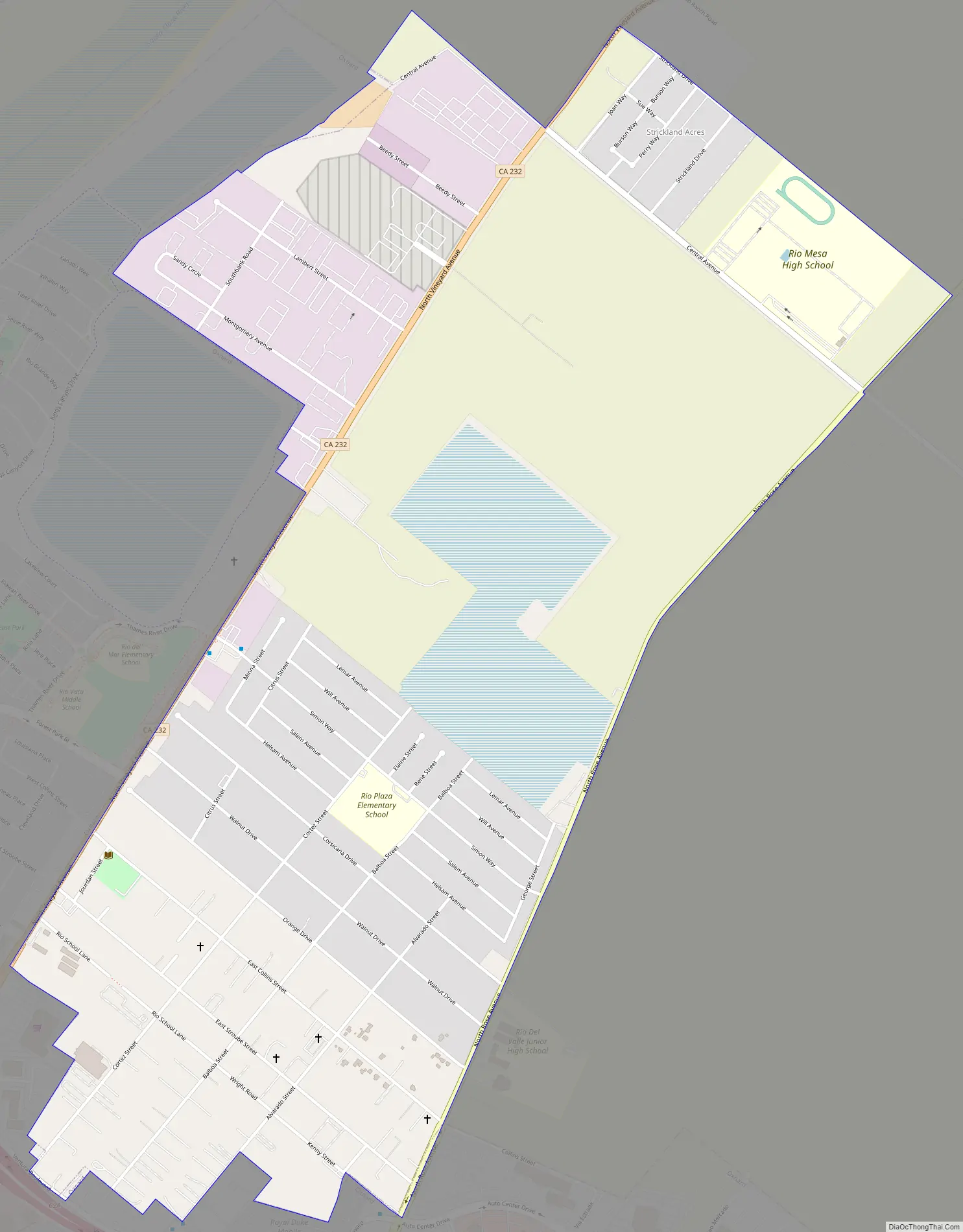
El Rio Road Map
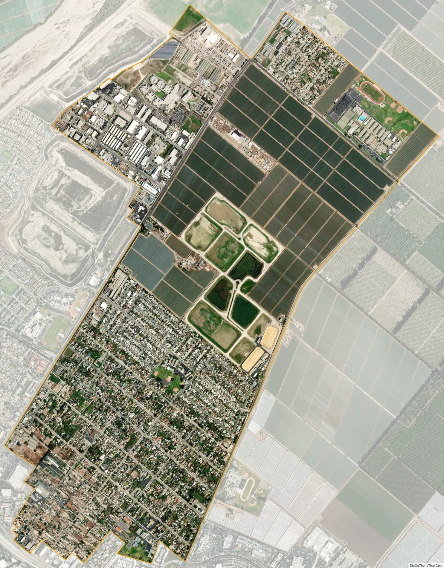
El Rio city Satellite Map
Geography
According to the United States Census Bureau, the census-designated place (CDP) has a total area of 2.0 square miles (5.2 km), all of it land.
East and southeast of town, within the adjoining agricultural area, is the Santa Clara Avenue Oil Field.
It has an average elevation of 80 feet.
See also
Map of California State and its subdivision:- Alameda
- Alpine
- Amador
- Butte
- Calaveras
- Colusa
- Contra Costa
- Del Norte
- El Dorado
- Fresno
- Glenn
- Humboldt
- Imperial
- Inyo
- Kern
- Kings
- Lake
- Lassen
- Los Angeles
- Madera
- Marin
- Mariposa
- Mendocino
- Merced
- Modoc
- Mono
- Monterey
- Napa
- Nevada
- Orange
- Placer
- Plumas
- Riverside
- Sacramento
- San Benito
- San Bernardino
- San Diego
- San Francisco
- San Joaquin
- San Luis Obispo
- San Mateo
- Santa Barbara
- Santa Clara
- Santa Cruz
- Shasta
- Sierra
- Siskiyou
- Solano
- Sonoma
- Stanislaus
- Sutter
- Tehama
- Trinity
- Tulare
- Tuolumne
- Ventura
- Yolo
- Yuba
- Alabama
- Alaska
- Arizona
- Arkansas
- California
- Colorado
- Connecticut
- Delaware
- District of Columbia
- Florida
- Georgia
- Hawaii
- Idaho
- Illinois
- Indiana
- Iowa
- Kansas
- Kentucky
- Louisiana
- Maine
- Maryland
- Massachusetts
- Michigan
- Minnesota
- Mississippi
- Missouri
- Montana
- Nebraska
- Nevada
- New Hampshire
- New Jersey
- New Mexico
- New York
- North Carolina
- North Dakota
- Ohio
- Oklahoma
- Oregon
- Pennsylvania
- Rhode Island
- South Carolina
- South Dakota
- Tennessee
- Texas
- Utah
- Vermont
- Virginia
- Washington
- West Virginia
- Wisconsin
- Wyoming