Saticoy (/ˈsætɪkɔɪ/ (listen); Chumash: Sa’aqtik’oy) is an unincorporated community in Ventura County, California, United States. The settlement was laid out in 1887 along the railroad line that was being built from Los Angeles through the Santa Clara River Valley to the town of San Buenaventura. Although the town was 10 miles (16 km) distant at that time, the City of Ventura grew to a point where the community is now just outside the city limits. For statistical purposes, the United States Census Bureau has defined Saticoy as a census-designated place (CDP).
The commercial district known as Old Town Saticoy is surrounded by a residential neighborhood with a population of just over one thousand. Two historic buildings attest to the important role Saticoy once held in the local agricultural economy: Walnut Growers Association Warehouse, and Saticoy (Lima) Bean Warehouse. The historic setting, stable residential population, railroad, and access to major highways make this community unique in Ventura County.
South towards the Santa Clara River is a sizable industrial area located on both sides of Los Angeles Avenue. The historic building that formerly housed the Farmers & Merchants Bank of Santa Paula, Saticoy Branch, stands at a quiet intersection that used to be at the center of a vibrant community.
| Name: | Saticoy CDP |
|---|---|
| LSAD Code: | 57 |
| LSAD Description: | CDP (suffix) |
| State: | California |
| County: | Ventura County |
| Elevation: | 154 ft (47 m) |
| Total Area: | 0.373 sq mi (0.965 km²) |
| Land Area: | 0.373 sq mi (0.965 km²) |
| Water Area: | 0 sq mi (0 km²) 0% |
| Total Population: | 1,029 |
| Population Density: | 2,800/sq mi (1,100/km²) |
| ZIP code: | 93004 |
| Area code: | 805 |
| FIPS code: | 0670322 |
Online Interactive Map
Click on ![]() to view map in "full screen" mode.
to view map in "full screen" mode.
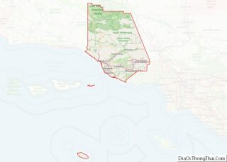
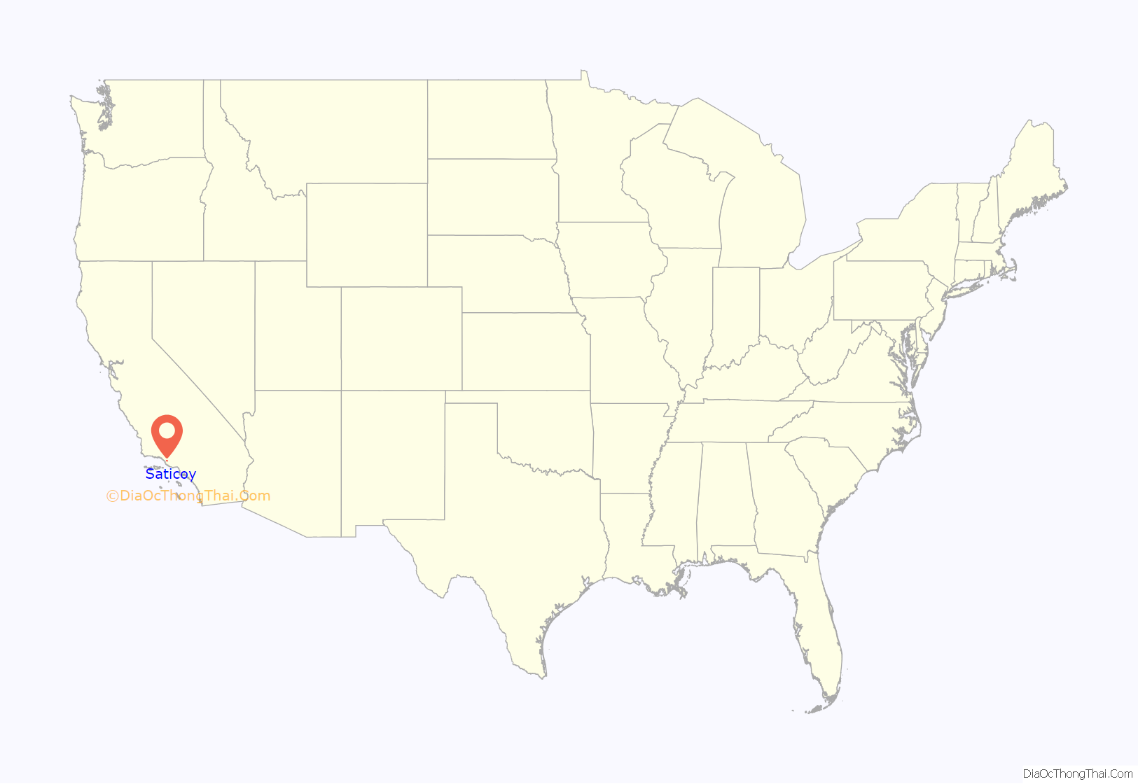
Saticoy location map. Where is Saticoy CDP?

History
The earliest known human inhabitants of the vicinity were the Oak Grove People. Some ancient mealing stones of this prehistoric tribe were found near Saticoy in 1932 and traced back to about 3000 B.C. In about the early 15th century, the Chumash tribe inhabited the area. They built canoes and milled the acorns.
Sa’aqtik’oy was one of the largest settlements of the Chumash region, which extended from Point Conception to Santa Monica and back into the foothills as far as the Coast Range. The natural underground springs located in the area made Saticoy a prime location for the tribe to hold their yearly meetings.
In 1769, the Spanish Portola expedition, first recorded European visitors to inland areas of California, came down the valley from the previous night’s encampment near today’s Santa Paula and camped in the vicinity of Saticoy on August 13. Fray Juan Crespi, a Franciscan missionary traveling with the expedition, noted that the party traveled about 6–7 miles that day and camped near a native village “composed of twenty houses made of grass, in a spherical form, like a half orange, with a vent at the top by which the light enters and the smoke goes out.”.
Saticoy lies within the vast 17,773-acre (72 km) Rancho Santa Paula y Saticoy granted to Manuel Jimeno Casarin on April 28, 1840 by the Mexican government.
In November 1861, Jefferson L. Crane settled at the site of the Chumash village, and other Americans followed soon after. Saticoy, which was then 8 miles (13 km) from Ventura, had a school as early as 1868. W.D.F. Richards, considered the founder of Saticoy, arrived in 1868, and bought 650 acres (2.6 km) of land. He contributed to the building up of the community and followed many experiments in farming.
The Saticoy Post Office was established in 1873 by the U.S. Post Office Department which was one of seventeen post offices operating in the county in 1890. R. G. Surdam was listed on the 1880 census for Saticoy with the occupation of real estate agent. He is known as the founder of the towns of Ojai and Bardsdale and for working with Thomas Bard to build the Hueneme wharf.
The streets and lots in the unincorporated present day “Old Town” were laid out in September 1887 on both sides of the newly opened “Southern Pacific Branch Line: Saugus to Santa Barbara.”
An area west of Wells Road for which another map entitled “Town of Saticoy” was filed as a competing subdivision to benefit from the new railroad. Through the 1800s and early 1900s, very little development occurred in West Saticoy but the “Old Town” area flourished as a small center of the region’s citrus, bean and other produce production. Rail passenger service stopped in 1934.
The community of West Saticoy did develop a small community just west of the “School Lot” as shown on the map. Saticoy School was built on the lot in 1900. The school is now called ATLAS Elementary: Academy of Technology and Leadership at Saticoy and is part of the Ventura Unified School District. This alternative townsite, on the other side of the Brown Barranca from the railroad station, was located on the main road to San Buenaventura. That distant town, incorporated in 1866, has grown so that all of Saticoy, except for “Old Town,” has been annexed into the City of Ventura.
There have been many bridges across the Santa Clara River at Saticoy. They were often washed out due to abundant rainfall and flooding. The most notable washout, however, was due to the flood wave of water caused by the collapse of the St. Francis Dam, in northwest Los Angeles County, which occurred two and a half minutes before midnight on March 12, 1928. The bridge was washed out again in the flood of 1969, and cars were rerouted through the riverbed east of the bridge while it was under repair.
Cabrillo Village
Cabrillo Village was a 32-acre farm laborer (13 ha) camp built in the 1930s. A lengthy confrontation in the 1970s ensued when the growers wanted to raze the cramped, rundown homes for development. The confrontation ended in 1976, when 82 farmworker families, advised by affordable housing advocate Rodney Fernandez, pitched in and bought their deteriorating cottages from the Saticoy Lemon Assn. It was perhaps the first time that U.S. farmworkers had purchased the camp they lived in.” The first cooperative housing association in Ventura County was formed and the 154 apartments and houses in the village are owned by the cooperative. In 1989 Cabrillo Village was selected as a finalist for the Rudy Bruner Award for Urban Excellence. Eventually new housing tracts were built next to the community and it was annexed into the city of Ventura in 1994. The community is located between the river and the railroad tracks and is about equidistant from “Old Town” and West Saticoy.
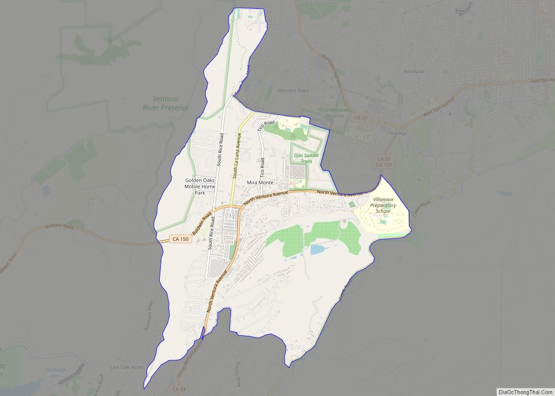
Saticoy Road Map

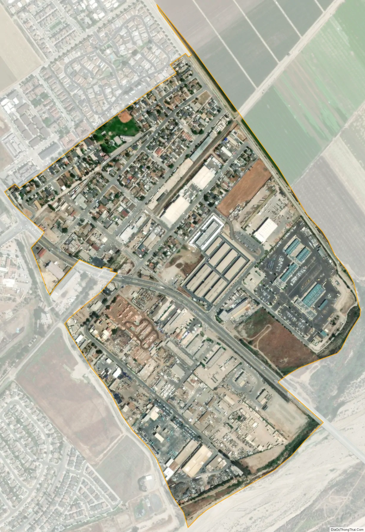
Saticoy city Satellite Map
Geography
Saticoy is near an apex of this compound alluvial fan formed by the river and Calleguas Creek. The Santa Clara River Valley opens up into the Oxnard Plain here as South Mountain on the south shore marks the end of the valley. Located on the fertile north bank of the Santa Clara River the shore of the Santa Barbara Channel is some 8 miles distant. Agriculture in the area includes avocados, lemons, oranges, strawberries, and many other row crops. Along the shore of the Santa Clara River, amidst the agriculture area east and northeast of the town, is the Saticoy Oil Field, discovered in 1955 and operated by Vintage Petroleum. The city of Ventura is adjacent to the community on the north and west side. The Census Bureau definition of the area does not precisely correspond to the local understanding of the historical area of the community.
See also
Map of California State and its subdivision:- Alameda
- Alpine
- Amador
- Butte
- Calaveras
- Colusa
- Contra Costa
- Del Norte
- El Dorado
- Fresno
- Glenn
- Humboldt
- Imperial
- Inyo
- Kern
- Kings
- Lake
- Lassen
- Los Angeles
- Madera
- Marin
- Mariposa
- Mendocino
- Merced
- Modoc
- Mono
- Monterey
- Napa
- Nevada
- Orange
- Placer
- Plumas
- Riverside
- Sacramento
- San Benito
- San Bernardino
- San Diego
- San Francisco
- San Joaquin
- San Luis Obispo
- San Mateo
- Santa Barbara
- Santa Clara
- Santa Cruz
- Shasta
- Sierra
- Siskiyou
- Solano
- Sonoma
- Stanislaus
- Sutter
- Tehama
- Trinity
- Tulare
- Tuolumne
- Ventura
- Yolo
- Yuba
- Alabama
- Alaska
- Arizona
- Arkansas
- California
- Colorado
- Connecticut
- Delaware
- District of Columbia
- Florida
- Georgia
- Hawaii
- Idaho
- Illinois
- Indiana
- Iowa
- Kansas
- Kentucky
- Louisiana
- Maine
- Maryland
- Massachusetts
- Michigan
- Minnesota
- Mississippi
- Missouri
- Montana
- Nebraska
- Nevada
- New Hampshire
- New Jersey
- New Mexico
- New York
- North Carolina
- North Dakota
- Ohio
- Oklahoma
- Oregon
- Pennsylvania
- Rhode Island
- South Carolina
- South Dakota
- Tennessee
- Texas
- Utah
- Vermont
- Virginia
- Washington
- West Virginia
- Wisconsin
- Wyoming