Interlaken is a census-designated place (CDP) in Santa Cruz County, California, United States. The population was 7,368 at the 2020 census.
| Name: | Interlaken CDP |
|---|---|
| LSAD Code: | 57 |
| LSAD Description: | CDP (suffix) |
| State: | California |
| County: | Santa Cruz County |
| Elevation: | 128 ft (39 m) |
| Total Area: | 10.202 sq mi (26.423 km²) |
| Land Area: | 9.805 sq mi (25.396 km²) |
| Water Area: | 0.397 sq mi (1.027 km²) 3.89% |
| Total Population: | 7,368 |
| Population Density: | 720/sq mi (280/km²) |
| ZIP code: | 95076 |
| Area code: | 831 |
| FIPS code: | 0636613 |
| GNISfeature ID: | 1867031 |
Online Interactive Map
Click on ![]() to view map in "full screen" mode.
to view map in "full screen" mode.
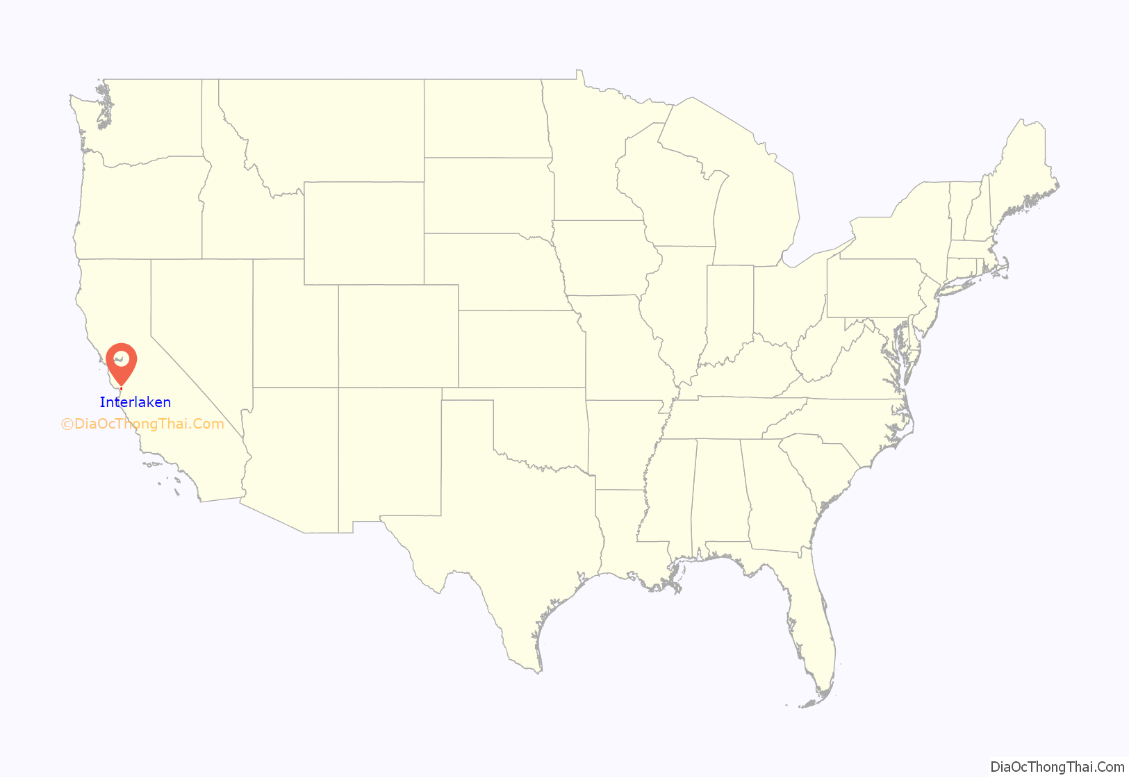
Interlaken location map. Where is Interlaken CDP?
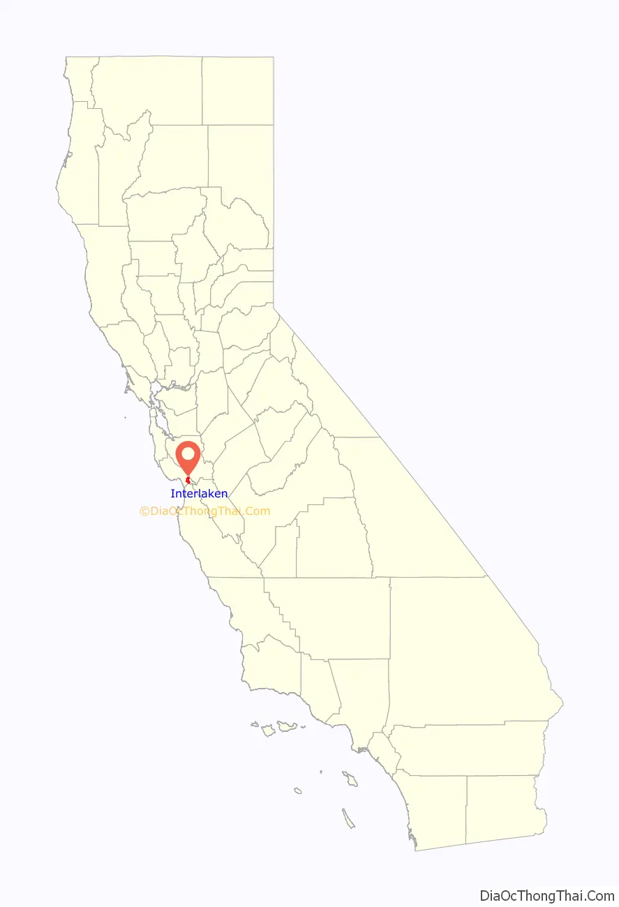
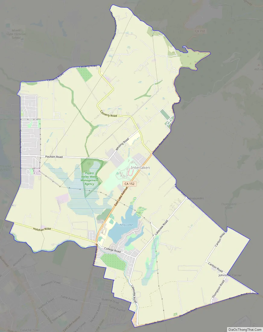
Interlaken Road Map
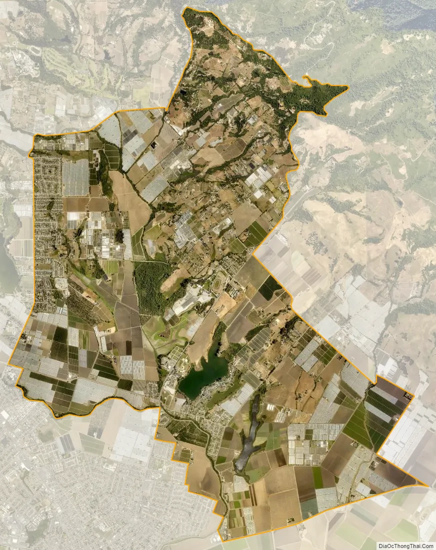
Interlaken city Satellite Map
Geography
Interlaken is located at 36°57′23″N 121°44′44″W / 36.95639°N 121.74556°W / 36.95639; -121.74556 (36.956293, -121.745433).
According to the United States Census Bureau, the CDP has a total area of 10.2 square miles (26 km), of which, 9.8 square miles (25 km) of it is land and 0.4 square miles (1.0 km) of it (3.89%) is water.
Climate
Interlaken has a warm summer Mediterranean climate (Köppen climate classification Csb) typical of coastal areas of California. Based on those records, average January temperatures range between 61.5 °F (16.4 °C) and 40.0 °F (4.4 °C) and average September temperatures range between 74.9 °F (23.8 °C) and 52.4 °F (11.3 °C). Annual precipitation averages 30.29 inches (769 mm)
There are an average of 63.4 days annually with measurable precipitation, most of which falls from October through May. Summer fogs often produce light drizzle in the night and morning hours. Condensation from the fogs also produces fog drip from trees overnight. No measurable snowfall has been recorded since records began.
See also
Map of California State and its subdivision:- Alameda
- Alpine
- Amador
- Butte
- Calaveras
- Colusa
- Contra Costa
- Del Norte
- El Dorado
- Fresno
- Glenn
- Humboldt
- Imperial
- Inyo
- Kern
- Kings
- Lake
- Lassen
- Los Angeles
- Madera
- Marin
- Mariposa
- Mendocino
- Merced
- Modoc
- Mono
- Monterey
- Napa
- Nevada
- Orange
- Placer
- Plumas
- Riverside
- Sacramento
- San Benito
- San Bernardino
- San Diego
- San Francisco
- San Joaquin
- San Luis Obispo
- San Mateo
- Santa Barbara
- Santa Clara
- Santa Cruz
- Shasta
- Sierra
- Siskiyou
- Solano
- Sonoma
- Stanislaus
- Sutter
- Tehama
- Trinity
- Tulare
- Tuolumne
- Ventura
- Yolo
- Yuba
- Alabama
- Alaska
- Arizona
- Arkansas
- California
- Colorado
- Connecticut
- Delaware
- District of Columbia
- Florida
- Georgia
- Hawaii
- Idaho
- Illinois
- Indiana
- Iowa
- Kansas
- Kentucky
- Louisiana
- Maine
- Maryland
- Massachusetts
- Michigan
- Minnesota
- Mississippi
- Missouri
- Montana
- Nebraska
- Nevada
- New Hampshire
- New Jersey
- New Mexico
- New York
- North Carolina
- North Dakota
- Ohio
- Oklahoma
- Oregon
- Pennsylvania
- Rhode Island
- South Carolina
- South Dakota
- Tennessee
- Texas
- Utah
- Vermont
- Virginia
- Washington
- West Virginia
- Wisconsin
- Wyoming


