Kelly Ridge is a census-designated place in Butte County, northern California.
| Name: | Kelly Ridge CDP |
|---|---|
| LSAD Code: | 57 |
| LSAD Description: | CDP (suffix) |
| State: | California |
| County: | Butte County |
| Elevation: | 1,050 ft (320 m) |
| Total Area: | 1.951 sq mi (5.054 km²) |
| Land Area: | 1.951 sq mi (5.054 km²) |
| Water Area: | 0 sq mi (0 km²) 0% |
| Total Population: | 2,544 |
| Population Density: | 1,300/sq mi (500/km²) |
| FIPS code: | 0638024 |
| GNISfeature ID: | 2612483 |
Online Interactive Map
Click on ![]() to view map in "full screen" mode.
to view map in "full screen" mode.
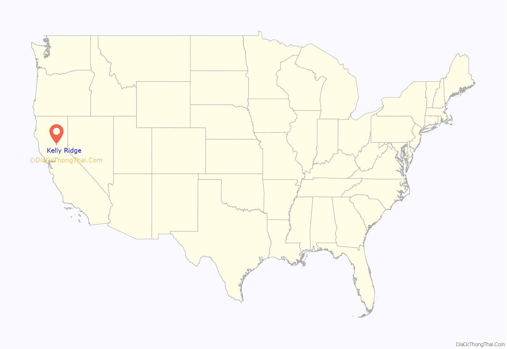
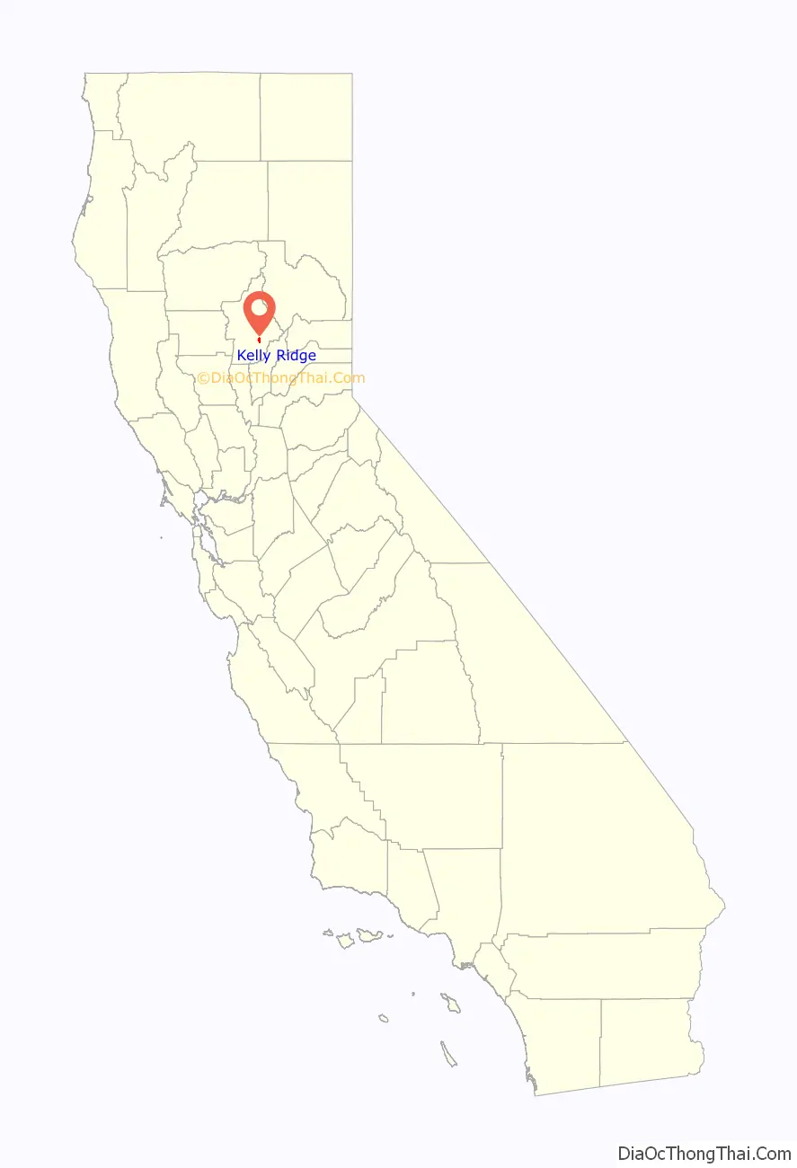
Kelly Ridge location map. Where is Kelly Ridge CDP?
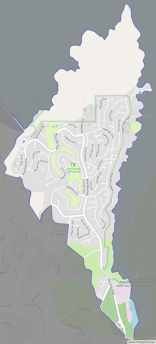
Kelly Ridge Road Map
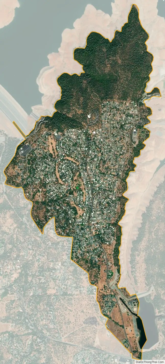
Kelly Ridge city Satellite Map
Geography
Kelly Ridge sits at an elevation of 1050 feet (320 m), on a ridge above Lake Oroville reservoir in the Sierra Nevada foothills. The community of Kelly Ridge offers direct access to boating, camping, fishing and a variety of water sports. This neighborhood is closely connected to the city of Oroville and is a popular place to retire and enjoy the outdoors.
The 2010 United States census reported Kelly Ridge’s population was 2,544.
See also
Map of California State and its subdivision:- Alameda
- Alpine
- Amador
- Butte
- Calaveras
- Colusa
- Contra Costa
- Del Norte
- El Dorado
- Fresno
- Glenn
- Humboldt
- Imperial
- Inyo
- Kern
- Kings
- Lake
- Lassen
- Los Angeles
- Madera
- Marin
- Mariposa
- Mendocino
- Merced
- Modoc
- Mono
- Monterey
- Napa
- Nevada
- Orange
- Placer
- Plumas
- Riverside
- Sacramento
- San Benito
- San Bernardino
- San Diego
- San Francisco
- San Joaquin
- San Luis Obispo
- San Mateo
- Santa Barbara
- Santa Clara
- Santa Cruz
- Shasta
- Sierra
- Siskiyou
- Solano
- Sonoma
- Stanislaus
- Sutter
- Tehama
- Trinity
- Tulare
- Tuolumne
- Ventura
- Yolo
- Yuba
- Alabama
- Alaska
- Arizona
- Arkansas
- California
- Colorado
- Connecticut
- Delaware
- District of Columbia
- Florida
- Georgia
- Hawaii
- Idaho
- Illinois
- Indiana
- Iowa
- Kansas
- Kentucky
- Louisiana
- Maine
- Maryland
- Massachusetts
- Michigan
- Minnesota
- Mississippi
- Missouri
- Montana
- Nebraska
- Nevada
- New Hampshire
- New Jersey
- New Mexico
- New York
- North Carolina
- North Dakota
- Ohio
- Oklahoma
- Oregon
- Pennsylvania
- Rhode Island
- South Carolina
- South Dakota
- Tennessee
- Texas
- Utah
- Vermont
- Virginia
- Washington
- West Virginia
- Wisconsin
- Wyoming


