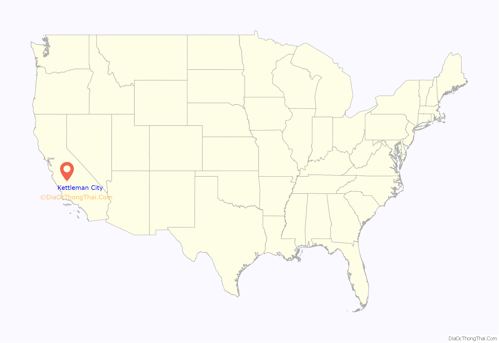
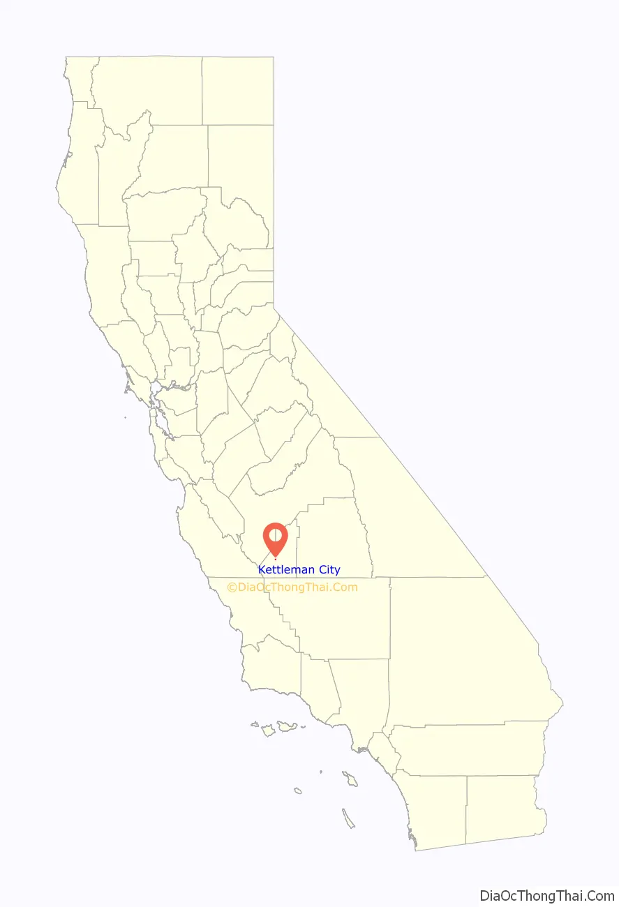
Kettleman City is a census-designated place (CDP) in Kings County, California, United States. Kettleman City is located 28 miles (45 km) southwest of Hanford, 54 miles (88 km) south of Fresno, at an elevation of 253 feet (77 m), and sits only about 1/2 mile north of the 36th parallel north latitude. It is part of the Hanford–Corcoran Metropolitan Statistical Area. The population was 1,242 at the 2020 census, down from 1,439 at the 2010 census. When travelling between Los Angeles and either San Francisco or Sacramento via Interstate 5, Kettleman City (at Exit 309) is near the halfway point, and is thus a major stopping point for food and lodging.
| Name: | Kettleman City CDP |
|---|---|
| LSAD Code: | 57 |
| LSAD Description: | CDP (suffix) |
| State: | California |
| County: | Kings County |
| Elevation: | 253 ft (77 m) |
| Total Area: | 0.211 sq mi (0.546 km²) |
| Land Area: | 0.211 sq mi (0.546 km²) |
| Water Area: | 0.000 sq mi (0.000 km²) |
| Total Population: | 1,242 |
| Population Density: | 5,900/sq mi (2,300/km²) |
| ZIP code: | 93239 |
| Area code: | 559 |
| FIPS code: | 0638394 |
| GNISfeature ID: | 1652733 |
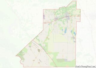
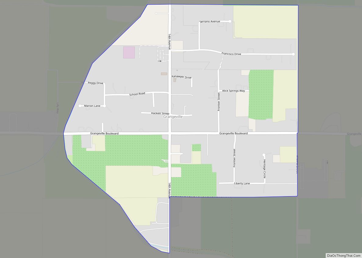
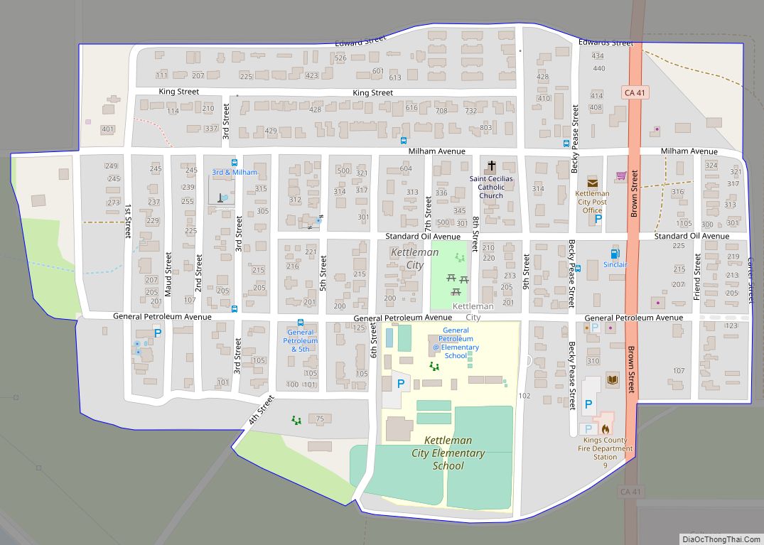
Online Interactive Map
Click on ![]() to view map in "full screen" mode.
to view map in "full screen" mode.
Kettleman City location map. Where is Kettleman City CDP?
History
The Kettleman Hills were named after Dave Kettelman (with a change in spelling), a pioneer sheep-raiser and cattleman who grazed his animals there in the 1860s. Kettleman Hills in the early 1900s was a crossing for people who would travel from Lemoore to Kettleman City by ferry. As the Tulare Lake receded in the late 1920s, this stretch between the two cities became State Route 41.
Oil was discovered in the Kettleman Hills in 1928, at the Kettleman North Dome Oil Field, which became one of the most productive oil fields in the United States in the early 1930s. Reportedly, thousands of spectators came to see the gusher that spouted almost pure gasoline for weeks.
A. Manford Brown, a real estate developer, founded the town of Kettleman City in 1929. He donated land for a school and for the community church. The main street (State Route 41) was called Brown Street after him. The first post office opened in 1929. A branch library was established in 1930. By 1940, Kettleman City had a population of about 600.
The early 1970s saw two substantial projects that had significant impacts on the community: the completion of the California Aqueduct and the opening of Interstate 5. The facility operated by Waste Management, Inc. opened in the late 1970s.
Despite the name, Kettleman City is not an incorporated city and remains a census-designated place.
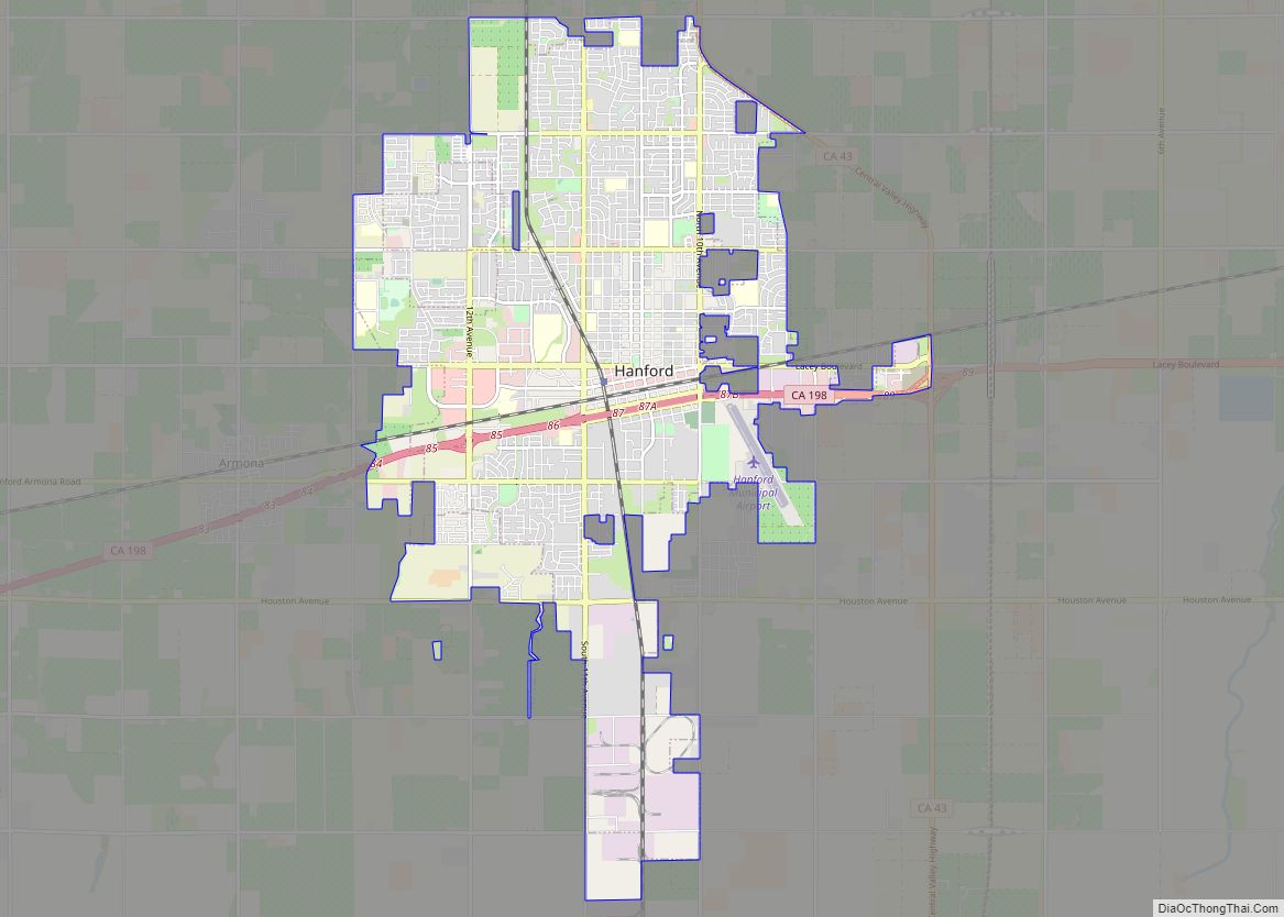
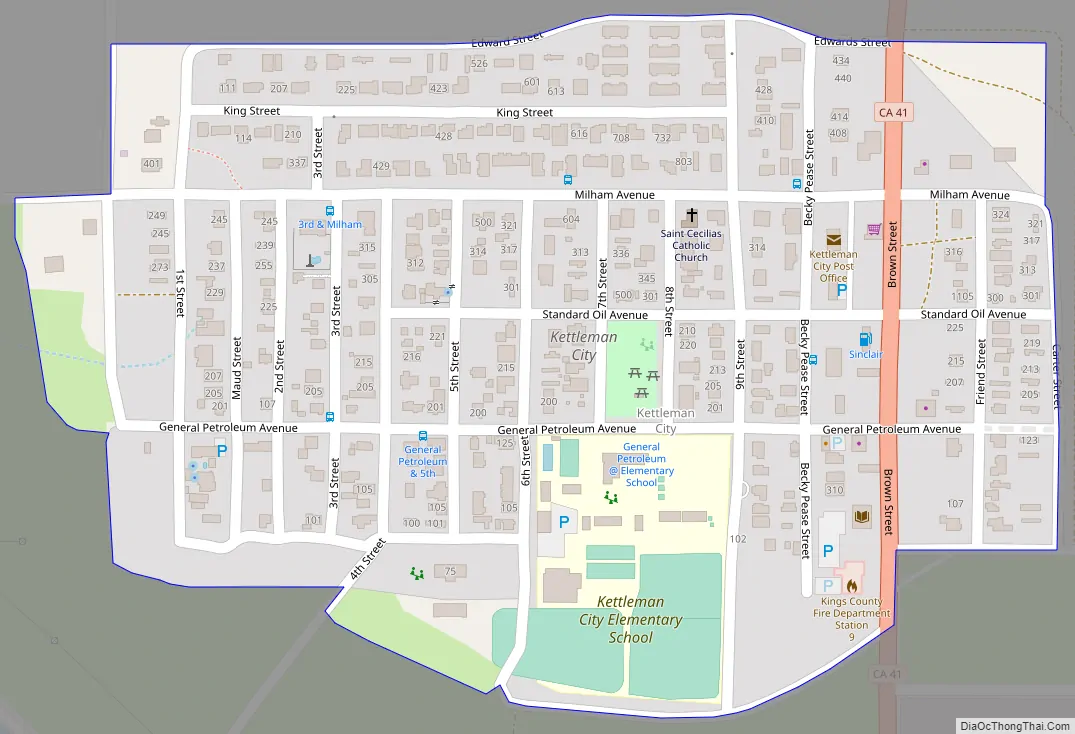
Kettleman City Road Map
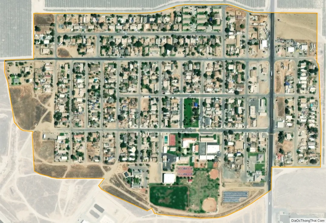
Kettleman City city Satellite Map
Geography
Kettleman City is located on the west side of the San Joaquin Valley at the base of the Kettleman Hills, near the historic shoreline of what used to be Tulare Lake. Its coordinates are 36°00′30″N 119°57′42″W / 36.00833°N 119.96167°W / 36.00833; -119.96167.
According to the United States Census Bureau, the CDP has a total area of 0.2 square miles (0.52 km), all of it land.
Kettleman City is divided into two areas. The commercial zone of gas, food and lodging businesses is at Kettleman Junction, where Interstate 5 and State Route 41 meet. The residential area together with some retail businesses and county government buildings is located about 1.2 mi (1.9 km) north on State Route 41. The California Aqueduct crosses State Route 41 between these two areas.
Climate
Kettleman City has a semi-arid climate (Köppen: BSk/BSh) typical of that of the San Joaquin Valley, with hot, dry summers and cool winters characterized by dense tule fog. The average annual precipitation is 7.50 in (191 mm), falling mainly from November through April. It is located in hardiness zone 9a.
See also
Map of California State and its subdivision:- Alameda
- Alpine
- Amador
- Butte
- Calaveras
- Colusa
- Contra Costa
- Del Norte
- El Dorado
- Fresno
- Glenn
- Humboldt
- Imperial
- Inyo
- Kern
- Kings
- Lake
- Lassen
- Los Angeles
- Madera
- Marin
- Mariposa
- Mendocino
- Merced
- Modoc
- Mono
- Monterey
- Napa
- Nevada
- Orange
- Placer
- Plumas
- Riverside
- Sacramento
- San Benito
- San Bernardino
- San Diego
- San Francisco
- San Joaquin
- San Luis Obispo
- San Mateo
- Santa Barbara
- Santa Clara
- Santa Cruz
- Shasta
- Sierra
- Siskiyou
- Solano
- Sonoma
- Stanislaus
- Sutter
- Tehama
- Trinity
- Tulare
- Tuolumne
- Ventura
- Yolo
- Yuba
- Alabama
- Alaska
- Arizona
- Arkansas
- California
- Colorado
- Connecticut
- Delaware
- District of Columbia
- Florida
- Georgia
- Hawaii
- Idaho
- Illinois
- Indiana
- Iowa
- Kansas
- Kentucky
- Louisiana
- Maine
- Maryland
- Massachusetts
- Michigan
- Minnesota
- Mississippi
- Missouri
- Montana
- Nebraska
- Nevada
- New Hampshire
- New Jersey
- New Mexico
- New York
- North Carolina
- North Dakota
- Ohio
- Oklahoma
- Oregon
- Pennsylvania
- Rhode Island
- South Carolina
- South Dakota
- Tennessee
- Texas
- Utah
- Vermont
- Virginia
- Washington
- West Virginia
- Wisconsin
- Wyoming