Ladera Ranch is a master-planned community and census-designated place located in south Orange County, California, just outside the city limits of San Juan Capistrano, Rancho Santa Margarita and Mission Viejo.
| Name: | Ladera Ranch CDP |
|---|---|
| LSAD Code: | 57 |
| LSAD Description: | CDP (suffix) |
| State: | California |
| County: | Orange County |
| Elevation: | 404 ft (123 m) |
| Total Area: | 4.905 sq mi (12.703 km²) |
| Land Area: | 4.905 sq mi (12.703 km²) |
| Water Area: | 0 sq mi (0 km²) 0% |
| Total Population: | 26,170 |
| Population Density: | 5,300/sq mi (2,100/km²) |
| ZIP code: | 92694 |
| Area code: | 949 |
| FIPS code: | 0639114 |
Online Interactive Map
Click on ![]() to view map in "full screen" mode.
to view map in "full screen" mode.
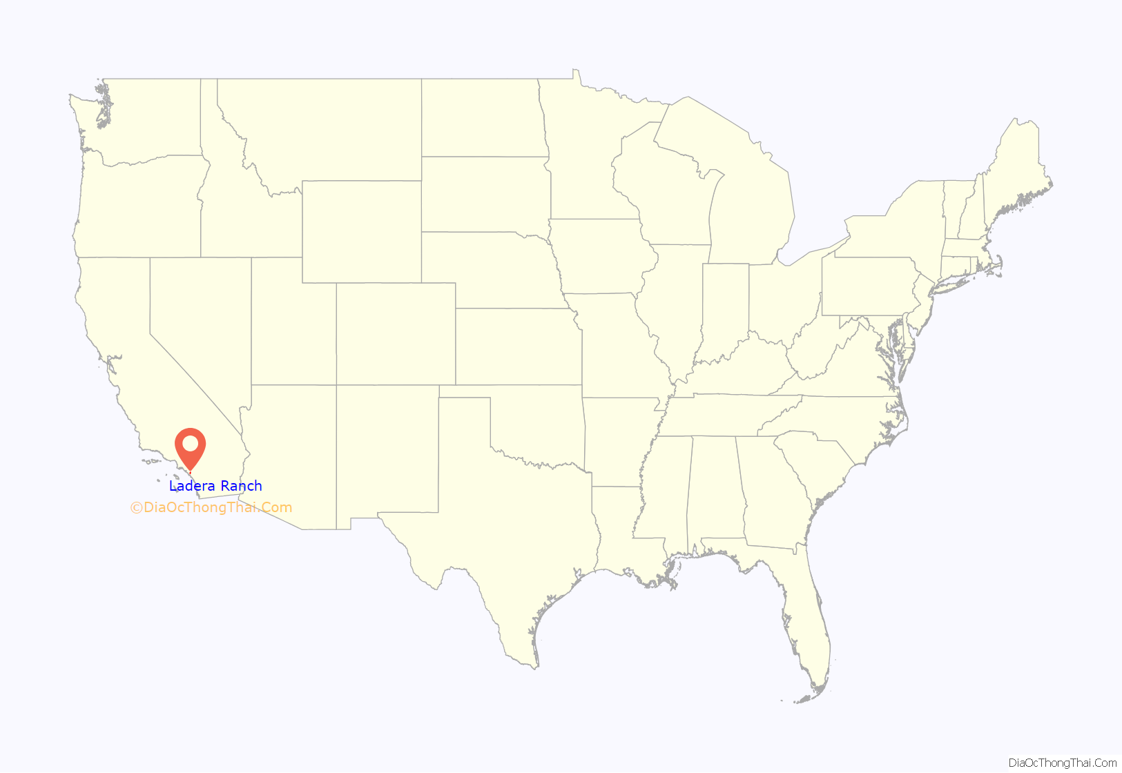
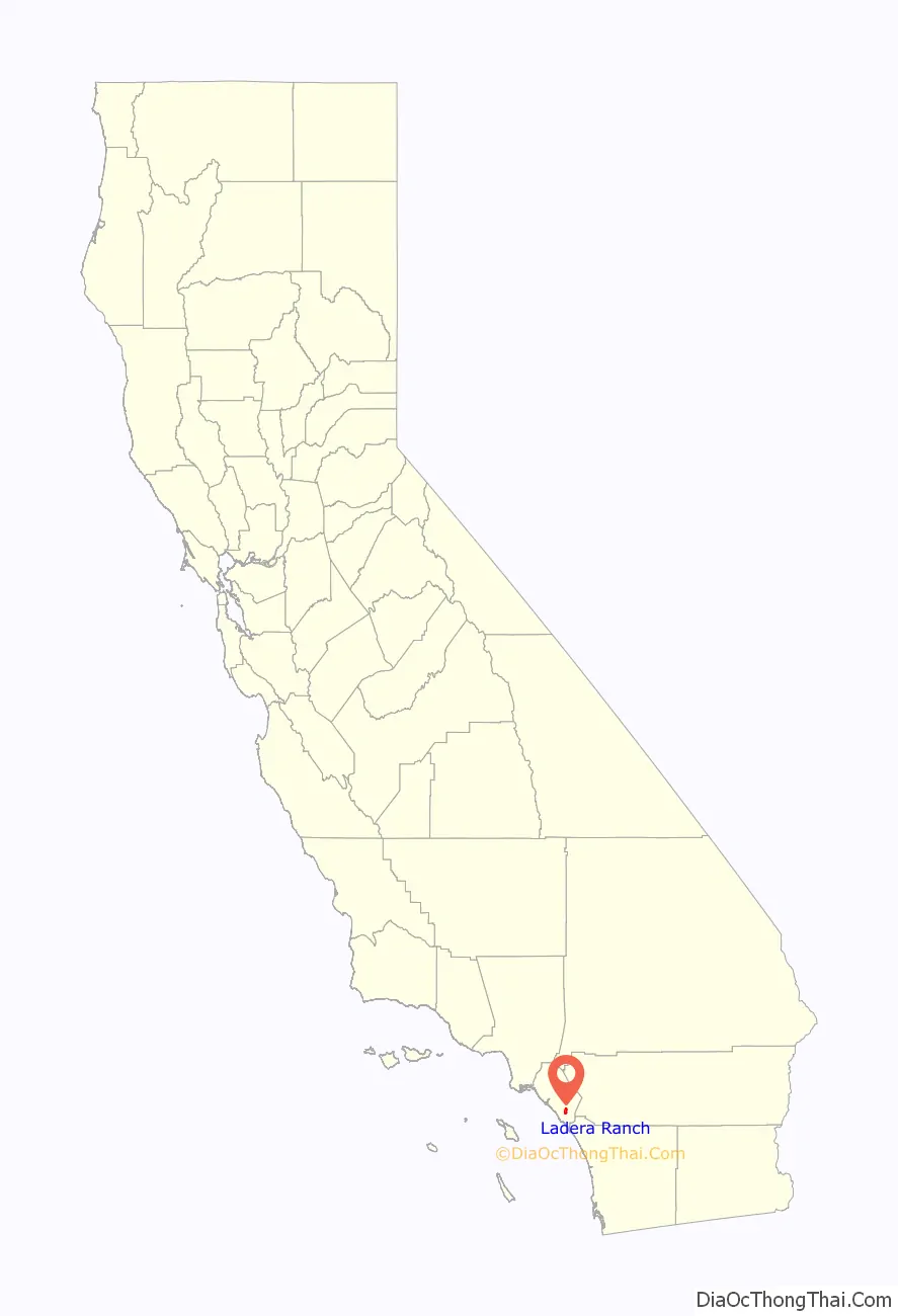
Ladera Ranch location map. Where is Ladera Ranch CDP?
History
Ladera Ranch is a 4,000 acres (16 km) planned community, bordered by the cities of Mission Viejo and San Juan Capistrano to the west and the city of Rancho Santa Margarita to the north.[1] Located along Antonio Parkway and Crown Valley Parkway, construction of the community began in 1999 on portions of the O’Neill, Avery, & Moiso families’ 23,000 acres (93 km) Rancho Mission Viejo cattle ranch, which was the largest remaining working ranch in Orange County.
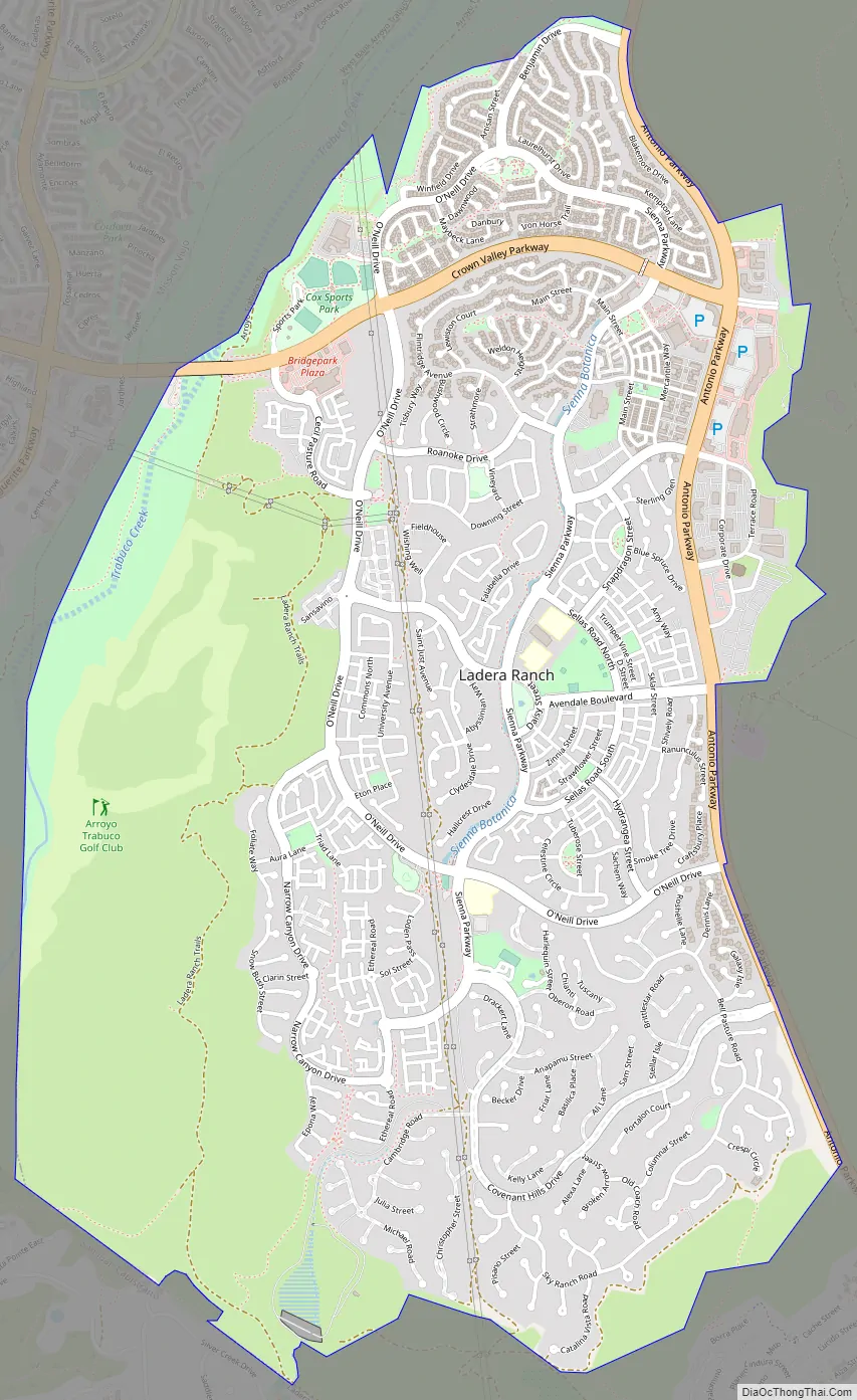
Ladera Ranch Road Map
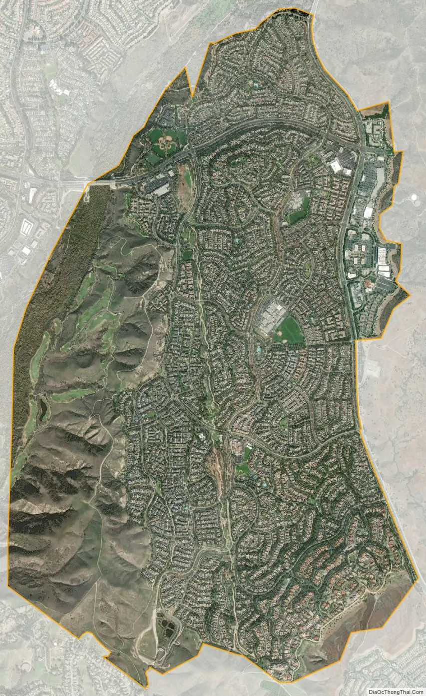
Ladera Ranch city Satellite Map
Geography
Ladera Ranch is located in the foothills of the Orange County Saddleback.
Design and development
The Ladera Ranch development is divided into nine “villages”. Within each village, individual builders develop an area called a neighborhood. There are ten or more neighborhoods per village. The villages are:
- Oak Knoll Village
- Bridgepark
- Flintridge Village
- Township
- Wycliffe Village
- Echo Ridge Village
- Avendale Villages
- Terramor Village
- Covenant Hills
Five of the nine villages have clubhouses themed on a particular architecture style that is emphasized within that village. There are also parks, pools, playgrounds and open areas within each village. The Covenant Hills village is a gated community which is closed to the general public, but accessible to all card-carrying residents of Ladera Ranch. There are no other gated villages in the community.
In addition to the various clubhouses, the community has a private water park and skate park, 18 community parks, a dog park, six smaller neighborhood pools, many pocket parks and green belts, shopping districts called Mercantile East and Mercantile West Shopping Centers, and miles of hiking/biking trails that connect to Doheny Beach.
See also
Map of California State and its subdivision:- Alameda
- Alpine
- Amador
- Butte
- Calaveras
- Colusa
- Contra Costa
- Del Norte
- El Dorado
- Fresno
- Glenn
- Humboldt
- Imperial
- Inyo
- Kern
- Kings
- Lake
- Lassen
- Los Angeles
- Madera
- Marin
- Mariposa
- Mendocino
- Merced
- Modoc
- Mono
- Monterey
- Napa
- Nevada
- Orange
- Placer
- Plumas
- Riverside
- Sacramento
- San Benito
- San Bernardino
- San Diego
- San Francisco
- San Joaquin
- San Luis Obispo
- San Mateo
- Santa Barbara
- Santa Clara
- Santa Cruz
- Shasta
- Sierra
- Siskiyou
- Solano
- Sonoma
- Stanislaus
- Sutter
- Tehama
- Trinity
- Tulare
- Tuolumne
- Ventura
- Yolo
- Yuba
- Alabama
- Alaska
- Arizona
- Arkansas
- California
- Colorado
- Connecticut
- Delaware
- District of Columbia
- Florida
- Georgia
- Hawaii
- Idaho
- Illinois
- Indiana
- Iowa
- Kansas
- Kentucky
- Louisiana
- Maine
- Maryland
- Massachusetts
- Michigan
- Minnesota
- Mississippi
- Missouri
- Montana
- Nebraska
- Nevada
- New Hampshire
- New Jersey
- New Mexico
- New York
- North Carolina
- North Dakota
- Ohio
- Oklahoma
- Oregon
- Pennsylvania
- Rhode Island
- South Carolina
- South Dakota
- Tennessee
- Texas
- Utah
- Vermont
- Virginia
- Washington
- West Virginia
- Wisconsin
- Wyoming


