Lindsay is a city in Tulare County, California, United States. The population was 12,659 at the 2020 census. Lindsay is located southeast of Visalia and north of Porterville and is considered part of the Visalia-Porterville Metropolitan Area and the Porterville Urban Area by the United States Census Bureau.
| Name: | Lindsay city |
|---|---|
| LSAD Code: | 25 |
| LSAD Description: | city (suffix) |
| State: | California |
| County: | Tulare County |
| Incorporated: | February 28, 1910 |
| Elevation: | 387 ft (118 m) |
| Total Area: | 2.72 sq mi (7.05 km²) |
| Land Area: | 2.72 sq mi (7.05 km²) |
| Water Area: | 0.00 sq mi (0.00 km²) 0% |
| Total Population: | 12,659 |
| Population Density: | 4,944.18/sq mi (1,908.64/km²) |
| ZIP code: | 93247 |
| Area code: | 559 |
| FIPS code: | 0641712 |
| GNISfeature ID: | 1652744 |
| Website: | www.lindsay.ca.us |
Online Interactive Map
Click on ![]() to view map in "full screen" mode.
to view map in "full screen" mode.
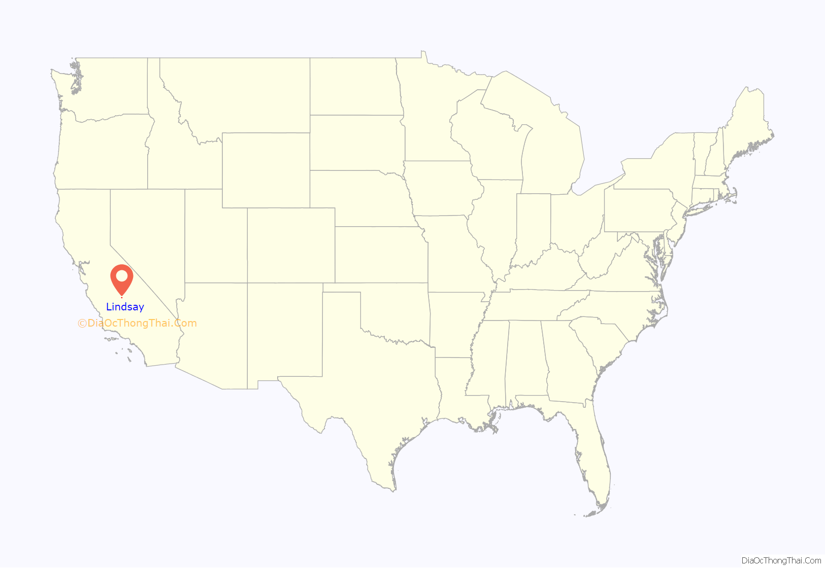
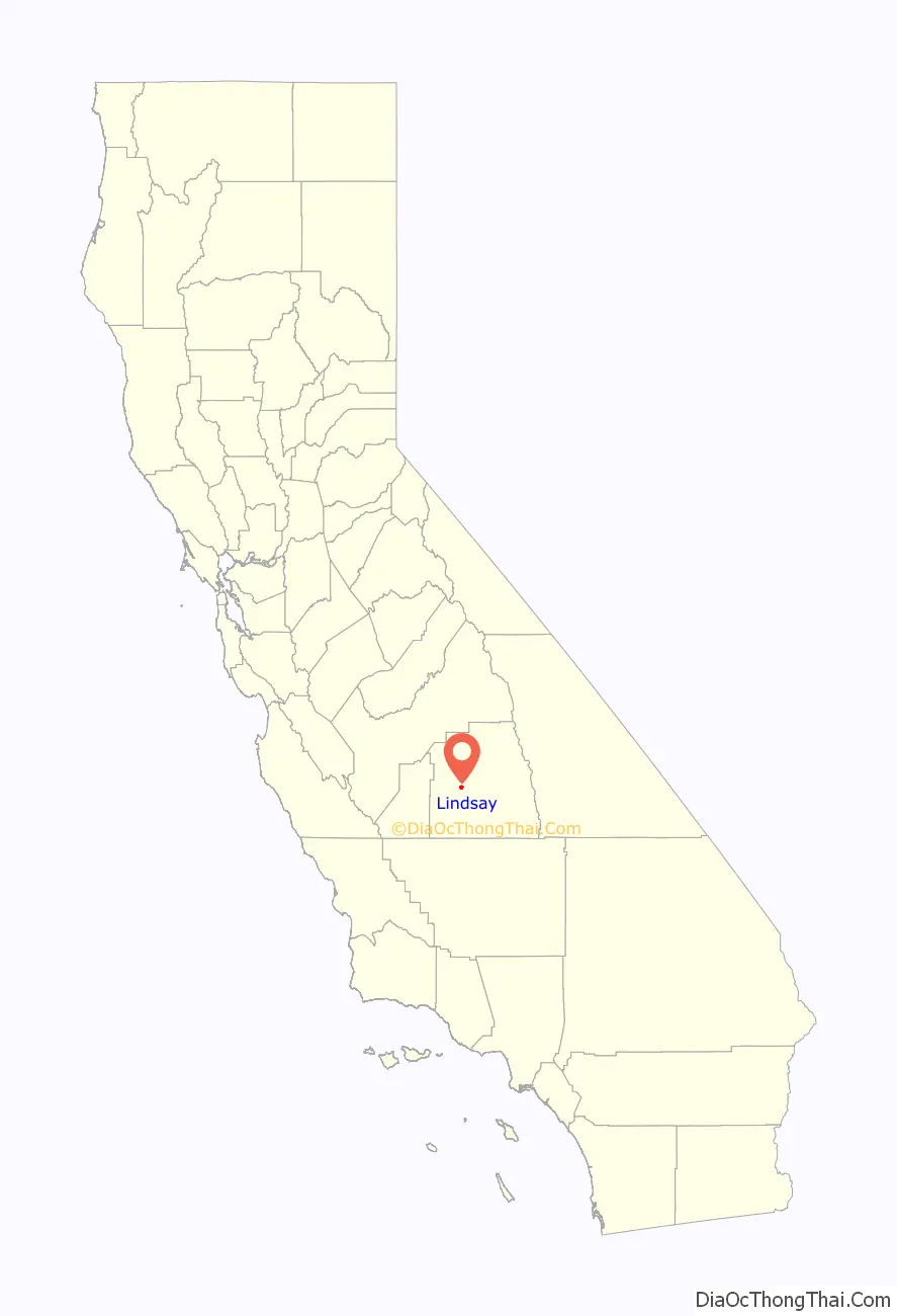
Lindsay location map. Where is Lindsay city?
History
The Yandanchei tribe of Native Americans came to hunt and fish at the future site of Lindsay for centuries. Future Military Governor of California John C. Frémont passed through twice by way of the Stockton – Los Angeles Road and the later Butterfield Overland Mail route on two of his four exploration trips. Julius Orton, a seventh generation descendant of Thomas, served as security for a pack train headed for Placerville, a booming California gold mining town, motivated by his futile search for gold. In 1859, with his wife and two small daughters, and driving a small herd of cattle, walked more than 200 miles (320 km) from the coast near Sacramento, to a homestead along the Tule River, southwest of Lindsay. In the 1880s, Julius Orton homesteaded another (160 acres (0.65 km)) piece of land bordering on the property of pioneers Lewis and John Keeley, brothers who had taken on a homestead just a few miles southwest of Lindsay in the mid-1870s.
In 1889, the founder of the City of Lindsay, Captain Arthur Hutchinson, moved to California because of his ill health. He moved to the Lindsay area and bought 2,000 acres (8.1 km) to found the Lindsay Land Company. When the Southern Pacific Railroad came through the area in 1889, development of the Lindsay townsite was begun. Hutchinson laid out the plan for the township, and named the community after his wife, Sadie Lindsay Patton Hutchinson.
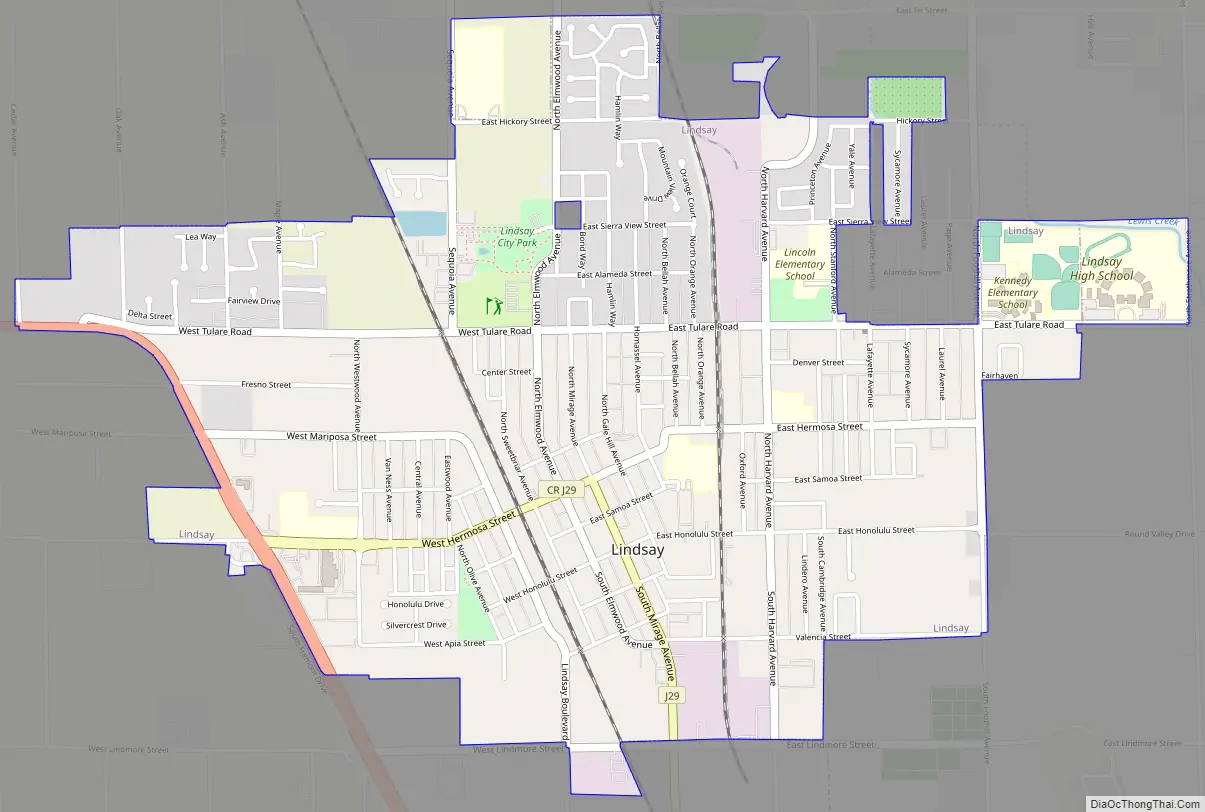
Lindsay Road Map
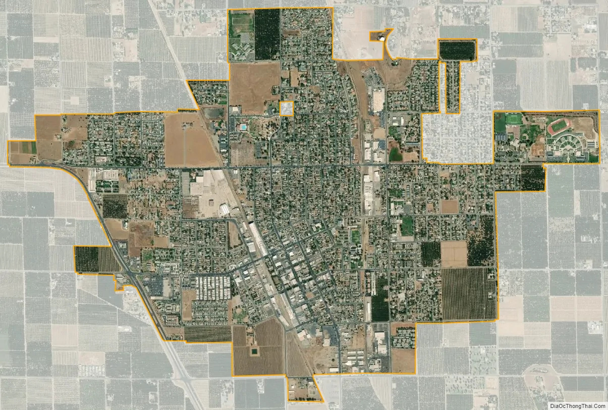
Lindsay city Satellite Map
Geography
According to the United States Census Bureau, the city has a total area of 2.6 square miles (6.8 km), all of it land.
Climate
According to the Köppen Climate Classification system, Lindsay has a semi-arid climate(BSk) with hot, dry summers and cool, wet winters.
See also
Map of California State and its subdivision:- Alameda
- Alpine
- Amador
- Butte
- Calaveras
- Colusa
- Contra Costa
- Del Norte
- El Dorado
- Fresno
- Glenn
- Humboldt
- Imperial
- Inyo
- Kern
- Kings
- Lake
- Lassen
- Los Angeles
- Madera
- Marin
- Mariposa
- Mendocino
- Merced
- Modoc
- Mono
- Monterey
- Napa
- Nevada
- Orange
- Placer
- Plumas
- Riverside
- Sacramento
- San Benito
- San Bernardino
- San Diego
- San Francisco
- San Joaquin
- San Luis Obispo
- San Mateo
- Santa Barbara
- Santa Clara
- Santa Cruz
- Shasta
- Sierra
- Siskiyou
- Solano
- Sonoma
- Stanislaus
- Sutter
- Tehama
- Trinity
- Tulare
- Tuolumne
- Ventura
- Yolo
- Yuba
- Alabama
- Alaska
- Arizona
- Arkansas
- California
- Colorado
- Connecticut
- Delaware
- District of Columbia
- Florida
- Georgia
- Hawaii
- Idaho
- Illinois
- Indiana
- Iowa
- Kansas
- Kentucky
- Louisiana
- Maine
- Maryland
- Massachusetts
- Michigan
- Minnesota
- Mississippi
- Missouri
- Montana
- Nebraska
- Nevada
- New Hampshire
- New Jersey
- New Mexico
- New York
- North Carolina
- North Dakota
- Ohio
- Oklahoma
- Oregon
- Pennsylvania
- Rhode Island
- South Carolina
- South Dakota
- Tennessee
- Texas
- Utah
- Vermont
- Virginia
- Washington
- West Virginia
- Wisconsin
- Wyoming


