Madison is a census-designated place in Yolo County, California. Madison’s ZIP Code is 95653 and its area code 530. It is located 10.5 miles (17 km) west of Woodland, at an elevation of 151 feet (46 m). The 2020 United States census reported Madison’s population was 721.
| Name: | Madison CDP |
|---|---|
| LSAD Code: | 57 |
| LSAD Description: | CDP (suffix) |
| State: | California |
| County: | Yolo County |
| Elevation: | 151 ft (46 m) |
| Total Area: | 1.547 sq mi (4.007 km²) |
| Land Area: | 1.547 sq mi (4.007 km²) |
| Water Area: | 0 sq mi (0 km²) 0% |
| Total Population: | 721 |
| Population Density: | 470/sq mi (180/km²) |
| FIPS code: | 0645064 |
Online Interactive Map
Click on ![]() to view map in "full screen" mode.
to view map in "full screen" mode.
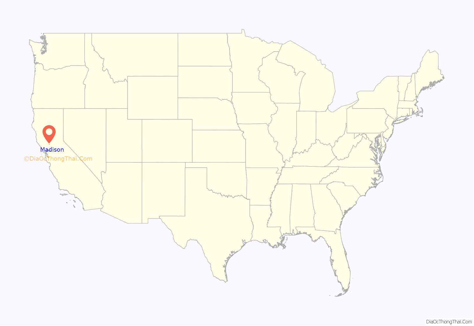
Madison location map. Where is Madison CDP?
History
The Cache Creek post office opened in 1852, moved, and changed its name to Madison in 1877. The name was bestowed by Daniel Bradley Hulbert after his hometown, Madison, Wisconsin. The townsite was laid out and named “Madison” in 1877 when the railroad, the Vaca Valley and Clear Lake Railroad, reached that spot, as the terminus, after expanding north from Winters. The Cache Creek Post Office had been located in the settlement of Cottonwood, approximately one mile south of Madison. Many of Cottonwood’s structures were then moved to Madison, as Cottonwood did not have a railroad stop. Madison was first featured on the map in 1951.
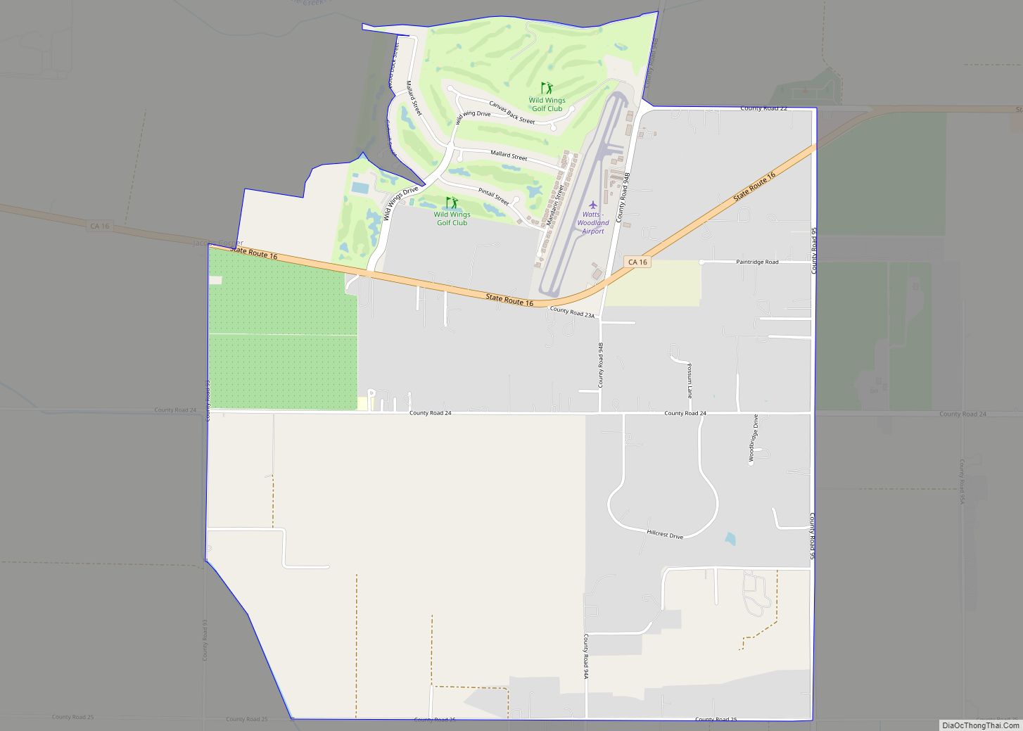
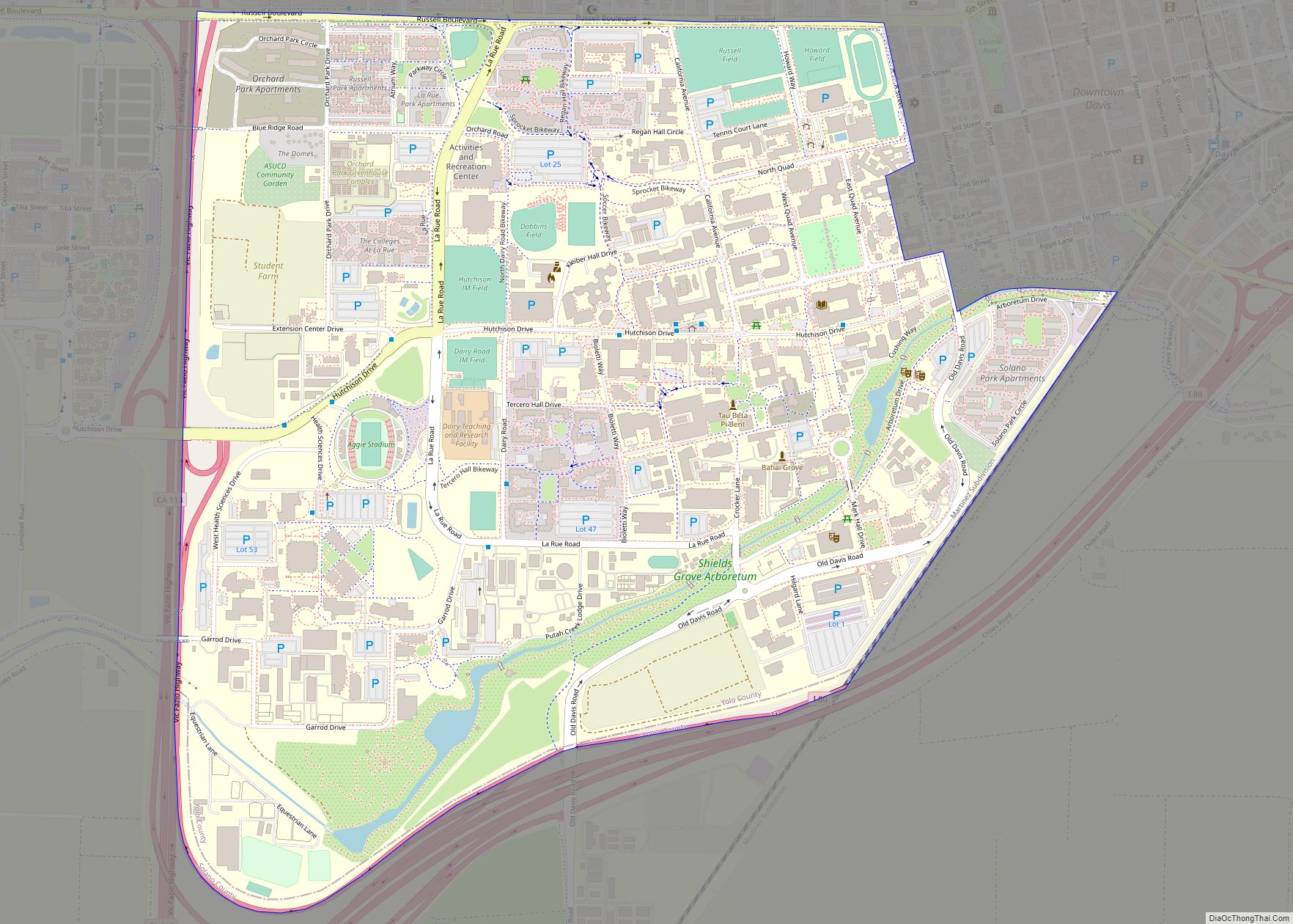
Madison Road Map
Madison city Satellite Map
Geography
According to the United States Census Bureau, the town covers an area of 1.547 square miles (4.007 km), all of it land.
See also
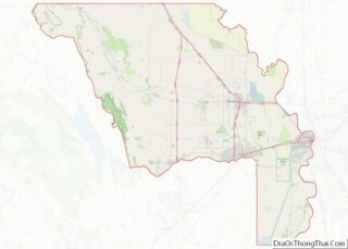
Map of California State and its subdivision:- Alameda
- Alpine
- Amador
- Butte
- Calaveras
- Colusa
- Contra Costa
- Del Norte
- El Dorado
- Fresno
- Glenn
- Humboldt
- Imperial
- Inyo
- Kern
- Kings
- Lake
- Lassen
- Los Angeles
- Madera
- Marin
- Mariposa
- Mendocino
- Merced
- Modoc
- Mono
- Monterey
- Napa
- Nevada
- Orange
- Placer
- Plumas
- Riverside
- Sacramento
- San Benito
- San Bernardino
- San Diego
- San Francisco
- San Joaquin
- San Luis Obispo
- San Mateo
- Santa Barbara
- Santa Clara
- Santa Cruz
- Shasta
- Sierra
- Siskiyou
- Solano
- Sonoma
- Stanislaus
- Sutter
- Tehama
- Trinity
- Tulare
- Tuolumne
- Ventura
- Yolo
- Yuba
- Alabama
- Alaska
- Arizona
- Arkansas
- California
- Colorado
- Connecticut
- Delaware
- District of Columbia
- Florida
- Georgia
- Hawaii
- Idaho
- Illinois
- Indiana
- Iowa
- Kansas
- Kentucky
- Louisiana
- Maine
- Maryland
- Massachusetts
- Michigan
- Minnesota
- Mississippi
- Missouri
- Montana
- Nebraska
- Nevada
- New Hampshire
- New Jersey
- New Mexico
- New York
- North Carolina
- North Dakota
- Ohio
- Oklahoma
- Oregon
- Pennsylvania
- Rhode Island
- South Carolina
- South Dakota
- Tennessee
- Texas
- Utah
- Vermont
- Virginia
- Washington
- West Virginia
- Wisconsin
- Wyoming
