Winters is a city in rural Yolo County, and the western Sacramento Valley, in northern California.
The population of Winters was 6,624 as of the 2010 Census. It is part of the Sacramento–Arden-Arcade–Yuba City, CA-NV Combined Statistical Area.
| Name: | Winters city |
|---|---|
| LSAD Code: | 25 |
| LSAD Description: | city (suffix) |
| State: | California |
| County: | Yolo County |
| Incorporated: | February 9, 1898 |
| Elevation: | 135 ft (41 m) |
| Total Area: | 2.96 sq mi (7.67 km²) |
| Land Area: | 2.94 sq mi (7.60 km²) |
| Water Area: | 0.03 sq mi (0.06 km²) 0.85% |
| Total Population: | 6,624 |
| Population Density: | 2,492.33/sq mi (962.35/km²) |
| ZIP code: | 95694 |
| Area code: | 530 |
| FIPS code: | 0686034 |
| Website: | www.cityofwinters.org |
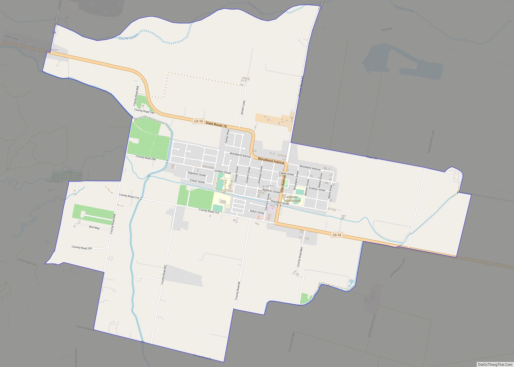
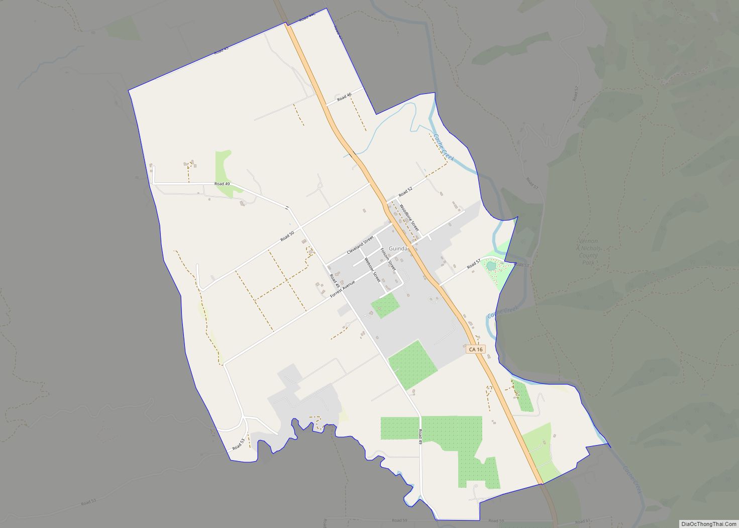
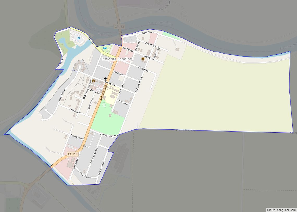
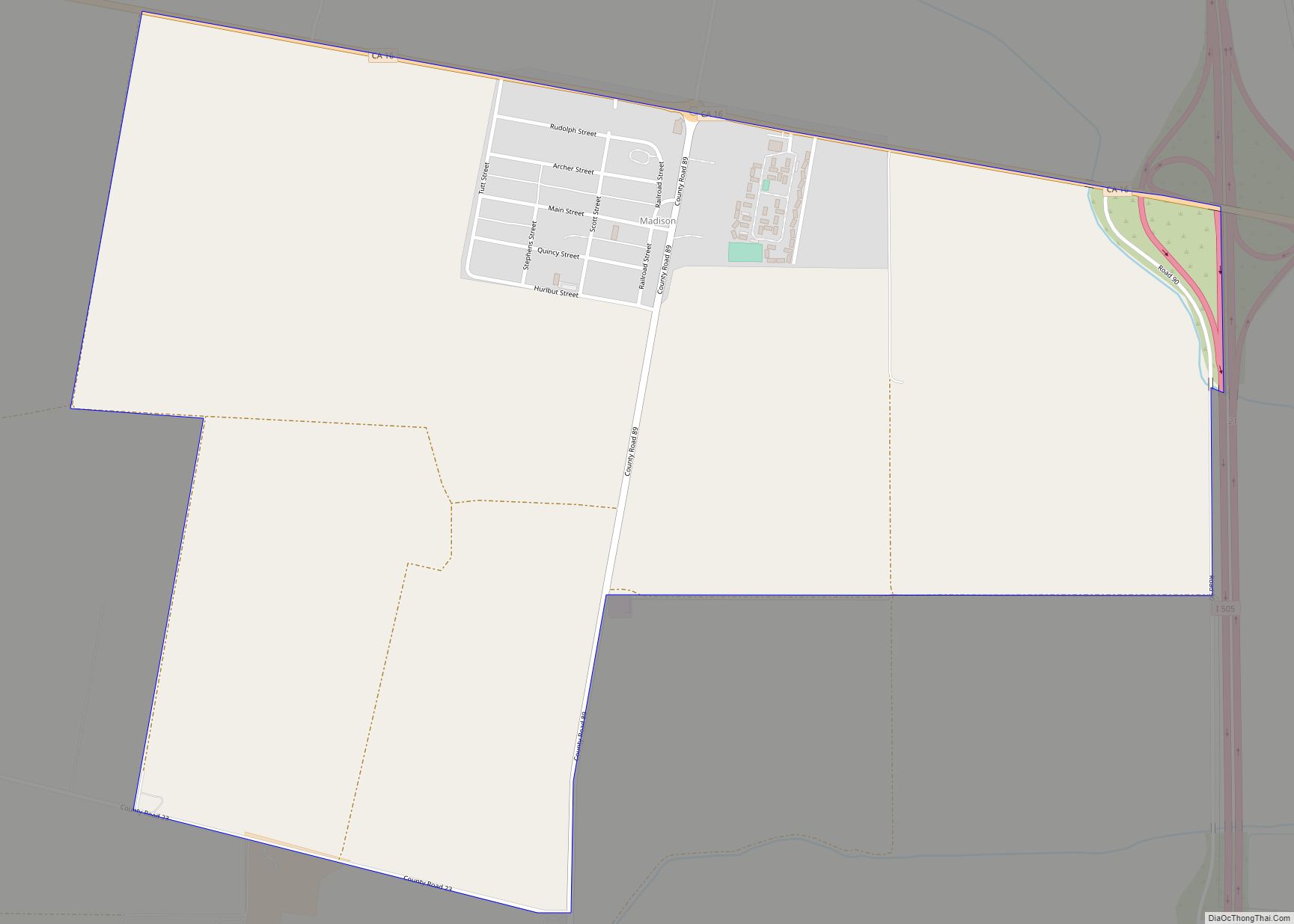
Online Interactive Map
Click on ![]() to view map in "full screen" mode.
to view map in "full screen" mode.
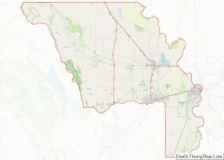
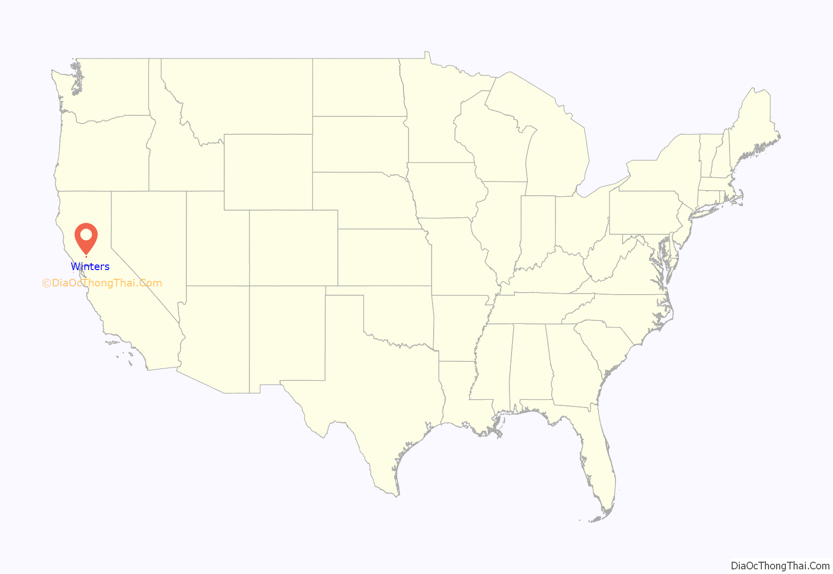
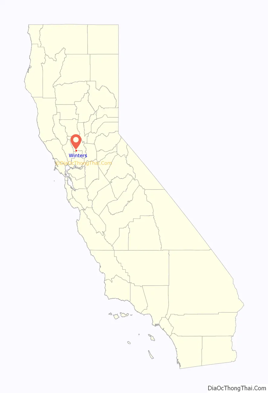
Winters location map. Where is Winters city?
History
William Wolfskill, a Kentucky immigrant to Mexican Alta California, received a Mexican land grant for Rancho Rio de los Putos in 1842 from Governor Juan Bautista Alvarado. His brother, John Reid Wolfskill, started the agricultural development of the Sacramento Valley by planting orchards and vineyards on his lands. In 1849, William Wolfskill transferred half of Rancho Rio de los Putos to John Wolfskill, and transferred the rest to his brother in 1854.
The Winters post office was established in 1875. Winters incorporated in 1898. The name honors Theodore Winters, whose ranch provided half of the town’s land.
In 1935, Wolfskill’s heirs deeded 100 acres of the Wolfskill Ranch in Winters to the University of California, Davis, which had been founded in 1908. The land was to be used for an experimental orchard.
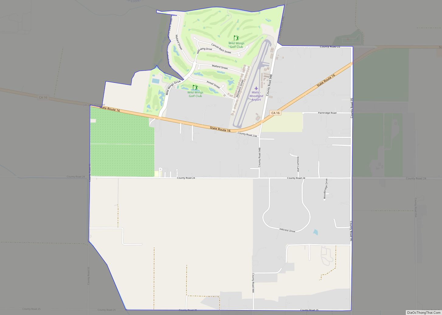
Winters Road Map

Winters city Satellite Map

Geography
Winters is a small city located on Putah Creek in the western Sacramento Valley, near the northeastern Vaca Mountains foothills.
It is situated along Interstate 505, 11 miles (18 km) from Vacaville. Winters is nearly 30 miles (50 km) from Sacramento and about 60 miles (100 km) from San Francisco, California. It is located at 38°31′30″N 121°58′15″W / 38.52500°N 121.97083°W / 38.52500; -121.97083.
According to the United States Census Bureau, the city has a total area of 2.9 square miles (7.5 km), of which 2.9 square miles (7.5 km) is land and 0.03 square miles (0.078 km) of it (0.85%) is water.
See also
Map of California State and its subdivision:- Alameda
- Alpine
- Amador
- Butte
- Calaveras
- Colusa
- Contra Costa
- Del Norte
- El Dorado
- Fresno
- Glenn
- Humboldt
- Imperial
- Inyo
- Kern
- Kings
- Lake
- Lassen
- Los Angeles
- Madera
- Marin
- Mariposa
- Mendocino
- Merced
- Modoc
- Mono
- Monterey
- Napa
- Nevada
- Orange
- Placer
- Plumas
- Riverside
- Sacramento
- San Benito
- San Bernardino
- San Diego
- San Francisco
- San Joaquin
- San Luis Obispo
- San Mateo
- Santa Barbara
- Santa Clara
- Santa Cruz
- Shasta
- Sierra
- Siskiyou
- Solano
- Sonoma
- Stanislaus
- Sutter
- Tehama
- Trinity
- Tulare
- Tuolumne
- Ventura
- Yolo
- Yuba
- Alabama
- Alaska
- Arizona
- Arkansas
- California
- Colorado
- Connecticut
- Delaware
- District of Columbia
- Florida
- Georgia
- Hawaii
- Idaho
- Illinois
- Indiana
- Iowa
- Kansas
- Kentucky
- Louisiana
- Maine
- Maryland
- Massachusetts
- Michigan
- Minnesota
- Mississippi
- Missouri
- Montana
- Nebraska
- Nevada
- New Hampshire
- New Jersey
- New Mexico
- New York
- North Carolina
- North Dakota
- Ohio
- Oklahoma
- Oregon
- Pennsylvania
- Rhode Island
- South Carolina
- South Dakota
- Tennessee
- Texas
- Utah
- Vermont
- Virginia
- Washington
- West Virginia
- Wisconsin
- Wyoming