Magalia (formerly Butte Mills and Dogtown) is an unincorporated community and census-designated place (CDP) in Butte County, California, United States. The population was 11,310 at the 2010 census.
| Name: | Magalia CDP |
|---|---|
| LSAD Code: | 57 |
| LSAD Description: | CDP (suffix) |
| State: | California |
| County: | Butte County |
| Elevation: | 2,333 ft (711 m) |
| Total Area: | 14.019 sq mi (36.309 km²) |
| Land Area: | 14.015 sq mi (36.298 km²) |
| Water Area: | 0.004 sq mi (0.011 km²) 0.03% |
| Total Population: | 11,310 |
| Population Density: | 810/sq mi (310/km²) |
| ZIP code: | 95954 |
| Area code: | 530 |
| FIPS code: | 0645120 |
| GNISfeature ID: | 1659035; 2408161 |
Online Interactive Map
Click on ![]() to view map in "full screen" mode.
to view map in "full screen" mode.
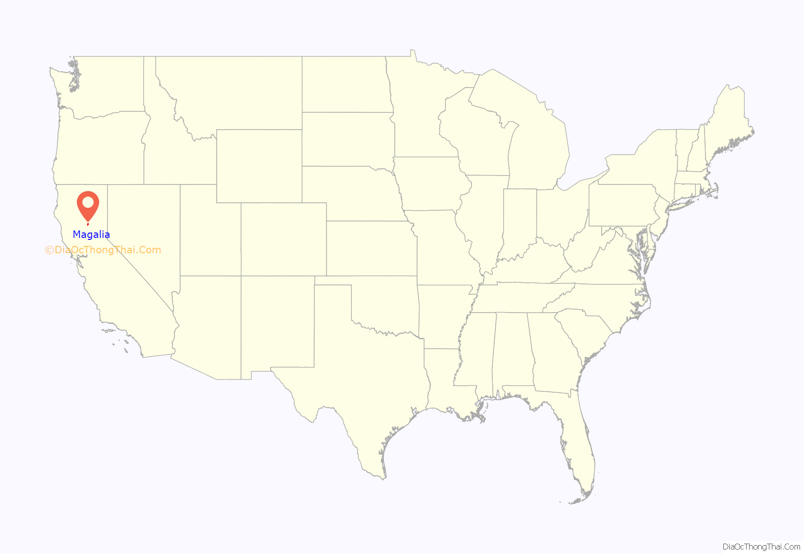
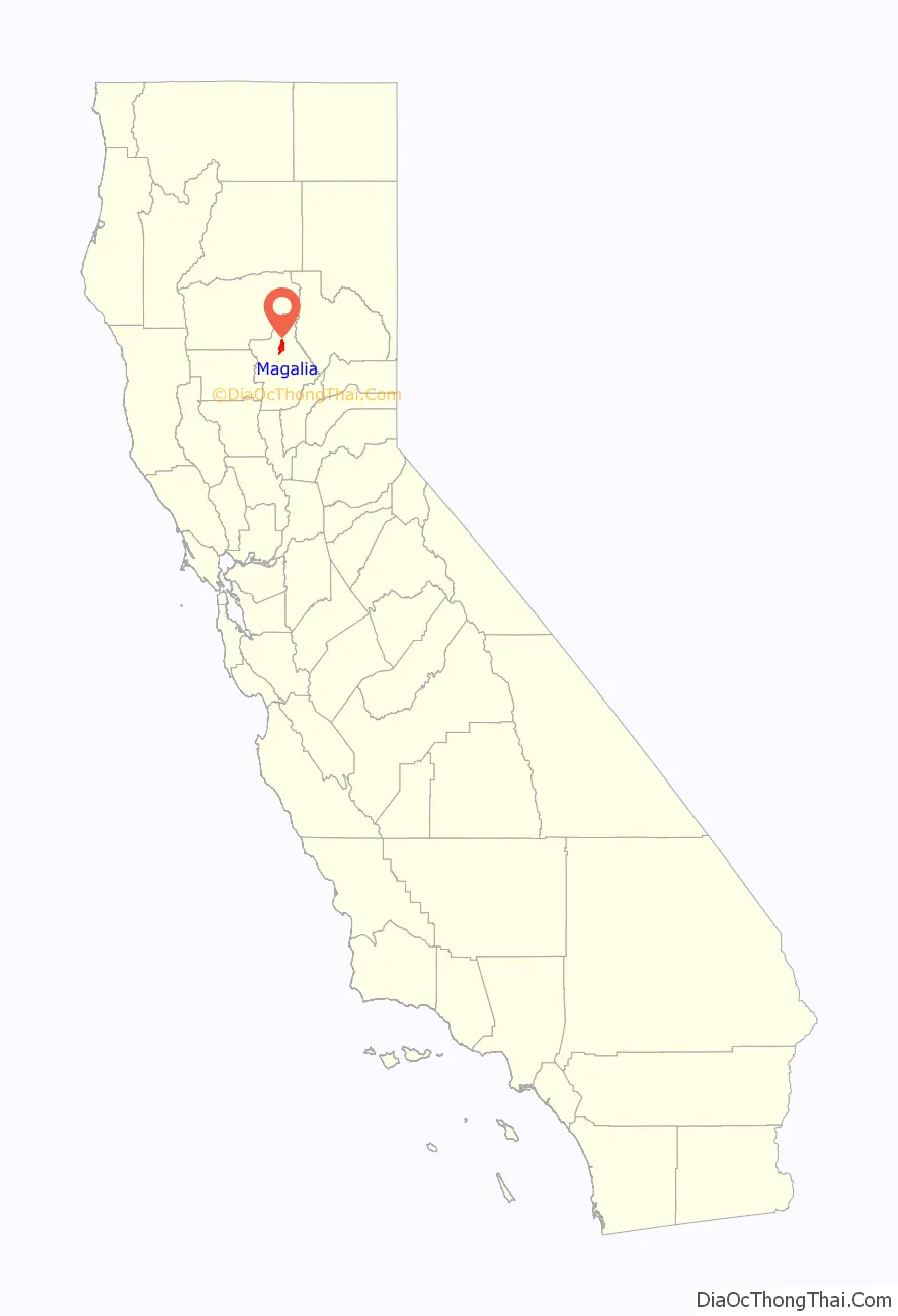
Magalia location map. Where is Magalia CDP?
History
Originally established after the 1849 California Gold Rush as a mining camp, the town was first called Mountain View. A dog breeding operation started in 1850 which led to the name Dogtown. A post office opened in 1857, which was shared with the adjacent settlement of Mill City; the two eventually united. In 1861 the name was changed to Magalia after the Latin word for cottages.
On April 12, 1859, at the Willard Claim, a hydraulic mine in the Feather River Canyon northeast of the town, a 54-pound (20 kg) gold nugget was discovered, the largest in the world at the time. Dubbed the “Dogtown nugget”, it made the town famous.
2018 fire
The community suffered extensive damage in the Camp Fire, a wildfire which began on November 8, 2018. As of December 13, Butte County Sheriff’s Department reported that at least seven people died in Magalia during the Camp fire. Some survivors sheltered in place at a Baptist church along the only evacuation route north of the ridge.
Magalia Road Map

Magalia city Satellite Map
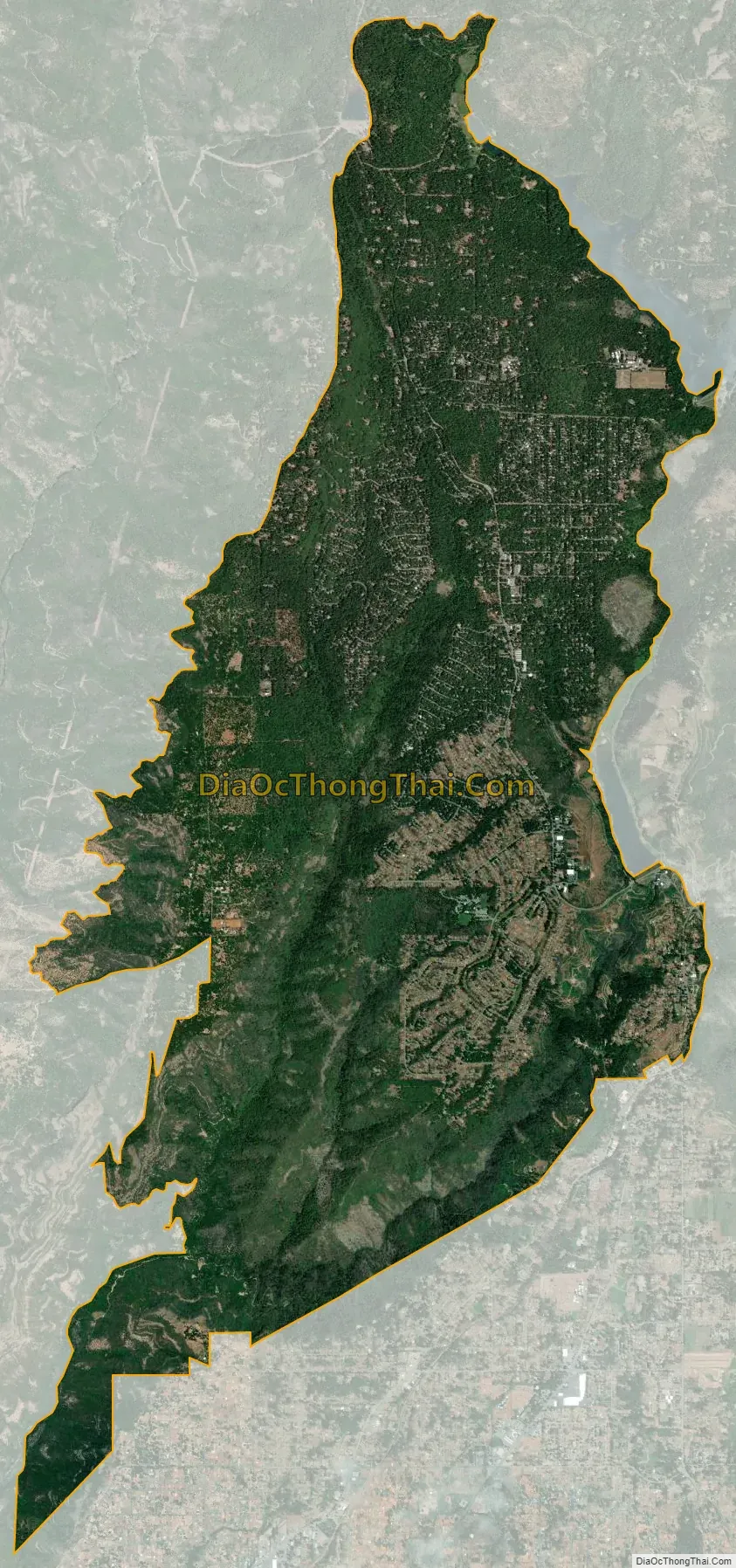
Geography
According to the United States Census Bureau, the CDP has a total area of 14.1 square miles (37 km), all of it land. There are numerous flora and fauna species found in the vicinity including mammals such as Black tailed deer, raccoon, and grey squirrel. A considerable number of amphibians are also found such as the Rough-skinned Newt, whose southern range in the California interior occurs near Magalia. The soil, deep reddish-brown loam for the most part, supports forest dominated by tall incense cedar and bull pine.
Climate
According to the Köppen Climate Classification system, Magalia has a hot-summer Mediterranean climate, abbreviated “Csa” on climate maps.
See also
Map of California State and its subdivision:- Alameda
- Alpine
- Amador
- Butte
- Calaveras
- Colusa
- Contra Costa
- Del Norte
- El Dorado
- Fresno
- Glenn
- Humboldt
- Imperial
- Inyo
- Kern
- Kings
- Lake
- Lassen
- Los Angeles
- Madera
- Marin
- Mariposa
- Mendocino
- Merced
- Modoc
- Mono
- Monterey
- Napa
- Nevada
- Orange
- Placer
- Plumas
- Riverside
- Sacramento
- San Benito
- San Bernardino
- San Diego
- San Francisco
- San Joaquin
- San Luis Obispo
- San Mateo
- Santa Barbara
- Santa Clara
- Santa Cruz
- Shasta
- Sierra
- Siskiyou
- Solano
- Sonoma
- Stanislaus
- Sutter
- Tehama
- Trinity
- Tulare
- Tuolumne
- Ventura
- Yolo
- Yuba
- Alabama
- Alaska
- Arizona
- Arkansas
- California
- Colorado
- Connecticut
- Delaware
- District of Columbia
- Florida
- Georgia
- Hawaii
- Idaho
- Illinois
- Indiana
- Iowa
- Kansas
- Kentucky
- Louisiana
- Maine
- Maryland
- Massachusetts
- Michigan
- Minnesota
- Mississippi
- Missouri
- Montana
- Nebraska
- Nevada
- New Hampshire
- New Jersey
- New Mexico
- New York
- North Carolina
- North Dakota
- Ohio
- Oklahoma
- Oregon
- Pennsylvania
- Rhode Island
- South Carolina
- South Dakota
- Tennessee
- Texas
- Utah
- Vermont
- Virginia
- Washington
- West Virginia
- Wisconsin
- Wyoming


