Mentone is a census-designated place in San Bernardino County, California, United States. The population was 7,803 at the 2000 census and 8,720 at the 2010 census. It is located at 34°3′53″N 117°7′13″W / 34.06472°N 117.12028°W / 34.06472; -117.12028.
According to the United States Census Bureau, it has a total area of 6.2 square miles (16 km); 6.2 square miles (16 km) of it is land and 0.19% is water. There is a good selection of housing developments (which has been slowly increasing over the past years), as well as bars, churches, and restaurants. California State Route 38 serves as its main street, being called Mentone Boulevard upon entering the Mentone district from Redlands on the west side, then changes to Mill Creek Road on the east side of the district. The road through Mentone serves as one of three gateways to the San Bernardino Mountains (especially the small community of Angelus Oaks and the mountainous city of Big Bear Lake).
| Name: | Mentone CDP |
|---|---|
| LSAD Code: | 57 |
| LSAD Description: | CDP (suffix) |
| State: | California |
| County: | San Bernardino County |
| Elevation: | 1,650 ft (503 m) |
| Total Area: | 6.234 sq mi (16.146 km²) |
| Land Area: | 6.222 sq mi (16.115 km²) |
| Water Area: | 0.012 sq mi (0.031 km²) 0.19% |
| Total Population: | 8,720 |
| Population Density: | 1,400/sq mi (540/km²) |
| ZIP code: | 92359 |
| Area code: | 909 |
| FIPS code: | 0646884 |
| Website: | www.mentonechamber.com |
Online Interactive Map
Click on ![]() to view map in "full screen" mode.
to view map in "full screen" mode.
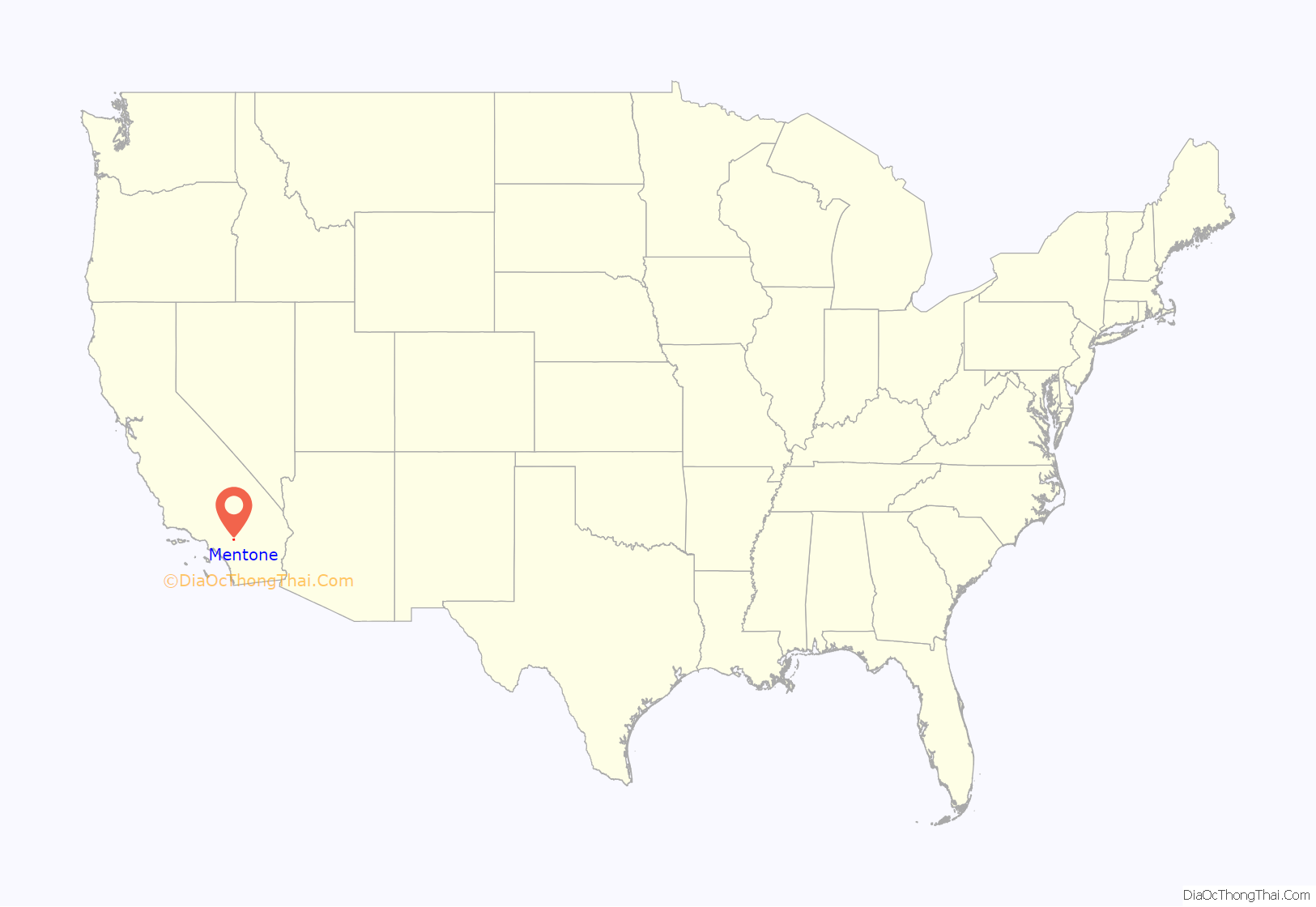
Mentone location map. Where is Mentone CDP?
History
Mentone is a former railroad town and health spa. It was named for Menton, France. A map for the Mentone townsite was filed on February 24, 1888.
Mentone Road Map
Mentone city Satellite Map
See also
Map of California State and its subdivision:- Alameda
- Alpine
- Amador
- Butte
- Calaveras
- Colusa
- Contra Costa
- Del Norte
- El Dorado
- Fresno
- Glenn
- Humboldt
- Imperial
- Inyo
- Kern
- Kings
- Lake
- Lassen
- Los Angeles
- Madera
- Marin
- Mariposa
- Mendocino
- Merced
- Modoc
- Mono
- Monterey
- Napa
- Nevada
- Orange
- Placer
- Plumas
- Riverside
- Sacramento
- San Benito
- San Bernardino
- San Diego
- San Francisco
- San Joaquin
- San Luis Obispo
- San Mateo
- Santa Barbara
- Santa Clara
- Santa Cruz
- Shasta
- Sierra
- Siskiyou
- Solano
- Sonoma
- Stanislaus
- Sutter
- Tehama
- Trinity
- Tulare
- Tuolumne
- Ventura
- Yolo
- Yuba
- Alabama
- Alaska
- Arizona
- Arkansas
- California
- Colorado
- Connecticut
- Delaware
- District of Columbia
- Florida
- Georgia
- Hawaii
- Idaho
- Illinois
- Indiana
- Iowa
- Kansas
- Kentucky
- Louisiana
- Maine
- Maryland
- Massachusetts
- Michigan
- Minnesota
- Mississippi
- Missouri
- Montana
- Nebraska
- Nevada
- New Hampshire
- New Jersey
- New Mexico
- New York
- North Carolina
- North Dakota
- Ohio
- Oklahoma
- Oregon
- Pennsylvania
- Rhode Island
- South Carolina
- South Dakota
- Tennessee
- Texas
- Utah
- Vermont
- Virginia
- Washington
- West Virginia
- Wisconsin
- Wyoming
