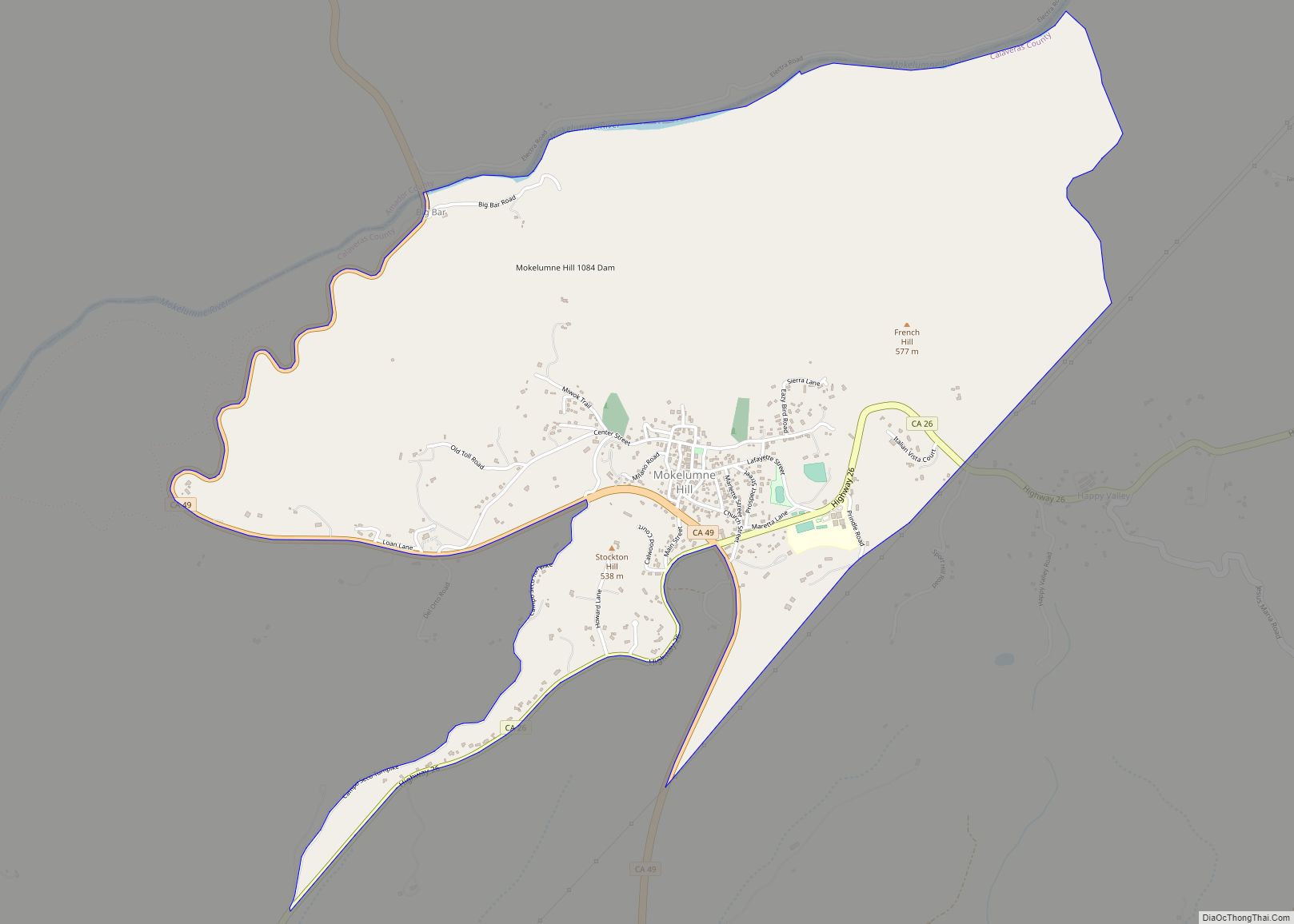
Mokelumne Hill (Mokelumne, Miwok for “People of the Fish Net”) is a census-designated place (CDP) in Calaveras County, California, United States. The population was 646 at the 2010 census, down from 774 at the 2000 census. It is commonly referred to as “Moke Hill” by locals. The town takes its name from the neighboring Mokelumne River, which in turn is Miwok for the “people of Mokel,” the likely name of a Native American village in the area.
| Name: | Mokelumne Hill CDP |
|---|---|
| LSAD Code: | 57 |
| LSAD Description: | CDP (suffix) |
| State: | California |
| County: | Calaveras County |
| Elevation: | 1,473 ft (449 m) |
| Total Area: | 3.082 sq mi (7.981 km²) |
| Land Area: | 3.079 sq mi (7.974 km²) |
| Water Area: | 0.003 sq mi (0.007 km²) 0.09% |
| Total Population: | 646 |
| Population Density: | 210/sq mi (81/km²) |
| ZIP code: | 95245 |
| Area code: | 209 |
| FIPS code: | 0648480 |
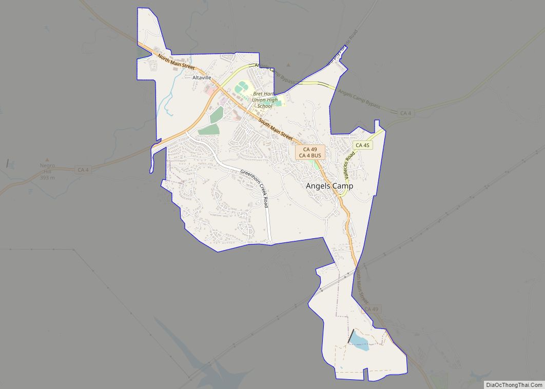
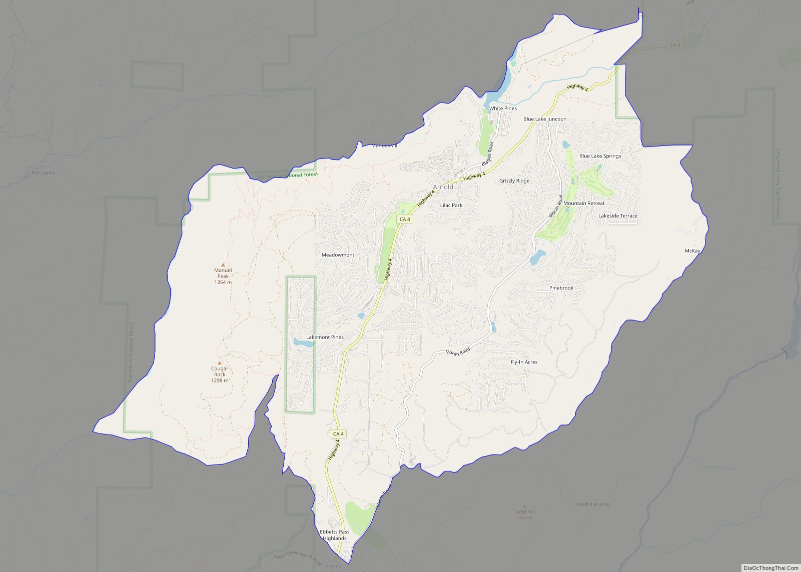
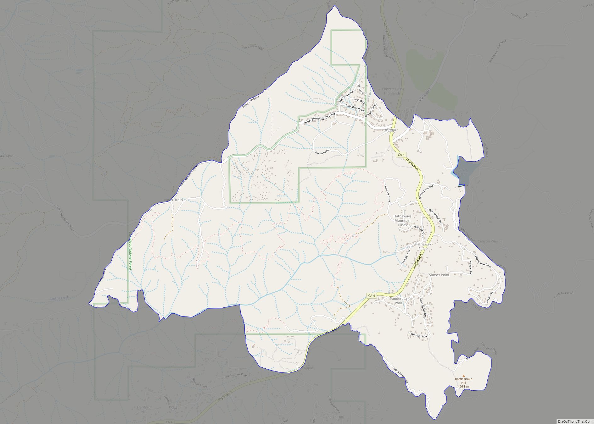
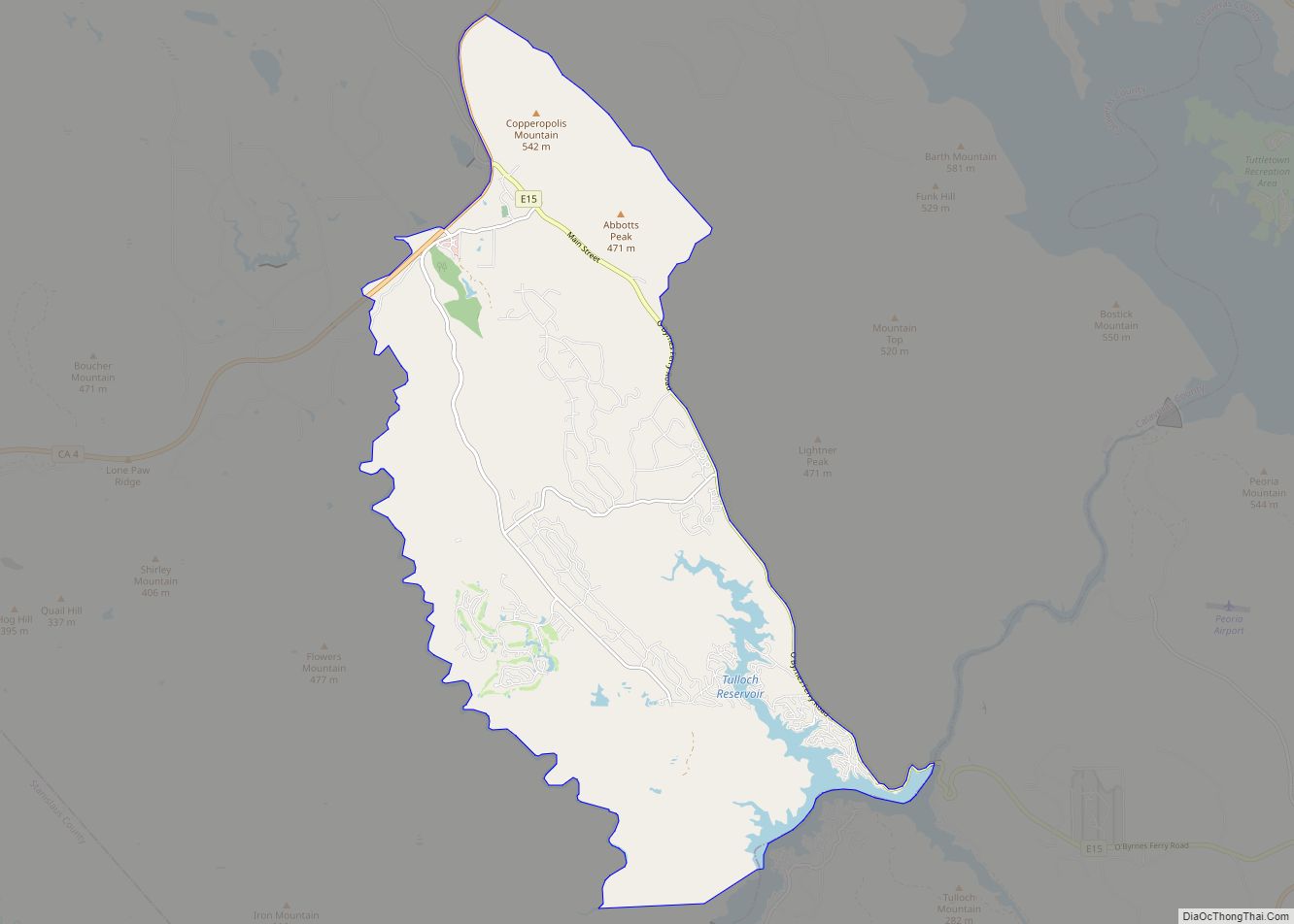
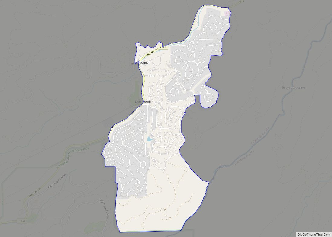
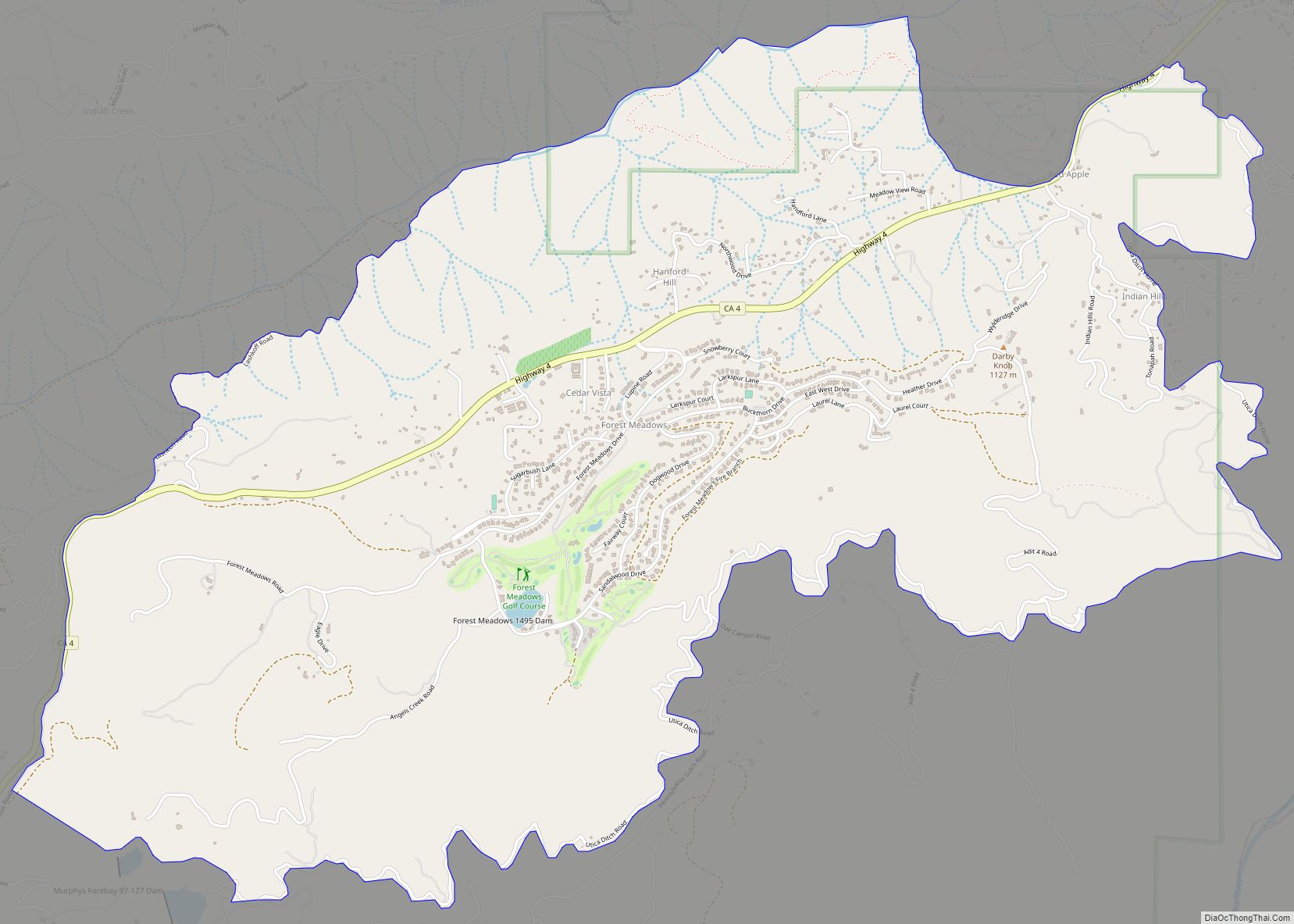
Online Interactive Map
Click on ![]() to view map in "full screen" mode.
to view map in "full screen" mode.
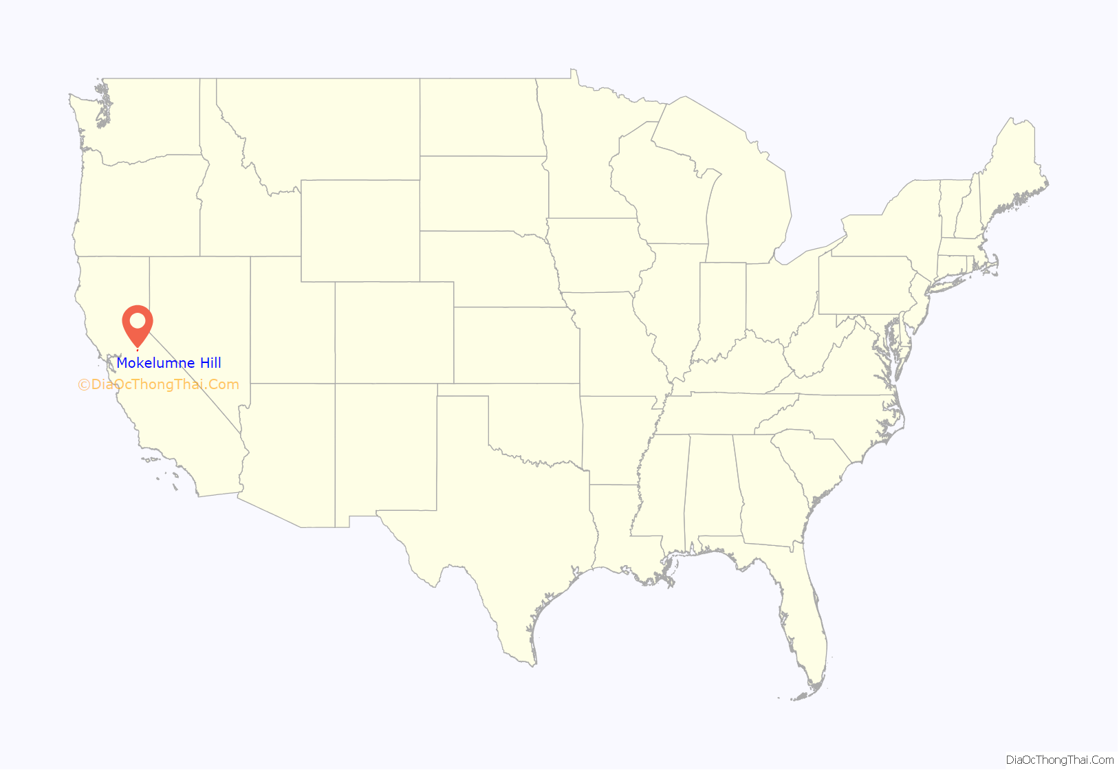
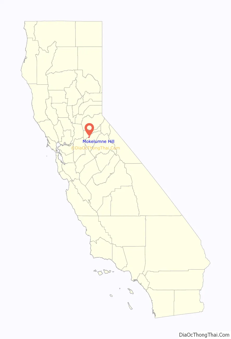
Mokelumne Hill location map. Where is Mokelumne Hill CDP?
History
Mokelumne Hill was one of the richest gold mining towns in California. Founded in 1848 by a group of Oregonians, the placers were so rich that the miners risked starvation rather than head to Stockton to replenish their supplies (one finally did and made it rich by becoming a merchant). Soon after, gold was discovered in the nearby hills, so much so that miners were restricted to claims of 16 square feet (1.5 m), and yet many of those claims were reported to have paid up to $20,000.
By 1850 the town was one of the largest in the area. Its population reached as high as 15,000 with people of all nationalities, particularly Americans, Frenchmen, Germans, Spaniards, Chileans, Mexicans, and Chinese. Besides racial tensions, the easy gold attracted criminal elements, and the town gained a reputation as one of the bawdiest in the area. Notorious bandit Joaquin Murrieta is said to have been a frequent visitor to the gambling venues. Violence was a major problem as well. In 1851, there was at least one homicide a week for seventeen consecutive weeks.
A June, 1851, incident in Mokelumne Hill has been dubbed California’s French Revolution, or French War, by some historians. The previous year the State Legislature had passed the Foreign Miners’ Tax Act of 1850. Frenchmen in the area revolted and refused to pay the tax. The Sheriff, also the Tax Collector, summoned a large posse to enforce the act, but the Frenchmen raised the French flag and proclaimed their independence. This prompted the Governor to direct a battalion of militia, commanded by William D. Bradshaw, to suppress the revolt. Disaster was averted when Bradshaw negotiated with the Frenchmen to stand down.
Also in 1851, the first post office was established in the town, and in 1852 the town became the county seat. In the same year a vigilance committee was formed and the worst of the crime was eliminated.
By the 1860s the gold started to run out and the town’s population and importance diminished. When San Andreas became the new county seat in 1866, Mokelumne Hill’s status declined even further. The town today is a quiet place, with much tourism due to its historic status. From 1959–1977 Mokelumne Hill was home to Lucile S. Davidson, known as “the shoe lady of Mokelumne Hill”. She was in The Stockton ‘Record’ and later in the Guinness Book of World Records for having the largest privately owned glass shoe collection in the world.
Mokelumne Hill is registered as California Historical Landmark #269.
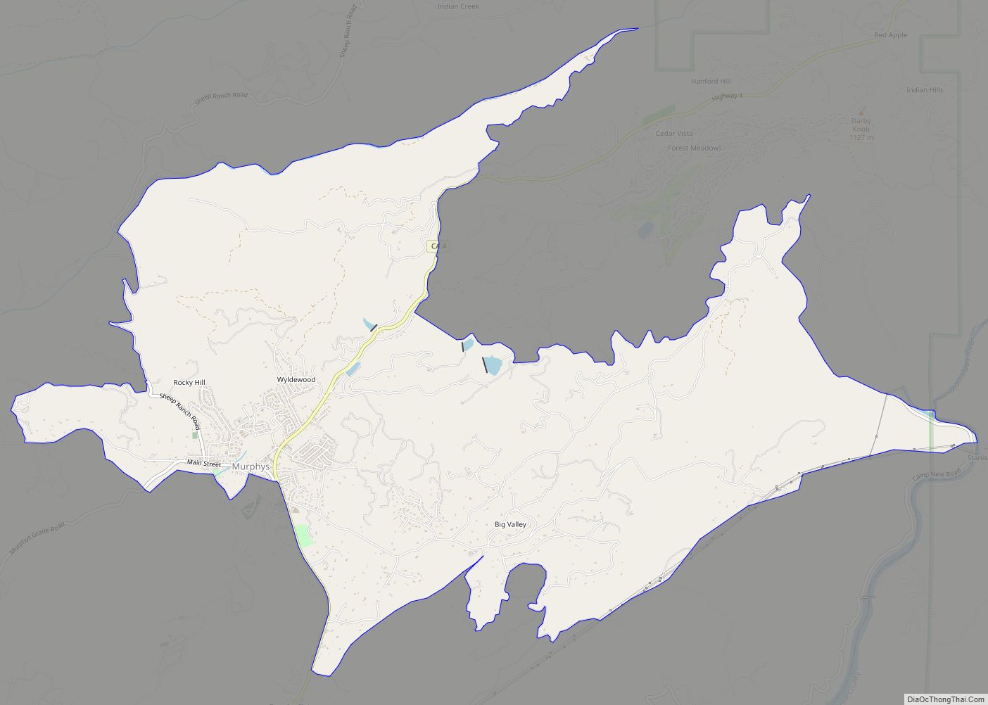
Mokelumne Hill Road Map
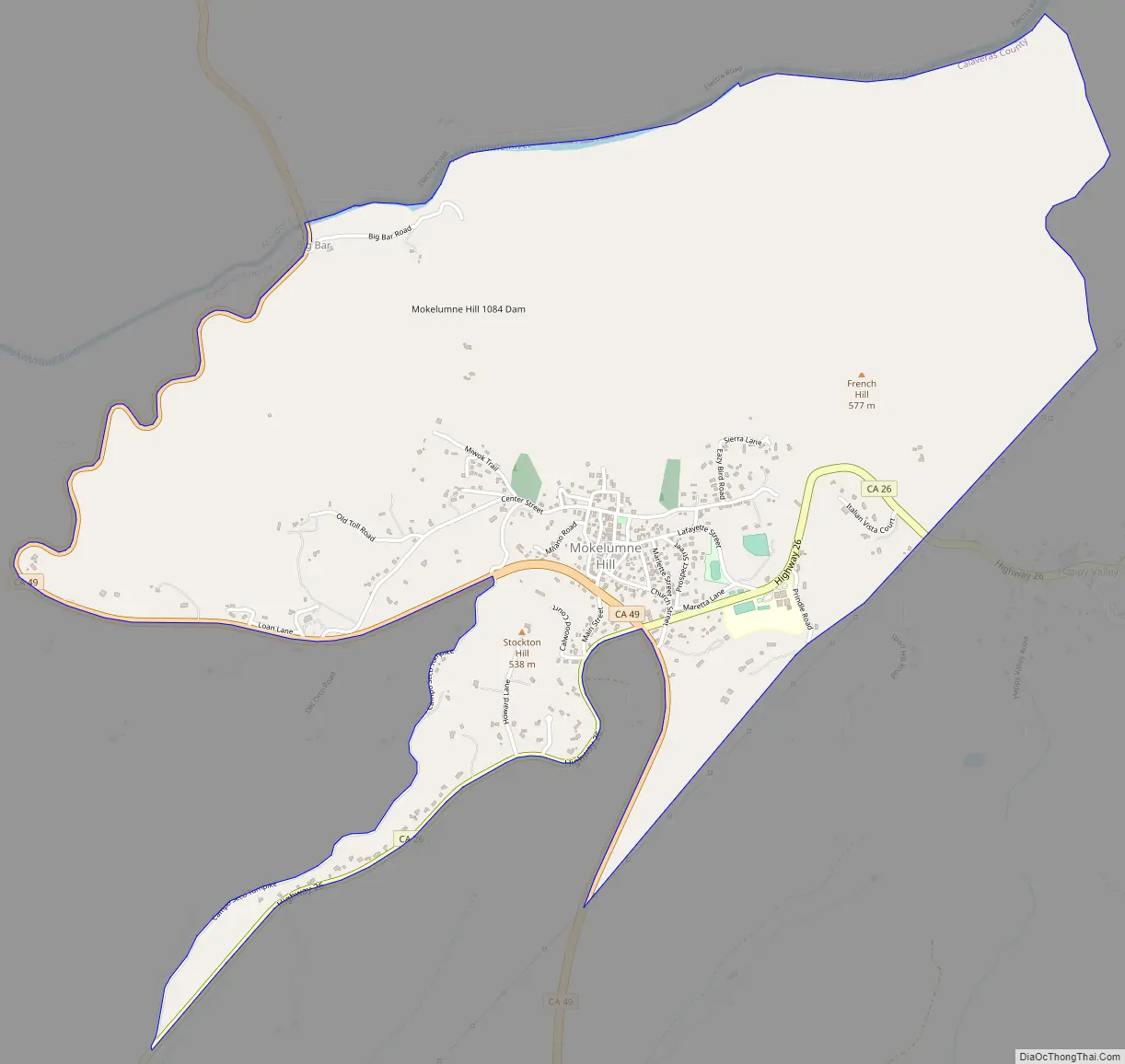
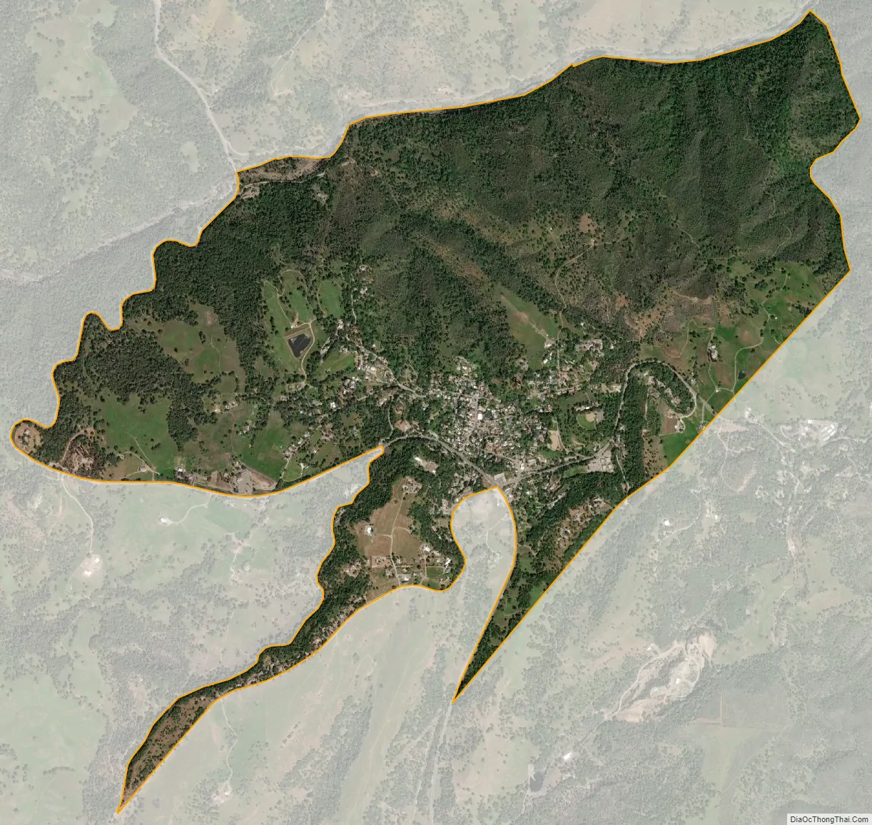
Mokelumne Hill city Satellite Map
Geography
According to the United States Census Bureau, the CDP has a total area of 3.1 square miles (8.0 km), over 99% of it land.
Climate
According to the Köppen Climate Classification system, Mokelumne Hill has a hot-summer Mediterranean climate, abbreviated “Csa” on climate maps.
See also
Map of California State and its subdivision:- Alameda
- Alpine
- Amador
- Butte
- Calaveras
- Colusa
- Contra Costa
- Del Norte
- El Dorado
- Fresno
- Glenn
- Humboldt
- Imperial
- Inyo
- Kern
- Kings
- Lake
- Lassen
- Los Angeles
- Madera
- Marin
- Mariposa
- Mendocino
- Merced
- Modoc
- Mono
- Monterey
- Napa
- Nevada
- Orange
- Placer
- Plumas
- Riverside
- Sacramento
- San Benito
- San Bernardino
- San Diego
- San Francisco
- San Joaquin
- San Luis Obispo
- San Mateo
- Santa Barbara
- Santa Clara
- Santa Cruz
- Shasta
- Sierra
- Siskiyou
- Solano
- Sonoma
- Stanislaus
- Sutter
- Tehama
- Trinity
- Tulare
- Tuolumne
- Ventura
- Yolo
- Yuba
- Alabama
- Alaska
- Arizona
- Arkansas
- California
- Colorado
- Connecticut
- Delaware
- District of Columbia
- Florida
- Georgia
- Hawaii
- Idaho
- Illinois
- Indiana
- Iowa
- Kansas
- Kentucky
- Louisiana
- Maine
- Maryland
- Massachusetts
- Michigan
- Minnesota
- Mississippi
- Missouri
- Montana
- Nebraska
- Nevada
- New Hampshire
- New Jersey
- New Mexico
- New York
- North Carolina
- North Dakota
- Ohio
- Oklahoma
- Oregon
- Pennsylvania
- Rhode Island
- South Carolina
- South Dakota
- Tennessee
- Texas
- Utah
- Vermont
- Virginia
- Washington
- West Virginia
- Wisconsin
- Wyoming