Montague is a city in Siskiyou County, California, United States. Its population is 1,226 as of the 2020 census, down from 1,443 from the 2010 census.
| Name: | Montague city |
|---|---|
| LSAD Code: | 25 |
| LSAD Description: | city (suffix) |
| State: | California |
| County: | Siskiyou County |
| Incorporated: | January 28, 1909 |
| Elevation: | 2,539 ft (774 m) |
| Total Area: | 1.79 sq mi (4.64 km²) |
| Land Area: | 1.78 sq mi (4.60 km²) |
| Water Area: | 0.01 sq mi (0.04 km²) 0.85% |
| Total Population: | 1,226 |
| Population Density: | 786.28/sq mi (303.62/km²) |
| ZIP code: | 96064 |
| Area code: | 530 |
| FIPS code: | 0648690 |
| Website: | cityofmontagueca.com |
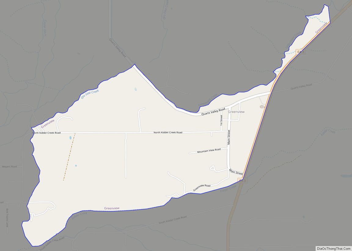
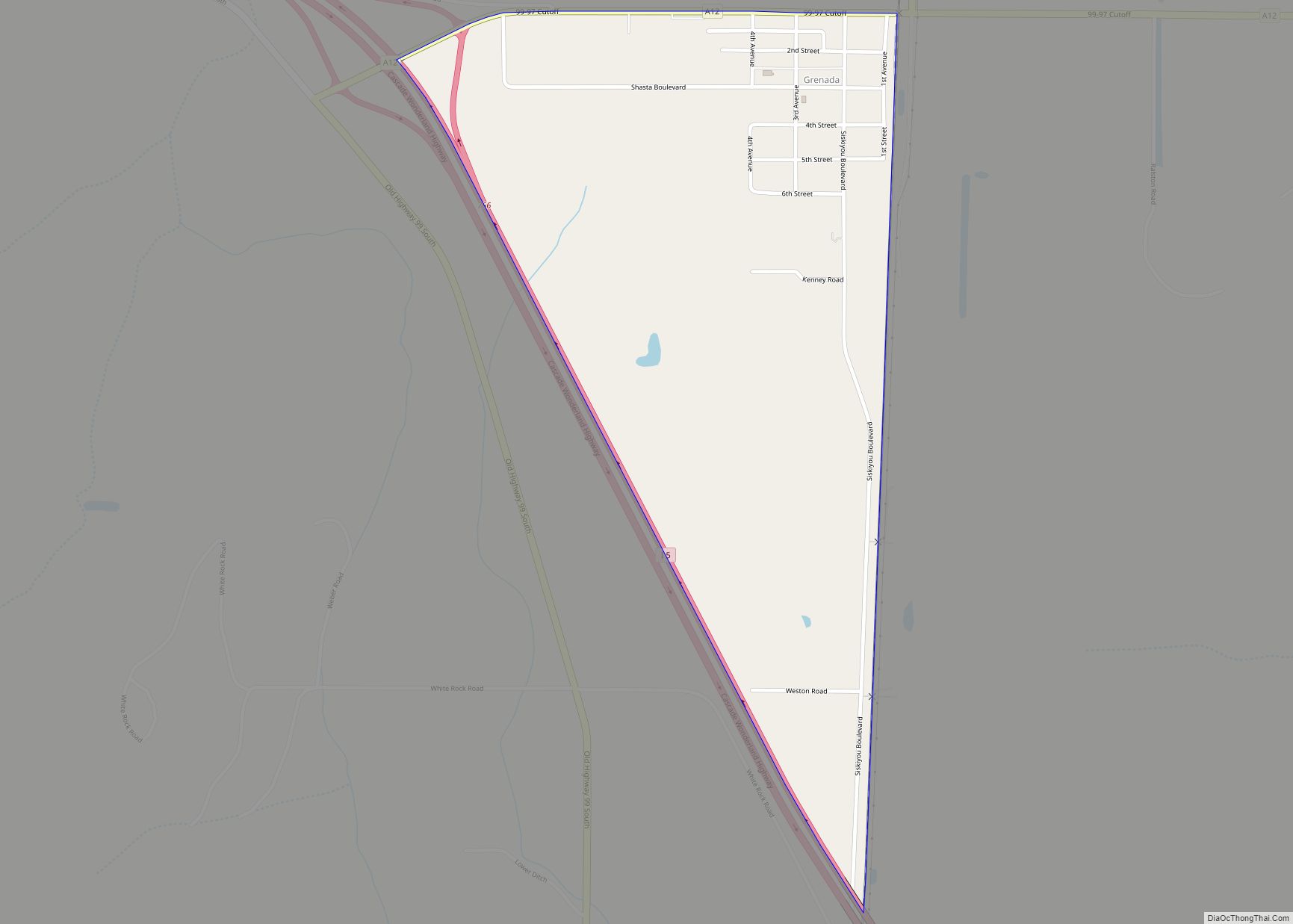
Online Interactive Map
Click on ![]() to view map in "full screen" mode.
to view map in "full screen" mode.
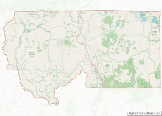
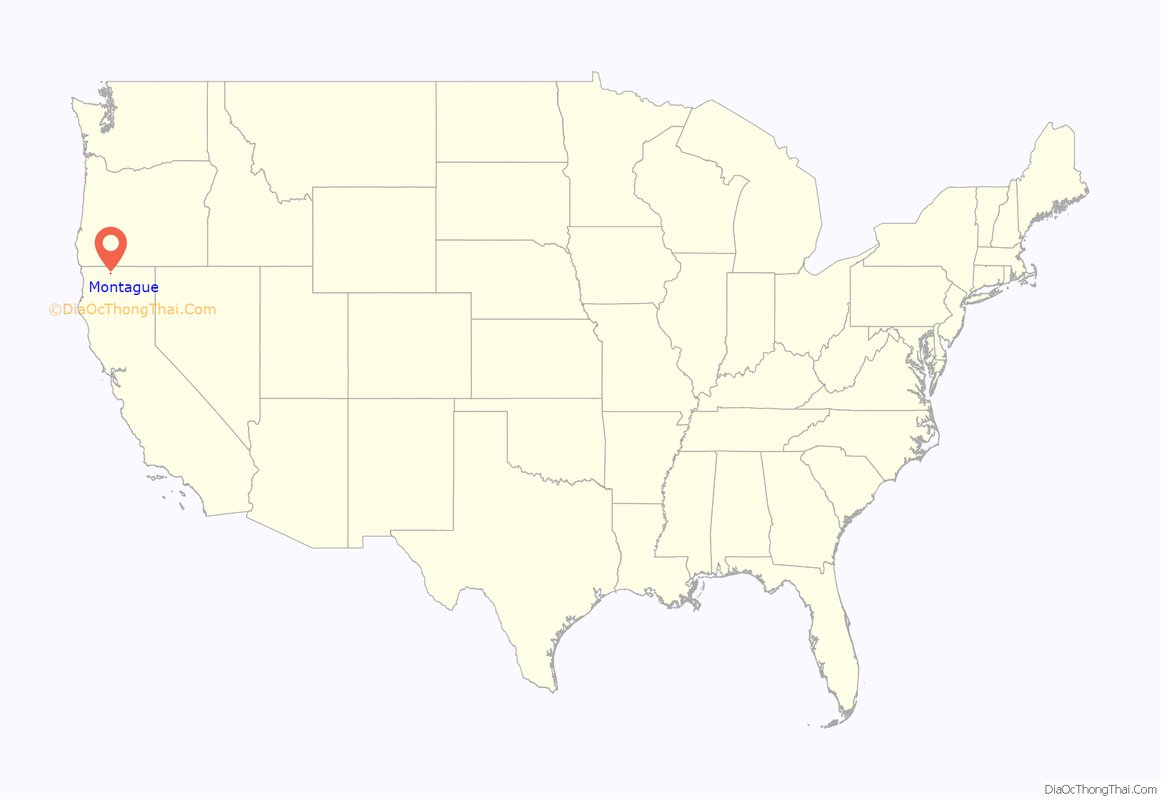
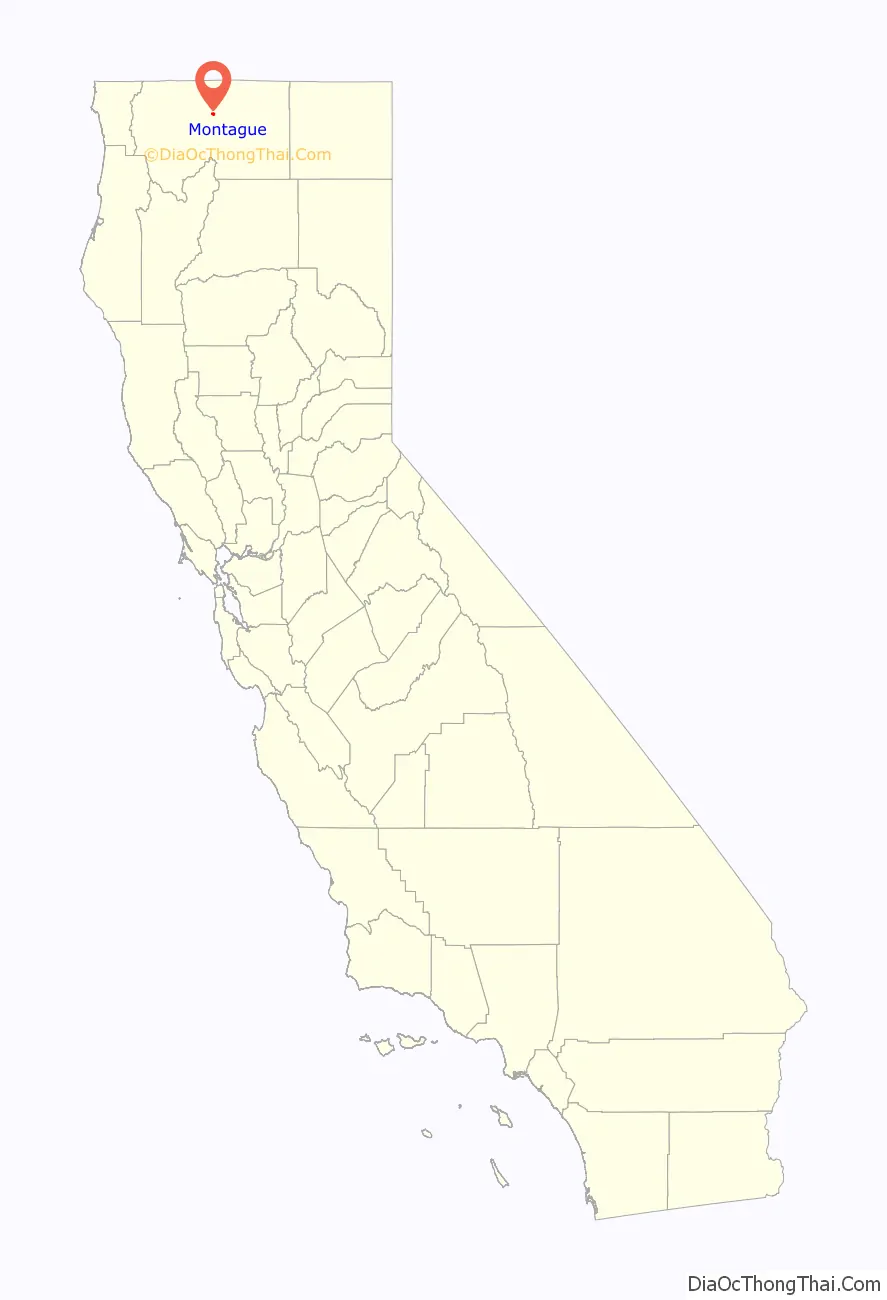
Montague location map. Where is Montague city?
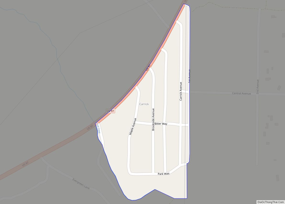
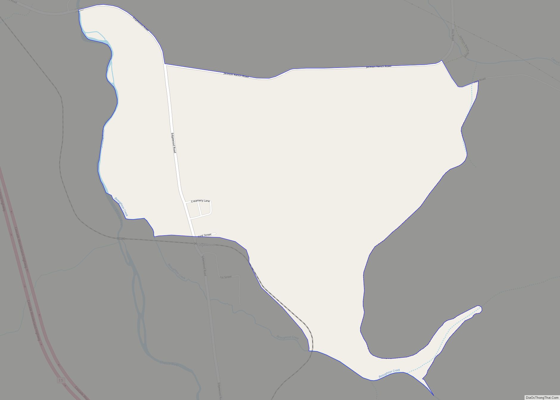
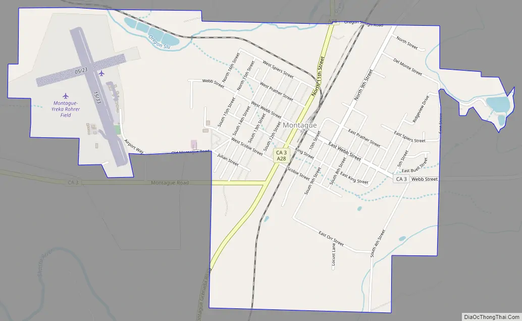
Montague Road Map
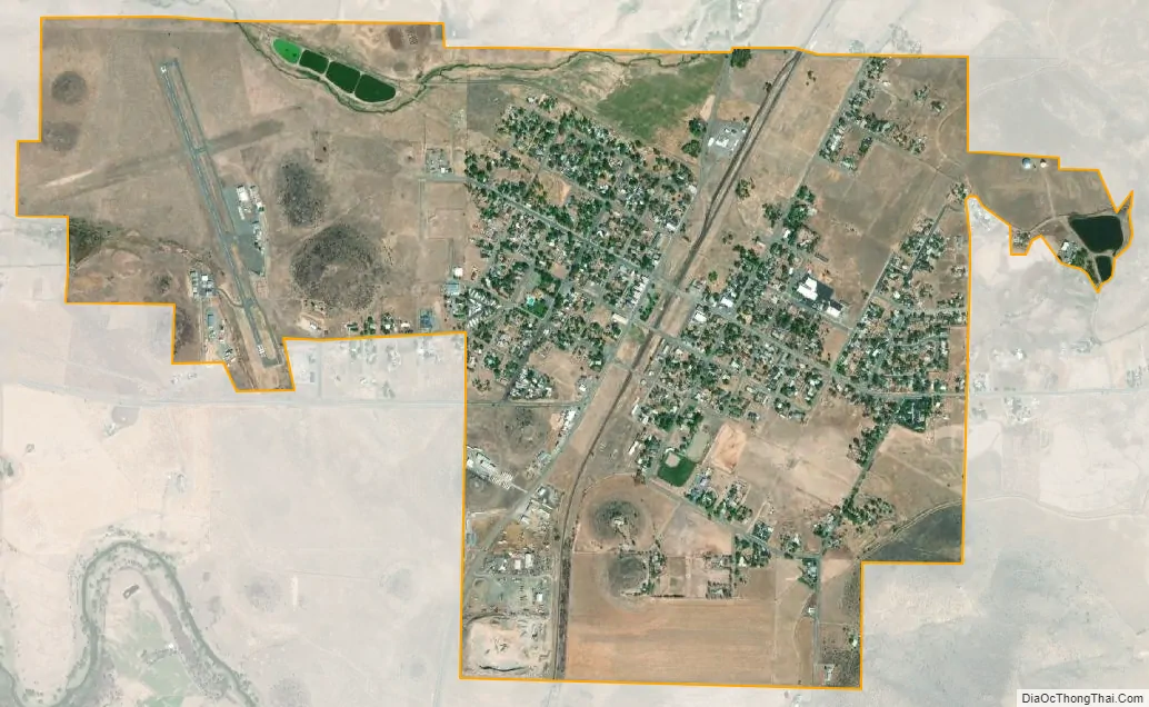
Montague city Satellite Map
Geography
Montague is located at 41°43′38″N 122°31′35″W / 41.72722°N 122.52639°W / 41.72722; -122.52639 (41.727168, -122.526468).
According to the United States Census Bureau, the city has a total area of 1.8 square miles (4.6 km), 99.15% of it land and 0.85% of it water.
Located 6 miles east of Interstate 5 at Yreka along California State Route 3, this is also the site of the interchange between the Yreka Western Railroad and the Central Oregon and Pacific Railroad. General aviation is served at Montague Airport, which also serves Yreka.
Climate
Montague has a Mediterranean climate closely bordering on a steppe climate, very unusual for its location west of the Cascade Crest. Montague and the Shasta Valley are located in a rain shadow created by the Klamath Mountains, giving the area a climate and vegetation type more similar to points east of the Cascades, with average annual precipitation similar to Bend, Oregon. Rainfall is nonexistent in summer, except for the very occasional thunderstorm. The area experiences cool to cold winters with somewhat frequent snowfall, and hot summers with large diurnal temperature variation and nearly constant sunshine.
See also
Map of California State and its subdivision:- Alameda
- Alpine
- Amador
- Butte
- Calaveras
- Colusa
- Contra Costa
- Del Norte
- El Dorado
- Fresno
- Glenn
- Humboldt
- Imperial
- Inyo
- Kern
- Kings
- Lake
- Lassen
- Los Angeles
- Madera
- Marin
- Mariposa
- Mendocino
- Merced
- Modoc
- Mono
- Monterey
- Napa
- Nevada
- Orange
- Placer
- Plumas
- Riverside
- Sacramento
- San Benito
- San Bernardino
- San Diego
- San Francisco
- San Joaquin
- San Luis Obispo
- San Mateo
- Santa Barbara
- Santa Clara
- Santa Cruz
- Shasta
- Sierra
- Siskiyou
- Solano
- Sonoma
- Stanislaus
- Sutter
- Tehama
- Trinity
- Tulare
- Tuolumne
- Ventura
- Yolo
- Yuba
- Alabama
- Alaska
- Arizona
- Arkansas
- California
- Colorado
- Connecticut
- Delaware
- District of Columbia
- Florida
- Georgia
- Hawaii
- Idaho
- Illinois
- Indiana
- Iowa
- Kansas
- Kentucky
- Louisiana
- Maine
- Maryland
- Massachusetts
- Michigan
- Minnesota
- Mississippi
- Missouri
- Montana
- Nebraska
- Nevada
- New Hampshire
- New Jersey
- New Mexico
- New York
- North Carolina
- North Dakota
- Ohio
- Oklahoma
- Oregon
- Pennsylvania
- Rhode Island
- South Carolina
- South Dakota
- Tennessee
- Texas
- Utah
- Vermont
- Virginia
- Washington
- West Virginia
- Wisconsin
- Wyoming