Monte Rio (Spanish: Monte Río, meaning “River Mountain”) is a census-designated place (CDP) in Sonoma County, California along the Russian River near the Pacific Ocean. The town of Guerneville lies northeast of Monte Rio, and Jenner is to the west. The population was 1,152 at the 2010 census, up from 1,104 at the 2000 census. Bohemian Grove is located in Monte Rio.
| Name: | Monte Rio CDP |
|---|---|
| LSAD Code: | 57 |
| LSAD Description: | CDP (suffix) |
| State: | California |
| County: | Sonoma County |
| Elevation: | 43 ft (13 m) |
| Total Area: | 1.977 sq mi (5.119 km²) |
| Land Area: | 1.904 sq mi (4.930 km²) |
| Water Area: | 0.073 sq mi (0.189 km²) 3.68% |
| Total Population: | 1,152 |
| Population Density: | 580/sq mi (230/km²) |
| ZIP code: | 95462 |
| Area code: | 707 |
| FIPS code: | 0648928 |
| GNISfeature ID: | 1656174 |
Online Interactive Map
Click on ![]() to view map in "full screen" mode.
to view map in "full screen" mode.
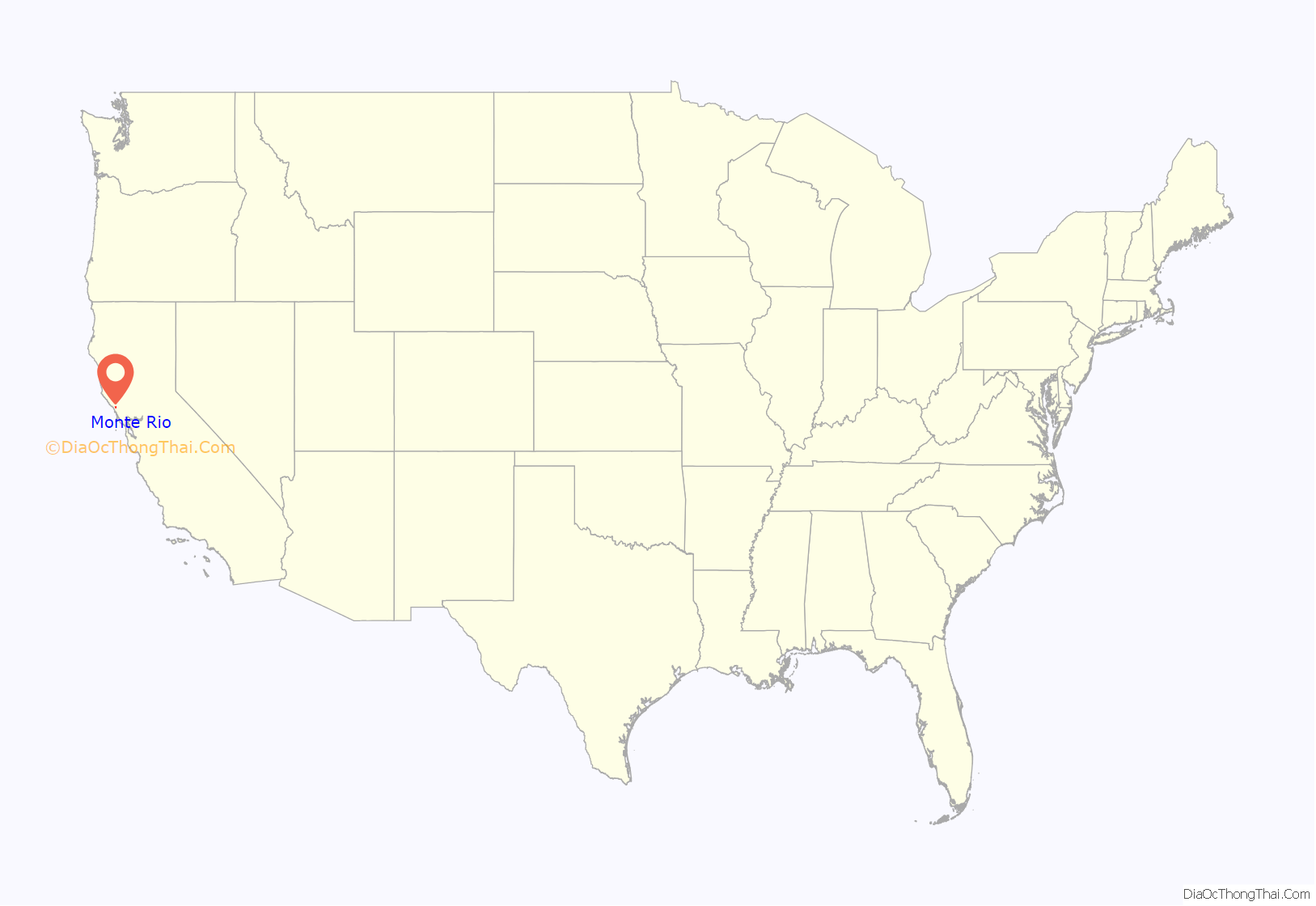
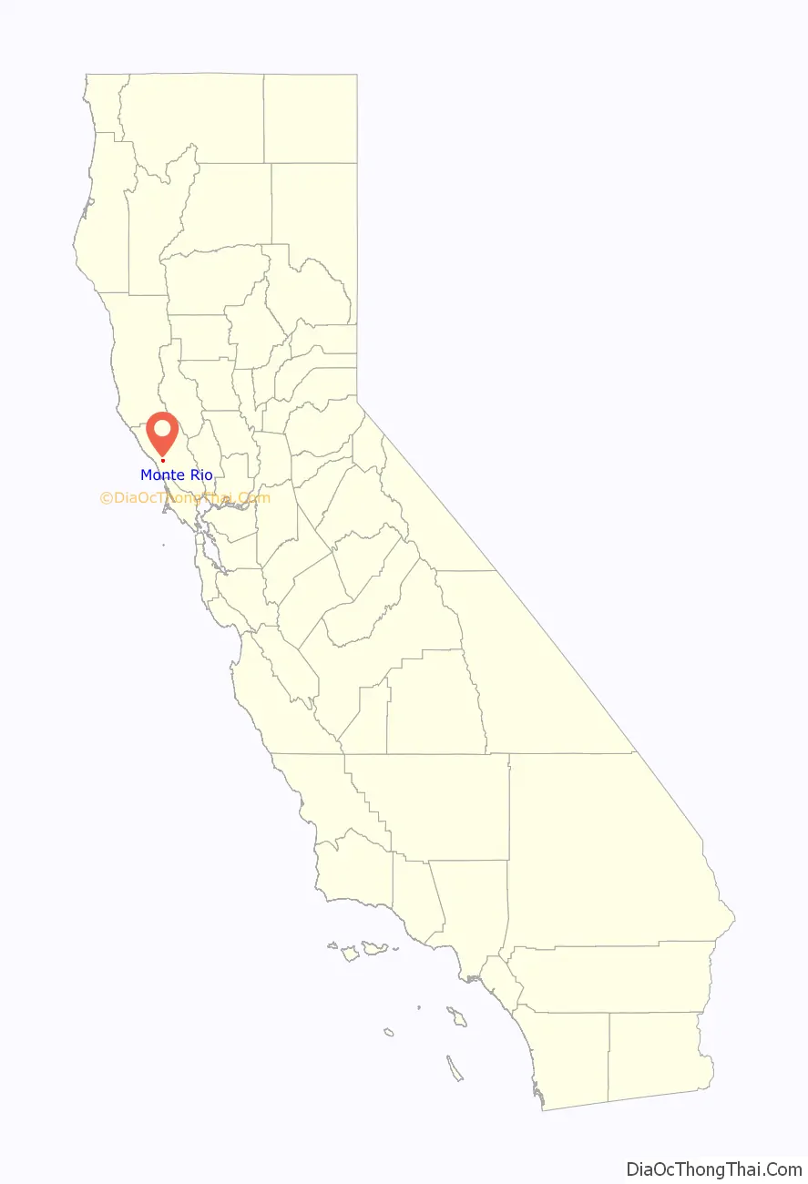
Monte Rio location map. Where is Monte Rio CDP?
History
Starting in the 1870s, Monte Rio was a stop on the North Pacific Coast Railroad connecting Cazadero to the Sausalito, California ferry. Redwood lumber from local sawmills was shipped to build San Francisco. After the sawmills left, the area became known as Vacation Wonderland with trains transporting San Franciscans to summer cabins and even a seven-story hotel downtown. Portions of the 1942 Academy Award-winning film Holiday Inn were filmed at the Village Inn Resort in Monte Rio. The trains no longer run, and the area now is mainly inhabited by full year residents.
Despite heavy logging during the second half of the 19th century, the Sonoma Lumber Company preserved a 160-acre (65 ha) grove of old-growth redwood trees, which was sold to San Francisco’s Bohemian Club in 1899. The club purchased dozens of other parcels in the area, and now owns 2,712 acres (1,098 ha), which it uses for its summer retreats.
Monte Rio Road Map
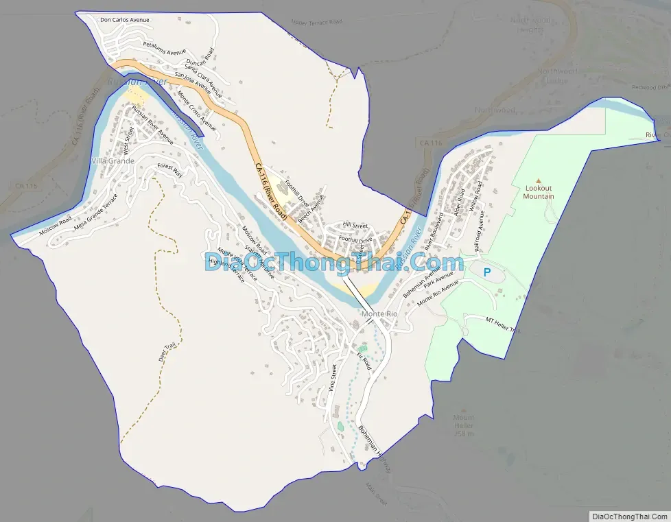
Monte Rio city Satellite Map

Geography
According to the United States Census Bureau, the CDP has a total area of 2.0 square miles (5.2 km), of which 1.9 square miles (4.9 km) is land and 0.07 square miles (0.18 km) (3.68%) is water.
See also
Map of California State and its subdivision:- Alameda
- Alpine
- Amador
- Butte
- Calaveras
- Colusa
- Contra Costa
- Del Norte
- El Dorado
- Fresno
- Glenn
- Humboldt
- Imperial
- Inyo
- Kern
- Kings
- Lake
- Lassen
- Los Angeles
- Madera
- Marin
- Mariposa
- Mendocino
- Merced
- Modoc
- Mono
- Monterey
- Napa
- Nevada
- Orange
- Placer
- Plumas
- Riverside
- Sacramento
- San Benito
- San Bernardino
- San Diego
- San Francisco
- San Joaquin
- San Luis Obispo
- San Mateo
- Santa Barbara
- Santa Clara
- Santa Cruz
- Shasta
- Sierra
- Siskiyou
- Solano
- Sonoma
- Stanislaus
- Sutter
- Tehama
- Trinity
- Tulare
- Tuolumne
- Ventura
- Yolo
- Yuba
- Alabama
- Alaska
- Arizona
- Arkansas
- California
- Colorado
- Connecticut
- Delaware
- District of Columbia
- Florida
- Georgia
- Hawaii
- Idaho
- Illinois
- Indiana
- Iowa
- Kansas
- Kentucky
- Louisiana
- Maine
- Maryland
- Massachusetts
- Michigan
- Minnesota
- Mississippi
- Missouri
- Montana
- Nebraska
- Nevada
- New Hampshire
- New Jersey
- New Mexico
- New York
- North Carolina
- North Dakota
- Ohio
- Oklahoma
- Oregon
- Pennsylvania
- Rhode Island
- South Carolina
- South Dakota
- Tennessee
- Texas
- Utah
- Vermont
- Virginia
- Washington
- West Virginia
- Wisconsin
- Wyoming


