Newell is a census-designated place in Modoc County, California in the United States. It is located 50 miles (80 km) west-northwest of Alturas, at an elevation of 4,042 feet (1,232 m). Its population is 301 as of the 2020 census, down from 449 from the 2010 census.
The community is located along State Route 139 south of Tulelake and about 10 miles (16 km) south of the Oregon border. It is less than 8 miles (13 km) south of Tulelake on the U.S. Geological Survey 7.5-minute quadrangle, Newell, California. The U.S. Geological Survey, National Geographic Names Database, calls its existence official with a feature ID of 1659219 and lists the coordinates of the community as 41°53′18″N 121°22′20″W / 41.88833°N 121.37222°W / 41.88833; -121.37222. The ZIP Code is 96134: a code shared with several other local towns. The community is inside area code 530.
| Name: | Newell CDP |
|---|---|
| LSAD Code: | 57 |
| LSAD Description: | CDP (suffix) |
| State: | California |
| County: | Modoc County |
| Elevation: | 4,042 ft (1,232 m) |
| Total Area: | 2.413 sq mi (6.249 km²) |
| Land Area: | 2.407 sq mi (6.234 km²) |
| Water Area: | 0.006 sq mi (0.015 km²) 0.24% |
| Total Population: | 301 |
| Population Density: | 120/sq mi (48/km²) |
| ZIP code: | 96134 |
| Area code: | 530 |
| FIPS code: | 0651042 |
Online Interactive Map
Click on ![]() to view map in "full screen" mode.
to view map in "full screen" mode.
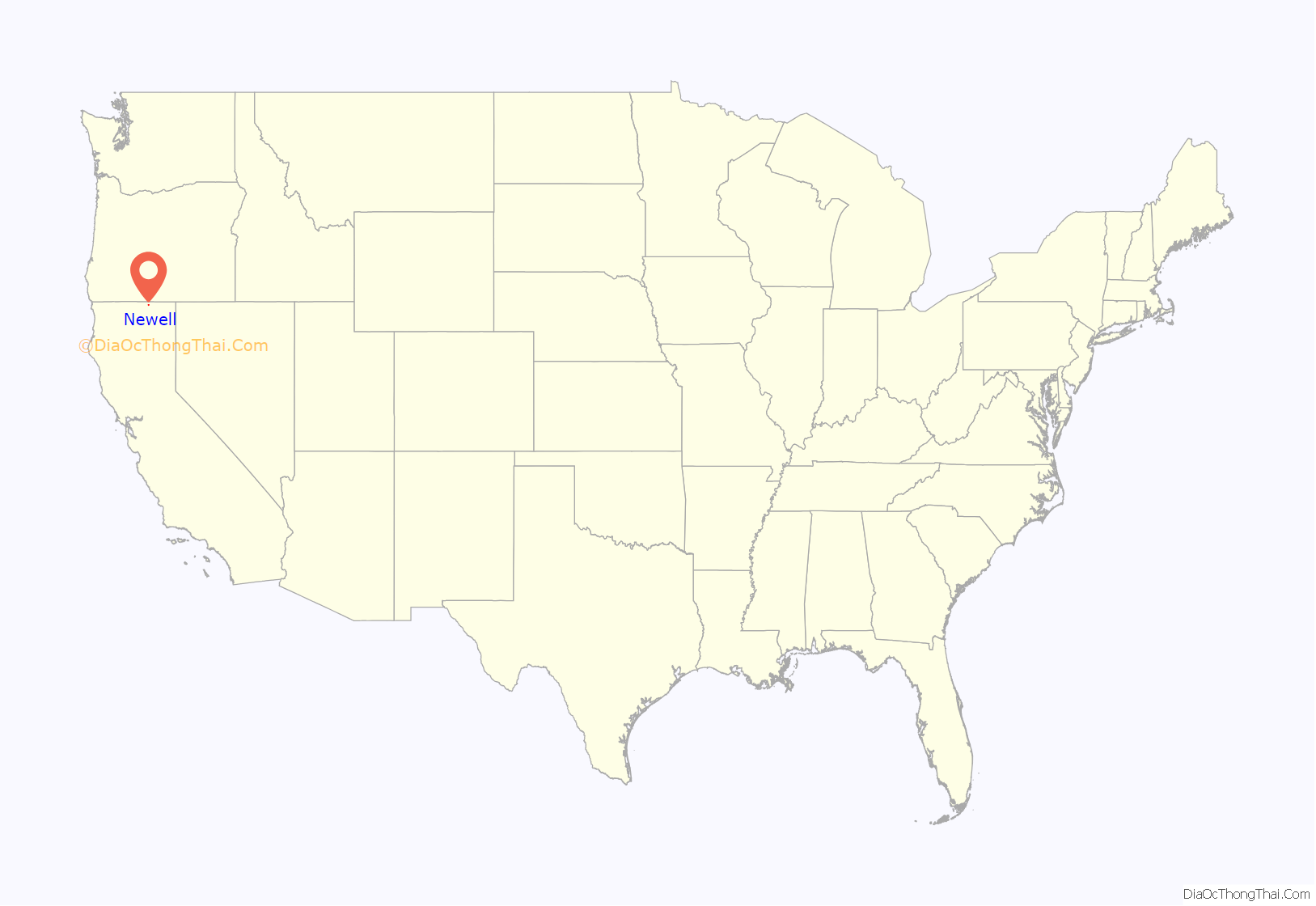
Newell location map. Where is Newell CDP?
History
The town was named in honor of Frederick Haynes Newell, director of the United States Reclamation Service.
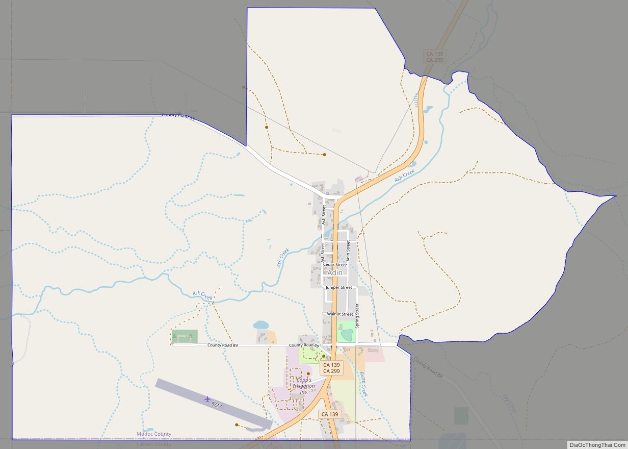
Newell Road Map
Newell city Satellite Map
Geography
According to the United States Census Bureau, the CDP covers an area of 2.4 square miles (6.2 km), 99.76% of it land, and 0.24% of it water.
See also
Map of California State and its subdivision:- Alameda
- Alpine
- Amador
- Butte
- Calaveras
- Colusa
- Contra Costa
- Del Norte
- El Dorado
- Fresno
- Glenn
- Humboldt
- Imperial
- Inyo
- Kern
- Kings
- Lake
- Lassen
- Los Angeles
- Madera
- Marin
- Mariposa
- Mendocino
- Merced
- Modoc
- Mono
- Monterey
- Napa
- Nevada
- Orange
- Placer
- Plumas
- Riverside
- Sacramento
- San Benito
- San Bernardino
- San Diego
- San Francisco
- San Joaquin
- San Luis Obispo
- San Mateo
- Santa Barbara
- Santa Clara
- Santa Cruz
- Shasta
- Sierra
- Siskiyou
- Solano
- Sonoma
- Stanislaus
- Sutter
- Tehama
- Trinity
- Tulare
- Tuolumne
- Ventura
- Yolo
- Yuba
- Alabama
- Alaska
- Arizona
- Arkansas
- California
- Colorado
- Connecticut
- Delaware
- District of Columbia
- Florida
- Georgia
- Hawaii
- Idaho
- Illinois
- Indiana
- Iowa
- Kansas
- Kentucky
- Louisiana
- Maine
- Maryland
- Massachusetts
- Michigan
- Minnesota
- Mississippi
- Missouri
- Montana
- Nebraska
- Nevada
- New Hampshire
- New Jersey
- New Mexico
- New York
- North Carolina
- North Dakota
- Ohio
- Oklahoma
- Oregon
- Pennsylvania
- Rhode Island
- South Carolina
- South Dakota
- Tennessee
- Texas
- Utah
- Vermont
- Virginia
- Washington
- West Virginia
- Wisconsin
- Wyoming
