Oroville East or Kelly Ridge is a census-designated place (CDP) in Butte County, California, United States. The population was 8,280 at the 2010 census, down from 8,680 at the 2000 census. Most citizens are dependent on the commerce of Oroville, and the vast majority of high school students in Kelly Ridge (Oroville East) attend Las Plumas High School. The community of Kelly Ridge sits at Lake Oroville and offers direct access to boating, camping, fishing and a variety of water sports. Some of Oroville’s most beautiful and modern properties can be found here and this neighborhood is also a popular place to retire and enjoy the outdoors.
| Name: | Oroville East CDP |
|---|---|
| LSAD Code: | 57 |
| LSAD Description: | CDP (suffix) |
| State: | California |
| County: | Butte County |
| Total Area: | 22.324 sq mi (57.819 km²) |
| Land Area: | 22.149 sq mi (57.365 km²) |
| Water Area: | 0.175 sq mi (0.454 km²) 0.79% |
| Total Population: | 8,280 |
| Population Density: | 370/sq mi (140/km²) |
| ZIP code: | 95965 |
| Area code: | 530 |
| FIPS code: | 0654388 |
Online Interactive Map
Click on ![]() to view map in "full screen" mode.
to view map in "full screen" mode.
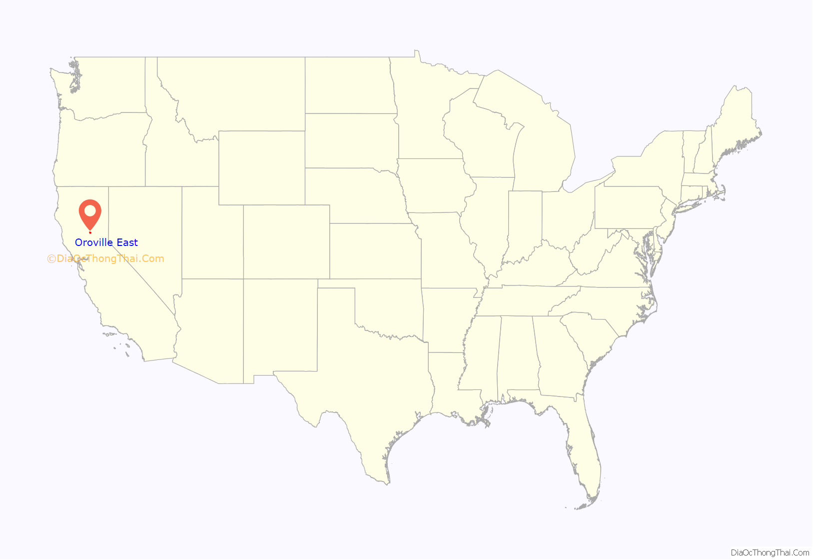
Oroville East location map. Where is Oroville East CDP?
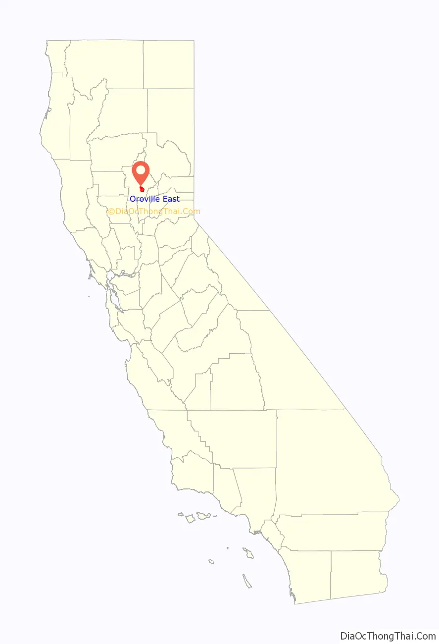
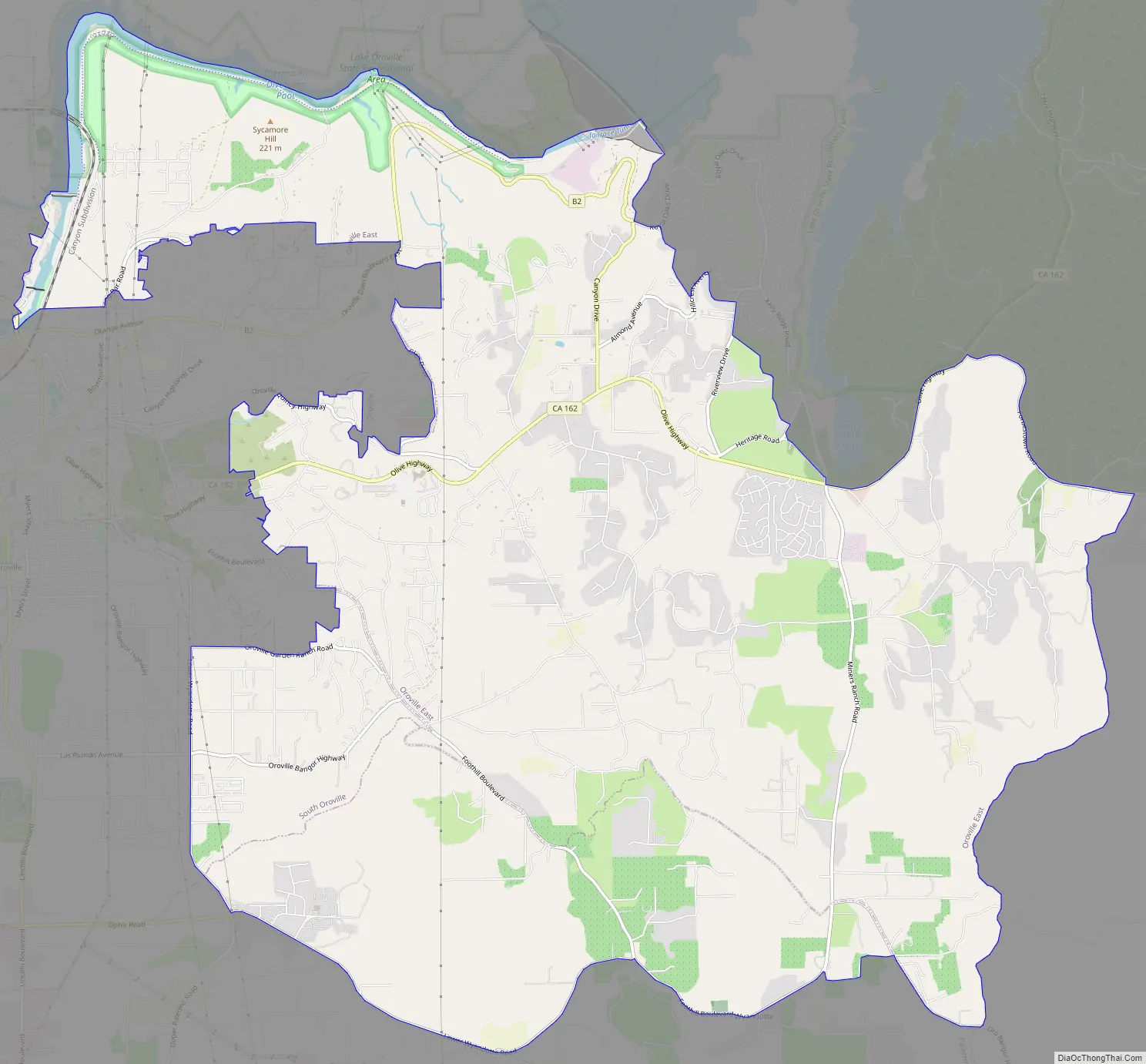
Oroville East Road Map
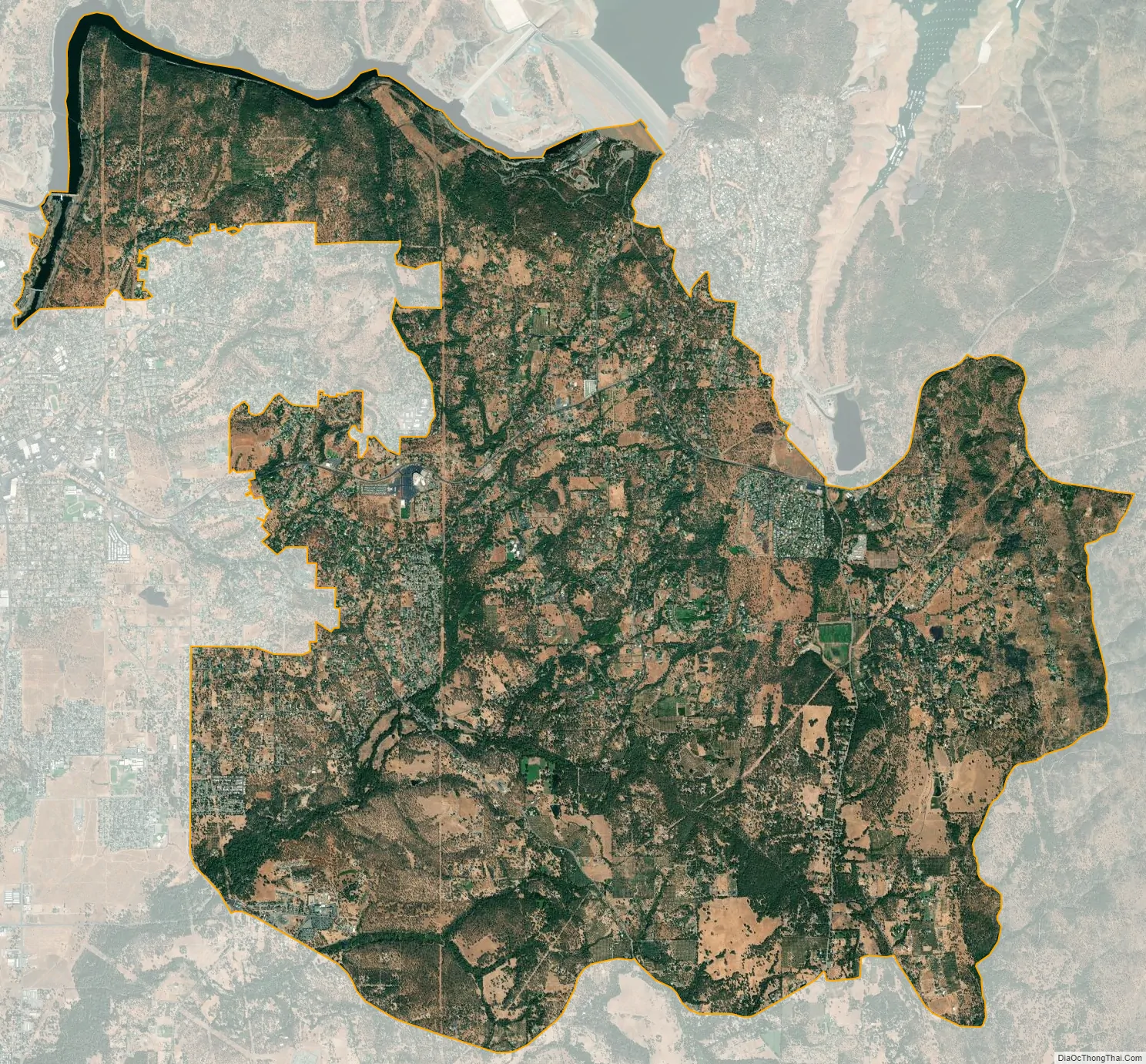
Oroville East city Satellite Map
Geography
Oroville East is located at 39°30′42″N 121°30′16″W / 39.51167°N 121.50444°W / 39.51167; -121.50444 (39.511805, -121.504345).
According to the United States Census Bureau, the CDP has a total area of 22.3 square miles (58 km), of which, 22.1 square miles (57 km) of it is land and 0.2 square miles (0.52 km) of it (0.79%) is water.
See also
Map of California State and its subdivision:- Alameda
- Alpine
- Amador
- Butte
- Calaveras
- Colusa
- Contra Costa
- Del Norte
- El Dorado
- Fresno
- Glenn
- Humboldt
- Imperial
- Inyo
- Kern
- Kings
- Lake
- Lassen
- Los Angeles
- Madera
- Marin
- Mariposa
- Mendocino
- Merced
- Modoc
- Mono
- Monterey
- Napa
- Nevada
- Orange
- Placer
- Plumas
- Riverside
- Sacramento
- San Benito
- San Bernardino
- San Diego
- San Francisco
- San Joaquin
- San Luis Obispo
- San Mateo
- Santa Barbara
- Santa Clara
- Santa Cruz
- Shasta
- Sierra
- Siskiyou
- Solano
- Sonoma
- Stanislaus
- Sutter
- Tehama
- Trinity
- Tulare
- Tuolumne
- Ventura
- Yolo
- Yuba
- Alabama
- Alaska
- Arizona
- Arkansas
- California
- Colorado
- Connecticut
- Delaware
- District of Columbia
- Florida
- Georgia
- Hawaii
- Idaho
- Illinois
- Indiana
- Iowa
- Kansas
- Kentucky
- Louisiana
- Maine
- Maryland
- Massachusetts
- Michigan
- Minnesota
- Mississippi
- Missouri
- Montana
- Nebraska
- Nevada
- New Hampshire
- New Jersey
- New Mexico
- New York
- North Carolina
- North Dakota
- Ohio
- Oklahoma
- Oregon
- Pennsylvania
- Rhode Island
- South Carolina
- South Dakota
- Tennessee
- Texas
- Utah
- Vermont
- Virginia
- Washington
- West Virginia
- Wisconsin
- Wyoming


