Pacheco is a census-designated place (CDP) in Contra Costa County, California. The population was 3,685 at the 2010 census. It is bounded by Martinez to the north and west, Concord to the east, and Pleasant Hill to the south.
| Name: | Pacheco CDP |
|---|---|
| LSAD Code: | 57 |
| LSAD Description: | CDP (suffix) |
| State: | California |
| County: | Contra Costa County |
| Elevation: | 75 ft (23 m) |
| Total Area: | 0.740 sq mi (1.917 km²) |
| Land Area: | 0.740 sq mi (1.917 km²) |
| Water Area: | 0 sq mi (0 km²) 0% |
| Total Population: | 3,685 |
| Population Density: | 5,000/sq mi (1,900/km²) |
| ZIP code: | 94553 |
| Area code: | 925 |
| FIPS code: | 0654764 |
Online Interactive Map
Click on ![]() to view map in "full screen" mode.
to view map in "full screen" mode.
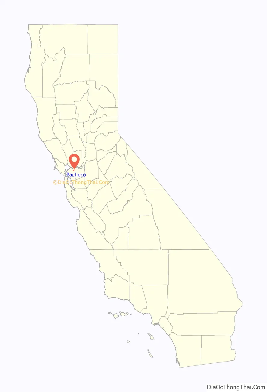
Pacheco location map. Where is Pacheco CDP?

History
The town was laid out in 1857 by Dr. J. H. Carothers and named for Salvio Pacheco, grantee of the Rancho Monte del Diablo Mexican land grant. A post office operated at Pacheco from 1859 to 1913 and from 1955 to the present.
Pacheco was briefly a prosperous commercial center. During this period, Pacheco Slough was deep enough to receive ocean-based shipping. From 1851 to nearly 1873, Pacheco was the county’s commercial center: the shipping port for the grain grown in the Ygnacio, San Ramon and Tassajara valleys, with warehouses, a flour mill and shops along the creek. Walnut Creek, (then known as Pacheco Creek), then flowed deep and free into Suisun Bay. For over 20 years, Pacheco was a major shipping port for central Contra Costa County.
The destruction of Pacheco’s Walnut Creek shipping channel occurred gradually over many years and for many reasons. Man-made ecologic damage eventually combined with a series of fires and floods, as well as an earthquake, destroyed the town and filled the Slough with silt during the 1860s, to ruin Pacheco’s growing prosperity just as similar ones had done to the great classic ports of Ephesus and Troy. Pacheco was subsequently depopulated by the attraction of the nearby town of Todos Santos, later to be known as Concord.
Pacheco Road Map

Pacheco city Satellite Map

Geography
According to the United States Census Bureau, the CDP has a total area of 0.7 square miles (1.8 square kilometres), all of it land.
Climate
This region experiences warm (but not hot) and dry summers, with no average monthly temperatures above 71.6 °F. According to the Köppen Climate Classification system, Pacheco has a warm-summer Mediterranean climate, abbreviated “Csb” on climate maps.
See also
Map of California State and its subdivision:- Alameda
- Alpine
- Amador
- Butte
- Calaveras
- Colusa
- Contra Costa
- Del Norte
- El Dorado
- Fresno
- Glenn
- Humboldt
- Imperial
- Inyo
- Kern
- Kings
- Lake
- Lassen
- Los Angeles
- Madera
- Marin
- Mariposa
- Mendocino
- Merced
- Modoc
- Mono
- Monterey
- Napa
- Nevada
- Orange
- Placer
- Plumas
- Riverside
- Sacramento
- San Benito
- San Bernardino
- San Diego
- San Francisco
- San Joaquin
- San Luis Obispo
- San Mateo
- Santa Barbara
- Santa Clara
- Santa Cruz
- Shasta
- Sierra
- Siskiyou
- Solano
- Sonoma
- Stanislaus
- Sutter
- Tehama
- Trinity
- Tulare
- Tuolumne
- Ventura
- Yolo
- Yuba
- Alabama
- Alaska
- Arizona
- Arkansas
- California
- Colorado
- Connecticut
- Delaware
- District of Columbia
- Florida
- Georgia
- Hawaii
- Idaho
- Illinois
- Indiana
- Iowa
- Kansas
- Kentucky
- Louisiana
- Maine
- Maryland
- Massachusetts
- Michigan
- Minnesota
- Mississippi
- Missouri
- Montana
- Nebraska
- Nevada
- New Hampshire
- New Jersey
- New Mexico
- New York
- North Carolina
- North Dakota
- Ohio
- Oklahoma
- Oregon
- Pennsylvania
- Rhode Island
- South Carolina
- South Dakota
- Tennessee
- Texas
- Utah
- Vermont
- Virginia
- Washington
- West Virginia
- Wisconsin
- Wyoming


