Pasatiempo (Spanish for “Pastime”) is an unincorporated community and census-designated place (CDP) in Santa Cruz County, California, United States, located along State Route 17 between Scotts Valley and Santa Cruz. Bus service is provided by Santa Cruz Metro and the Highway 17 Express. Pasatiempo sits at an elevation of 394 feet (120 m). The 2020 United States census reported Pasatiempo’s population was 1,093.
The ZIP Code is 95060 and the community is part of area code 831.
| Name: | Pasatiempo CDP |
|---|---|
| LSAD Code: | 57 |
| LSAD Description: | CDP (suffix) |
| State: | California |
| County: | Santa Cruz County |
| Elevation: | 394 ft (120 m) |
| Total Area: | 0.884 sq mi (2.289 km²) |
| Land Area: | 0.884 sq mi (2.289 km²) |
| Water Area: | 0 sq mi (0 km²) 0% |
| Total Population: | 1,093 |
| Population Density: | 1,200/sq mi (480/km²) |
| ZIP code: | 95060 |
| Area code: | 831 |
| FIPS code: | 0656028 |
| GNISfeature ID: | 2583108 |
Online Interactive Map
Click on ![]() to view map in "full screen" mode.
to view map in "full screen" mode.
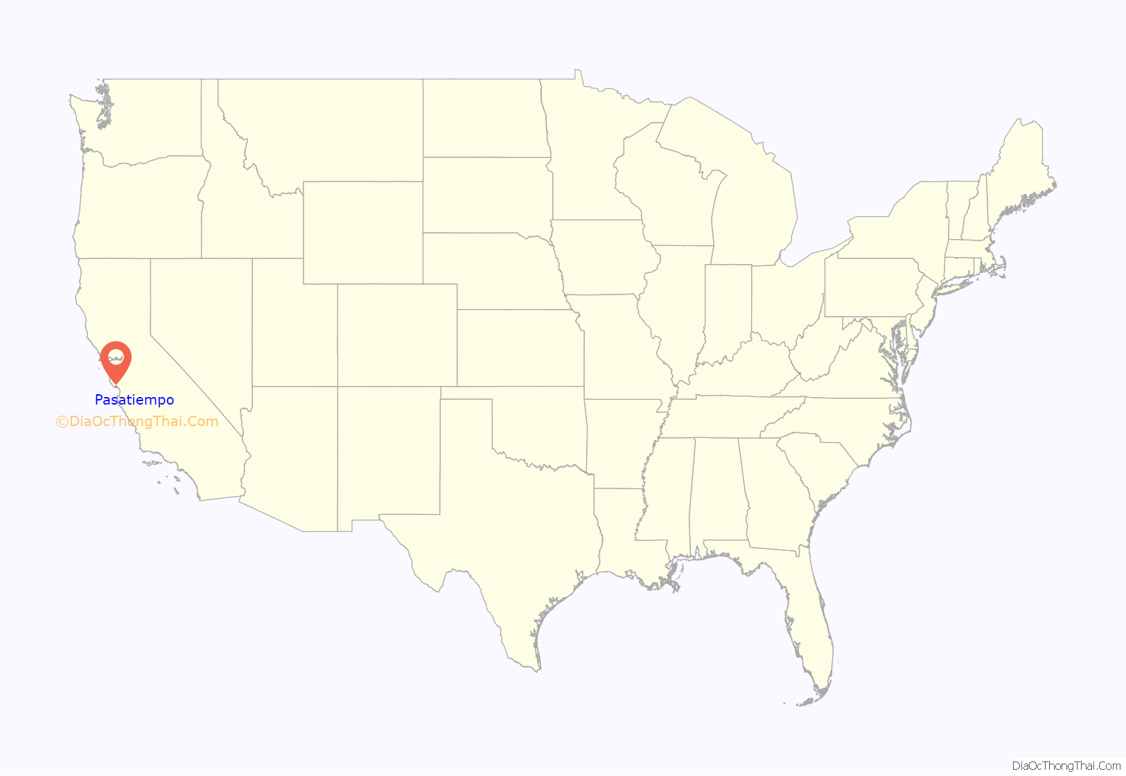
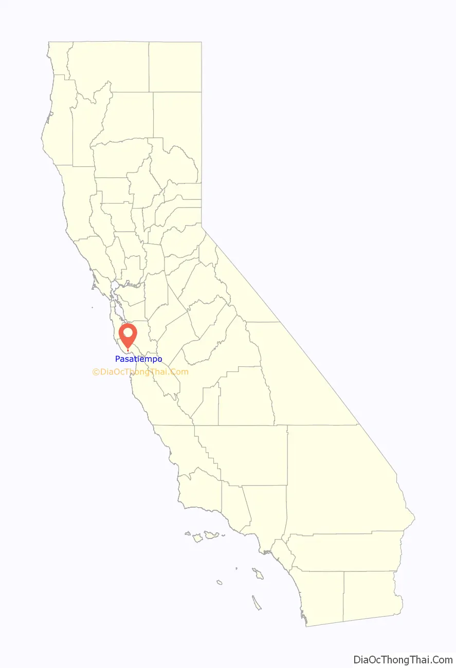
Pasatiempo location map. Where is Pasatiempo CDP?
History
Pasatiempo was founded by Marion Hollins, winner of the 1921 Women’s U.S. Amateur Golf title and captain of the US Curtis Cup team in 1932. Marion Hollins came to California in the mid-1920s to work for Samuel Morse, owner of the Pebble Beach company, and given responsibility for establishing Cypress Point golf club. After Seth Raynor died, she hired Alister MacKenzie to design the course. MacKenzie gives her credit for designing Cypress Point’s famous par 3 16th hole.
After Cypress Point, Marion Hollins set out to build her own golf course and sports center, and on January 12, 1928 she announced that she would be building a sports and real estate complex on land just outside Santa Cruz, CA, calling the area Pasatiempo Estates. She hired noted architect William Wurster to build her home, which still stands today at 33 Hollins Drive inside Pasatiempo. She also brought in Alister MacKenzie to design a course at Pasatiempo Golf Club, which opened in September 1929 with a match featuring Bobby Jones MacKenzie established his home in Pasatiempo, which still stands along the 6th Fairway of the course on Pasatiempo Drive. Pasatiempo Golf Club is located in the community.
Although Marion Hollins’ plans for Pasatiempo originally included a steeplechase course, bridle paths, a park and a beach club on Monterey Bay, her ambitious plans were thwarted by the Great Depression. In November 1940, she left Pasatiempo in a shakeup of Pasatiempo Estates and moved to Monterey, where she died of cancer. Today, Pasatiempo Golf Club remains a Top 100 Golf Club, and the development still has the original clubhouse (now called the “Hollins House”), a swimming pool, and tennis courts.
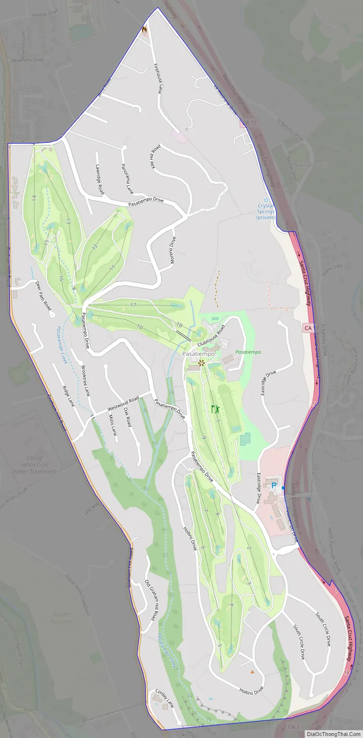
Pasatiempo Road Map
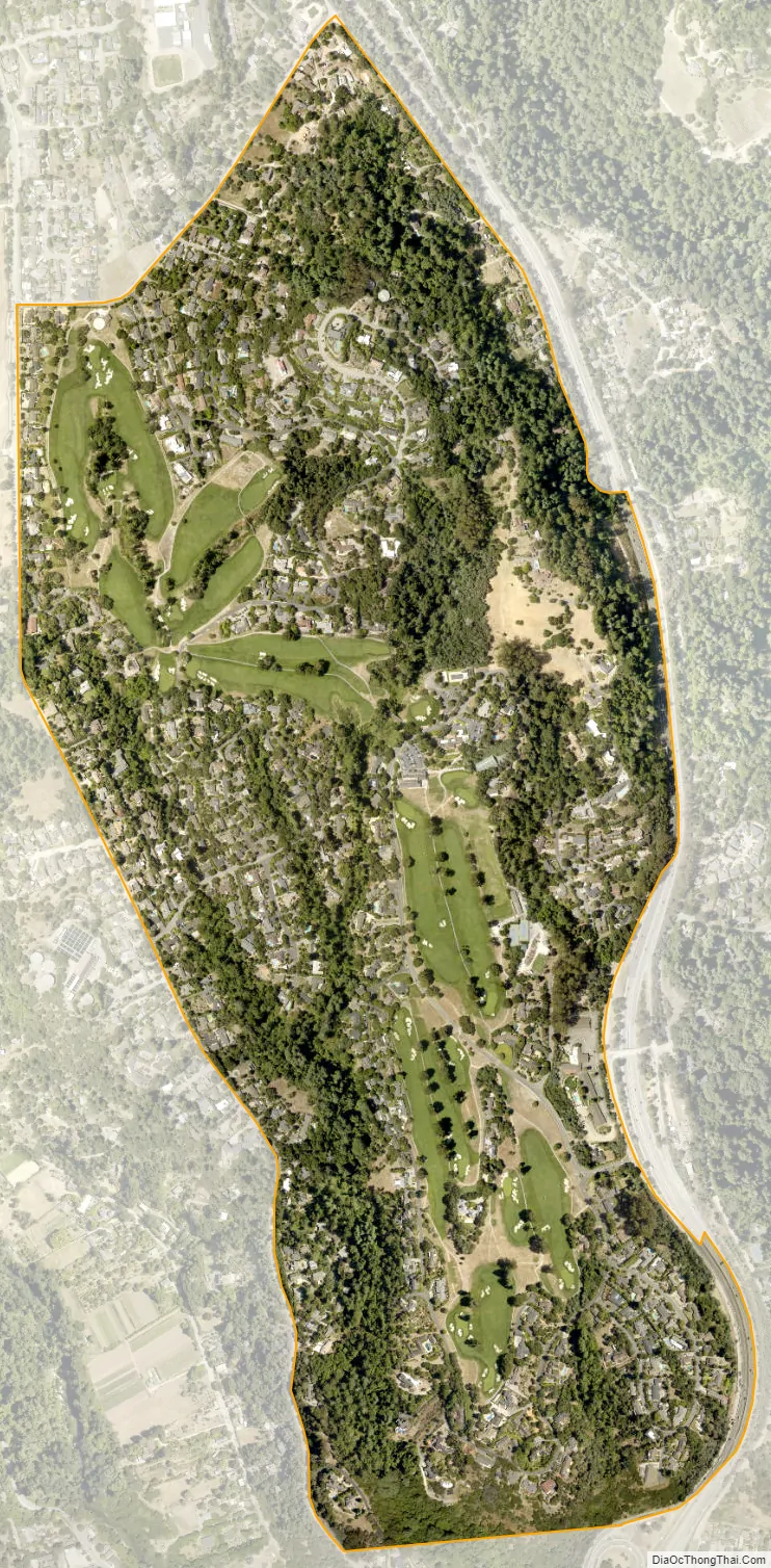
Pasatiempo city Satellite Map
Geography
According to the United States Census Bureau, the CDP covers an area of 0.9 square miles (2.3 km), all of it land.
See also
Map of California State and its subdivision:- Alameda
- Alpine
- Amador
- Butte
- Calaveras
- Colusa
- Contra Costa
- Del Norte
- El Dorado
- Fresno
- Glenn
- Humboldt
- Imperial
- Inyo
- Kern
- Kings
- Lake
- Lassen
- Los Angeles
- Madera
- Marin
- Mariposa
- Mendocino
- Merced
- Modoc
- Mono
- Monterey
- Napa
- Nevada
- Orange
- Placer
- Plumas
- Riverside
- Sacramento
- San Benito
- San Bernardino
- San Diego
- San Francisco
- San Joaquin
- San Luis Obispo
- San Mateo
- Santa Barbara
- Santa Clara
- Santa Cruz
- Shasta
- Sierra
- Siskiyou
- Solano
- Sonoma
- Stanislaus
- Sutter
- Tehama
- Trinity
- Tulare
- Tuolumne
- Ventura
- Yolo
- Yuba
- Alabama
- Alaska
- Arizona
- Arkansas
- California
- Colorado
- Connecticut
- Delaware
- District of Columbia
- Florida
- Georgia
- Hawaii
- Idaho
- Illinois
- Indiana
- Iowa
- Kansas
- Kentucky
- Louisiana
- Maine
- Maryland
- Massachusetts
- Michigan
- Minnesota
- Mississippi
- Missouri
- Montana
- Nebraska
- Nevada
- New Hampshire
- New Jersey
- New Mexico
- New York
- North Carolina
- North Dakota
- Ohio
- Oklahoma
- Oregon
- Pennsylvania
- Rhode Island
- South Carolina
- South Dakota
- Tennessee
- Texas
- Utah
- Vermont
- Virginia
- Washington
- West Virginia
- Wisconsin
- Wyoming


