Prunedale is a census-designated place in Monterey County, California, United States. It is located 8 miles (13 km) north of Salinas at an elevation of 92 feet (28 m). The population was 18,885 as of the 2020 census, up from 17,560 in 2010. Plum trees were grown in Prunedale in the early days of its founding, but the trees died soon after due to poor irrigation and fertilizer.
| Name: | Prunedale CDP |
|---|---|
| LSAD Code: | 57 |
| LSAD Description: | CDP (suffix) |
| State: | California |
| County: | Monterey County |
| Elevation: | 92 ft (28 m) |
| Total Area: | 46.204 sq mi (119.67 km²) |
| Land Area: | 46.062 sq mi (119.30 km²) |
| Water Area: | 0.142 sq mi (0.37 km²) 0.31% |
| Total Population: | 18,885 |
| Population Density: | 410.0/sq mi (158.3/km²) |
| ZIP code: | 93907 (Prunedale) 95012 (Castroville) 95076 (Watsonville) 95004 (Aromas) |
| Area code: | 831 |
| FIPS code: | 0658870 |
| GNISfeature ID: | 0277580 |
Online Interactive Map
Click on ![]() to view map in "full screen" mode.
to view map in "full screen" mode.
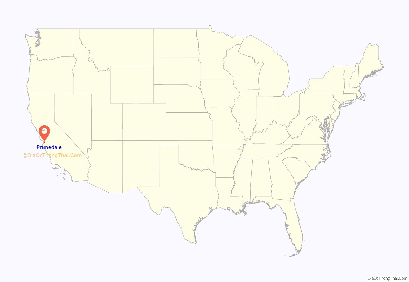
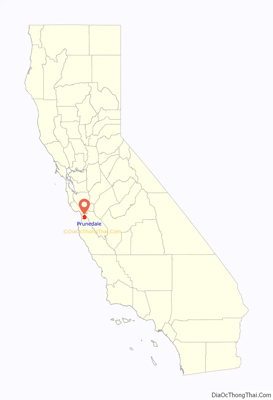
Prunedale location map. Where is Prunedale CDP?
History
One of the area’s earliest settlers was Charles Langley, a Watsonville banker, who also operated the Prunedale post office, which opened in 1894, closed in 1908, and re-opened in 1953. Langley helped establish the Watsonville post office mail service in Prunedale. Langley Canyon Road in Prunedale is named after the Langley family. It was around the time of Prunedale’s founding that the plum orchard failed due to a lack of irrigation and fertilizer, yet the name Prunedale was retained. The unincorporated area maintains a rural feel in most areas.
A major development in the area’s history occurred when U.S. Route 101 was rerouted through Prunedale between 1931 and 1932. U.S. Highway 101 had previously run directly from Salinas to San Juan Bautista. That old route is now known as San Juan Grade Road. In 1946, Highway 101 was widened to four lanes. As Prunedale has grown, increased traffic congestion made Route 101 through Prunedale a Traffic Safety Corridor and a double traffic fine zone in the late 1990s and early 2000s, with reduced speed limits to 55 miles per hour. Detailed plans to build a 101 bypass of Prunedale did not develop. After Caltrans purchased the land for the bypass, it was resolved to improve the highway through Prunedale by adding a San Miguel Canyon overpass, improving the Highway 101 and Highway 156 interchange, making more turn and merge lanes, and making several other improvements on the roadway. These improvements were completed in the early 2000s. In the last few years, with a decline in traffic fatalities, the speed limit was increased to 60 miles per hour via state traffic formulas.
One of the original businesses to inhabit Prunedale was Glenn’s. In the 1970s, the Prunedale Shopping Center was built. The Prunedale Senior Citizens’ Center was built in 1989 with grant funds secured by then Monterey County Supervisor Marc Del Piero. Meals for seniors and public assistance programs, including a bi-weekly food bank giveaway, continue to be operated from that facility. In the 1980s, the Prunetree Shopping Center opened for business.
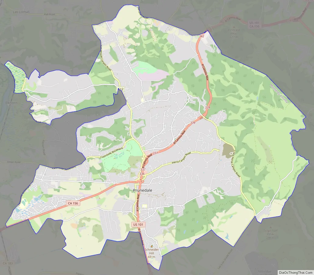
Prunedale Road Map
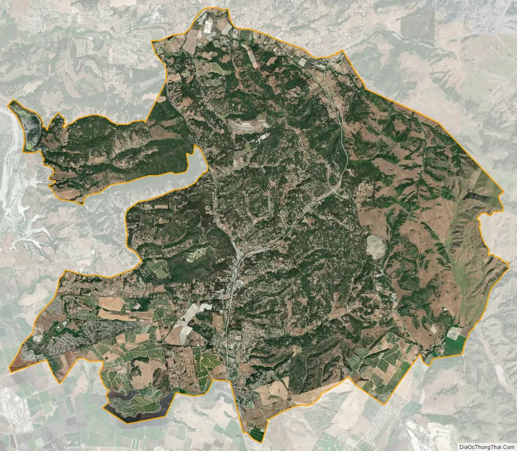
Prunedale city Satellite Map
Geography
Prunedale is located in northern Monterey County at 36°46′33″N 121°40′11″W / 36.77583°N 121.66972°W / 36.77583; -121.66972. It is bordered to the northeast by San Benito County, to the north by the community of Aromas, and to the west by the community of Elkhorn. Via U.S. Route 101, Salinas, the county seat, is 7 miles (11 km) to the south, while Gilroy is 20 miles (32 km) to the north.
According to the United States Census Bureau, the CDP has a total area of 46.2 square miles (120 km), of which 0.1 square miles (0.26 km), or 0.31%, are water. Langley Creek flows by Highway 101 through Prunedale, and is visible at the intersection of Highway 101 and Tustin Road, and again at the intersection of Prunedale South Road and Blackie Road.
See also
Map of California State and its subdivision:- Alameda
- Alpine
- Amador
- Butte
- Calaveras
- Colusa
- Contra Costa
- Del Norte
- El Dorado
- Fresno
- Glenn
- Humboldt
- Imperial
- Inyo
- Kern
- Kings
- Lake
- Lassen
- Los Angeles
- Madera
- Marin
- Mariposa
- Mendocino
- Merced
- Modoc
- Mono
- Monterey
- Napa
- Nevada
- Orange
- Placer
- Plumas
- Riverside
- Sacramento
- San Benito
- San Bernardino
- San Diego
- San Francisco
- San Joaquin
- San Luis Obispo
- San Mateo
- Santa Barbara
- Santa Clara
- Santa Cruz
- Shasta
- Sierra
- Siskiyou
- Solano
- Sonoma
- Stanislaus
- Sutter
- Tehama
- Trinity
- Tulare
- Tuolumne
- Ventura
- Yolo
- Yuba
- Alabama
- Alaska
- Arizona
- Arkansas
- California
- Colorado
- Connecticut
- Delaware
- District of Columbia
- Florida
- Georgia
- Hawaii
- Idaho
- Illinois
- Indiana
- Iowa
- Kansas
- Kentucky
- Louisiana
- Maine
- Maryland
- Massachusetts
- Michigan
- Minnesota
- Mississippi
- Missouri
- Montana
- Nebraska
- Nevada
- New Hampshire
- New Jersey
- New Mexico
- New York
- North Carolina
- North Dakota
- Ohio
- Oklahoma
- Oregon
- Pennsylvania
- Rhode Island
- South Carolina
- South Dakota
- Tennessee
- Texas
- Utah
- Vermont
- Virginia
- Washington
- West Virginia
- Wisconsin
- Wyoming


