Rancho Santa Margarita is a city in Orange County, California, United States. One of Orange County’s youngest cities, Rancho Santa Margarita is a master-planned community. The population was 47,853 at the 2010 census, up from 47,214 at the 2000 census. Although it is named for Rancho Santa Margarita y Las Flores, which was in San Diego County, the city limits fall within the borders of Rancho Mission Viejo. At 20 characters long (22 including spaces), it is the longest city name in California.
| Name: | Rancho Santa Margarita city |
|---|---|
| LSAD Code: | 25 |
| LSAD Description: | city (suffix) |
| State: | California |
| County: | Orange County |
| Incorporated: | January 1, 2000 |
| Elevation: | 925 ft (282 m) |
| Total Area: | 12.94 sq mi (33.52 km²) |
| Land Area: | 12.90 sq mi (33.40 km²) |
| Water Area: | 0.05 sq mi (0.12 km²) 0.27% |
| Total Population: | 47,853 |
| Population Density: | 3,714.02/sq mi (1,434.02/km²) |
| ZIP code: | 92679, 92688 |
| Area code: | 949 |
| FIPS code: | 0659587 |
| Website: | cityofrsm.org |
Online Interactive Map
Click on ![]() to view map in "full screen" mode.
to view map in "full screen" mode.
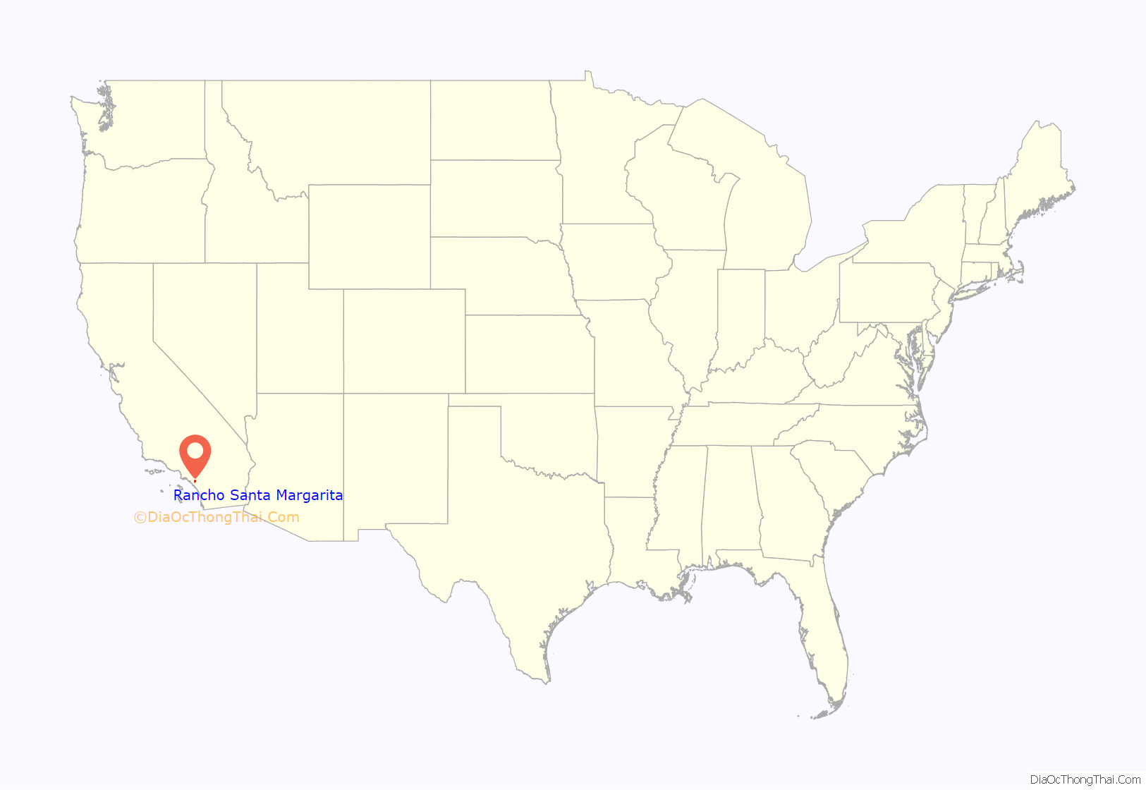
Rancho Santa Margarita location map. Where is Rancho Santa Margarita city?

History
The area is the ancestral lands of the Juaneño Band of Mission Indians, Acjachemen Nation. The village of Alume was located in Rancho Santa Margarita, between Trabuco Creek and Tijeras Creek. In 1810, the Trabuco Adobe was constructed near the village as an outpost of Mission San Juan Capistrano.
The city seal has the brands of Rancho Mission Viejo and Rancho Santa Margarita and Las Flores on the border, with artwork containing Santiago Peak in the background. The tower in the foreground symbolizes the Rancho Santa Margarita Lake Tower.
Hughes Aircraft Company’s Microelectronic Systems Division moved to Rancho Santa Margarita in May 1988 from Irvine. In August 1992, the Hughes plant closed its facilities and moved the division to Carlsbad, California due to budget constraints in the aerospace industry.
Rolling Hills Estates had the longest city name in California with 19 letters until January 1, 2000, when the title was ceded to Rancho Santa Margarita (20 letters) upon the latter’s incorporation.
The City is a general law city and operates under the council-manager form of government. Rancho Santa Margarita is a contract city. Police services are provided through contract with the Orange County Sheriff. Fire Protection services are provided through the Orange County Fire Authority.
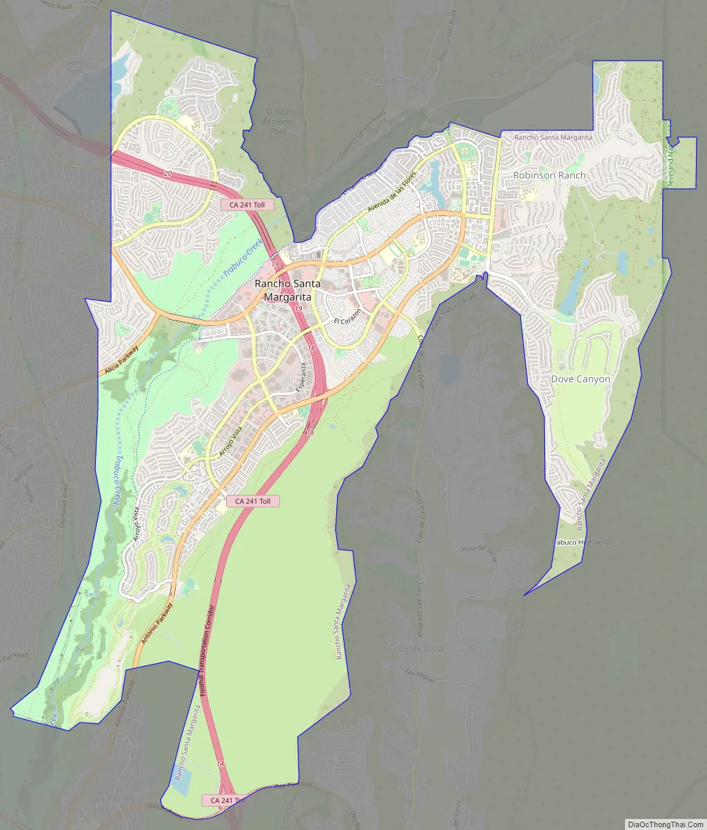
Rancho Santa Margarita Road Map
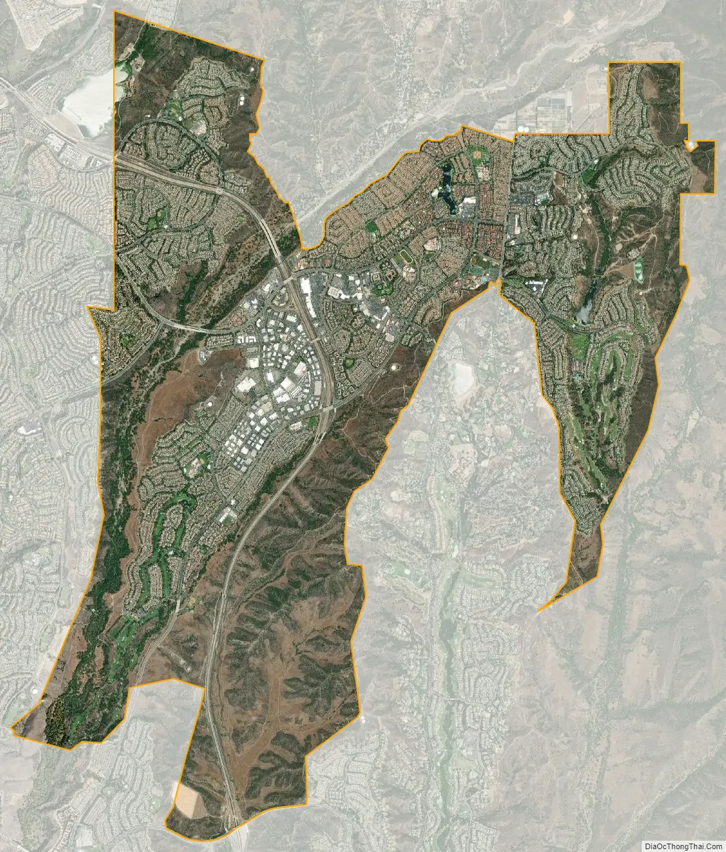
Rancho Santa Margarita city Satellite Map
Geography
Rancho Santa Margarita is located at 33°38′29″N 117°35′40″W / 33.64139°N 117.59444°W / 33.64139; -117.59444 (33.641518, -117.594524). It occupies much of a high plateau known as Plano Trabuco.
According to the United States Census Bureau, the city has a total area of 13.0 square miles (34 km). 13.0 square miles (34 km) of it is land and 0.04 square miles (0.10 km) of it (0.27%) is water.
Rancho Santa Margarita is bordered by the city of Mission Viejo on the west, the census-designated Coto de Caza and Las Flores on the south, Trabuco Canyon on the north, and the Cleveland National Forest on the east.
Vehicular access is provided by California State Route 241 (a toll road), in addition to several surface streets.
See also
Map of California State and its subdivision:- Alameda
- Alpine
- Amador
- Butte
- Calaveras
- Colusa
- Contra Costa
- Del Norte
- El Dorado
- Fresno
- Glenn
- Humboldt
- Imperial
- Inyo
- Kern
- Kings
- Lake
- Lassen
- Los Angeles
- Madera
- Marin
- Mariposa
- Mendocino
- Merced
- Modoc
- Mono
- Monterey
- Napa
- Nevada
- Orange
- Placer
- Plumas
- Riverside
- Sacramento
- San Benito
- San Bernardino
- San Diego
- San Francisco
- San Joaquin
- San Luis Obispo
- San Mateo
- Santa Barbara
- Santa Clara
- Santa Cruz
- Shasta
- Sierra
- Siskiyou
- Solano
- Sonoma
- Stanislaus
- Sutter
- Tehama
- Trinity
- Tulare
- Tuolumne
- Ventura
- Yolo
- Yuba
- Alabama
- Alaska
- Arizona
- Arkansas
- California
- Colorado
- Connecticut
- Delaware
- District of Columbia
- Florida
- Georgia
- Hawaii
- Idaho
- Illinois
- Indiana
- Iowa
- Kansas
- Kentucky
- Louisiana
- Maine
- Maryland
- Massachusetts
- Michigan
- Minnesota
- Mississippi
- Missouri
- Montana
- Nebraska
- Nevada
- New Hampshire
- New Jersey
- New Mexico
- New York
- North Carolina
- North Dakota
- Ohio
- Oklahoma
- Oregon
- Pennsylvania
- Rhode Island
- South Carolina
- South Dakota
- Tennessee
- Texas
- Utah
- Vermont
- Virginia
- Washington
- West Virginia
- Wisconsin
- Wyoming


