San Clemente (/ˌsæn kləˈmɛnti/; Spanish for “St. Clement”) is a city in Orange County, California. Located in the Orange Coast region of the South Coast of California, San Clemente’s population was 64,293 in at the 2020 census. Situated roughly midway between Los Angeles and San Diego, San Clemente is a popular tourist destination in Southern California, known for its beaches, Spanish Colonial Revival architecture, and hospitality industry. San Clemente’s city slogan is “Spanish Village by the Sea”.
| Name: | San Clemente city |
|---|---|
| LSAD Code: | 25 |
| LSAD Description: | city (suffix) |
| State: | California |
| County: | Orange County |
| Incorporated: | February 28, 1928 |
| Elevation: | 233 ft (71 m) |
| Total Area: | 19.11 sq mi (49.48 km²) |
| Land Area: | 18.36 sq mi (47.54 km²) |
| Water Area: | 0.75 sq mi (1.94 km²) 3.89% |
| Total Population: | 64,293 |
| Population Density: | 3,400/sq mi (1,300/km²) |
| ZIP code: | 92672–92674 |
| Area code: | 949 |
| FIPS code: | 0665084 |
| Website: | www.san-clemente.org |
Online Interactive Map
Click on ![]() to view map in "full screen" mode.
to view map in "full screen" mode.
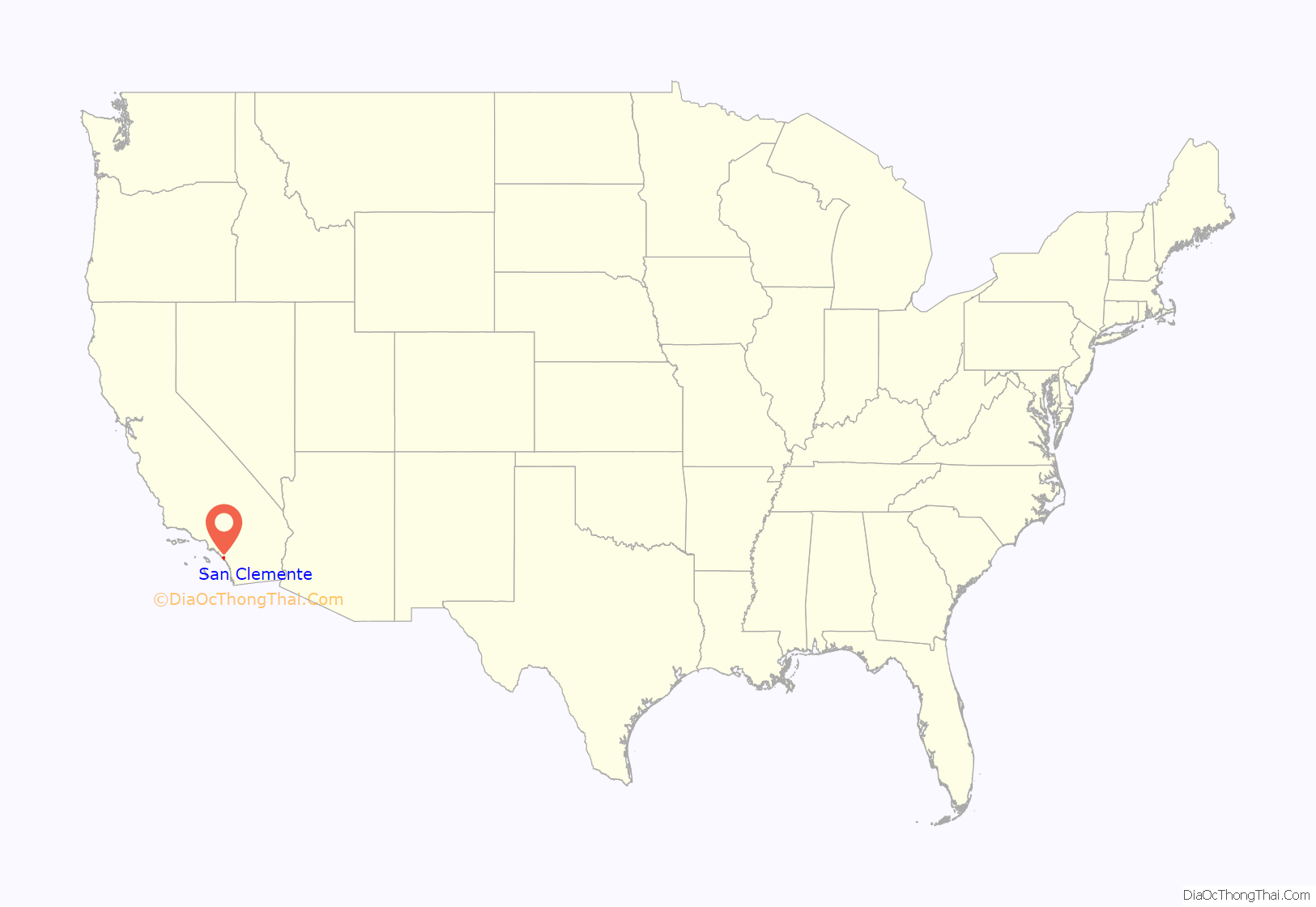
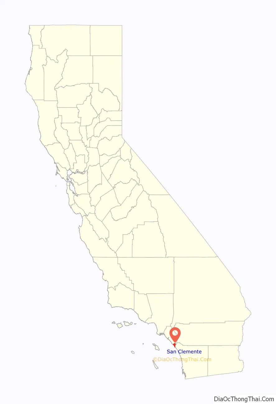
San Clemente location map. Where is San Clemente city?
History
Indigenous
The Acjachemen are the Indigenous people of San Clemente. Panhe was located about three miles south of San Clemente, and has been historically documented to be over 9,600 years old. It remains an important site for the Acjachemen.
Spanish era
In 1776 Father Junípero Serra founded Mission San Juan Capistrano, and afterward the local indigenous people were dubbed “Juaneños” in Spanish. Both Native Americans and Spanish settlers established villages near the mission, and local indigenous people were conscripted to work for the mission.
Mexican and Post-Conquest eras
San Clemente was included as part of Rancho Boca de la Playa, granted in 1846 by Governor Pío Pico to Emigdio Véjar. Following the American conquest of California, California came under United States sovereignty in 1848. In 1860, Véjar sold the rancho to Juan Ávila, grantee of Rancho Niguel, who later conveyed it to his son-in-law, Pablo Pryor.
American era
Property rights to the land exchanged hands several times, but few ventured to build on it until 1925, when former Mayor of Seattle, Ole Hanson, an out-of-town major land developer, purchased and designed a 2,000-acre (8.1 km) community with the financial help of a syndicate headed by Hamilton Cotton. Hanson anticipated that Californians weary of “the big city” would find refuge in the region’s agreeable climate, stunning beaches, and rich land. He named the city after San Clemente Island, which in turn was named by the explorer Sebastián Vizcaino in 1602 after Saint Clement. Hanson envisioned it as a Mediterranean-style coastal resort town, his “San Clemente by the Sea.” He had a clause added to the deeds requiring all building plans to be submitted to an architectural review board in an effort to ensure future development would retain red tile roofs and white exteriors. This proved to be short-lived; an eclectic mix of building styles is found in the oldest parts of town.
Hanson succeeded in promoting the new area and selling property. He built public structures such as the Beach Club, the community center, the pier and San Clemente Plaza, now known as Max Berg Plaza Park. The area was officially incorporated as a city on February 27, 1928, with a council-manager government. Referring to the way he would develop the city, Hanson proclaimed, “I have a clean canvas and I am determined to paint a clean picture. Think of it – a canvas five miles long and one and one-half miles wide!… My San Clemente by the Sea.” Soon after San Clemente was incorporated, the need for a fire station was realized. The headlines in San Clemente’s first newspaper, El Heraldo de San Clemente June 1928 read: “Building to house local fire department will be constructed by popular subscription and turned over to the city when completed!” Individual subscriptions were received in the amounts from $6.00 to $1,500.00 from the citizenry.
One of the most iconic landmarks in San Clemente is the San Clemente Pier, first constructed in 1928 and rebuilt in 1939 and 1983.
When Ole Hanson came to San Clemente and decided to develop the city he moved into his epitome of the perfect house which was called Casa Romantica. Hansen owned Casa Romantica up until the Great Depression hit and the Bank of America foreclosed on the property.
In 1969, President Richard Nixon bought part of the H. H. Cotton estate, one of the original homes built by one of Hanson’s partners. Nixon called it “La Casa Pacifica” and it was nicknamed the “Western White House,” a term for a President’s vacation home. It sits above one of the West Coast’s premier surfing spots, Trestles, and just north of historic surfing beach San Onofre. Many world leaders visited the home during Nixon’s tenure, including Soviet general secretary Leonid Brezhnev, Mexican President Gustavo Díaz Ordaz, Prime Minister of Japan Eisaku Satō, Henry Kissinger, and businessman Bebe Rebozo. After his resignation, Nixon retired to San Clemente to write his memoirs. He sold the home in 1980 and moved to New York City. The property also has historical ties to the Democratic side of the aisle; prior to Nixon’s tenure at the estate, H. H. Cotton was known to host Franklin D. Roosevelt, who would visit to play cards in a small outbuilding overlooking the Pacific Ocean.
In 1994, the Clarence Lobo Elementary School, named after Clarence H. Lobo, chief of the Acjachemen people from 1946 to 1985, was opened in San Clemente as part of the Capistrano Unified School District. The opening of the school was notable as the first school in California to be named after an Indigenous leader.
The historic “North Beach” area is home to San Clemente’s Casino Building and Ole Hanson Beach Club, which were renovated in 2010 and 2016.
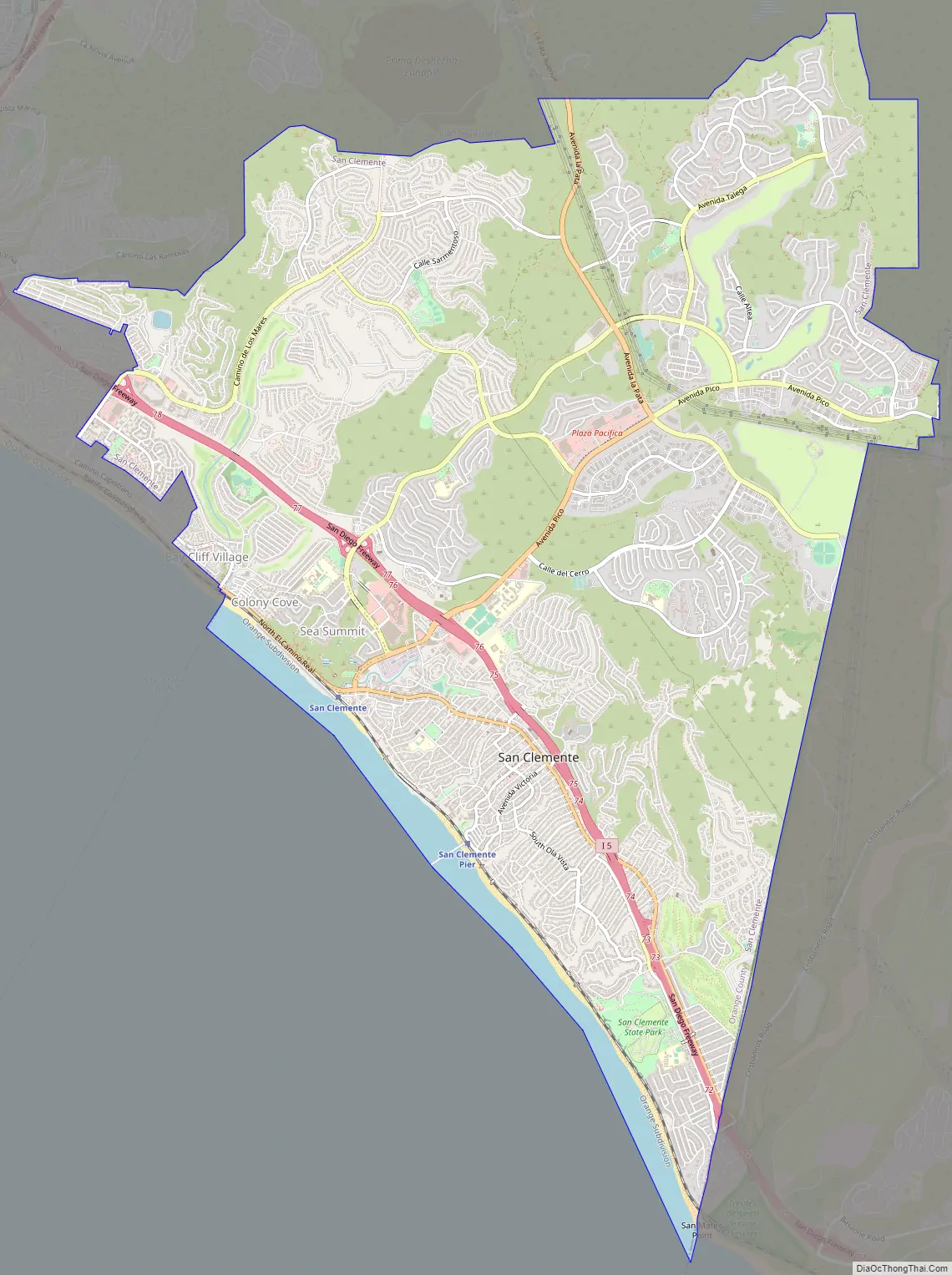
San Clemente Road Map
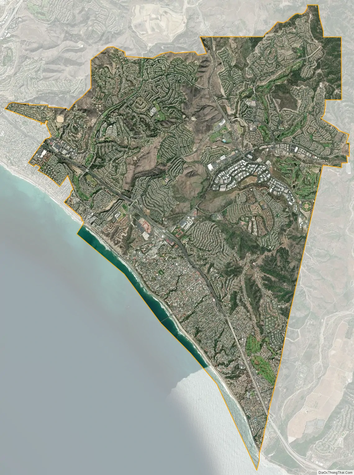
San Clemente city Satellite Map
Geography
San Clemente is located at 33°26′16″N 117°37′13″W / 33.43778°N 117.62028°W / 33.43778; -117.62028 (33.437828, −117.620397). To the south of town are Camp Pendleton and Trestles surf beach.
According to the United States Census Bureau, the city has an area of 19.5 square miles (51 km). 18.7 square miles (48 km) of it is land and 0.8 square miles (2.1 km) of it (3.89%) is water.
Climate
San Clemente has a Mediterranean climate where temperatures tend to average in the 70s °F (20s °C). The warmest month of the year is August, with an average high temperature of 79 °F (26 °C). The coldest month is December with an average high temperature of 64 °F (18 °C). The annual rainfall in 2010 was 10.5 inches (270 mm) and the annual days of sunshine 310.
See also
Map of California State and its subdivision:- Alameda
- Alpine
- Amador
- Butte
- Calaveras
- Colusa
- Contra Costa
- Del Norte
- El Dorado
- Fresno
- Glenn
- Humboldt
- Imperial
- Inyo
- Kern
- Kings
- Lake
- Lassen
- Los Angeles
- Madera
- Marin
- Mariposa
- Mendocino
- Merced
- Modoc
- Mono
- Monterey
- Napa
- Nevada
- Orange
- Placer
- Plumas
- Riverside
- Sacramento
- San Benito
- San Bernardino
- San Diego
- San Francisco
- San Joaquin
- San Luis Obispo
- San Mateo
- Santa Barbara
- Santa Clara
- Santa Cruz
- Shasta
- Sierra
- Siskiyou
- Solano
- Sonoma
- Stanislaus
- Sutter
- Tehama
- Trinity
- Tulare
- Tuolumne
- Ventura
- Yolo
- Yuba
- Alabama
- Alaska
- Arizona
- Arkansas
- California
- Colorado
- Connecticut
- Delaware
- District of Columbia
- Florida
- Georgia
- Hawaii
- Idaho
- Illinois
- Indiana
- Iowa
- Kansas
- Kentucky
- Louisiana
- Maine
- Maryland
- Massachusetts
- Michigan
- Minnesota
- Mississippi
- Missouri
- Montana
- Nebraska
- Nevada
- New Hampshire
- New Jersey
- New Mexico
- New York
- North Carolina
- North Dakota
- Ohio
- Oklahoma
- Oregon
- Pennsylvania
- Rhode Island
- South Carolina
- South Dakota
- Tennessee
- Texas
- Utah
- Vermont
- Virginia
- Washington
- West Virginia
- Wisconsin
- Wyoming


