San Pablo (Spanish for “Saint Paul”) is an enclave city in Contra Costa County, California, United States. The city of Richmond surrounds nearly the whole city. The population was 29,139 at the 2010 census. The current Mayor is Abel Pineda. Currently, the City Council consists of Abel Pineda, Patricia Ponce, Arturo Cruz, Elizabeth Pabon-Alvarado, and Rita Xavier. Ponce is the Vice Mayor, and Cruz, Pabon-Alvarado, and Xavier are Council Members. Dorothy Gantt is the city Clerk. Viviana Toledo is the city Treasurer.
| Name: | San Pablo city |
|---|---|
| LSAD Code: | 25 |
| LSAD Description: | city (suffix) |
| State: | California |
| County: | Contra Costa County |
| Incorporated: | April 27, 1948 |
| Elevation: | 52 ft (16 m) |
| Total Area: | 2.62 sq mi (6.80 km²) |
| Land Area: | 2.62 sq mi (6.80 km²) |
| Water Area: | 0.00 sq mi (0.00 km²) 0% |
| Total Population: | 29,139 |
| Population Density: | 11,810.21/sq mi (4,559.24/km²) |
| ZIP code: | 94806 |
| Area code: | 510, 341 |
| FIPS code: | 0668294 |
| Website: | sanpabloca.gov |
Online Interactive Map
Click on ![]() to view map in "full screen" mode.
to view map in "full screen" mode.
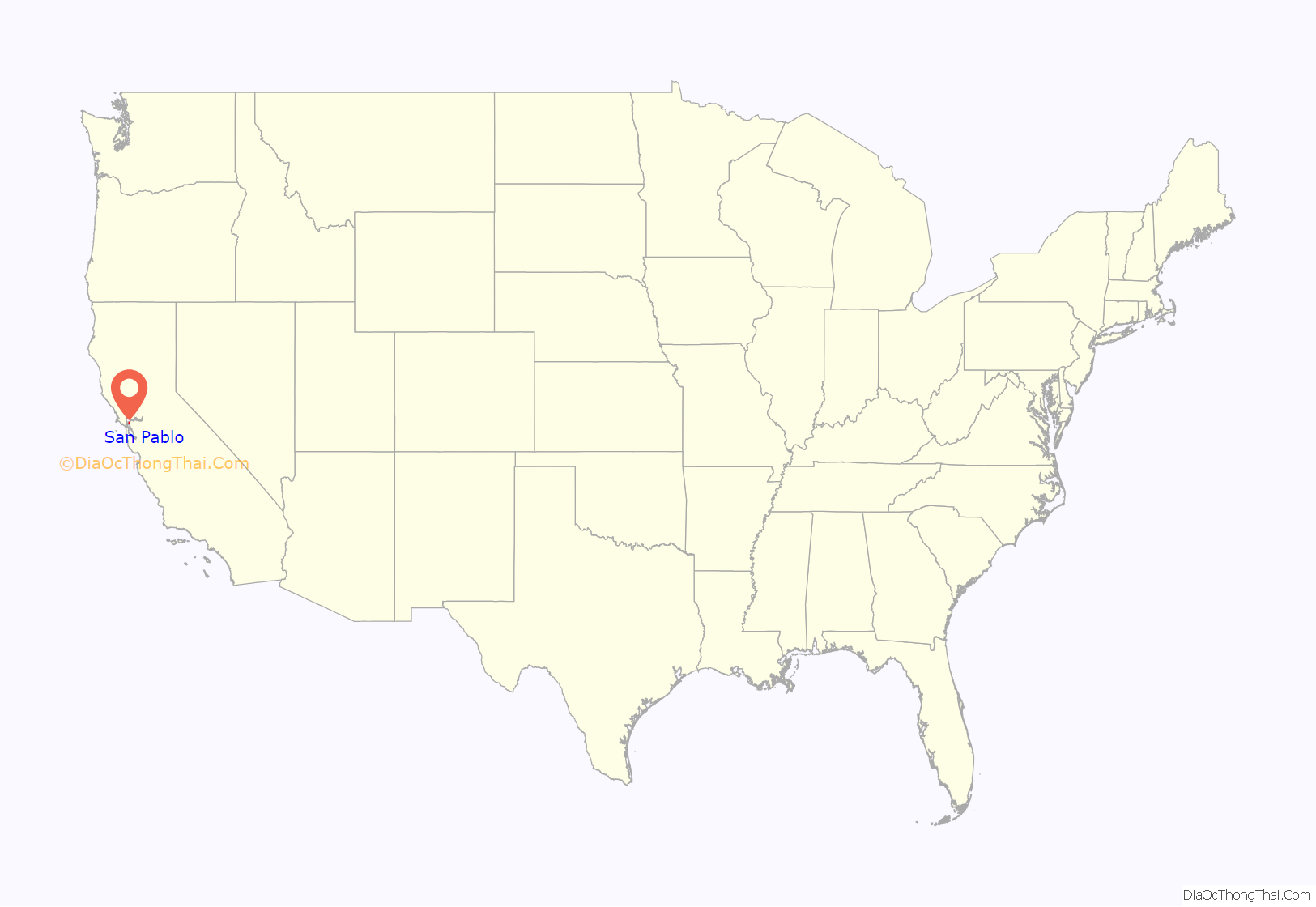
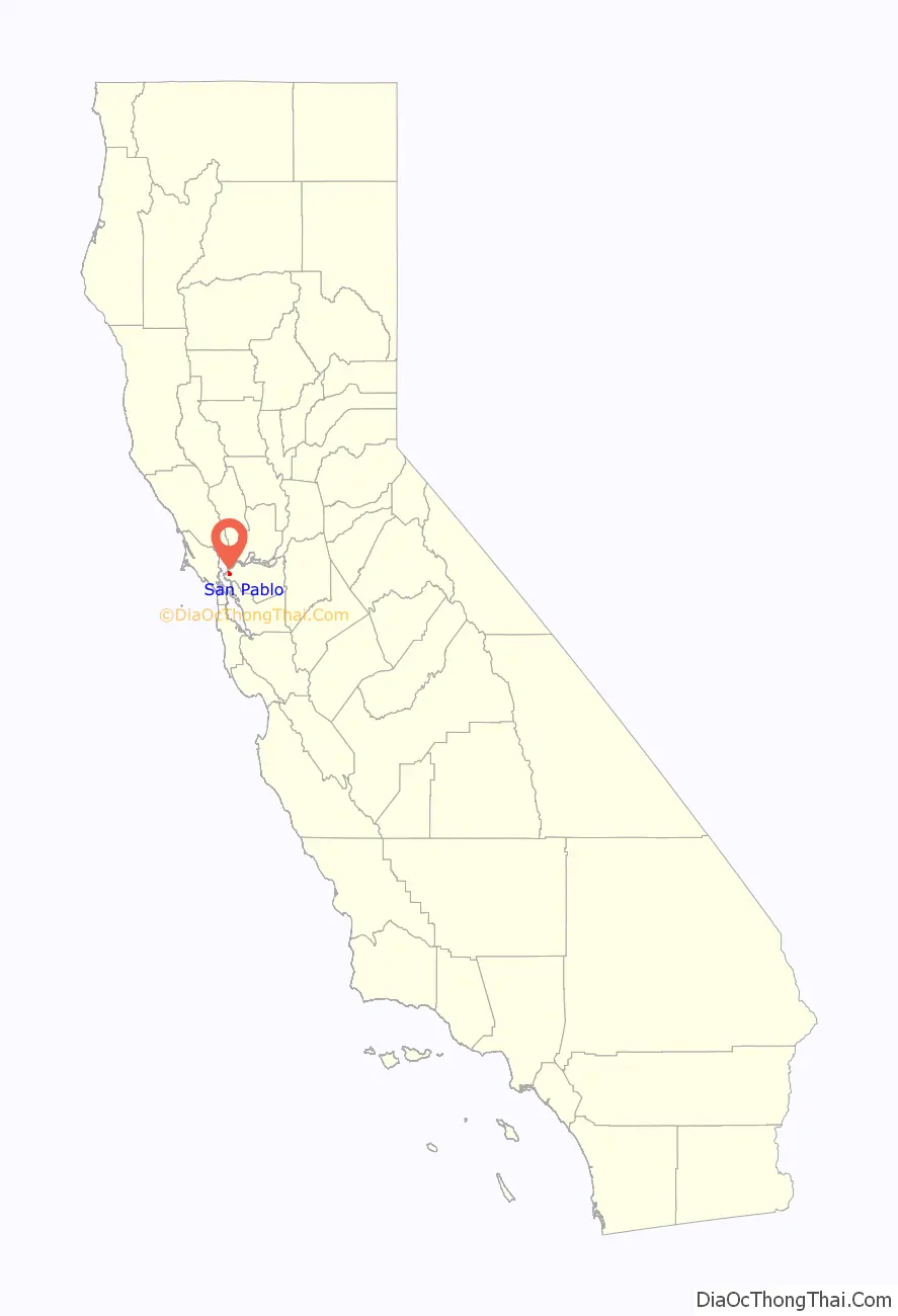
San Pablo location map. Where is San Pablo city?
History
The area in which today’s San Pablo is situated was originally occupied by the Cuchiyun band of the Ohlone indigenous people. The area was claimed for the king of Spain in the late 18th century and was granted for grazing purposes to the Mission Dolores located in today’s San Francisco. Upon Mexico‘s independence from Spain, church properties were secularized and in 1823, the area became part of a large grant to an ex-soldier stationed at the San Francisco Presidio, Francisco María Castro. The grant was given the name Rancho San Pablo, thus originating the name for today’s city as well as for one of the East Bay’s oldest principal roads, today’s San Pablo Avenue (known during the Spanish colonial era as El Camino Real de la Contra Costa).
A historic reproduction of the city’s Mexican era is designated as a California State Landmark (No.512): the Alvarado Adobe, originally constructed in 1842 by one of Francisco Castro’s sons, Jesús María Castro, for his mother, Gabriéla Berryessa de Castro. Upon Gabriéla’s death in 1851, it was inherited by her daughter, Martina Castro de Alvarado, wife of Juan Bautista Alvarado, who was Governor of California from 1836 to 1842. The Alvarado Adobe was demolished in the mid-20th century to make way for a motel. A reproduction was built later in the century which is located in the San Pablo Civic Center on the northwest corner of San Pablo Avenue and Church Lane. A single beam from the original structure is incorporated into the roof of the replacement structure, at the rear of the adobe facing the interior courtyard.
The first post office was established in 1854. The city incorporated in 1948.
Since the middle of the 20th century, College Center at El Portal has been the backbone of the community’s retail economy.
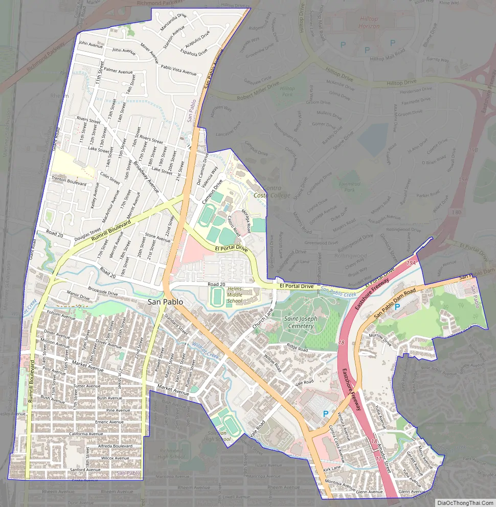
San Pablo Road Map
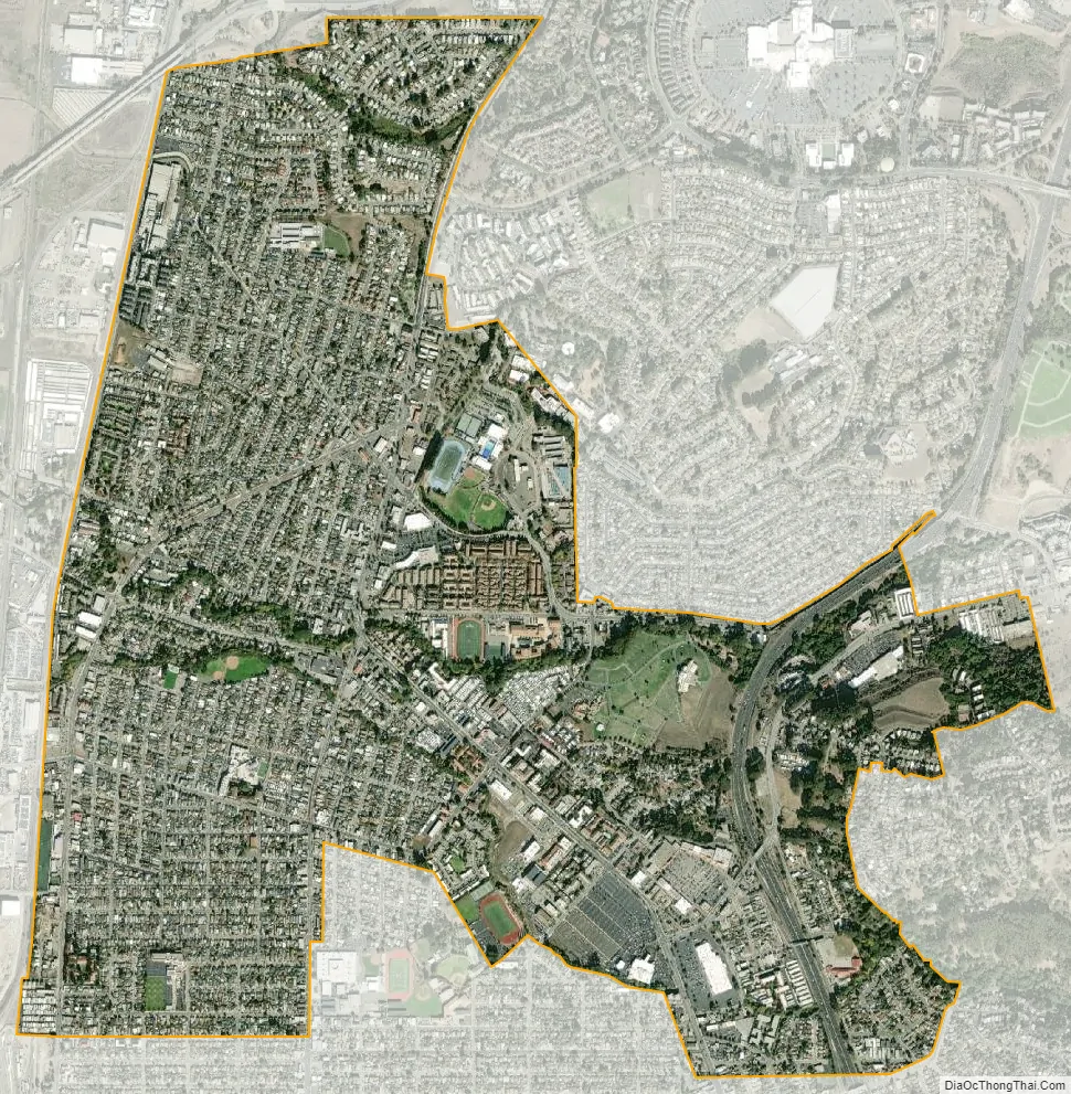
San Pablo city Satellite Map
Geography
According to the United States Census Bureau, the city has a total area of 2.6 square miles (6.7 km), all land.
San Pablo lies on a sedimentary plain between the northern end of the Berkeley Hills and San Pablo Bay, although the city limits do not extend to the bayshore. The city is traversed by two principal creeks, Wildcat Creek and San Pablo Creek, both of which originate in the ranges to its southeast. The minor Rheem Creek also runs through the city. It is also traversed along its northeast limits by the Hayward Fault, a major branch of the San Andreas Fault which lies to the west.
Interstate 80 (Eastshore Freeway) passes through San Pablo.
There are several communities to the north of (and separated from) the city, but which have San Pablo mailing addresses. These include the census areas of Tara Hills, Bayview, and Montalvin.
See also
Map of California State and its subdivision:- Alameda
- Alpine
- Amador
- Butte
- Calaveras
- Colusa
- Contra Costa
- Del Norte
- El Dorado
- Fresno
- Glenn
- Humboldt
- Imperial
- Inyo
- Kern
- Kings
- Lake
- Lassen
- Los Angeles
- Madera
- Marin
- Mariposa
- Mendocino
- Merced
- Modoc
- Mono
- Monterey
- Napa
- Nevada
- Orange
- Placer
- Plumas
- Riverside
- Sacramento
- San Benito
- San Bernardino
- San Diego
- San Francisco
- San Joaquin
- San Luis Obispo
- San Mateo
- Santa Barbara
- Santa Clara
- Santa Cruz
- Shasta
- Sierra
- Siskiyou
- Solano
- Sonoma
- Stanislaus
- Sutter
- Tehama
- Trinity
- Tulare
- Tuolumne
- Ventura
- Yolo
- Yuba
- Alabama
- Alaska
- Arizona
- Arkansas
- California
- Colorado
- Connecticut
- Delaware
- District of Columbia
- Florida
- Georgia
- Hawaii
- Idaho
- Illinois
- Indiana
- Iowa
- Kansas
- Kentucky
- Louisiana
- Maine
- Maryland
- Massachusetts
- Michigan
- Minnesota
- Mississippi
- Missouri
- Montana
- Nebraska
- Nevada
- New Hampshire
- New Jersey
- New Mexico
- New York
- North Carolina
- North Dakota
- Ohio
- Oklahoma
- Oregon
- Pennsylvania
- Rhode Island
- South Carolina
- South Dakota
- Tennessee
- Texas
- Utah
- Vermont
- Virginia
- Washington
- West Virginia
- Wisconsin
- Wyoming


