Santa Clara (/ˌsæntəˈklærə/; Spanish for “Saint Clare”) is a city in Santa Clara County, California. The city’s population was 127,647 at the 2020 census, making it the eighth-most populous city in the Bay Area. Located in the southern Bay Area, the city was founded by the Spanish in 1777 with the establishment of Mission Santa Clara de Asís under the leadership of Junípero Serra.
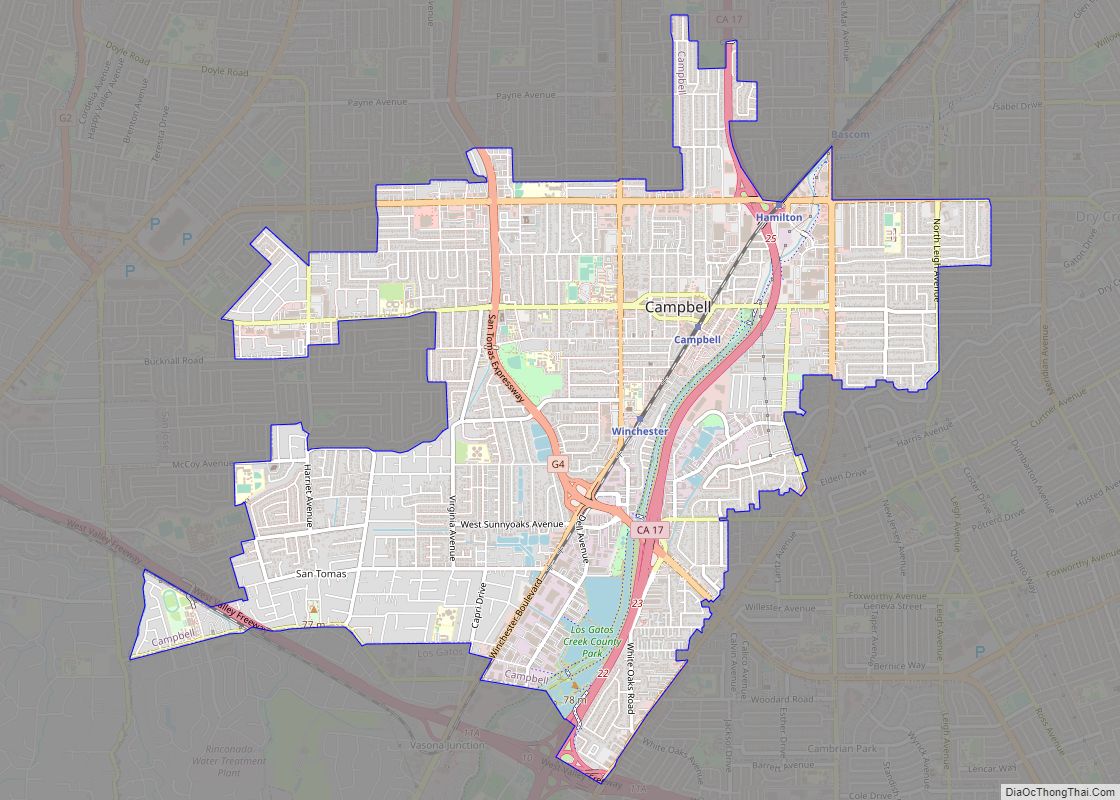
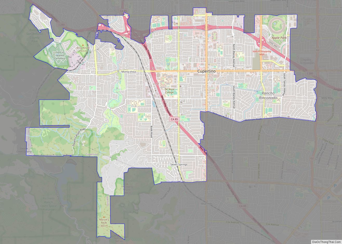
Santa Clara is located in the center of Silicon Valley and is home to the headquarters of companies such as Intel, Advanced Micro Devices, and Nvidia. It is also home to Santa Clara University, the oldest university in California, and Levi’s Stadium, the home of the National Football League’s San Francisco 49ers, and Cedar Fair’s California’s Great America Park. Santa Clara is bordered by San Jose on all sides, except for Sunnyvale and Cupertino to the west.
| Name: | Santa Clara city |
|---|---|
| LSAD Code: | 25 |
| LSAD Description: | city (suffix) |
| State: | California |
| County: | Santa Clara County |
| Incorporated: | July 5, 1852 |
| Elevation: | 72 ft (22 m) |
| Total Area: | 18.28 sq mi (47.34 km²) |
| Land Area: | 18.28 sq mi (47.34 km²) |
| Total Population: | 127,647 |
| Population Density: | 6,982/sq mi (2,697/km²) |
| ZIP code: | 95050, 95051, 95054 |
| FIPS code: | 0669084 |
| Website: | santaclaraca.gov |
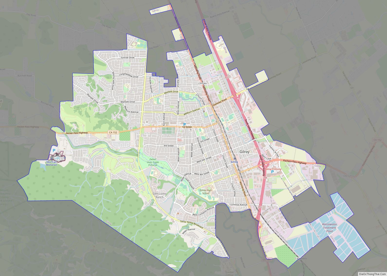
Online Interactive Map
Click on ![]() to view map in "full screen" mode.
to view map in "full screen" mode.
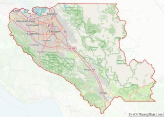
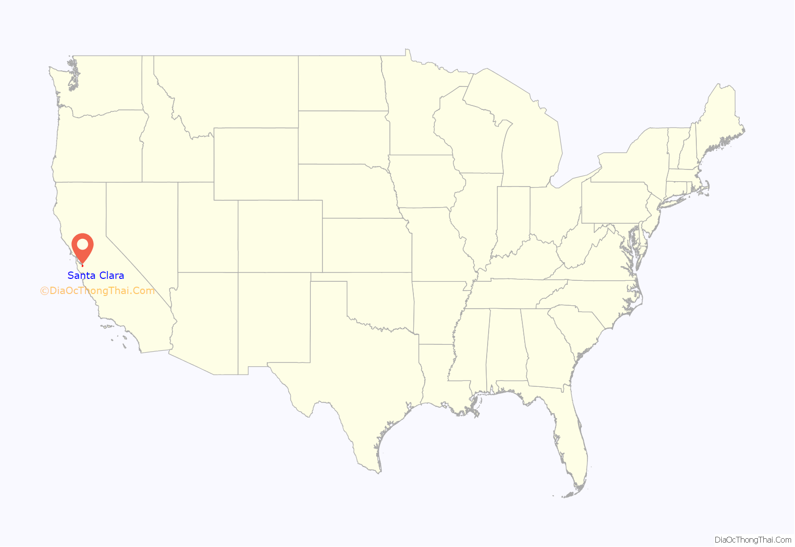
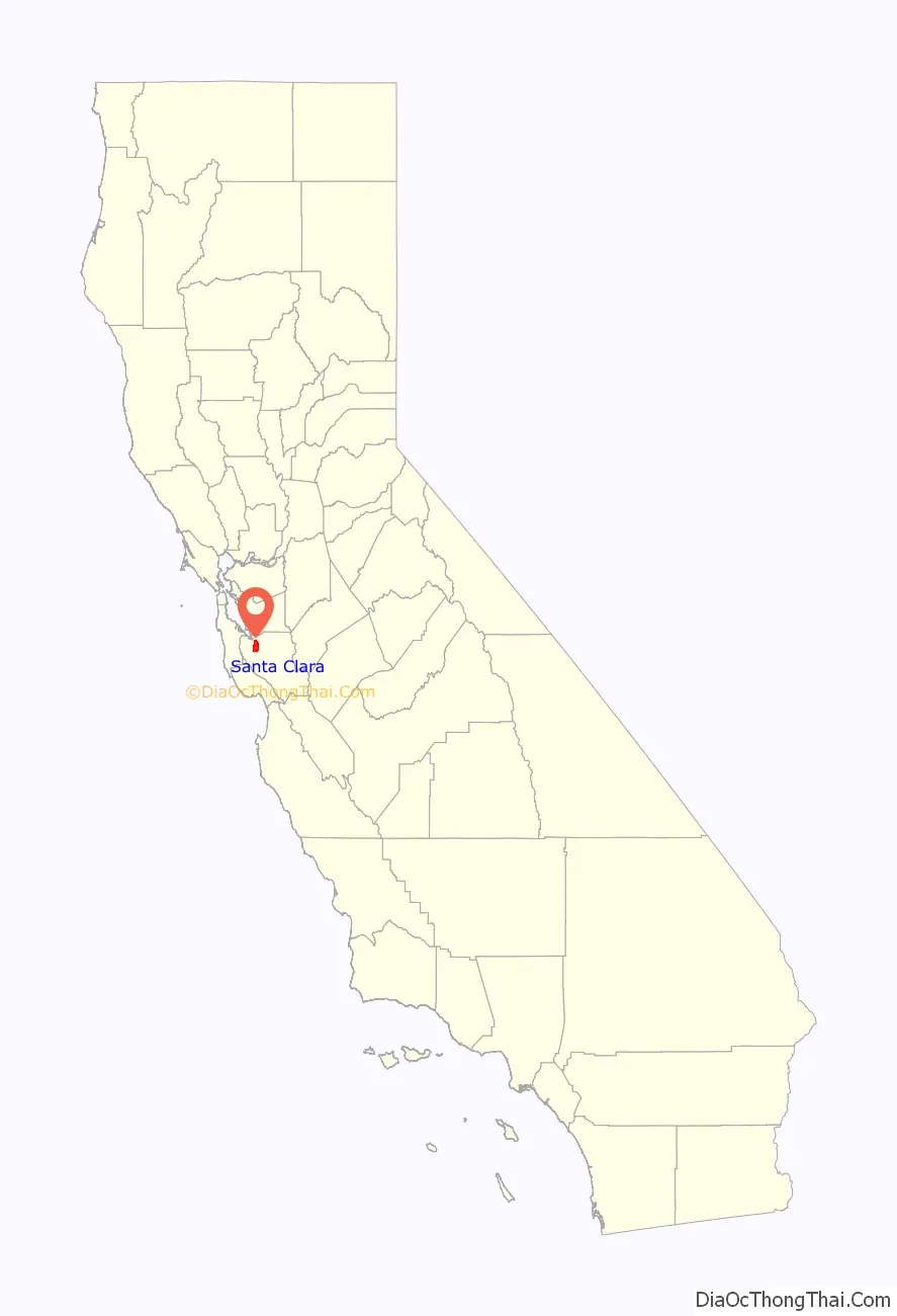
Santa Clara location map. Where is Santa Clara city?
History
Prior to the arrival of Europeans in the 18th century, the Tamien tribe of the Ohlone nation of Indigenous Californians had inhabited the area for several millenium.
Spanish period
The first European to visit the valley was José Francisco Ortega in 1769. The Spanish began to colonize California with 21 missions and the Mission Santa Clara de Asis was founded in 1777.
Mexican period
The Battle of Santa Clara, one of the last battles of the Conquest of California, was fought between a contingent of Californios, led by Francisco Sánchez, against the invading American forces.
American period
In 1851, Santa Clara College was established on the grounds of the original Mission. In 1852, Santa Clara was incorporated as a town; it became state-chartered by 1862.
For the next century, the economy centered on agriculture since orchards and vegetables were thriving in the fertile soil. By the beginning of the 20th century, the population had reached 5,000 and stayed about the same for many years.
In 1905, the first public high-altitude flights by humans were made over Santa Clara in gliders designed by John J. Montgomery. The semiconductor industry, which sprouted around 1960, changed the city and surrounding Valley of Heart’s Delight; little of its agricultural past remains.
Santa Clara’s first medical hospital was built in 1963. This structure, on Kiely Boulevard, was replaced in 2007 with a new Kaiser Permanente medical center located on Lawrence Expressway at Homestead Road.
Santa Clara was also home to a major mental health facility, Agnews State Hospital. According to the National Park Service, more than 100 persons were killed at this site in the 1906 earthquake. The site is the former home to Sun Microsystems and is listed in the National Register of Historic Places.
In 1963, Santa Clara City Council voted to knock down the eight-block grid of Downtown Santa Clara, in order to receive federal funding for urban renewal. Since 2017, there has been a grassroots movement to rebuild Santa Clara’s historic downtown.
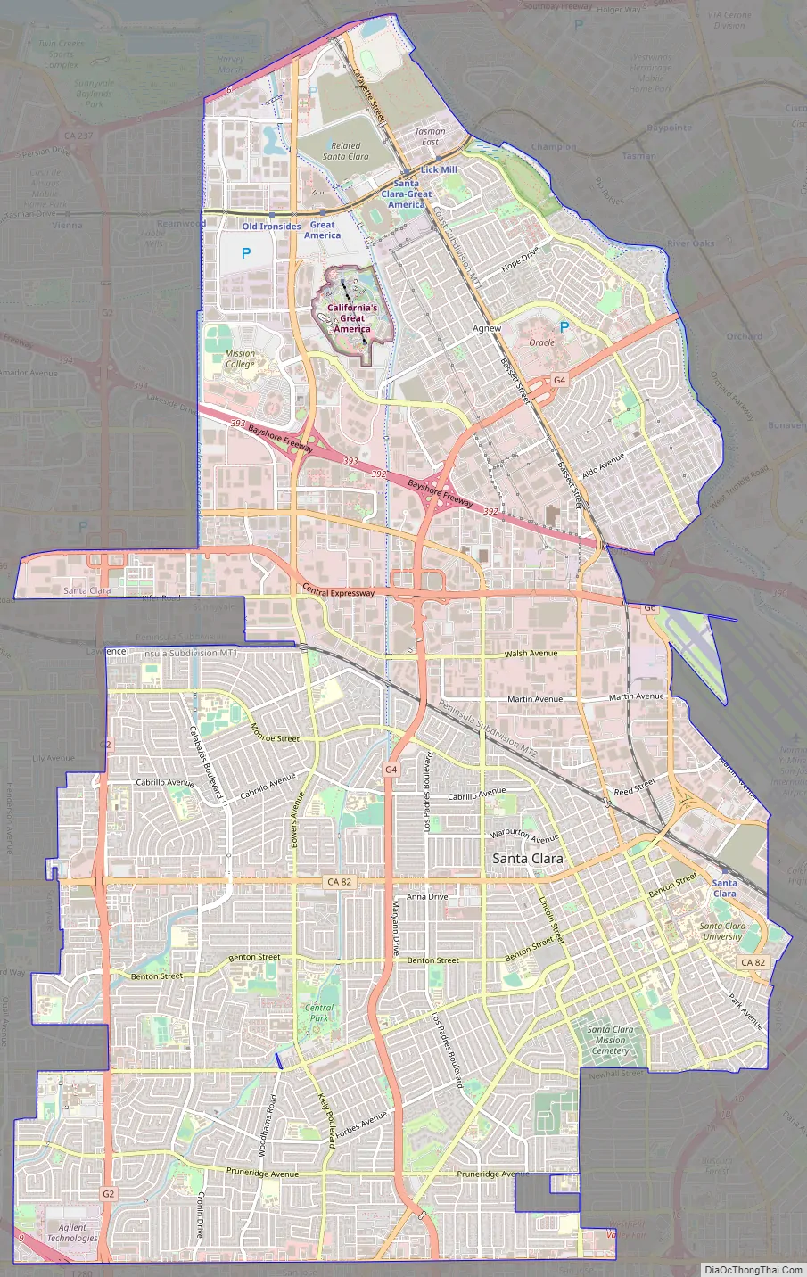
Santa Clara Road Map
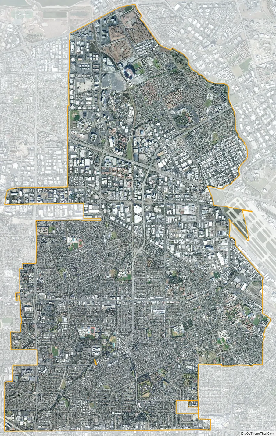
Santa Clara city Satellite Map
Geography
Santa Clara is drained by three seasonal creeks, all of which empty into the southern portion of San Francisco Bay; these creeks are San Tomas Aquino Creek, Saratoga Creek, and Calabazas Creek.
There are some significant biological resources within the city including habitat for the burrowing owl, a species of special concern in California due to reduction in habitat from urban development during the latter 20th century. This owl uses burrows created by ground squirrels and prefers generally level grasslands and even disturbed areas. Coyotes have also become active in the area in recent years.
According to the U.S. Census Bureau, the city covers an area of 18.4 square miles (48 km), all of it land.
Climate
The average daily temperatures in July range from 82 °F (28 °C) to 53 °F (12 °C). Winters are mild, with the mean daily temperatures in January ranging from 58 °F (14 °C) to 38 °F (3 °C). Most of the annual rainfall comes in the winter months; the summer months are generally rainless.
See also
Map of California State and its subdivision:- Alameda
- Alpine
- Amador
- Butte
- Calaveras
- Colusa
- Contra Costa
- Del Norte
- El Dorado
- Fresno
- Glenn
- Humboldt
- Imperial
- Inyo
- Kern
- Kings
- Lake
- Lassen
- Los Angeles
- Madera
- Marin
- Mariposa
- Mendocino
- Merced
- Modoc
- Mono
- Monterey
- Napa
- Nevada
- Orange
- Placer
- Plumas
- Riverside
- Sacramento
- San Benito
- San Bernardino
- San Diego
- San Francisco
- San Joaquin
- San Luis Obispo
- San Mateo
- Santa Barbara
- Santa Clara
- Santa Cruz
- Shasta
- Sierra
- Siskiyou
- Solano
- Sonoma
- Stanislaus
- Sutter
- Tehama
- Trinity
- Tulare
- Tuolumne
- Ventura
- Yolo
- Yuba
- Alabama
- Alaska
- Arizona
- Arkansas
- California
- Colorado
- Connecticut
- Delaware
- District of Columbia
- Florida
- Georgia
- Hawaii
- Idaho
- Illinois
- Indiana
- Iowa
- Kansas
- Kentucky
- Louisiana
- Maine
- Maryland
- Massachusetts
- Michigan
- Minnesota
- Mississippi
- Missouri
- Montana
- Nebraska
- Nevada
- New Hampshire
- New Jersey
- New Mexico
- New York
- North Carolina
- North Dakota
- Ohio
- Oklahoma
- Oregon
- Pennsylvania
- Rhode Island
- South Carolina
- South Dakota
- Tennessee
- Texas
- Utah
- Vermont
- Virginia
- Washington
- West Virginia
- Wisconsin
- Wyoming