Santa Fe Springs (Santa Fe, Spanish for “Holy Faith”) is a city in Los Angeles County, California, United States. It is one of the Gateway Cities of southeast Los Angeles County. The population was 16,223 at the 2010 census, down from 17,438 at the 2000 census.
| Name: | Santa Fe Springs city |
|---|---|
| LSAD Code: | 25 |
| LSAD Description: | city (suffix) |
| State: | California |
| County: | Los Angeles County |
| Incorporated: | May 15, 1957 |
| Elevation: | 135 ft (41 m) |
| Total Area: | 8.91 sq mi (23.08 km²) |
| Land Area: | 8.87 sq mi (22.98 km²) |
| Water Area: | 0.04 sq mi (0.10 km²) 0.45% |
| Total Population: | 16,223 |
| Population Density: | 1,986.93/sq mi (767.15/km²) |
| Area code: | 562 |
| FIPS code: | 0669154 |
| GNISfeature ID: | 1661404 |
| Website: | www.santafesprings.org |
Online Interactive Map
Click on ![]() to view map in "full screen" mode.
to view map in "full screen" mode.
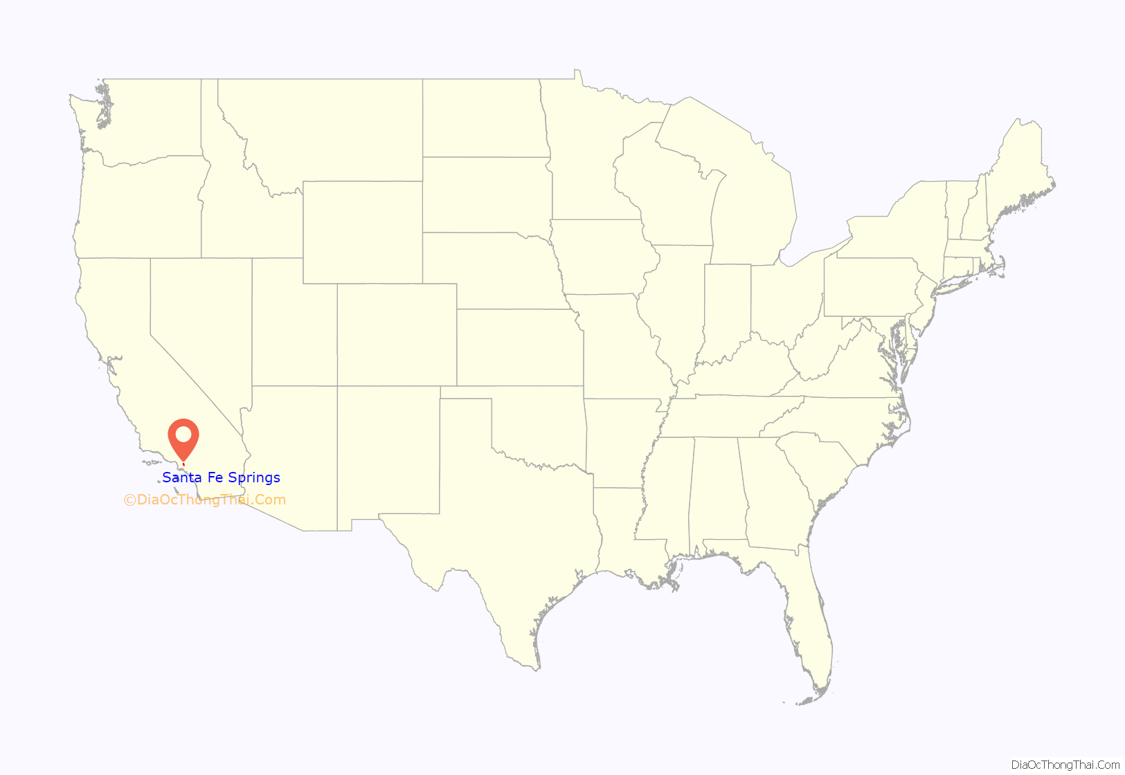
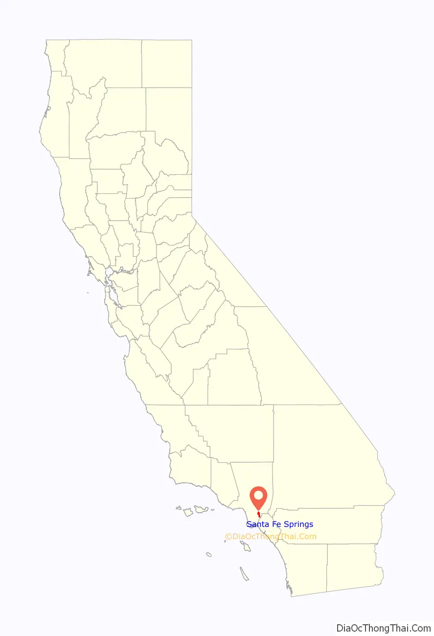
Santa Fe Springs location map. Where is Santa Fe Springs city?
History
Junípero Serra had started some missions in this area, especially the San Gabriel mission. By 1806, the natives, now called Gabrieleños than Sejats, were forced into labor to build the mission.
Corporal José Manuel Nieto, then 65 year old, petitioned Pedro Fages, the Governor, for a little land. In 1789, Fagas received official permission for the grant. Nieto’s was one of the largest at 300,000 acres (1,200 km) , from the Pacific Ocean to the Puente Hills. This became known as the “Rancho La Zanja”, to which he moved with his wife Teresa and his son, Juan José. This area soon became a large cattle empire, and later would be the Santa Fe Springs area.
Dr. James E. Fulton came to the area as an agent for the San Gertrudes Land Company in 1871. He found, when drilling a well, a sulfur spring, and developed it by 1874 into a health spa with a 2-story sanitarium-hotel called Fulton’s Sulfur Wells in the area around what today would be Heritage Park. It included a windmill to draw water into the pool for bathers. In the beginning he had about 400 patients there annually. Later, in 1886, the Atchison, Topeka & Santa Fe Railway purchased land from Fulton to run the train line from Los Angeles to San Diego, changing the town since now there was rail transportation.
In 1907, the Union Oil Company of California began drilling near the intersection of Norwalk Blvd. and Telegraph Road, locally known as “Four Corners,” with the spudding in of the Meyer No. 1 well. That well, and a subsequent one, failed. In 1921 the Union-Bell well blew in as a 2,500-barrel gusher and set off an oil rush by major oil companies and fly-by-night producers. Within a year the Santa Fe Springs oil field was considered one of the richest pools in petroleum history. Santa Fe Springs became a promoters’ paradise. Prospective investors were bused into the field, served a free lunch in circus tents, and told stories about the fortunes made in oil. In 1923 the state legislature limited the amount of stock that could be sold in a well.
In the 1920s the field produced as much as 345,000 barrels daily, exceeding production at Signal Hill and Huntington Beach. Production slowed as the decade went on, and by 1928 the Wilshire Oil Company was drilling in deep sand levels. Production levels dropped each year from then on, but by 1938 the field had yielded a total of more than 440,000,000 barrels of oil.
Santa Fe Springs is the birthplace of the Shelby Cobra. In 1962 Carroll Shelby set up shop in Dean Moon’s speed shop in Santa Fe Springs. Shelby had AC Cars of Surrey, England ship cars without a motor or drive train to the Santa Fe shop. Shelby shoe-horned a 260-cubic-inch V8 into the tiny, lightweight British roadster and the Cobra was born: a British sports car with American hot rod power.
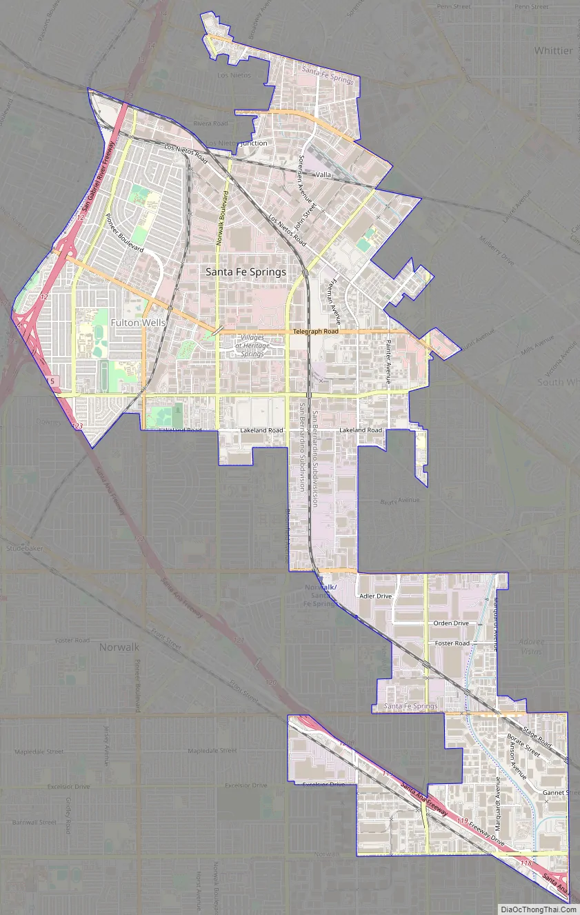
Santa Fe Springs Road Map
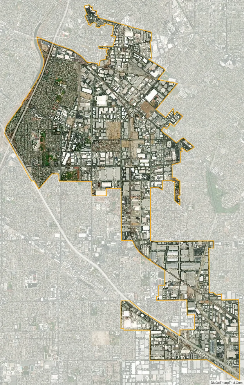
Santa Fe Springs city Satellite Map
Geography
Santa Fe Springs is located at 33°56′15″N 118°04′02″W / 33.937443°N 118.067155°W / 33.937443; -118.067155.
According to the United States Census Bureau, the city has a total area of 8.9 square miles (23 km). 8.9 square miles (23 km) of it is land and 0.04 square miles (0.10 km) of it (0.45%) is water.
It is bordered by the unincorporated West Whittier-Los Nietos to the north, Pico Rivera to the northwest, Downey to the west, Norwalk to the southwest, Cerritos to the south, La Mirada and the unincorporated South Whittier to the east, and Whittier to the northeast.
See also
Map of California State and its subdivision:- Alameda
- Alpine
- Amador
- Butte
- Calaveras
- Colusa
- Contra Costa
- Del Norte
- El Dorado
- Fresno
- Glenn
- Humboldt
- Imperial
- Inyo
- Kern
- Kings
- Lake
- Lassen
- Los Angeles
- Madera
- Marin
- Mariposa
- Mendocino
- Merced
- Modoc
- Mono
- Monterey
- Napa
- Nevada
- Orange
- Placer
- Plumas
- Riverside
- Sacramento
- San Benito
- San Bernardino
- San Diego
- San Francisco
- San Joaquin
- San Luis Obispo
- San Mateo
- Santa Barbara
- Santa Clara
- Santa Cruz
- Shasta
- Sierra
- Siskiyou
- Solano
- Sonoma
- Stanislaus
- Sutter
- Tehama
- Trinity
- Tulare
- Tuolumne
- Ventura
- Yolo
- Yuba
- Alabama
- Alaska
- Arizona
- Arkansas
- California
- Colorado
- Connecticut
- Delaware
- District of Columbia
- Florida
- Georgia
- Hawaii
- Idaho
- Illinois
- Indiana
- Iowa
- Kansas
- Kentucky
- Louisiana
- Maine
- Maryland
- Massachusetts
- Michigan
- Minnesota
- Mississippi
- Missouri
- Montana
- Nebraska
- Nevada
- New Hampshire
- New Jersey
- New Mexico
- New York
- North Carolina
- North Dakota
- Ohio
- Oklahoma
- Oregon
- Pennsylvania
- Rhode Island
- South Carolina
- South Dakota
- Tennessee
- Texas
- Utah
- Vermont
- Virginia
- Washington
- West Virginia
- Wisconsin
- Wyoming


