Signal Hill is a city 2.2 sq mi (5.7 km) in area in Los Angeles County, California. Located high on a hill, the city is an enclave completely surrounded by the city of Long Beach. Signal Hill was incorporated on April 22, 1924, roughly three years after oil was discovered there. As of the 2010 census, the city population was 11,016.
| Name: | Signal Hill city |
|---|---|
| LSAD Code: | 25 |
| LSAD Description: | city (suffix) |
| State: | California |
| County: | Los Angeles County |
| Incorporated: | April 22, 1924 |
| Elevation: | 148 ft (45 m) |
| Total Area: | 2.19 sq mi (5.67 km²) |
| Land Area: | 2.19 sq mi (5.67 km²) |
| Water Area: | 0.00 sq mi (0.00 km²) 0.08% |
| Total Population: | 11,016 |
| Population Density: | 5,217.45/sq mi (2,014.52/km²) |
| ZIP code: | 90755 |
| Area code: | 562 |
| FIPS code: | 0671876 |
| Website: | www.cityofsignalhill.org |
Online Interactive Map
Click on ![]() to view map in "full screen" mode.
to view map in "full screen" mode.
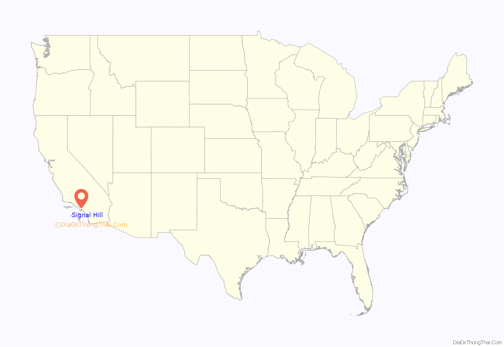
Signal Hill location map. Where is Signal Hill city?

History
The hill that the city is named after is 365 feet (110 m) above the surrounding town of Long Beach. Because of this height, it was used by the local Tongva Indians for signal fires that could be seen throughout the surrounding area and even out to Catalina Island, 26 miles (42 km) away.
After the Spanish claimed Alta California (“Upper California,” or what is now the state of California), Signal Hill eventually became part of the first large rancho grant to be allotted under Spanish rule in Alta California. The Rancho San Pedro (Dominguez Rancho) land grant exceeded 74,000 acres (300 km) as granted to a soldier, Juan Jose Dominguez, who accompanied Junipero Serra, by Governor Fages through authority of King Carlos III of Spain in 1784.
Between 1913 and 1923 an early California movie studio, Balboa Amusement Producing Company (also known as Balboa Studios), was located in Long Beach and used 11 acres (45,000 m) on Signal Hill for outdoor locations. Buster Keaton and Fatty Arbuckle were two of the Balboa Studios actors who had films shot on Signal Hill.
Before oil was discovered in Signal Hill, there were large homes built on the hill itself, and in the lower elevations was an agricultural area where fruits, vegetables, and flowers were grown.
Discovery of oil
Signal Hill changed forever when oil was discovered. The hill would soon become part of the Long Beach Oil Field, one of the most productive oil fields in the world. On June 23, 1921, Royal Dutch Shell’s Alamitos #1 well erupted. The gas pressure was so great the gusher rose 114 ft (35 m) in the air. Soon Signal Hill was covered with over 100 oil derricks, and because of its prickly appearance at a distance became known as “Porcupine Hill”. Today, many of the original oil wells and pumpjacks are gone, although Signal Hill is still a productive oil field and several wells and derricks still remain. Signal Hill is now a mix of residential and commercial areas.
The city was incorporated on April 22, 1924. Among the reasons for incorporation was avoiding annexation by Long Beach with its zoning restrictions and per-barrel oil tax. Proving to be a progressive city, Signal Hill elected as its first mayor, Mrs. Jessie Nelson. She was California’s first female mayor.
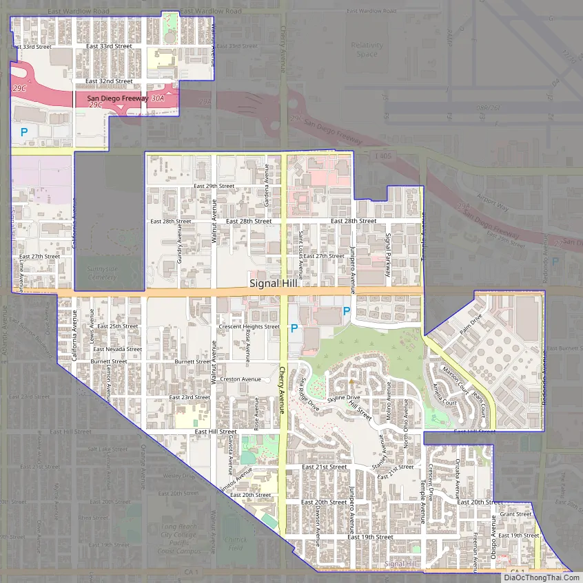
Signal Hill Road Map
Signal Hill city Satellite Map

Geography
According to the United States Census Bureau, the city has a total area of 2.2 square miles (5.7 km), virtually all land. The city is surrounded on all sides by the city of Long Beach, California.
Signal Hill lies in the 562 area code. The city once shared three different postal ZIP codes with the city of Long Beach but in July 2002, the city of Signal Hill received its own ZIP code, 90755.
Climate
According to the Köppen Climate Classification system, Signal Hill has a semi-arid climate, abbreviated “BSk” on climate maps.
See also
Map of California State and its subdivision:- Alameda
- Alpine
- Amador
- Butte
- Calaveras
- Colusa
- Contra Costa
- Del Norte
- El Dorado
- Fresno
- Glenn
- Humboldt
- Imperial
- Inyo
- Kern
- Kings
- Lake
- Lassen
- Los Angeles
- Madera
- Marin
- Mariposa
- Mendocino
- Merced
- Modoc
- Mono
- Monterey
- Napa
- Nevada
- Orange
- Placer
- Plumas
- Riverside
- Sacramento
- San Benito
- San Bernardino
- San Diego
- San Francisco
- San Joaquin
- San Luis Obispo
- San Mateo
- Santa Barbara
- Santa Clara
- Santa Cruz
- Shasta
- Sierra
- Siskiyou
- Solano
- Sonoma
- Stanislaus
- Sutter
- Tehama
- Trinity
- Tulare
- Tuolumne
- Ventura
- Yolo
- Yuba
- Alabama
- Alaska
- Arizona
- Arkansas
- California
- Colorado
- Connecticut
- Delaware
- District of Columbia
- Florida
- Georgia
- Hawaii
- Idaho
- Illinois
- Indiana
- Iowa
- Kansas
- Kentucky
- Louisiana
- Maine
- Maryland
- Massachusetts
- Michigan
- Minnesota
- Mississippi
- Missouri
- Montana
- Nebraska
- Nevada
- New Hampshire
- New Jersey
- New Mexico
- New York
- North Carolina
- North Dakota
- Ohio
- Oklahoma
- Oregon
- Pennsylvania
- Rhode Island
- South Carolina
- South Dakota
- Tennessee
- Texas
- Utah
- Vermont
- Virginia
- Washington
- West Virginia
- Wisconsin
- Wyoming


