Saratoga is a city in Santa Clara County, California. Located in Silicon Valley, in the southern Bay Area, its population was 31,051 at the 2020 census. Saratoga is an affluent residential community, known for its wineries, restaurants, and attractions like Villa Montalvo, Mountain Winery, and Hakone Gardens.
| Name: | Saratoga city |
|---|---|
| LSAD Code: | 25 |
| LSAD Description: | city (suffix) |
| State: | California |
| County: | Santa Clara County |
| Incorporated: | October 22, 1956 |
| Elevation: | 423 ft (129 m) |
| Total Area: | 12.78 sq mi (33.10 km²) |
| Land Area: | 12.78 sq mi (33.10 km²) |
| Water Area: | 0.00 sq mi (0.00 km²) 0% |
| Total Population: | 31,051 |
| Population Density: | 2,400/sq mi (940/km²) |
| ZIP code: | 95070–95071 |
| FIPS code: | 0670280 |
| Website: | www.saratoga.ca.us |
Online Interactive Map
Click on ![]() to view map in "full screen" mode.
to view map in "full screen" mode.
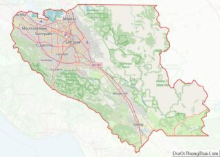
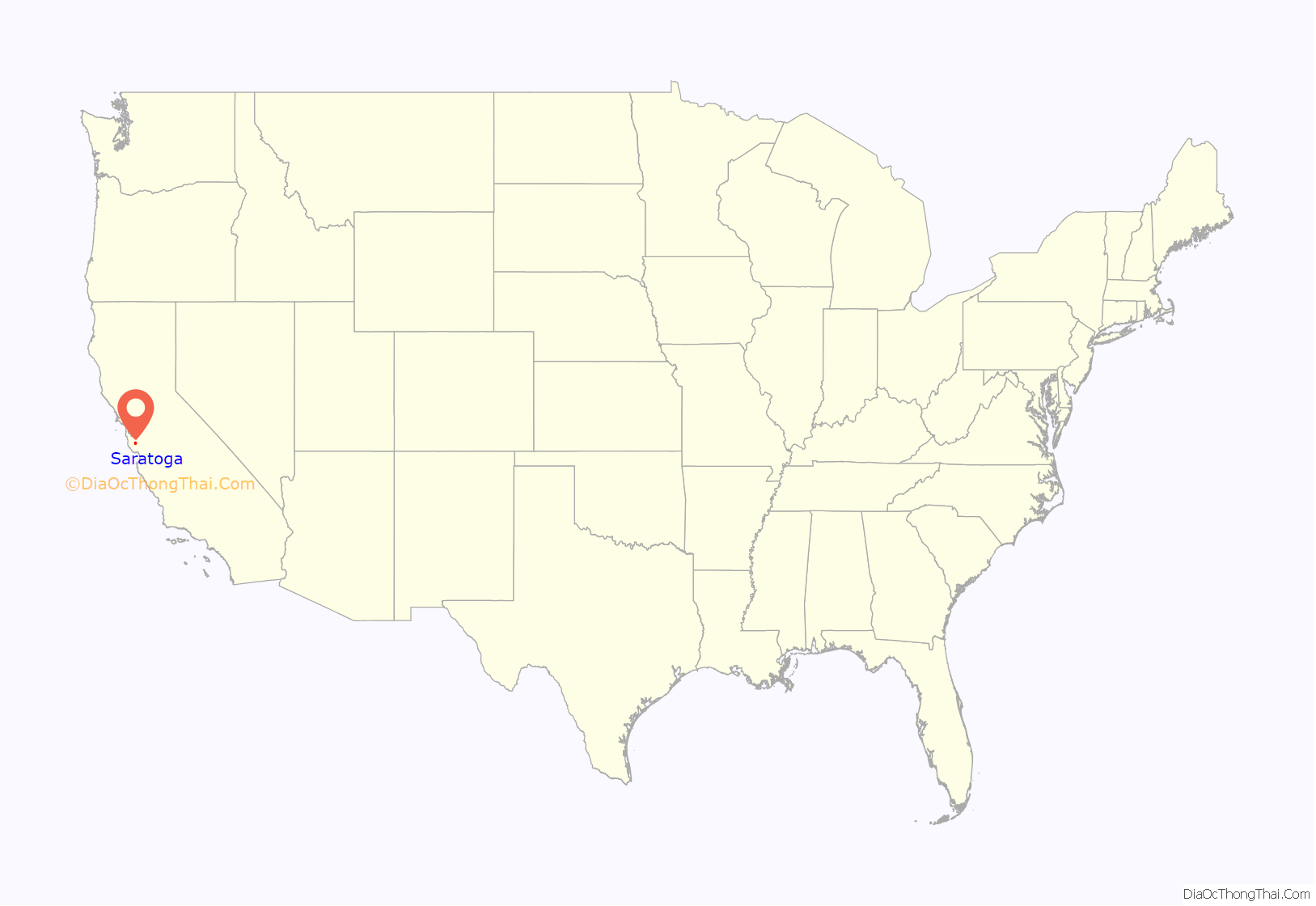
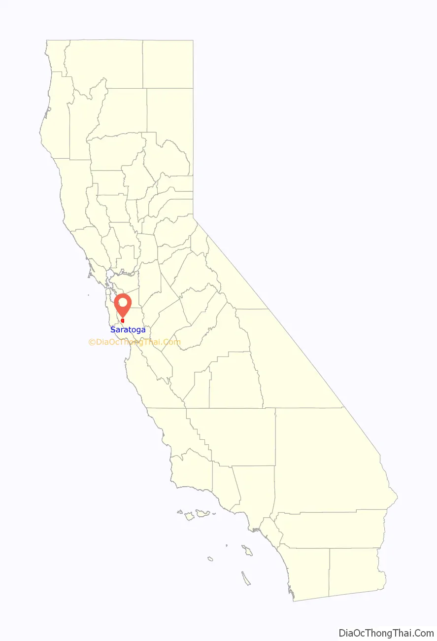
Saratoga location map. Where is Saratoga city?
History
The area comprising Saratoga was earlier inhabited by the Ohlone Native Americans. In 1847, European settlers created a settlement at what is now Saratoga when William Campbell (father of Benjamin Campbell, the founder of nearby Campbell, California), constructed a sawmill about 2.5 miles (4.0 km) southeast of the present downtown area. An early map noted the area as Campbell’s Gap.
In 1851, Martin McCarthy, who had leased the mill, built a toll road down to the Santa Clara Valley, and founded what is now Saratoga as McCarthysville. The toll gate was located at the present-day intersection of Big Basin Way and 3rd St., giving the town its first widely used name: Toll Gate. In 1867 the town received a post office under the name of McCarthysville.
Early residents, who moved to Saratoga in 1881, were Mary Brown (1816–1884), widow of the abolitionist John Brown, her daughters Sarah and Ellen, and the husband of the latter, James Fablinger. All of them are buried in the Madronia Cemetery.
The town soon industrialized with the building of a furniture factory, grist mill, tannery, and paper factory. To commemorate this newfound productivity, the town was renamed again in 1863 as Bank Mills. In the 1850s, Jud Caldwell discovered springs which were called Pacific Congress Springs because the water had a mineral content similar to Congress Springs in Saratoga Springs, New York. In 1865 the town received its final name, Saratoga, after the city in New York. At the same time a resort hotel called Congress Hall was constructed at the springs, named after the famous resort Congress Hall at Saratoga Springs, New York. California’s Congress Hall attracted tourists to the area until it burned down in 1903. These events would eventually lead to Saratoga being listed as a California Historical Landmark in 1950.
Saratoga became agricultural, as did much of the rest of the valley; a few vineyards and orchards from this period remain today. After World War II the town quickly became urbanized, and it incorporated in 1956 mostly to avoid being annexed by San Jose. A slogan during the campaign to incorporate the city of Saratoga was “Keep it rural,” according to historian Willys I. Peck. Today the city serves as a bedroom community for upper-middle class and upper class Silicon Valley tech workers and executives.
Saratoga drew notoriety for the suicide of Audrie Pott, a 15-year-old Saratoga High School student, September 2012. The three teenagers charged with sexually assaulting Pott pleaded guilty and served time in juvenile hall for the sexual assault. Saratoga High School is depicted in Steven Spielberg’s 2022 film The Fabelmans.
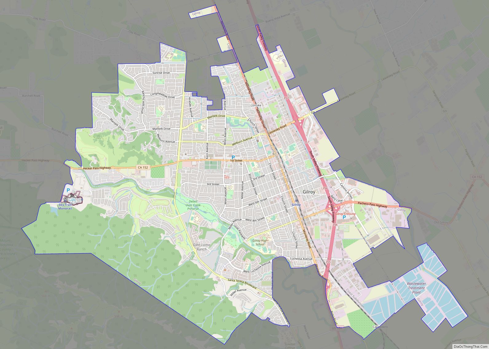
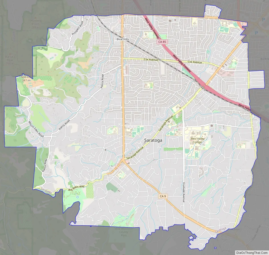
Saratoga Road Map
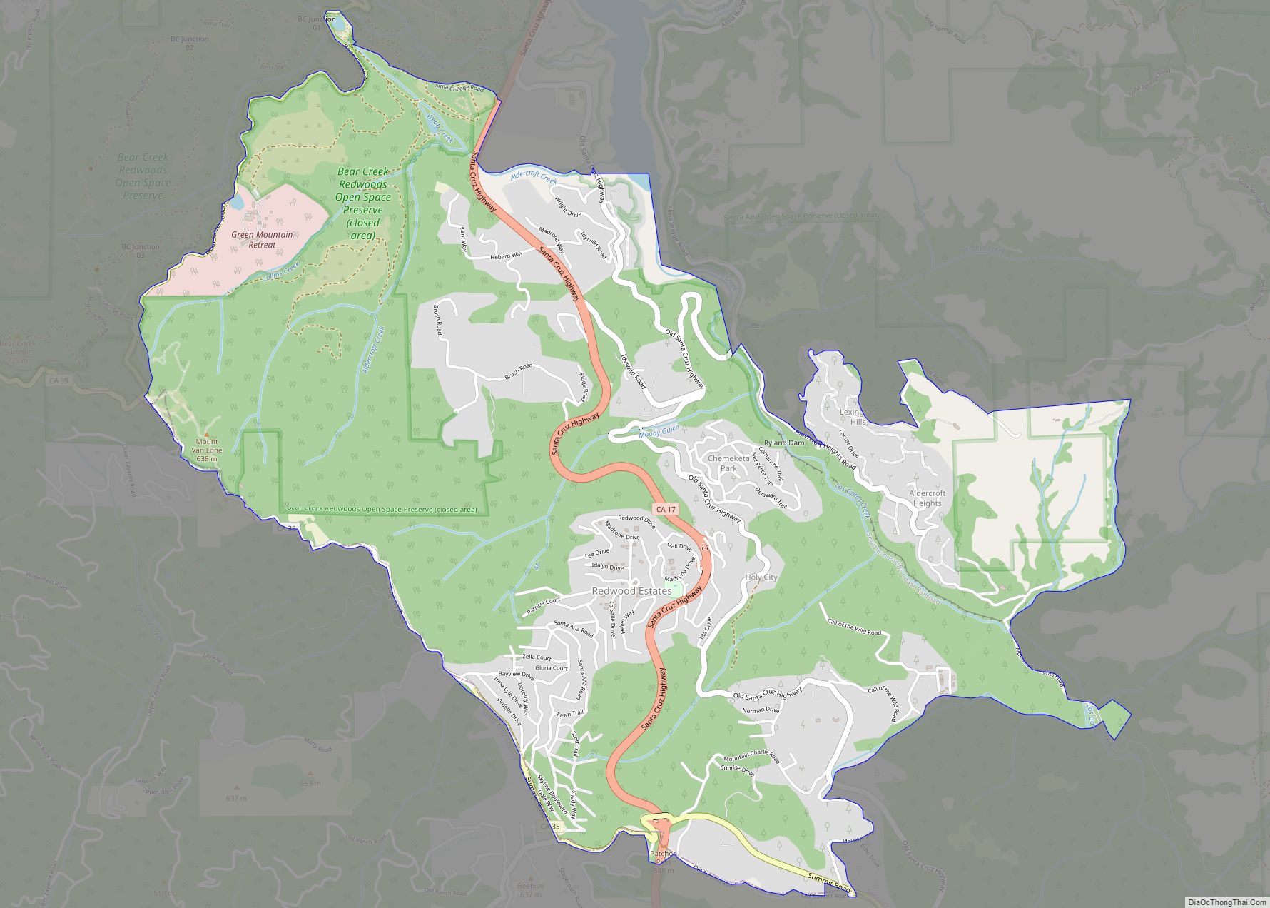
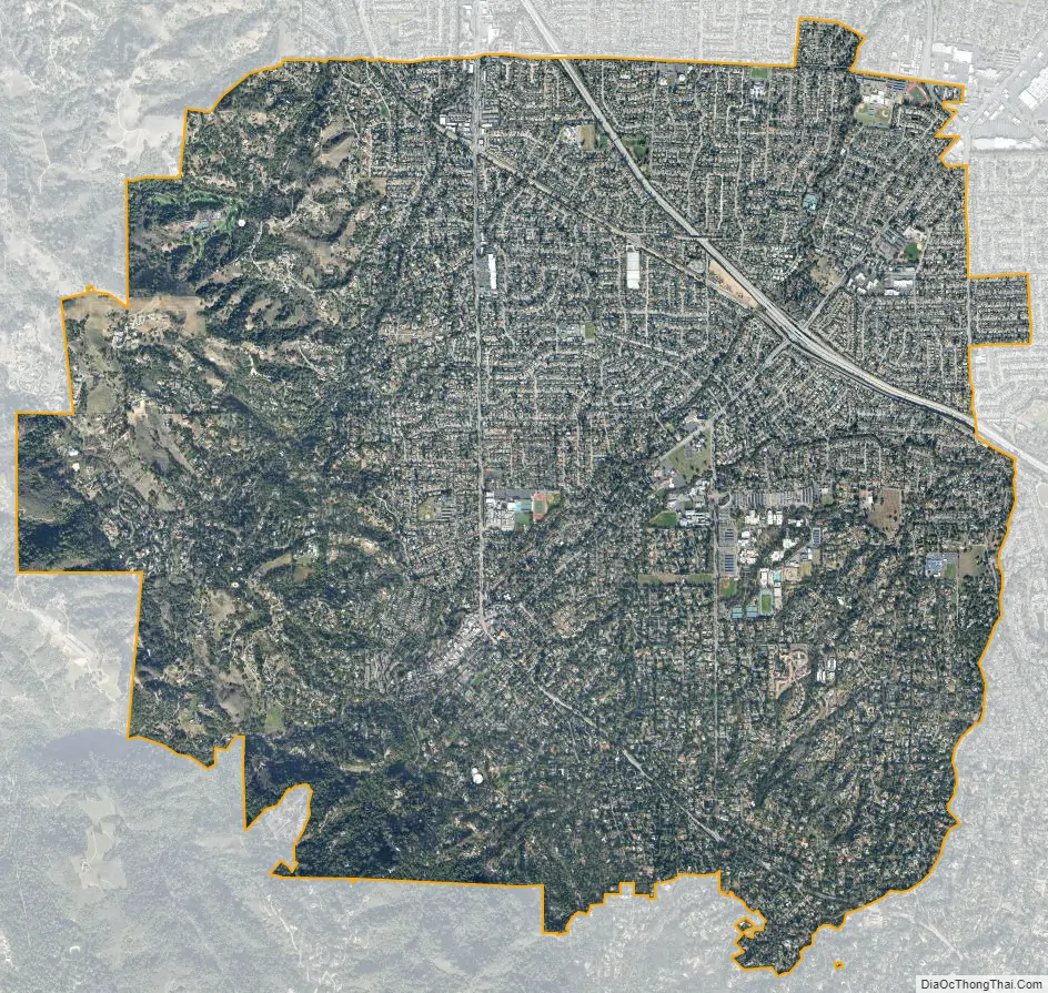
Saratoga city Satellite Map
Geography
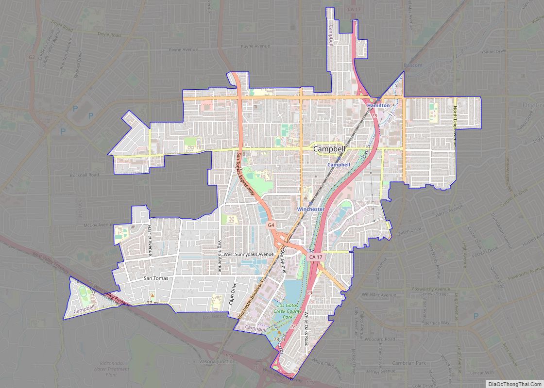
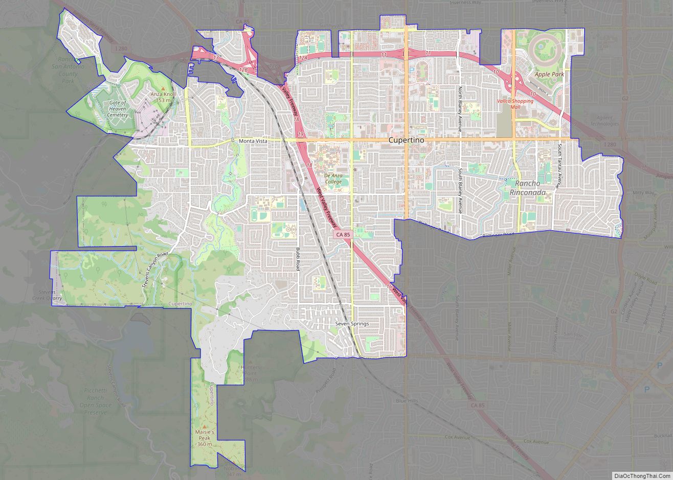
Saratoga is bordered by Cupertino and San Jose to the north, a small portion of Campbell and Los Gatos to the east, and Monte Sereno to the southeast. Saratoga is located at 37°16′21″N 122°01′10″W / 37.272443°N 122.019538°W / 37.272443; -122.019538. According to the United States Census Bureau, the city has a total area of 12.4 square miles (32 km), all of it land. Within its borders, Saratoga includes lush redwood forests, foothills suitable for wine grapes and sunny valley floor once covered with prune and apricot orchards, now with suburban homes, schools and churches.
Neighborhoods in Saratoga include Brookview and Pride’s Crossing in the north part of the city, Blue Hills and Greenbrier in the northwest area, and Congress Springs in the southwestern corner of Saratoga. The Golden Triangle, a name invented by real estate agents, is an area bounded by Saratoga Avenue, Saratoga-Sunnyvale Road and Cox Avenue. The Golden Triangle consists mostly of four-bedroom ranch homes (with values ranging from between $1 and $3 million) on quarter acre lots that are gradually being replaced by Mediterranean custom designs. Northeast of the Golden Triangle is a neighborhood known as Saratoga Woods, a small community located behind Prospect High School north of Cox. Bellgrove Circle is a popular neighborhood located next to highway 85. The land of Bellgrove Circle, once used as a vineyard, was previously owned by Paul Masson Winery and is east of Saratoga Avenue and north of Rt 85. Kentfield is south of Rt 85 and also east of Saratoga Avenue. Parker Ranch is a very affluent neighborhood with 1-acre (4,000 m) minimum lots, west of Saratoga-Sunnyvale Road and up into the hills. The downtown area along Big Basin Way is known as the Village.
See also
Map of California State and its subdivision:- Alameda
- Alpine
- Amador
- Butte
- Calaveras
- Colusa
- Contra Costa
- Del Norte
- El Dorado
- Fresno
- Glenn
- Humboldt
- Imperial
- Inyo
- Kern
- Kings
- Lake
- Lassen
- Los Angeles
- Madera
- Marin
- Mariposa
- Mendocino
- Merced
- Modoc
- Mono
- Monterey
- Napa
- Nevada
- Orange
- Placer
- Plumas
- Riverside
- Sacramento
- San Benito
- San Bernardino
- San Diego
- San Francisco
- San Joaquin
- San Luis Obispo
- San Mateo
- Santa Barbara
- Santa Clara
- Santa Cruz
- Shasta
- Sierra
- Siskiyou
- Solano
- Sonoma
- Stanislaus
- Sutter
- Tehama
- Trinity
- Tulare
- Tuolumne
- Ventura
- Yolo
- Yuba
- Alabama
- Alaska
- Arizona
- Arkansas
- California
- Colorado
- Connecticut
- Delaware
- District of Columbia
- Florida
- Georgia
- Hawaii
- Idaho
- Illinois
- Indiana
- Iowa
- Kansas
- Kentucky
- Louisiana
- Maine
- Maryland
- Massachusetts
- Michigan
- Minnesota
- Mississippi
- Missouri
- Montana
- Nebraska
- Nevada
- New Hampshire
- New Jersey
- New Mexico
- New York
- North Carolina
- North Dakota
- Ohio
- Oklahoma
- Oregon
- Pennsylvania
- Rhode Island
- South Carolina
- South Dakota
- Tennessee
- Texas
- Utah
- Vermont
- Virginia
- Washington
- West Virginia
- Wisconsin
- Wyoming