Snelling (formerly Snelling’s Ranch) is an unincorporated community and census-designated place (CDP) in Merced County, California, United States. It is located on the north bank of the Merced River 17 miles (27 km) north of Merced, at an elevation of 256 feet (78 m). The population was 238 at the 2020 census.
| Name: | Snelling CDP |
|---|---|
| LSAD Code: | 57 |
| LSAD Description: | CDP (suffix) |
| State: | California |
| County: | Merced County |
| Elevation: | 256 ft (78 m) |
| Total Area: | 0.545 sq mi (1.41 km²) |
| Land Area: | 0.540 sq mi (1.40 km²) |
| Water Area: | 0.005 sq mi (0 km²) 0% |
| Total Population: | 238 |
| Population Density: | 440.7/sq mi (170.2/km²) |
| ZIP code: | 95369 |
| Area code: | 209 |
| FIPS code: | 0672408 |
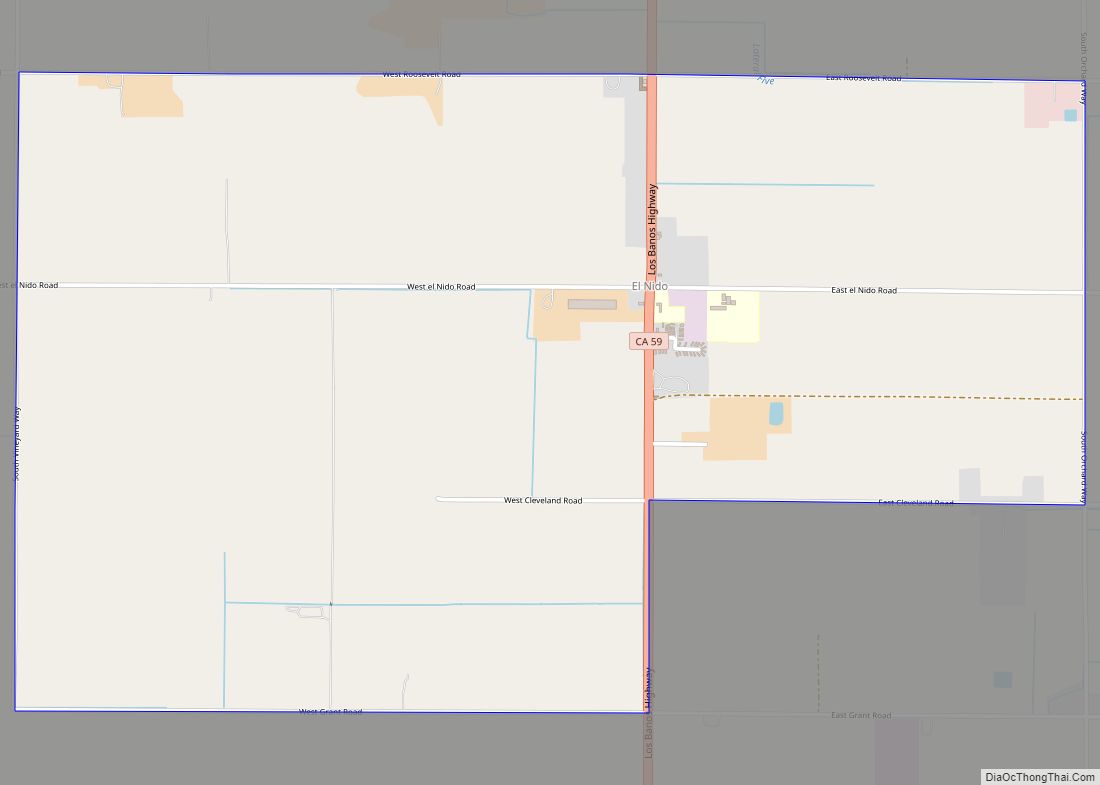
Online Interactive Map
Click on ![]() to view map in "full screen" mode.
to view map in "full screen" mode.
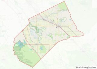
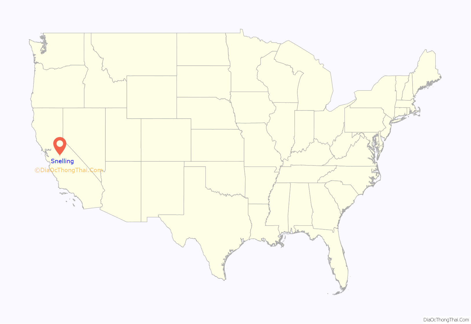
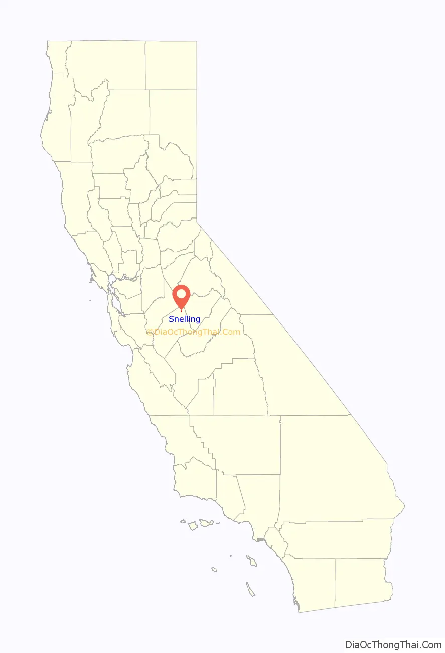
Snelling location map. Where is Snelling CDP?
History
The “Snelling Ranch” post office opened in 1853, was closed for a time during 1861, and changed its name to “Snelling” in 1870. The name is from the Snelling family that operated a way station at the place beginning in 1851.
Snelling’s zip code is 95369 and its area code is 209.
Snelling was the county seat of Merced County from 1857 to 1872. The courthouse constructed in 1857 continued to serve as a justice court until the 1990s. The two-story building remains standing today and is a rare surviving example of a simple early California courthouse.
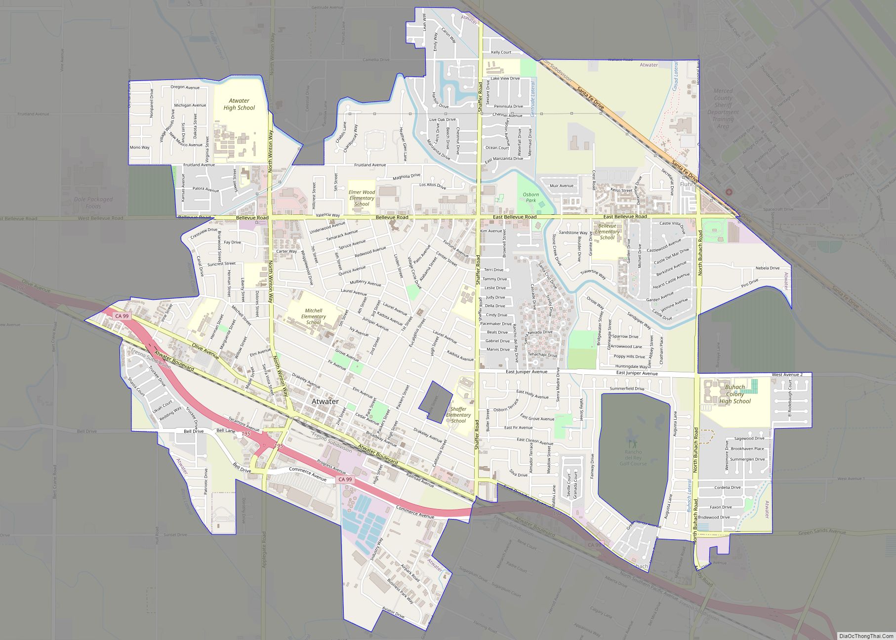
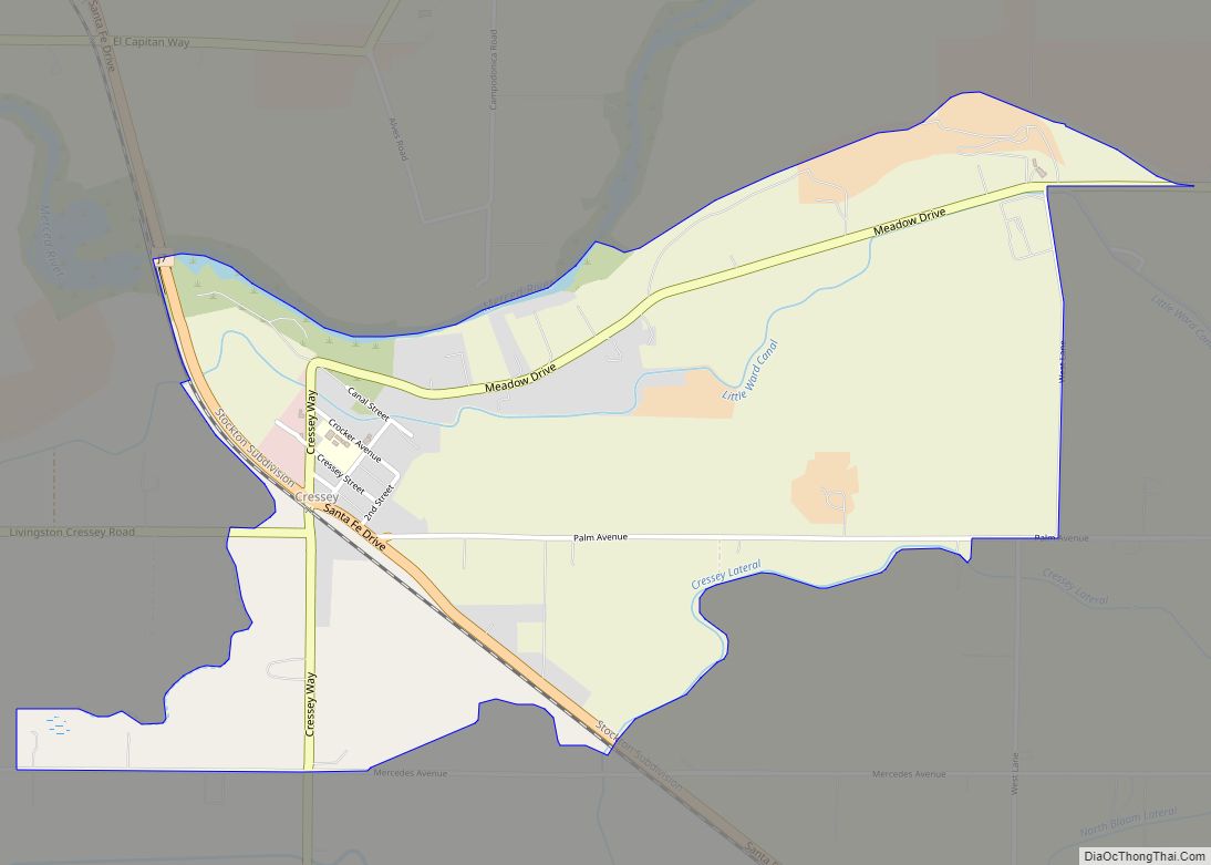
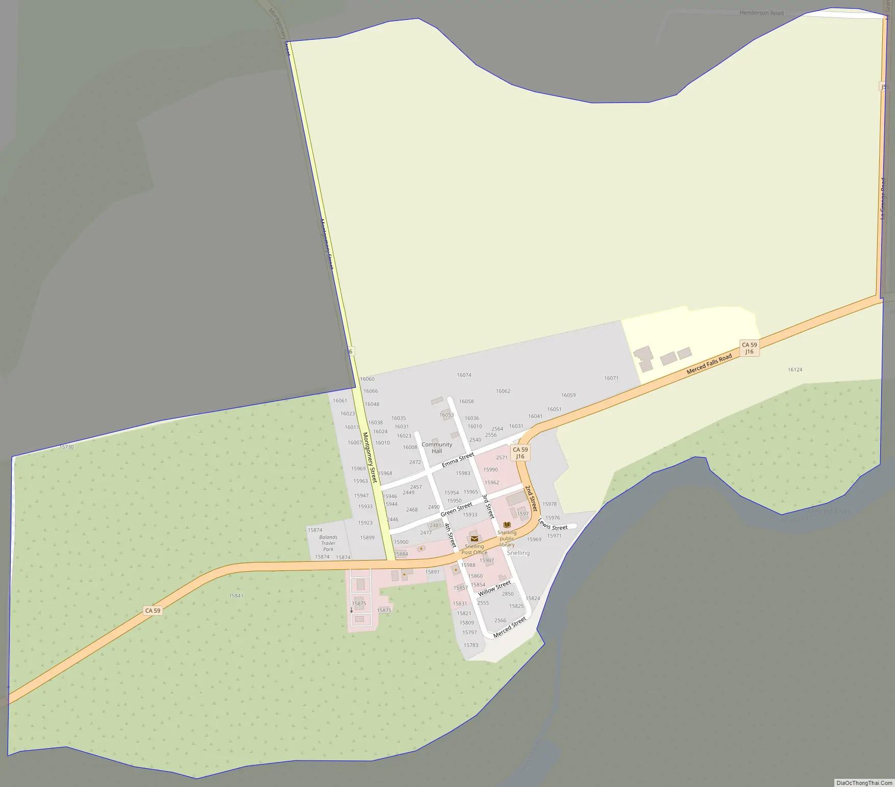
Snelling Road Map
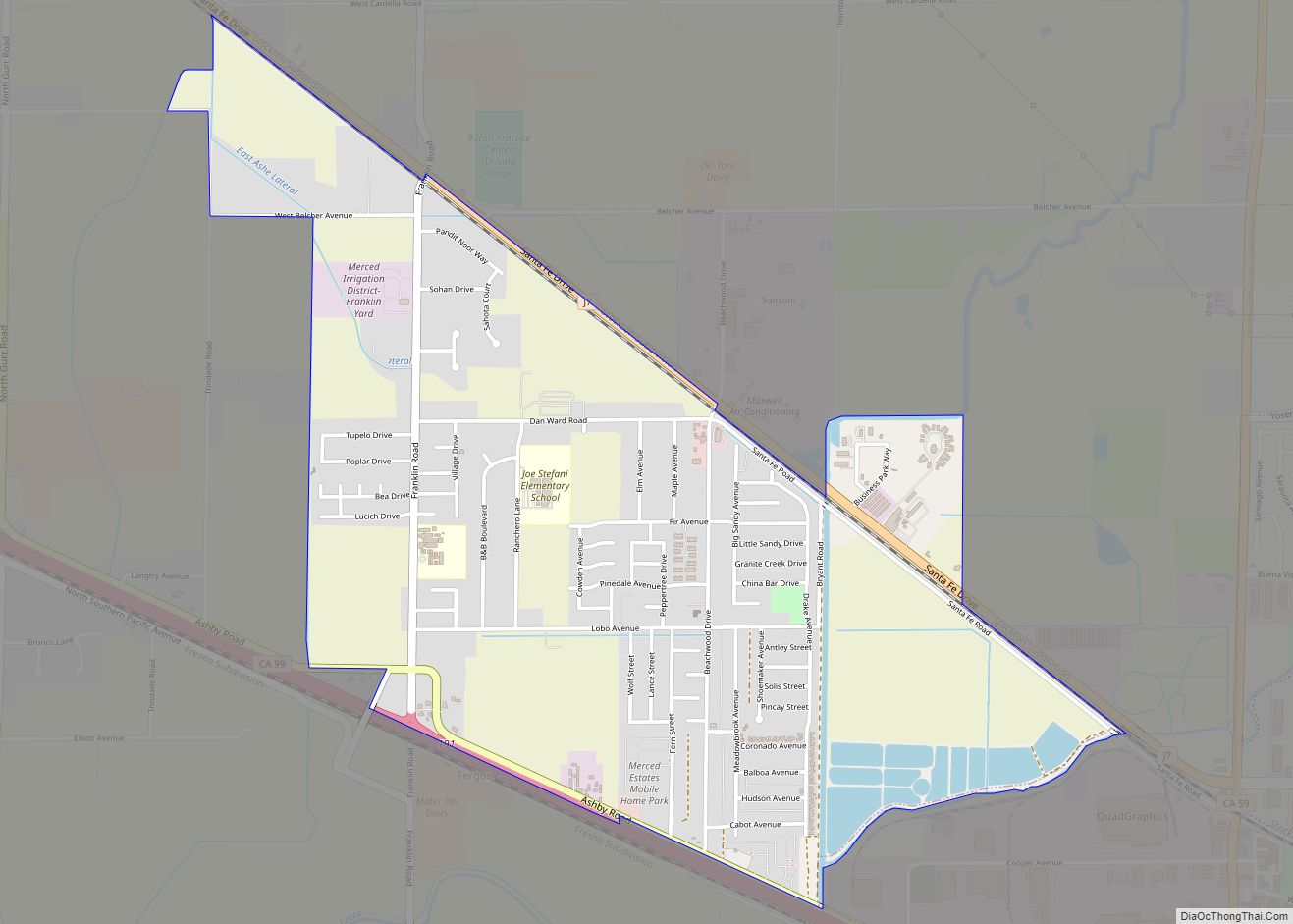
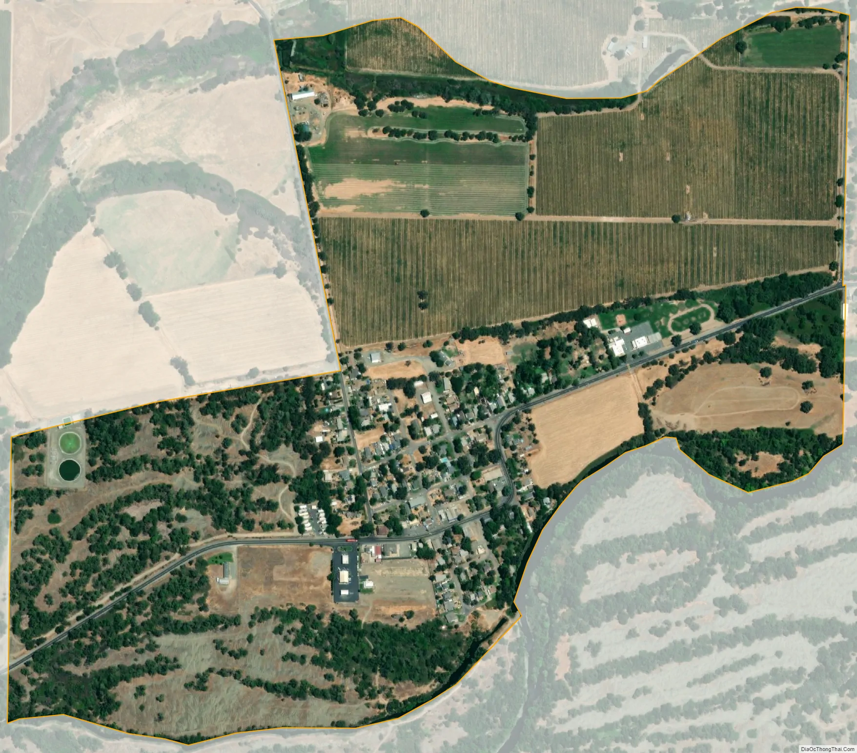
Snelling city Satellite Map
Geography
Snelling is in northeastern Merced County along the eastern edge of California’s Central Valley, where the Merced River emerges from the foothills of the Sierra Nevada. It is at the north end of California State Route 59, which leads south to Merced, the county seat.
According to the United States Census Bureau, the Snelling CDP covers an area of 0.5 square miles (1.3 km), of which 0.005 square miles (0.013 km), or 0.92%, are water.
See also
Map of California State and its subdivision:- Alameda
- Alpine
- Amador
- Butte
- Calaveras
- Colusa
- Contra Costa
- Del Norte
- El Dorado
- Fresno
- Glenn
- Humboldt
- Imperial
- Inyo
- Kern
- Kings
- Lake
- Lassen
- Los Angeles
- Madera
- Marin
- Mariposa
- Mendocino
- Merced
- Modoc
- Mono
- Monterey
- Napa
- Nevada
- Orange
- Placer
- Plumas
- Riverside
- Sacramento
- San Benito
- San Bernardino
- San Diego
- San Francisco
- San Joaquin
- San Luis Obispo
- San Mateo
- Santa Barbara
- Santa Clara
- Santa Cruz
- Shasta
- Sierra
- Siskiyou
- Solano
- Sonoma
- Stanislaus
- Sutter
- Tehama
- Trinity
- Tulare
- Tuolumne
- Ventura
- Yolo
- Yuba
- Alabama
- Alaska
- Arizona
- Arkansas
- California
- Colorado
- Connecticut
- Delaware
- District of Columbia
- Florida
- Georgia
- Hawaii
- Idaho
- Illinois
- Indiana
- Iowa
- Kansas
- Kentucky
- Louisiana
- Maine
- Maryland
- Massachusetts
- Michigan
- Minnesota
- Mississippi
- Missouri
- Montana
- Nebraska
- Nevada
- New Hampshire
- New Jersey
- New Mexico
- New York
- North Carolina
- North Dakota
- Ohio
- Oklahoma
- Oregon
- Pennsylvania
- Rhode Island
- South Carolina
- South Dakota
- Tennessee
- Texas
- Utah
- Vermont
- Virginia
- Washington
- West Virginia
- Wisconsin
- Wyoming